The best running trails around Uley
4.6
(104)
8,349
runners
503
runs
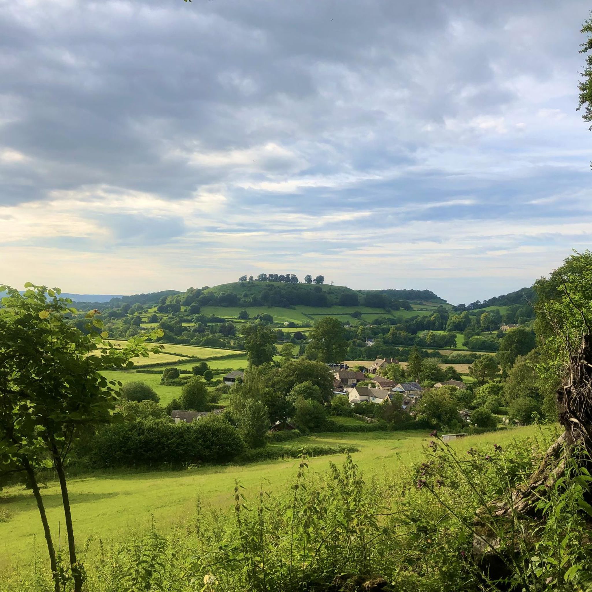
Jogging around Uley offers a variety of routes through the region's undulating landscape. The area is characterized by rolling hills, such as Cam Long Down and Coaley Peak, and features numerous forest paths. Runners can expect varied terrain, including climbs and descents, providing a good workout. The routes often traverse open countryside and wooded areas, showcasing the natural environment of Uley.
Best jogging routes around Uley
- The most popular jogging route is Cam Long Down loop from Uley, a…
Last updated: November 5, 2026
8
runners
10.3km
01:19
270m
270m
Moderate run. Good fitness required. Mostly runnable paths. Some sure-footedness required.
4.5
(2)
162
runners
13.4km
01:40
300m
300m
Moderate run. Good fitness required. Mostly paved surfaces.

5.0
(1)
137
runners
21.2km
02:42
560m
560m
Hard run. Very good fitness required. Mostly paved surfaces.
57
runners
8.51km
00:59
150m
160m
Moderate run. Good fitness required. Mostly paved surfaces.
54
runners
12.1km
01:17
140m
140m
Moderate run. Good fitness required. Mostly paved surfaces.
Get access to more routes and recommendations from other explorers.
Already have an account?
Our route recommendations are based on thousands of hikes, rides, and runs completed by other people on komoot.
Start today with a free account
Your next adventure awaits.
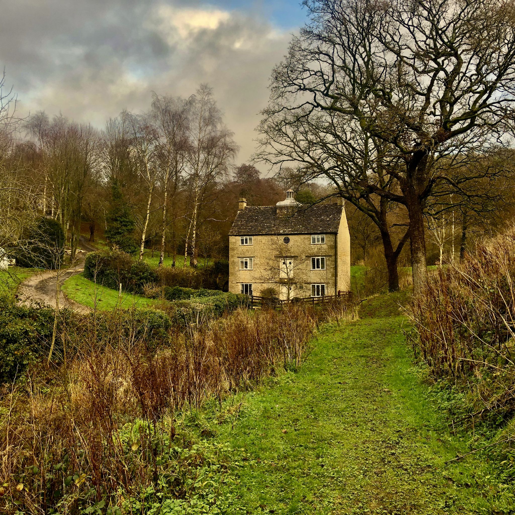
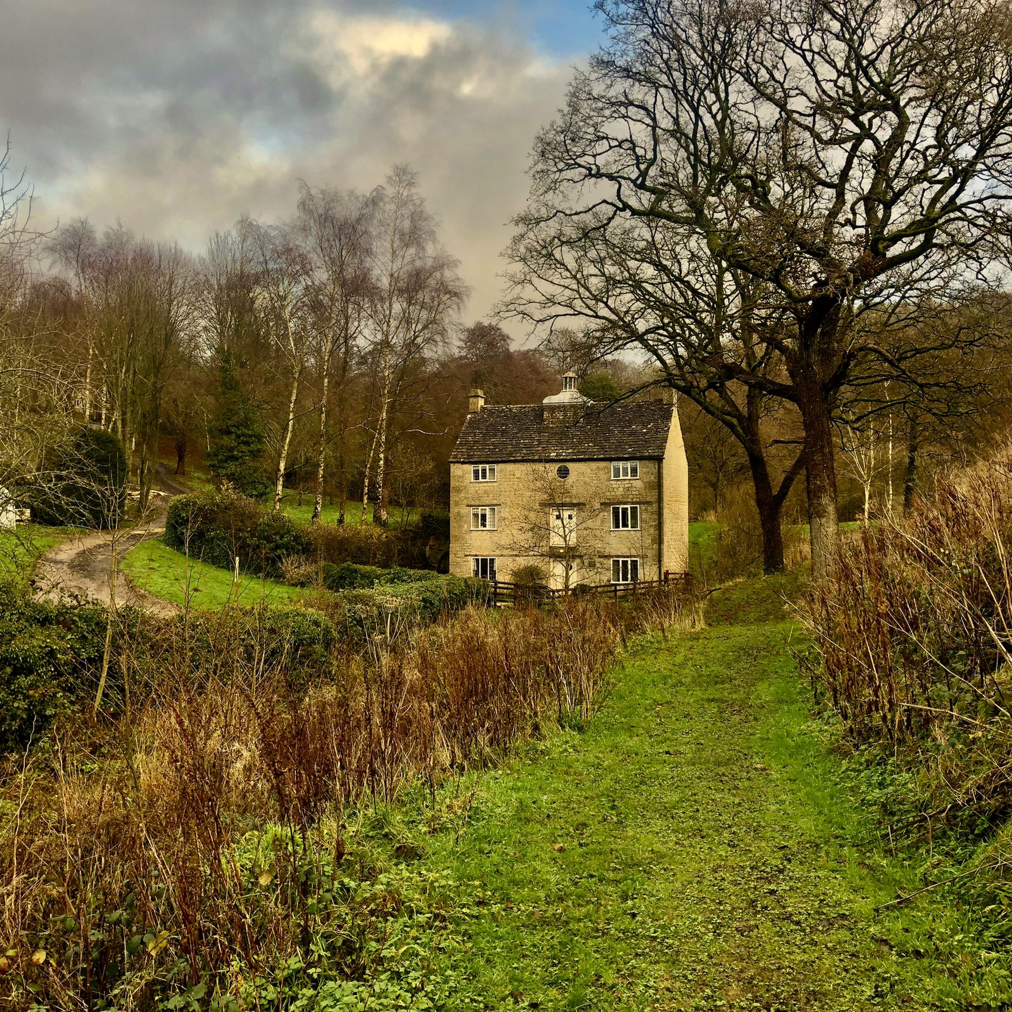
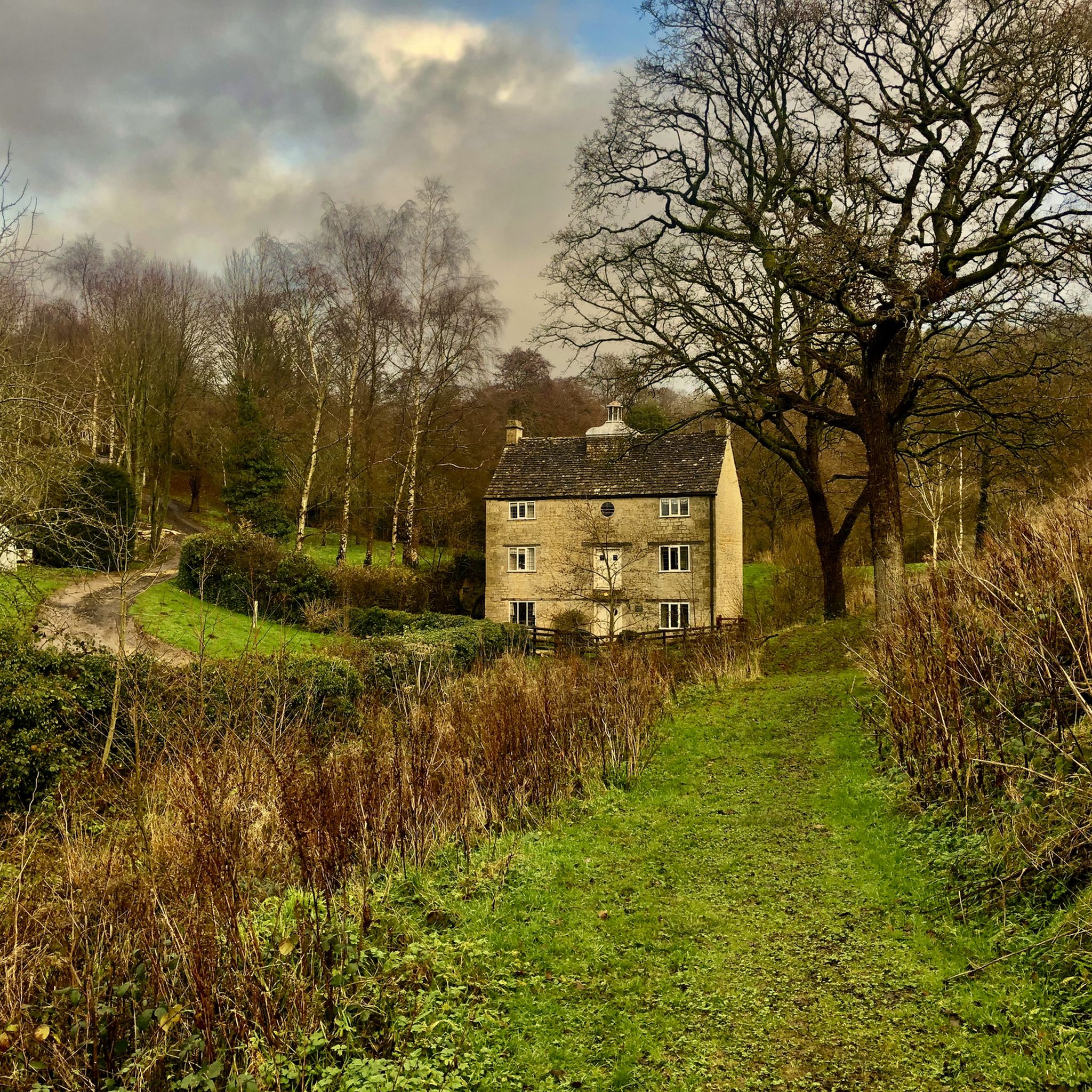

Tips from the Community

Imposing monument that can be seen for miles. It was open when I passed, so it had to be climbed! At the moment there is a ladder up one side as a brave soul is re-gilding the cross at the top - more than a 100 feet above the ground.
0
0
A small copse of trees inside a round wall at a fine viewpoint above Wotton Under Edge.
0
0
Excellent viewpoint that has a decent car park making it a good starting point for walks.
0
0
A steady climb (or descent) to the top of Coaley Peak through Coaley Woods.
0
0
Nympsfield Long Barrow is a couple of hundred yards from the viewpoint and is worth taking in. The view from Coaley Peak south to the Dursley Hills and the Tyndale Monument is excellent.
0
0
Frequently Asked Questions
What kind of terrain can I expect on Uley's running trails?
The running routes around Uley are characterized by undulating landscapes, including rolling hills like Cam Long Down and Coaley Peak. You'll encounter varied terrain, often traversing open countryside and wooded areas, with both climbs and descents. This provides a good workout and diverse scenery.
Are there running routes suitable for beginners or those seeking an easy run in Uley?
The routes in Uley are generally rated as moderate in difficulty, featuring varied terrain and elevation changes. While there are no routes specifically classified as 'easy' in the guide, options like the Mawdesley's Pond loop from Uley have less elevation gain compared to others, making them potentially more accessible for those looking for a less strenuous run.
What scenic views or landmarks can I expect to see while running in Uley?
Many routes offer expansive views across the Severn Vale. Notable viewpoints include View of the Severn Vale from Coaley Peak and Haresfield Beacon. You might also pass by landmarks such as the William Tyndale Monument, offering historical interest along your run.
Can I bring my dog on the jogging trails around Uley?
Many of Uley's trails are suitable for dogs, especially those traversing open countryside and woodlands. However, it's always advisable to keep dogs on a lead, particularly when passing through farmland with livestock or nature reserves, and to check local signage for any specific restrictions.
Are Uley's running routes suitable for families?
Given the moderate difficulty and varied terrain with climbs and descents, some routes might be challenging for very young children or those not accustomed to running. However, families with older children who enjoy active outdoor pursuits may find routes like the Coaley Climb Forest Path loop from Uley enjoyable for its woodland setting.
Is parking available near the trailheads in Uley?
While specific parking details for each trailhead are not provided, Uley is a village in a rural area, and parking is generally available in or near the village center, or at popular starting points for walks and runs. It's recommended to check local maps or komoot route details for designated parking areas before your visit.
What is the typical duration for a run in Uley?
The running routes in Uley vary in length and elevation. For example, the Cam Long Down loop from Uley, which is 4.8 miles (7.7 km), typically takes about 1 hour to complete. Longer routes, such as the Dursley Market House – St Giles' Church, Uley loop from Uley at 7.2 miles (11.6 km), can take closer to 1 hour and 20 minutes or more, depending on your pace and stops.
What do other runners enjoy most about jogging in Uley?
The running routes in Uley are highly rated by the komoot community, with an average score of 4.5 stars from over 80 reviews. Runners often praise the varied terrain, the beautiful natural environment, and the expansive views across the downs and valleys, providing a rewarding outdoor experience.
Are there any running routes that pass by a pub in Uley?
While specific routes passing directly by pubs are not detailed, the village of Uley itself has local establishments. For example, the The Black Shed, Patch Bridge is a nearby pub that could be incorporated into a longer run or visited post-run. You might find routes that start or end near the village center, offering convenient access to refreshments.
How many jogging routes are available in Uley?
There are 10 distinct jogging routes detailed in this guide for the Uley area, offering a variety of distances and elevation profiles to explore the region's natural beauty.
What is the best time of year for running in Uley?
Uley's rolling hills and forest paths are enjoyable year-round. Spring brings wildflowers and fresh greenery, while autumn offers vibrant foliage. Summer provides longer daylight hours, and winter runs can be crisp and clear, though trails may be muddy or slippery after rain or frost. Always check local weather conditions before heading out.
Are there any longer running options for endurance training in Uley?
Yes, for those seeking longer runs, the Dursley Market House – St Giles' Church, Uley loop from Uley is a substantial 7.2 miles (11.6 km) route. Another option is the Coaley Peak – Coaley Climb Forest Path loop from Uley, which covers 9.1 miles (14.7 km), providing a good challenge for endurance.
Most popular attractions around Uley

Get inspired with the komoot mobile app


Explore more
Browse the best Running Trails & Routes in other regions.
