The best road cycling routes around Mary Tavy
4.7
(48)
3,362
riders
119
rides
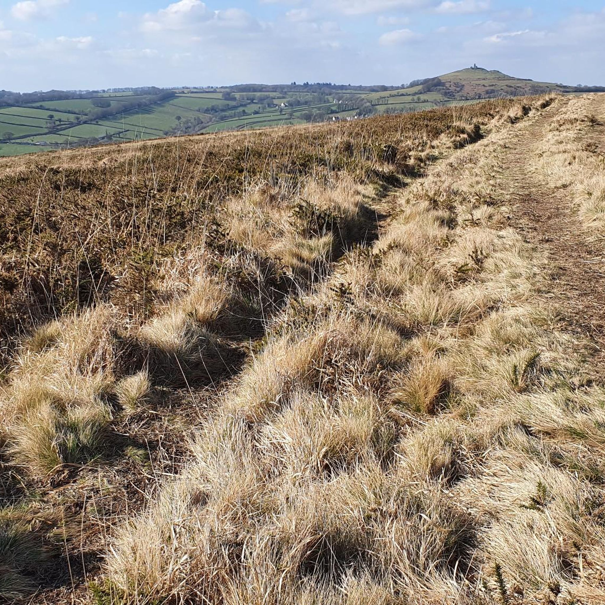
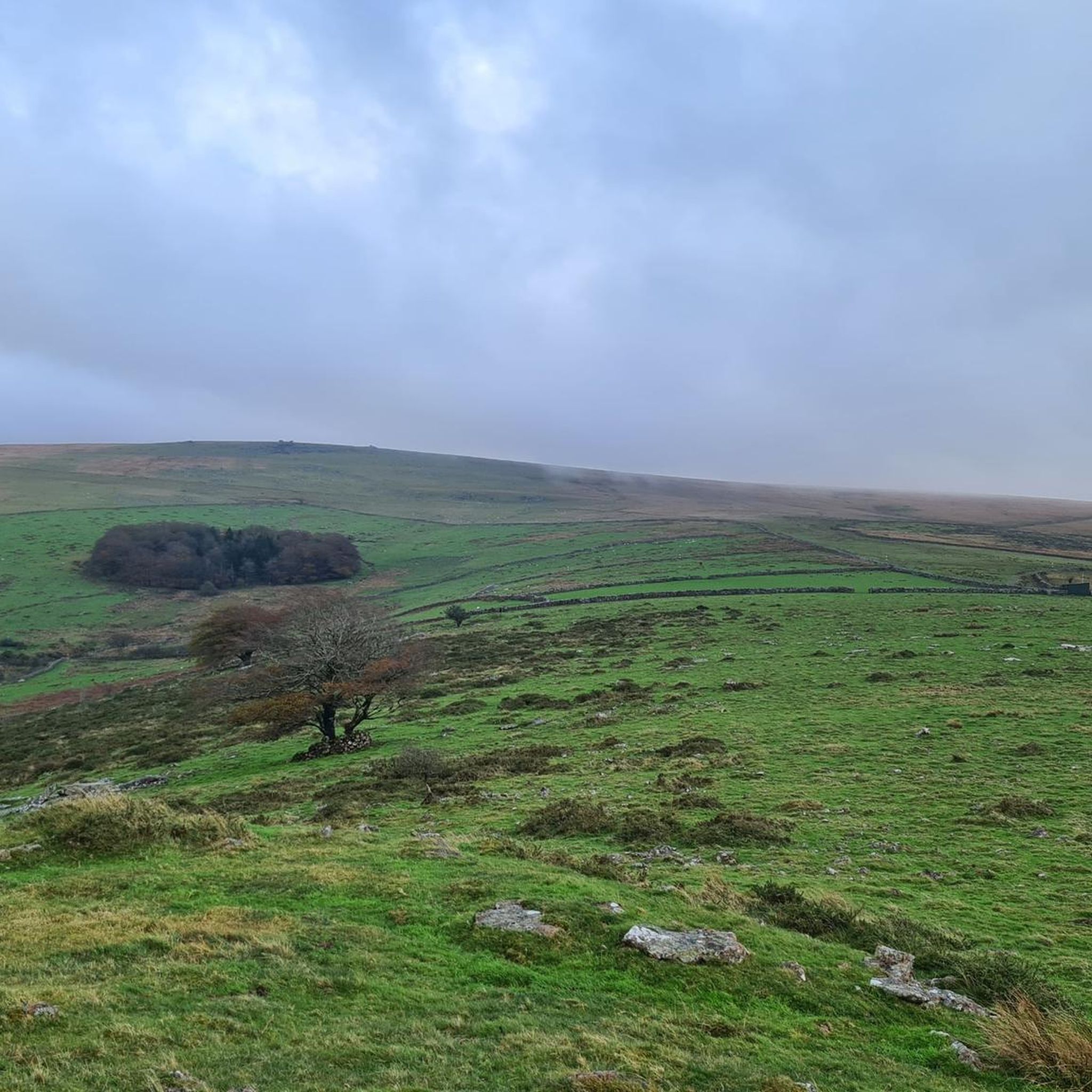
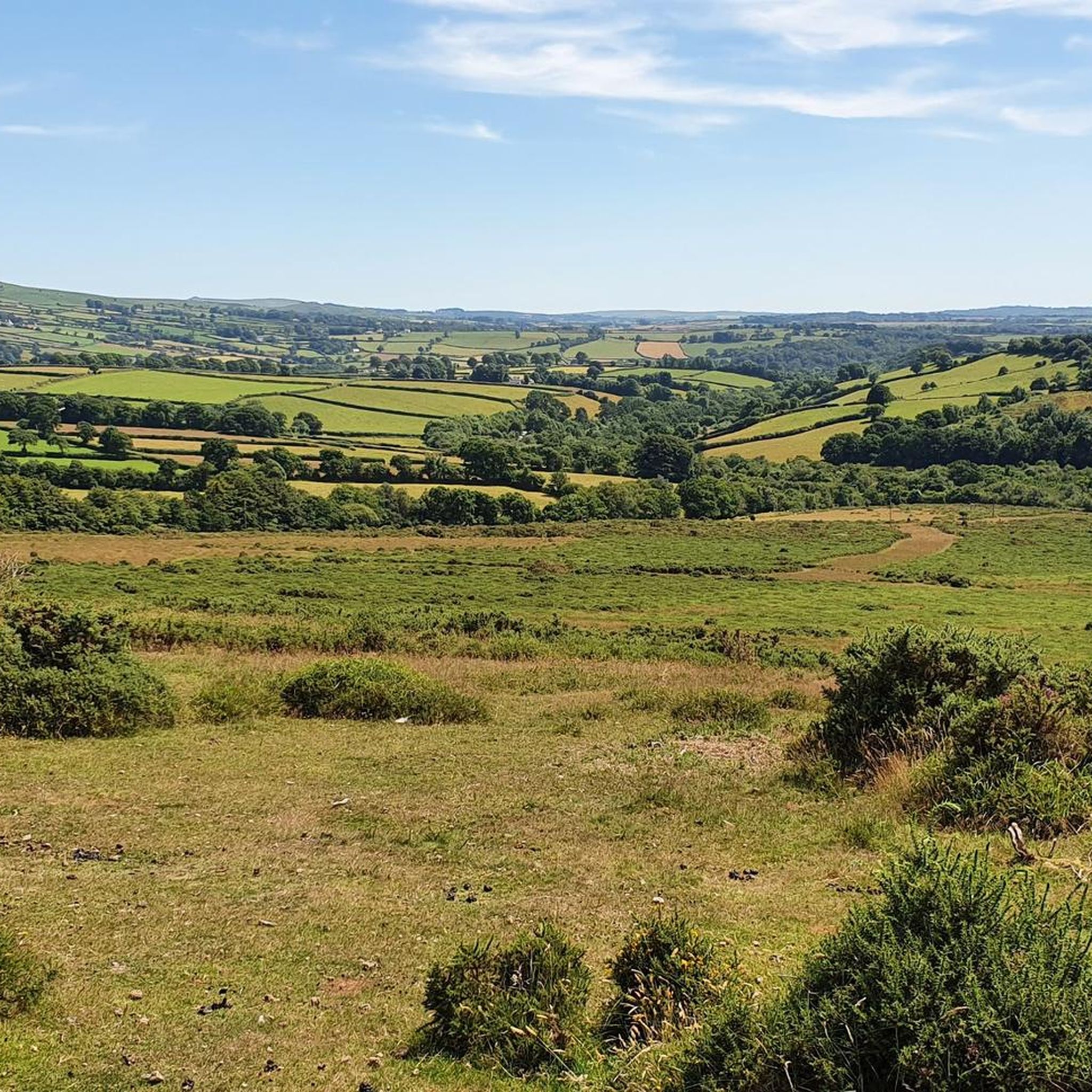
Road cycling routes around Mary Tavy are set within the western edge of Dartmoor National Park, offering diverse terrain for cyclists. The region features open moorland, wooded valleys, and the River Tavy, providing varied landscapes. Prominent granite tors, such as Brentor, are characteristic of the area, offering elevated viewpoints. The terrain includes both challenging climbs and more gentle sections, with mostly paved surfaces suitable for road cycling.
Best road cycling routes around Mary Tavy
- The most popular road cycling route…
Last updated: June 27, 2026
5.0
(2)
188
riders
45.7km
02:22
730m
730m
Moderate road ride. Good fitness required. Mostly well-paved surfaces and easy to ride.
5.0
(2)
110
riders
Moderate road ride. Good fitness required. Mostly well-paved surfaces and easy to ride.

Sign up for free
27
riders
56.7km
03:12
1,110m
1,110m
Hard road ride. Very good fitness required. Some segments of this route may be unpaved and difficult to ride.
5.0
(1)
19
riders
91.3km
05:07
1,730m
1,730m
Hard road ride. Very good fitness required. Mostly well-paved surfaces and easy to ride.
5.0
(2)
13
riders
Moderate road ride. Good fitness required. Mostly well-paved surfaces and easy to ride.
Get access to more routes and recommendations from other explorers.
Sign up for free
Already have an account?
Our route recommendations are based on thousands of hikes, rides, and runs completed by other people on komoot.
Start today with a free account
Your next adventure awaits.
Login or Signup


Other adventures around Mary Tavy

Tips from the Community


Ancient bridge across the river, a lovely spot for lunch.
0
0

hikers and cyclists always receive a warm welcome no matter how wet the weather, hearty portions of great food 😋
0
0
The path along the old railway track is very overgrown, muddy and in parts one is walking in a stream for a good distance. Wouldn’t recommend it.
1
0
A beautifully quaint part of the country and such a nice spot to include on a run.
0
0
Frequently Asked Questions
How many road cycling routes are available around Mary Tavy?
There are over 120 road cycling routes around Mary Tavy, catering to various skill levels. You'll find 17 easy routes, 74 moderate, and 30 difficult options, ensuring there's a ride for every cyclist.
What kind of terrain and elevation can I expect on road cycling routes near Mary Tavy?
The region offers diverse terrain, from the open moorland of Dartmoor to wooded river valleys. You can expect both challenging climbs, such as those on the Postbridge Clapper Bridge – Burrator Reservoir and Dam loop which features over 1700m of ascent, and more gentle sections. Most routes feature mostly paved surfaces, suitable for road cycling.
Are there any circular road cycling routes around Mary Tavy?
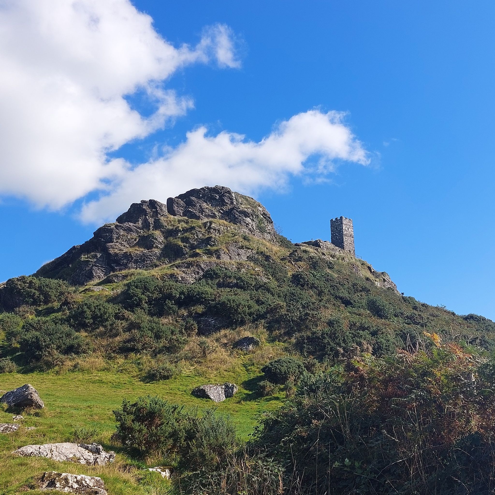
Yes, many routes around Mary Tavy are circular, allowing you to start and end in the same location. For example, the Abbey Bridge and Weir – Burrator Reservoir and Dam loop from Tavy Business Centre is a moderate 28.4-mile circular route exploring reservoirs and dams. Another option is the St Michael's Church, Brent Tor – Abbey Bridge and Weir loop from Peter Tavy, a 13.9-mile moderate loop featuring the iconic Brentor.
What are some scenic viewpoints or natural features I can see while road cycling near Mary Tavy?
Road cycling routes around Mary Tavy offer stunning views of Dartmoor's open moorland and granite tors. You can encounter prominent tors like Yes Tor summit and High Willhays summit, the highest points in southern England. The St Michael's Church, Brent Tor – Abbey Bridge and Weir loop takes you past Brentor, a hill with a church perched on its peak, offering panoramic views.
Are there any waterfalls accessible or visible from road cycling routes?
Yes, the region is home to beautiful waterfalls. Lydford Gorge, a National Trust property, features dramatic waterfalls like Whitelady Waterfall, which can be incorporated into cycling routes. You might also pass by Abbey Bridge and Weir, offering picturesque scenery along the River Tavy.
What do other road cyclists enjoy the most about road cycling in Mary Tavy?
The area is highly rated by the komoot community, with an average score of 4.7 stars from over 40 reviews. Cyclists often praise the diverse terrain, from open moorland to wooded valleys, and the stunning views of Dartmoor's granite tors. The variety of routes, from moderate loops to more difficult, longer rides, is also a significant draw.
Are there any long-distance road cycling options from Mary Tavy?
Yes, for those seeking longer rides, Mary Tavy provides access to routes that extend across Dartmoor. The Postbridge Clapper Bridge – Burrator Reservoir and Dam loop from Pitts Cleave is a challenging 56.7-mile route with over 1700m of elevation gain, offering a substantial ride through the national park. Additionally, the region connects to parts of the Granite Way and Drake's Trail, which are longer cycling networks.
Can I find family-friendly road cycling routes near Mary Tavy?
While many routes around Mary Tavy involve significant elevation, there are sections of nearby trails that are more suitable for families. The Granite Way, an 11-mile traffic-free trail between Okehampton and Lydford, offers relatively flat sections with magnificent views, making it a good option for a family outing. It's part of the Devon Coast to Coast (National Cycle Network Route 27).
What is the best time of year for road cycling around Mary Tavy?
The region offers cycling opportunities year-round, but spring and summer generally provide the most favorable weather conditions for road cycling, with longer daylight hours and milder temperatures. Autumn can also be beautiful with changing foliage. Winter cycling is possible but may require more preparation due to colder weather and potentially wet conditions on Dartmoor.
Are there any historical sites or landmarks along the road cycling routes?
Yes, you can incorporate historical sites into your rides. The St Michael's Church, Brent Tor – Abbey Bridge and Weir loop passes by Brentor, a historic hillfort with a church. Other routes might take you near Lydford Castle and Saxon Town, or even the Dartmoor Prison Museum near Princetown, adding cultural interest to your journey.
Are there any less crowded road cycling routes or areas around Mary Tavy?
While popular routes can see more traffic, exploring the wider network of Dartmoor's roads often leads to quieter sections. The western side of Dartmoor, where Mary Tavy is located, is known for its wilder and more remote feel compared to some other parts of the national park, offering opportunities for less crowded rides, especially on weekdays or outside peak season.
Are there options for beginner road cyclists in Mary Tavy?
Yes, while Dartmoor is known for its challenging terrain, there are routes suitable for beginners. You'll find 17 routes classified as 'easy' in the area. These routes typically have less elevation gain and shorter distances, providing a good starting point for those new to road cycling in the region.
Most popular routes around Mary Tavy
Most popular attractions around Mary Tavy

Get inspired with the komoot mobile app


Explore more
Browse the best Road cycling routes in other regions.
