The best road cycling routes around Quarnford
4.5
(42)
2,210
riders
145
rides
Road cycling around Quarnford offers routes through varied terrain, characterized by gritstone ridges and distinctive limestone hills such as Chrome Hill and Parkhouse Hill. The area is situated near the sources of rivers like the Dove and Manifold, creating scenic routes through river valleys. Cyclists can expect elevated starting points and panoramic views across the Staffordshire moors, Derbyshire hills, and the Cheshire Plain, as Quarnford is close to Flash, the highest village in England. This combination provides a diverse environment…
Last updated: May 25, 2026
64
riders
45.6km
02:51
900m
900m
Moderate road ride. Good fitness required. Some segments of this route may be unpaved and difficult to ride.
11
riders
37.6km
01:52
520m
520m
Moderate road ride. Good fitness required. Mostly well-paved surfaces and easy to ride.

Sign up for free
10
riders
47.0km
02:35
790m
790m
Moderate road ride. Good fitness required. Mostly well-paved surfaces and easy to ride.
6
riders
40.3km
02:17
750m
750m
Moderate road ride. Good fitness required. Mostly well-paved surfaces and easy to ride.
6
riders
70.9km
03:44
1,050m
1,050m
Hard road ride. Very good fitness required. Mostly well-paved surfaces and easy to ride.
Get access to more routes and recommendations from other explorers.
Sign up for free
Already have an account?
Our route recommendations are based on thousands of hikes, rides, and runs completed by other people on komoot.
Start today with a free account
Your next adventure awaits.
Login or Signup
Tips from the Community

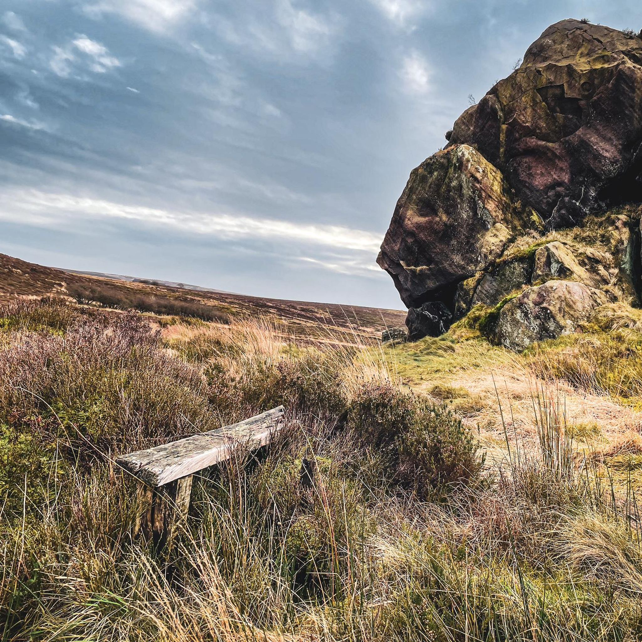
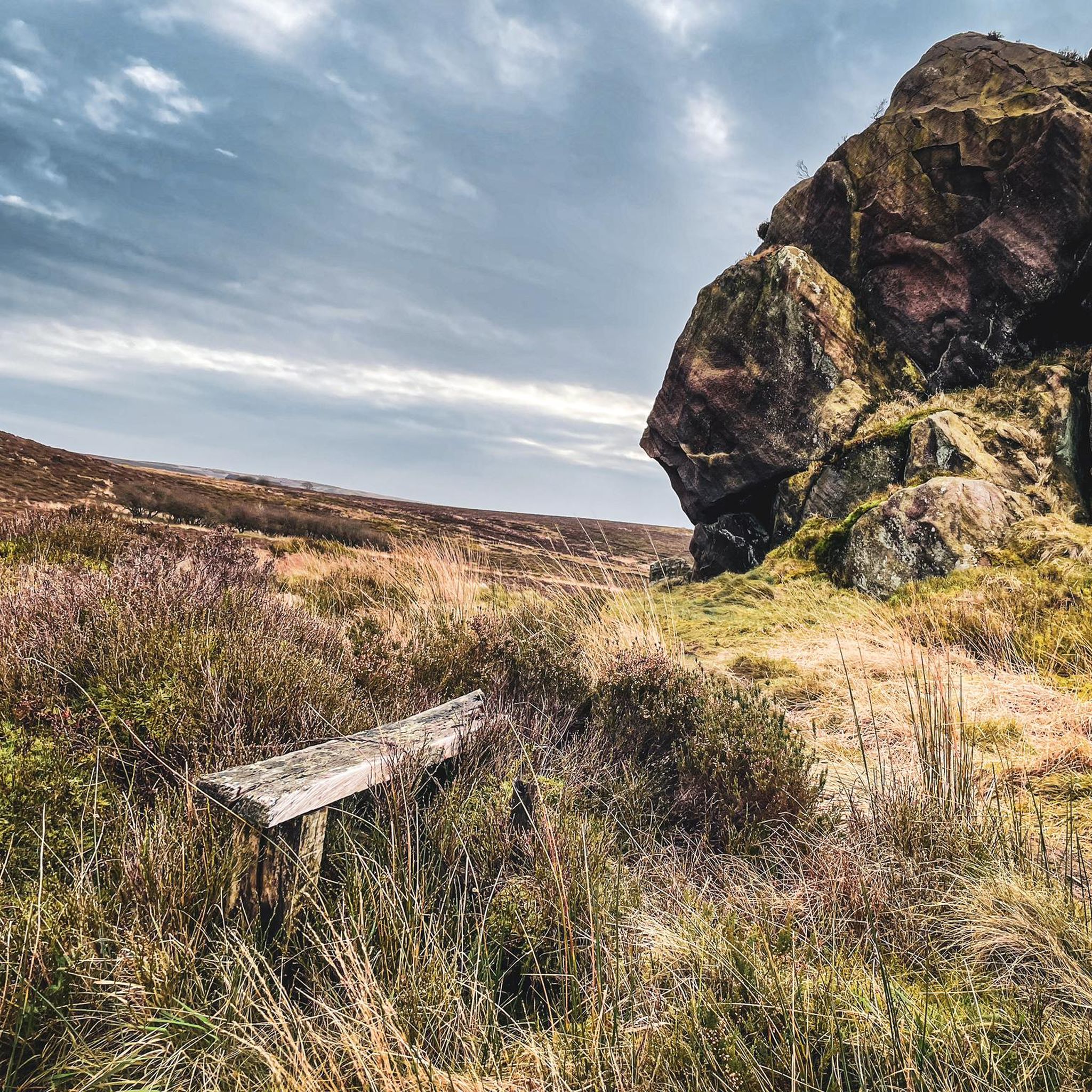
Great view of the Roaches. Interesting legends / myths about the pool online. Also known as Blakemere Pool.
0
0

Many places along the back lanes to get a lovely view of Parkhouse House and Chrome Hills.
0
0
Great place with a choice of cafes and a chippy, not to mention a pub.
0
0
Watch some of the descents in this area during wet or icy weather.
0
0

Small town in the national park with visitor centre
1
0

Fantastic views from up here over big skies and a rugged landscape. Well worth the effort on a sunny day.👌
0
0

Great views, steady climb & fast descent's, what's not to love?
0
0
Frequently Asked Questions
What kind of terrain can I expect on road cycling routes around Quarnford?
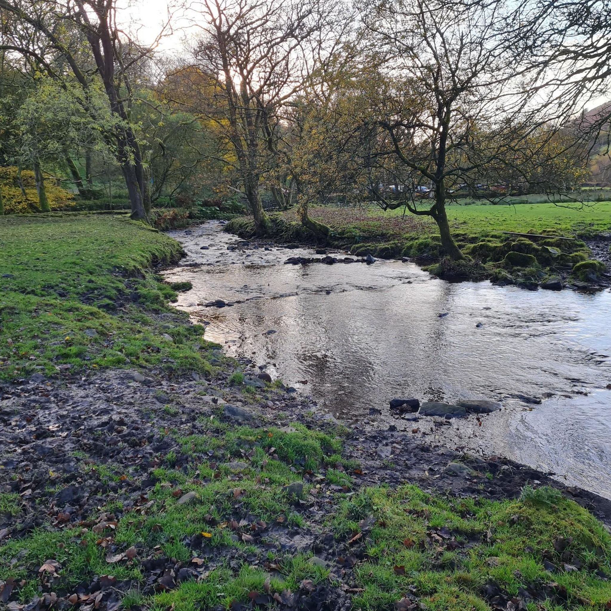
Road cycling around Quarnford offers a diverse landscape, characterized by dramatic gritstone ridges and distinctive limestone hills like Chrome Hill and Parkhouse Hill. You'll also find scenic routes through river valleys, as the area is near the sources of rivers such as the Dove and Manifold. Given its proximity to Flash, England's highest village, many routes feature elevated starting points and offer panoramic views across the Staffordshire moors, Derbyshire hills, and the Cheshire Plain.
Are there challenging climbs for experienced road cyclists in the Quarnford area?
Yes, the region around Quarnford, being part of the Peak District National Park, is known for its challenging climbs. While specific routes vary, you can expect demanding ascents that test your endurance, often rewarded with incredible views. The wider Peak District, for example, features climbs like Mam Tor, which has been used in national hill climb championships, indicating the type of challenging terrain available.
What are some notable natural landmarks or viewpoints I can see while cycling near Quarnford?
The area boasts several impressive natural landmarks and viewpoints. You can encounter iconic limestone hills such as Chrome Hill and Parkhouse Hill. For panoramic views, consider routes that pass by High Wheeldon Summit Trig Point or Shining Tor trig point. The Trig point on The Roaches also offers stunning vistas.
Are there any routes that feature waterfalls or historic sites?
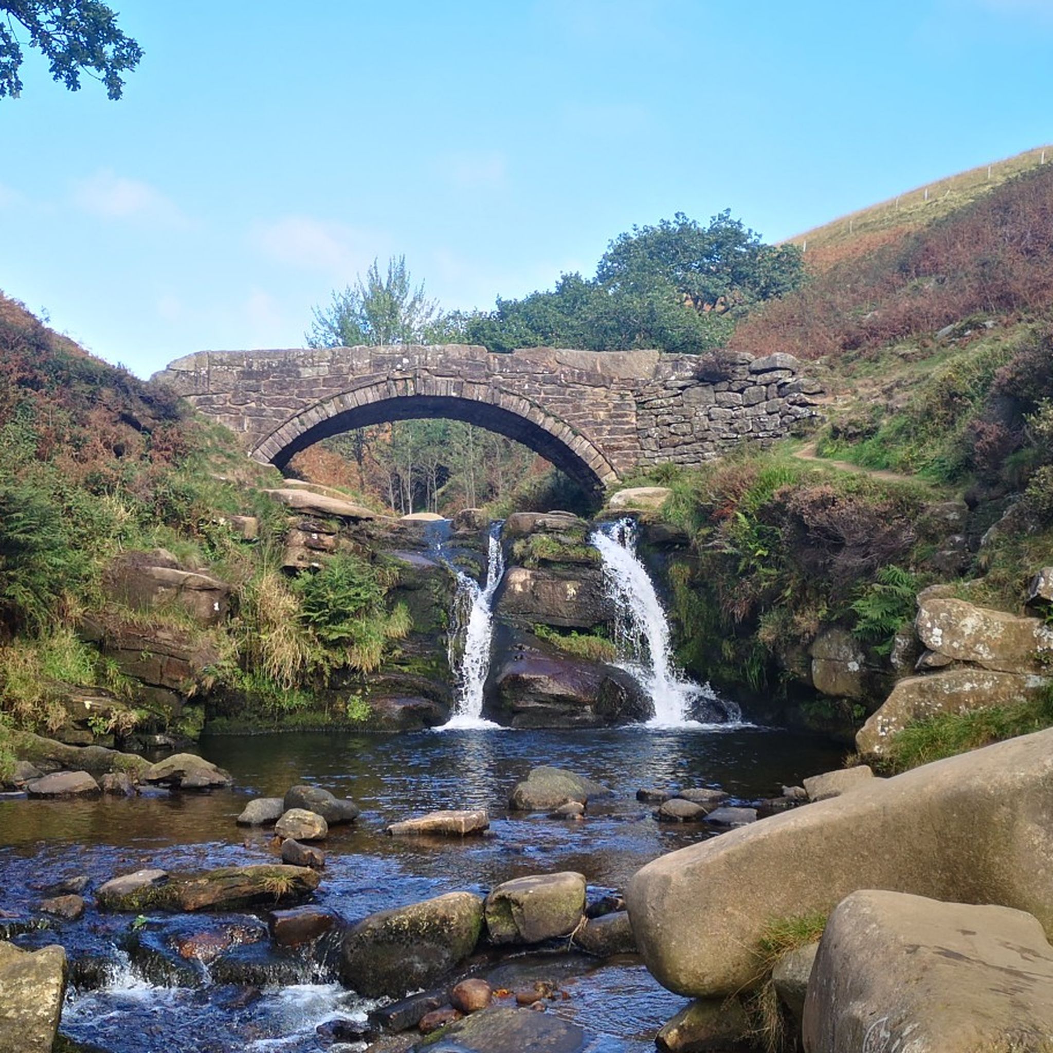
Yes, a popular and scenic destination accessible by bike is Three Shires Head Stone Bridge and Waterfalls, a historic beauty spot where three counties meet, marked by a charming packhorse bridge and waterfalls. Other waterfalls in the vicinity include Deep Clough Waterfall and Cumberland Clough Waterfall.
What is the best time of year for road cycling in Quarnford?
The best time for road cycling in Quarnford is generally from spring through autumn when the weather is milder and more predictable. Summer offers the longest daylight hours, but can also see more tourist traffic. Spring and autumn provide beautiful scenery with fewer crowds. Winter cycling is possible but requires careful planning due to potentially challenging conditions like ice, snow, and shorter daylight hours, especially on higher elevation routes.
Are there any circular road cycling routes available from Quarnford?
Yes, many of the road cycling routes around Quarnford are designed as loops, allowing you to start and finish in the same location. For example, the Descent Into Whalley loop from University of Derby, Buxton and the View of Ramshaw Rocks – Mermaid Pool loop from Heathylee are popular circular options.
What is the general difficulty level of road cycling routes in this area?
The road cycling routes around Quarnford offer a range of difficulty levels. You'll find a good selection of moderate routes, which make up the majority, alongside more challenging options that include significant climbs. For example, the Crowdicote Climb – Lathkill Dale loop from Quarnford is a moderate route with challenging climbs, while the Ilam Village and Monument – Long Dale Road loop from The Roaches is considered difficult.
How long do road cycling routes near Quarnford typically take to complete?
The duration of road cycling routes varies depending on their distance and elevation gain. For instance, a moderate route like the Descent Into Whalley loop from University of Derby, Buxton (45.6 km) typically takes around 2 hours 51 minutes. Shorter, less strenuous routes might be quicker, while longer, more challenging ones, such as the Ilam Village and Monument – Long Dale Road loop from The Roaches (70.9 km), can take over 3 hours 40 minutes.
Are there any family-friendly road cycling routes near Quarnford?
While many routes in the Quarnford area involve varied terrain and climbs, there are options suitable for families or those seeking a less strenuous ride. Look for routes designated as 'easy' or 'moderate' with lower elevation gains. It's always recommended to check the route details, including distance and elevation profile, to ensure it matches your family's ability and experience level.
What do other road cyclists say about the routes around Quarnford?
The road cycling routes around Quarnford are highly regarded by the komoot community, with an average rating of 4.5 stars from over 40 reviews. Cyclists often praise the varied terrain, stunning panoramic views, and the opportunity to explore both gritstone ridges and picturesque river valleys. Many appreciate the combination of challenging climbs and scenic descents that the area offers.
Where can I find parking for road cycling routes in the Quarnford area?
Parking availability varies depending on the specific starting point of your chosen route. Many routes begin from villages or trailheads where designated parking areas or roadside parking may be available. For popular spots like Three Shires Head, specific parking information can often be found in the route descriptions or local visitor guides. It's advisable to check parking details for your specific route in advance.
Is public transport available to reach road cycling trails near Quarnford?
Public transport options to Quarnford and surrounding trailheads can be limited, as it is a rural area within the Peak District National Park. Bus services connect some of the larger towns and villages in the Peak District, but direct routes to specific trailheads might be infrequent. Planning your journey in advance and checking local bus timetables is recommended if you intend to use public transport.
Are there cafes or pubs along the road cycling routes in Quarnford?
Yes, you'll find cafes and pubs in the villages scattered throughout the region, including Quarnford itself and nearby Flash, which is England's highest village. These establishments offer opportunities for refreshments and breaks during your ride. Some routes, like the Wetton Mill Tea Room – Mermaid Pool loop from Leekfrith, even highlight specific tea rooms or pubs as points of interest.
Most popular routes around Quarnford
Most popular attractions around Quarnford

Get inspired with the komoot mobile app


Explore more
Browse the best Road cycling routes in other regions.
