The best road cycling routes around Burrowbridge
4.4
(104)
4,263
riders
289
rides
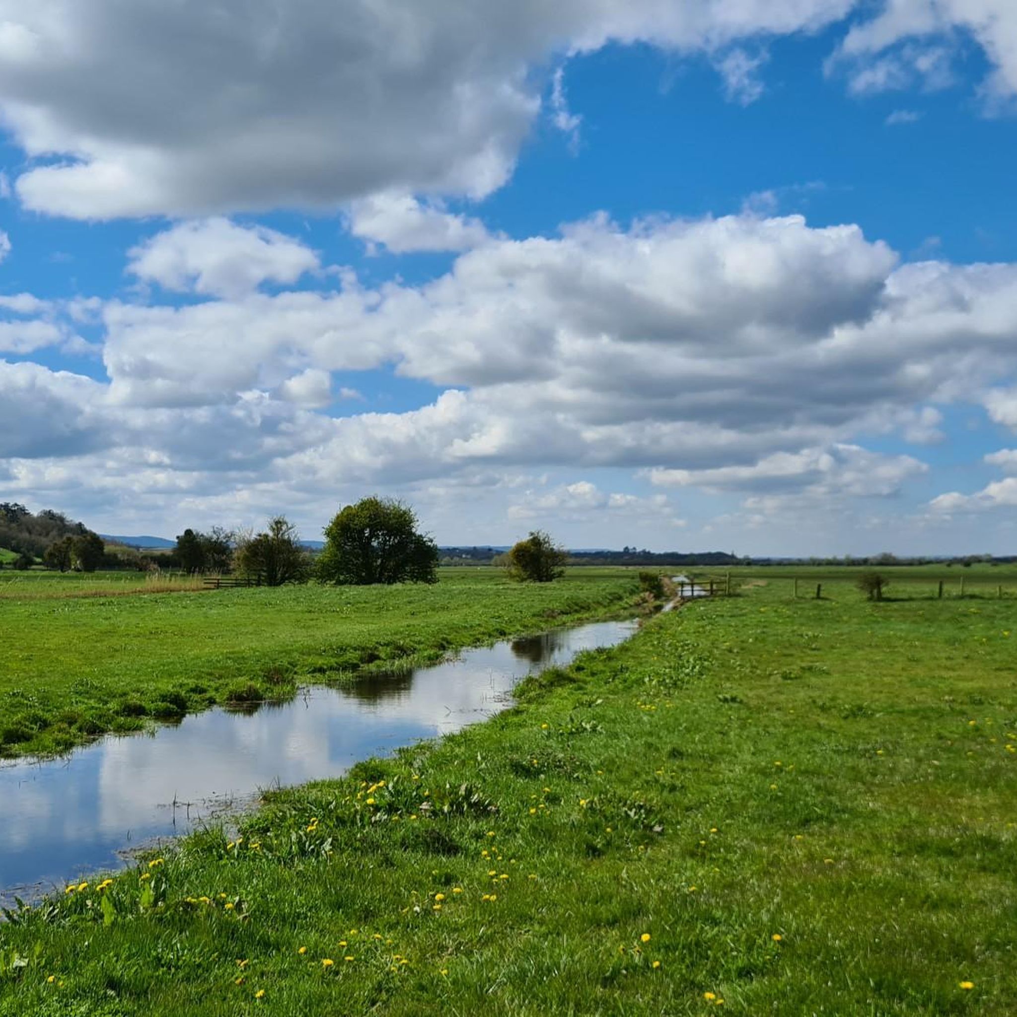
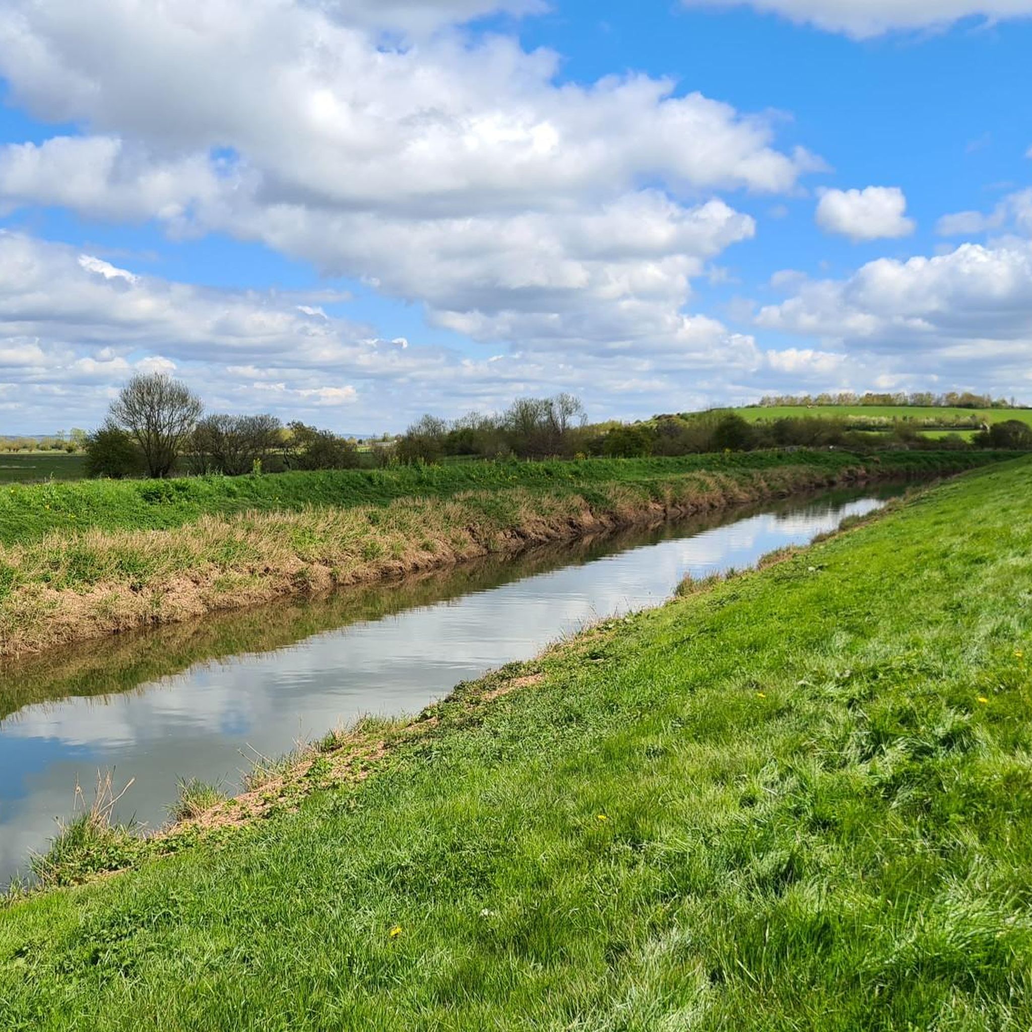
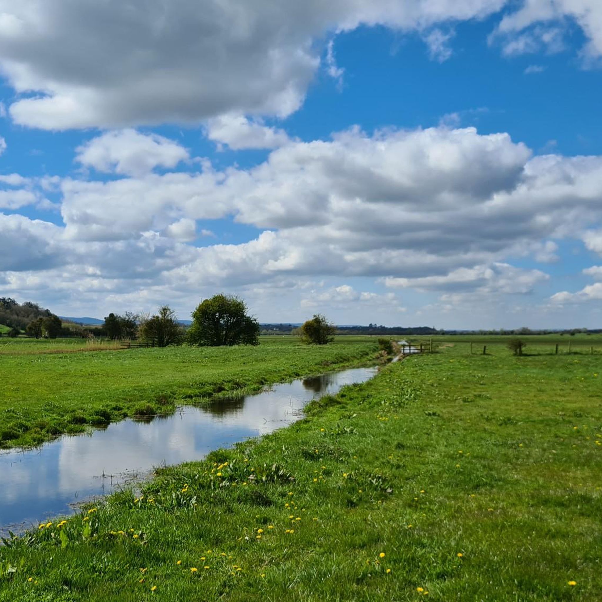
Road cycling around Burrowbridge offers routes through the flat, rural landscapes of the Somerset Levels. The area is characterized by open farmland, quiet country lanes, and the meandering River Parrett. Gentle gradients are common, making it suitable for various skill levels.
Best road cycling routes around Burrowbridge
- The most popular road cycling route is Yandle's Sawmills – Little Bakery loop from Curry Rivel, a 26.3 miles (42.3 km) trail that takes about 1 hour 48 minutes to complete. This…
Last updated: May 20, 2026
5.0
(1)
97
riders
42.8km
01:49
270m
270m
Easy road ride. Great for any fitness level. Mostly well-paved surfaces and easy to ride.
5.0
(2)
60
riders
46.4km
02:15
240m
240m
Moderate road ride. Good fitness required. Mostly well-paved surfaces and easy to ride.

Sign up for free
4.5
(4)
42
riders
44.4km
02:07
250m
250m
Moderate road ride. Good fitness required. Mostly well-paved surfaces and easy to ride.
30
riders
75.7km
03:18
570m
570m
Moderate road ride. Good fitness required. Mostly well-paved surfaces and easy to ride.
5.0
(1)
34
riders
22.7km
01:01
140m
140m
Easy road ride. Great for any fitness level. Mostly well-paved surfaces and easy to ride.
Get access to more routes and recommendations from other explorers.
Sign up for free
Already have an account?
Our route recommendations are based on thousands of hikes, rides, and runs completed by other people on komoot.
Start today with a free account
Your next adventure awaits.
Login or Signup
Tips from the Community

Great breakfast and coffee.
0
0

Be patient at busy times.
0
0

can get busy but plenty of seats inside and out lovely walk or ride along the river
0
0

The vanquishing of a royalist army in the south-west by the New Model Army further reduced the King's military capabilities and hastened his ultimate defeat. The New Model Army approached the small town of Langport from the east. It was a key bridging point where the major road from Somerton passed between two large areas of wet moorland. This was a logical place for the royalists to make a stand, or at least to try to hold up the parliamentarians in order to enable retreat, via Sedgemoor, to the port of Brridgewater. Goring sent his baggage and artillery ahead towards the port, keeping only two pieces of ordnance with the army. He then turned and marched out to the east of Langport, to face the parliamentarian army. Though he held a strong position, on high ground controlling the roads that approached the town from the east, his forces were still outnumbered and outgunned and were soon defeated. Although the royalist army was not destroyed at Langport, the defeat was to have a significant effect upon troop morale. As Goring admitted: 'the consequences of this blow is very much for there is so great terror and dejection amongst our men that I am confident at this present they could not be brought to fight against half their number’. Bridgwater fell soon after, isolating the remaining royalist garrisons in the West Country. Three alternative locations have been suggested for the battle along the Wagg Rhyne. Archaeological research by the Battlefields Trust in 2021 and 2023 indicates that the location of the battle is that registered by Historic England on either side of the B3153. The reports of these metal detecting surveys are available for download in the File Download section on the left of this webpage. Most of the landscape here is still agricultural but there has been some development, especially on the southern site, while there is continuing small scale erosion of the battlefield by small scale development right across this landscape. There is no on site interpretation or monument at the registered battlefield site, though an information board is located at Huish Episcopi on the A372. The Wagg Drove is a quiet narrow lane with verges running a little to the side of the Rhyne, giving public access across part of the battlefield. Furpits Lane, where there is some limited parking and public footpaths south east of Hamdown House and the Wagg Rhyne also enable the battlefield to be explored. The B3153 is a very busy, fast road with no verges. Although it is possible approach the point where the road crosses the Rhyne by walking along the Wagg Drove, it is not recommended to attempt to walk along the main road itself. A leaflet describing a battlefield walk at Langport can be downloaded from the panel on the left. https://www.battlefieldstrust.com/resource-centre/battleview.asp?BattleFieldId=20
0
0
Amazing coffee and lush cake. Lovely friendly cafe. Open in the week but also Sunday 10am to 1pm
0
0


The Church of the Blessed Virgin Mary in Huish Episcopi, Somerset, England, has 12th-century origins but was largely rebuilt in the 14th, 15th and 16th centuries. St Mary's impressive tower dates from around 1500 and was built in four stages replacing an earlier central tower. The tower was depicted on a postage stamp in 1972
1
0
The Church of All Saints in Langport, Somerset, England, has 12th-century origins but was rebuilt in the late 15th century. The church’s west tower, covered with gargoyles and its east window contains the largest collection of medieval stained glass in Somerset.
0
0
Frequently Asked Questions
How many road cycling routes are available around Burrowbridge?
There are nearly 300 road cycling routes around Burrowbridge, offering a wide range of options for different skill levels and preferences. This includes 99 easy routes, 176 moderate routes, and 18 more challenging options.
Are there easy road cycling routes suitable for beginners in Burrowbridge?
Yes, Burrowbridge offers many easy road cycling routes perfect for beginners. The flat, rural landscapes of the Somerset Levels provide gentle gradients. An excellent option is the Little Bakery – Muchelney Abbey Ruins loop from Curry Rivel, which is 20.8 miles (33.5 km) long and features minimal elevation gain.
What is the typical duration for road cycling routes in the Burrowbridge area?
The duration of road cycling routes around Burrowbridge varies. Many popular routes, such as the Yandle's Sawmills – Little Bakery loop from Curry Rivel, take approximately 1 hour 48 minutes to complete. Longer routes can extend to over 3 hours, depending on the distance and your pace.
What kind of terrain can I expect on road cycling routes around Burrowbridge?
Road cycling around Burrowbridge is characterized by flat, open farmland, quiet country lanes, and river valleys. The routes primarily traverse the Somerset Levels, offering gentle gradients and scenic views of the rural landscape and historic villages.
Are there any challenging road cycling routes for experienced riders?
While the region is known for its gentle terrain, there are 18 routes classified as difficult for those seeking more of a challenge. These routes may feature longer distances or slightly more varied elevation, though significant climbs are rare in the flat Somerset Levels.
What landmarks or attractions can I see along the road cycling routes?
Many routes pass by interesting landmarks. You can explore sites like Burrow Mump, a historic hill with a church offering panoramic views, or the Muchelney Abbey Ruins. Some routes also follow sections of the King's Sedgemoor Drain Riverside Path or the Bridgwater & Taunton Canal Path.
Are there circular road cycling routes available in Burrowbridge?
Yes, the majority of road cycling routes around Burrowbridge are circular, designed to bring you back to your starting point. This makes planning your ride convenient, as you won't need to arrange return transport. For example, the The Potting Shed – Old Brick Chimney and Plow loop from Stoke St. Gregory is a popular circular option.
What do other road cyclists enjoy most about cycling in Burrowbridge?
The road cycling routes in Burrowbridge are highly rated by the komoot community, with an average score of 4.4 stars from over 100 reviews. Cyclists often praise the quiet country lanes, the peaceful rural scenery, and the accessibility of the flat terrain, making it enjoyable for various skill levels.
Are there any long-distance road cycling routes around Burrowbridge?
For those looking for longer rides, routes like the Hollow Lane – Muchelney Abbey Ruins loop from Curry Rivel offer a substantial distance of 47.1 miles (75.8 km), providing an extended exploration of the Somerset Levels and its villages.
When is the best time of year for road cycling in Burrowbridge?
The best time for road cycling in Burrowbridge is typically from spring through autumn (April to October) when the weather is milder and the days are longer. The flat terrain means routes are generally accessible, but the Somerset Levels can be exposed to winds, and some lanes might be prone to flooding after heavy rain in winter.
Are there cafes or pubs along the road cycling routes for refreshment stops?
While specific establishments are not listed in route descriptions, the routes often pass through small villages. These villages, such as Curry Rivel and Stoke St. Gregory, typically offer local pubs or cafes where you can stop for refreshments and a break during your ride.
Most popular attractions around Burrowbridge

Get inspired with the komoot mobile app


Explore more
Browse the best Road cycling routes in other regions.
