The best running trails around Ozleworth
4.7
(84)
5,900
runners
327
runs
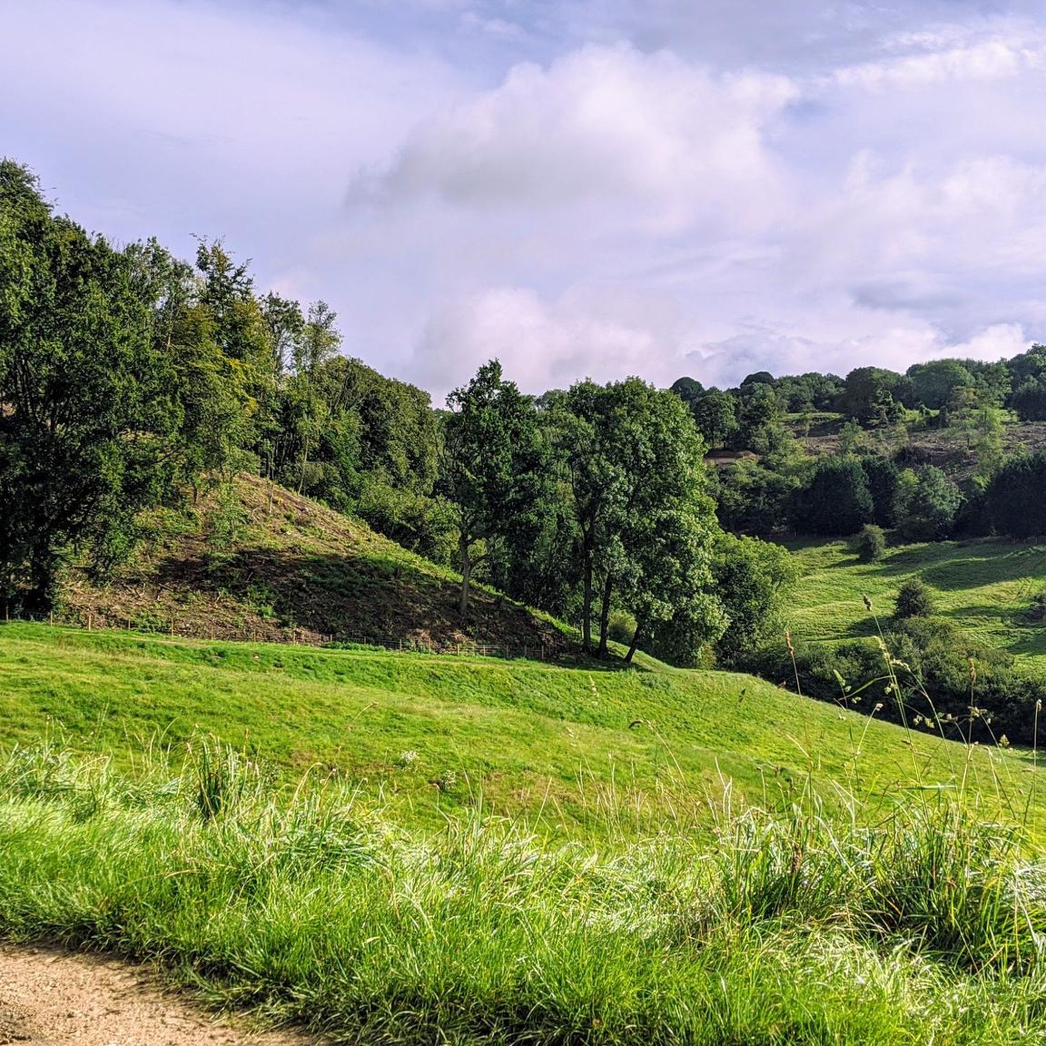
Jogging routes around Ozleworth traverse a landscape characterized by rolling hills, wooded valleys, and tranquil lakes. The region, situated in the Cotswolds, offers a mix of open countryside and sheltered woodland paths. Elevation changes are common, providing varied terrain for runners.
Best jogging routes around Ozleworth
- The most popular jogging route is Blackquarries Hill – Ozleworth Lake loop from Wotton-under-Edge, a 7.1 miles (11.5 km) trail that takes 1 hour 19 minutes to complete, featuring scenic views over hills…
Last updated: October 9, 2026
19
runners
Moderate run. Good fitness required. Mostly paved surfaces. Suitable for all skill levels.
19
runners
11.5km
01:19
200m
200m
Moderate run. Good fitness required. Mostly paved surfaces. Suitable for all skill levels.

5.0
(1)
16
runners
Moderate run. Good fitness required. Mostly paved surfaces. Suitable for all skill levels.
12
runners
6.54km
00:44
90m
90m
Moderate run. Good fitness required. Mostly paved surfaces. Suitable for all skill levels.
15
runners
5.34km
00:38
50m
50m
Moderate run. Good fitness required. Mostly paved surfaces. Suitable for all skill levels.
Get access to more routes and recommendations from other explorers.
Already have an account?
Our route recommendations are based on thousands of hikes, rides, and runs completed by other people on komoot.
Start today with a free account
Your next adventure awaits.


Tips from the Community

private property very quiet area, lovely bridle paths however have to keep dogs on lead most areas.
0
0


You can get out by pushing a button.
0
0

Ragnall Lane (Black quarries Hill), steep for around 600m with a large portion at around 20%. A tough way to access the Cotswolds from Wotton-Under-Edge
1
0

Tucked away spot in Ozleworth. I doubt you'll see anyone except other bikers. Getting here is the challenge if you haven't brought the mountain bike.
0
0

Head out of town towards Nibley to get to the farm shop - good place for lunch
0
0
The first section has some loose gravel over the road, making it hard to get traction. Then a little reprieve before the climbing actually starts. It pitches up to 10-12% until the first left hander then up again to beyond 20% through the right hand curve, finishing up the steep stuff just before the second left hand. 80-100m of climbing in around half a kilometre. The drag at the end is fine, You'll probably want to stop and take in the view like I did. I think Blackquarries has a smoother surface but this has one of the most pleasant lead outs through the valley of Ozleworth. Very narrow and a mix of good and broken tarmac.
1
0

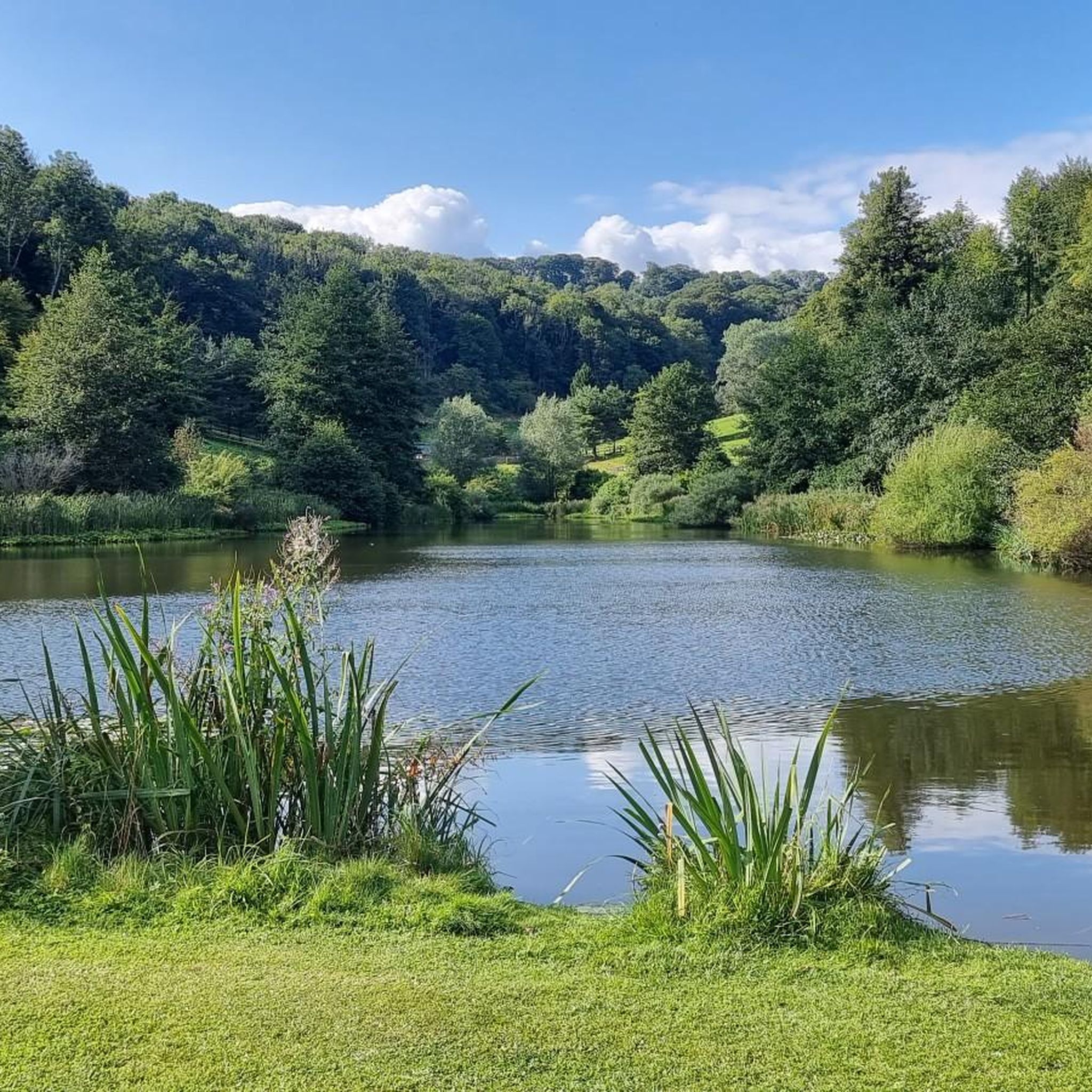
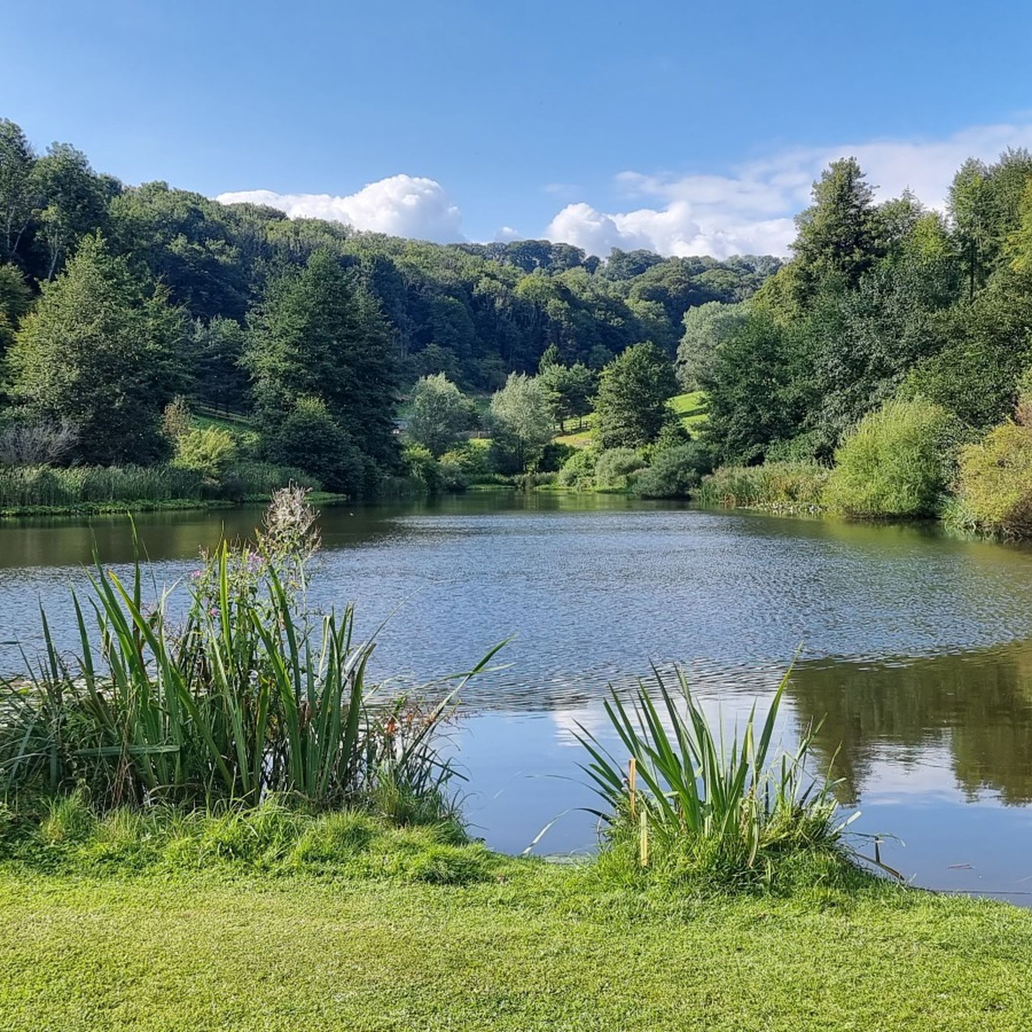
The lake is on the map - but couldn’t see it here! One map suggests “seasonal fishing lake” Maybe referring to the lake not the fishing. The second photo facing approx East, shows the valley and the track leading down from Boxwell Court (left).
0
0
Frequently Asked Questions
How many running routes are available around Ozleworth?
There are over 340 running routes in the Ozleworth area, catering to various fitness levels. This includes more than 30 easy routes, over 230 moderate routes, and around 70 challenging trails for experienced runners.
Are there easy running routes suitable for beginners in Ozleworth?
Yes, Ozleworth offers a good selection of easy running routes perfect for beginners. There are over 30 routes classified as easy, providing gentle terrain and shorter distances to help you get started. One example is the Running loop from Wotton-under-Edge, which is 3.3 miles (5.3 km) long.
What kind of terrain can I expect on the running trails in Ozleworth?
The running trails around Ozleworth traverse a diverse landscape of rolling hills, wooded valleys, and tranquil lakes, characteristic of the Cotswolds. You'll encounter a mix of open countryside and sheltered woodland paths, with common elevation changes that provide varied terrain.
Are there longer distance running trails available for experienced runners?
Absolutely. For those seeking a longer challenge, Ozleworth has numerous moderate to difficult routes. For instance, the Blackquarries Hill – Ozleworth Lake loop from Wotton-under-Edge is a popular moderate trail spanning 7.1 miles (11.5 km) with significant elevation changes.
What do other runners enjoy most about the trails in Ozleworth?
The running routes in Ozleworth are highly rated by the komoot community, with an average score of 4.6 stars from over 70 reviews. Runners often praise the scenic views over hills and lakes, the peaceful wooded valleys, and the varied terrain that keeps runs interesting.
Are there any circular running routes in the Ozleworth area?
Yes, many of the running routes in Ozleworth are circular, allowing you to start and finish at the same point. A great example is the Valley Near Boxwell Court – Lasborough Lakes and Mansion loop from Kingscote, which offers a picturesque 7.0-mile (11.4 km) circular experience.
Can I bring my dog on the running trails in Ozleworth?
Many trails in the Ozleworth countryside are dog-friendly, but it's always best to keep your dog on a lead, especially near livestock or in nature reserves. Always follow the Countryside Code and clean up after your pet.
What kind of natural attractions or landmarks can I see while running in Ozleworth?
Ozleworth's routes offer access to beautiful natural and historical sights. You might pass by serene lakes such as Middle Pond at Woodchester Park or Parkmill Pond. Historical landmarks like the William Tyndale Monument are also accessible from some trails, offering stunning viewpoints.
When is the best time of year to go running in Ozleworth?
Ozleworth is beautiful year-round. Spring brings vibrant wildflowers and lush greenery, while autumn offers stunning foliage. Summer is ideal for longer runs, and even winter can be picturesque, though some paths might be muddy. Always check local weather conditions before heading out.
Are there any running routes that pass by interesting points of interest?
Yes, several routes offer unique sights. For example, the Coombe Alpacas loop from Wotton-under-Edge provides a chance to see alpacas along the way. Other trails might lead you past historic mansions or offer panoramic views from spots like the Tresham Bridleway Climb.
Are there any running routes that are particularly scenic?
Many routes in Ozleworth are highly scenic. The Ridings Wood – Laycombe Ditch Wood loop from Wotton-under-Edge, for instance, takes you through beautiful woodlands and offers lovely views of the surrounding Cotswold landscape.
Most popular attractions around Ozleworth

Get inspired with the komoot mobile app


Explore more
Browse the best Running Trails & Routes in other regions.
