The best cycling routes around Hańcza
4.5
(113)
666
riders
16
rides
Touring cycling around Hańcza offers routes through a unique post-glacial landscape within Poland's Suwałki Landscape Park. The region features deep ribbon lakes, rolling hills, and river valleys, shaped by past glaciations. Terrain varies from paved roads to forest paths, providing diverse experiences for cyclists.
Best touring cycling routes around Hańcza
- The most popular touring cycling route is Lake Hańcza Nature Reserve – View of Lake Hańcza loop from Błaskowizna, a 9.9 miles (16.0 km) trail that takes about 1 hour 5 minutes to complete. This easy route offers views of Poland's deepest lake.
- Another top favourite among local touring cyclists is Hańcza Lake – Stańczyki Bridges loop from Błaskowizna, a moderate 22.4 miles (36.0 km) path. This route explores the lake's surroundings and extends towards the historic Stańczyki Bridges.
- Local touring cyclists also love the Lake Pogorzałek – Cyclist Rest Area Szurpiły loop from Błaskowizna, a 24.5 miles (39.4 km) trail leading through varied post-glacial terrain, often completed in about 3 hours 17 minutes.
- Touring cycling around Hańcza is defined by deep glacial lakes, rolling hills, and the scenic Czarna Hańcza river valley. The network offers options for different ability levels, from easy loops to more challenging routes with significant elevation changes.
- The routes in Hańcza are highly rated by the komoot community with an average score of 4.4 stars from over 90 reviews. More than 400 touring cyclists have used komoot to explore Hańcza's varied terrain.
Last updated: August 19, 2026
4.4
(11)
54
riders
Easy bike ride. Great for any fitness level. Mostly paved surfaces. Suitable for all skill levels.
4.5
(2)
19
riders
33.8km
02:36
190m
190m
Hard bike ride. Good fitness required. You may need to push your bike for some segments of this route.

Sign up for free
5.0
(1)
9
riders
63.3km
03:47
490m
490m
Hard bike ride. Very good fitness required. Mostly paved surfaces. Suitable for all skill levels.
5.0
(1)
1
riders
Hard bike ride. Very good fitness required. Mostly paved surfaces. Suitable for all skill levels.
5.0
(2)
12
riders
Moderate bike ride. Good fitness required. Mostly paved surfaces. Suitable for all skill levels.
Get access to more routes and recommendations from other explorers.
Sign up for free
Already have an account?
Our route recommendations are based on thousands of hikes, rides, and runs completed by other people on komoot.
Start today with a free account
Your next adventure awaits.
Login or Signup

Tips from the Community

Actually, a puzzling investment. A viewing tower in the middle of a plain, without particularly interesting views. On the other hand, built with a flourish, a nice resting spot, shelter, maps, etc.
0
0


The view of Lake Wiżajny is picturesque, offering beautiful landscapes of the Suwałki Lake District, ideal for hiking, cycling (like the route from Komoot) and kayaking, with a varied shoreline, deep water and surrounding hills.
1
0

Golubie is a former village on the edge of the Romincka Forest. Today, it's an open-air site with ruined foundations, old fruit trees, and a dilapidated obelisk commemorating its former inhabitants. The area is crisscrossed by the embankments of a former railway that encircled the forest (a route known for the bridges in Stańczyki), which now serve as dirt roads and convenient walking and cycling paths. On-site, you'll find an information board detailing the village's history, a map, and an educational trail.
3
0
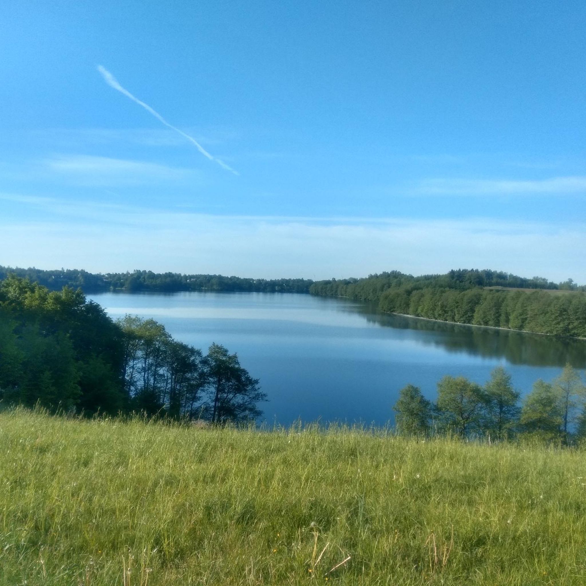
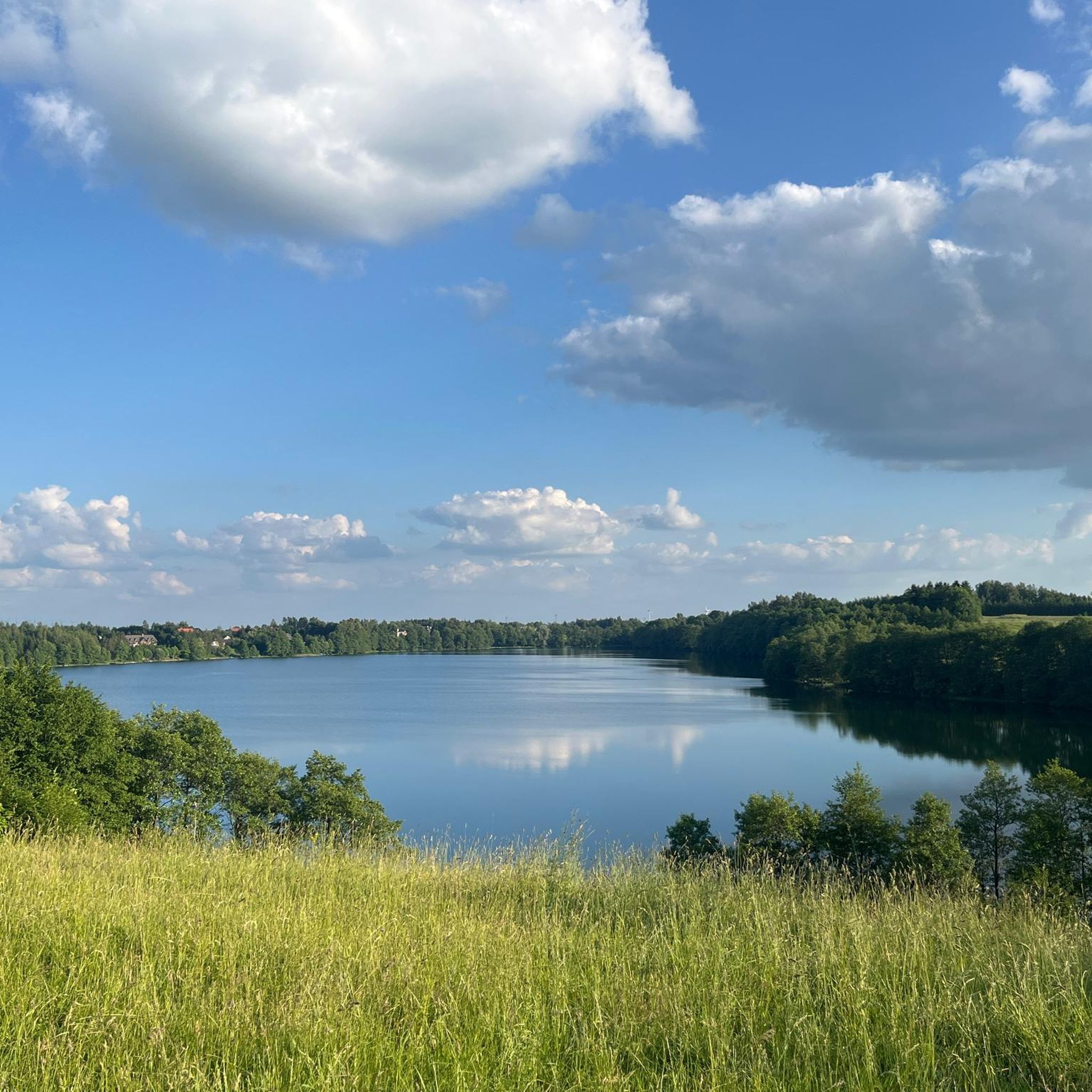
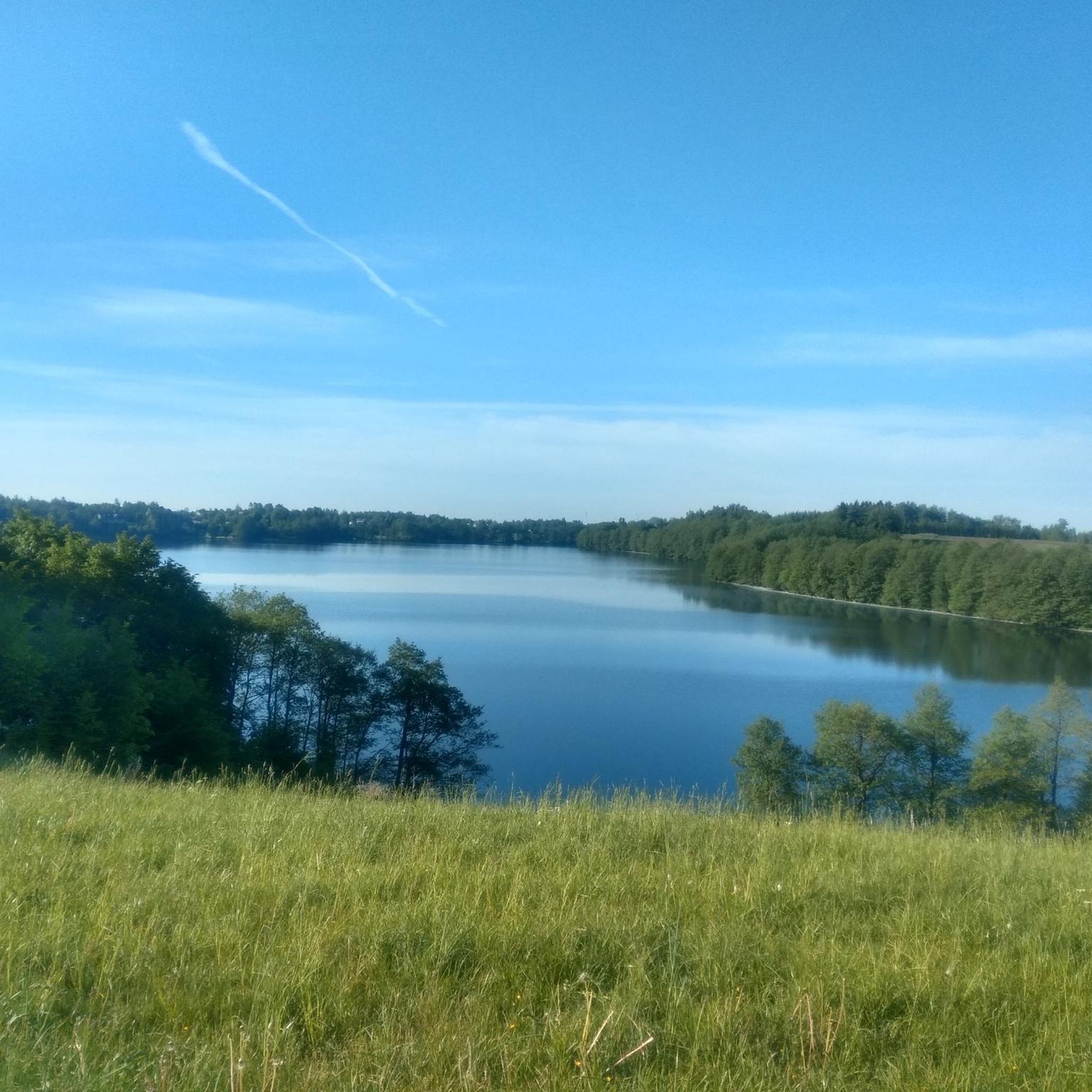
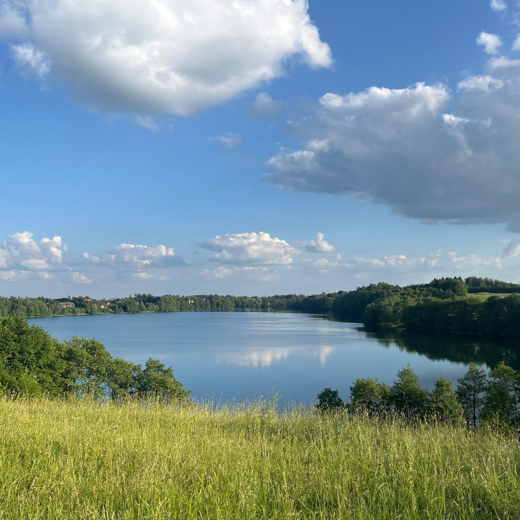
A great place to stop by Lake Hańcza. There's a beach, a pier, and plenty of room for swimming.
2
0

A very nice viewing spot.
0
0
The bridges in Stańczyki, often called the "Aqueducts of the Romincka Forest," are among the highest railway bridges in Poland – 180 meters long and reaching a height of 36.5 meters. Built between 1912 and 1918 in a style reminiscent of Roman aqueducts, they were intended to be part of a major railway line, but the line operated only as a local route until 1945. Today, the tracks no longer exist, and the impressive structures have become a tourist attraction and a bungee jumping site. Situated on the Błędzianka River and surrounded by picturesque scenery, they are a destination for bicycle tours and a good place to rest. Admission to the bridges is charged, but the view and history of the site are definitely worth a visit.
2
0
The observation tower in Pobłędzie is a great stop on a bike trip around the Romincka Forest. The wooden and steel structure with a platform at a height of 15 meters offers views of Lake Pobłędzie and a vast panorama of the forest. The tower is located on a gravel road and on the Green Velo route. Here you will find a cyclist service area with a shelter and toilet.
3
0
Frequently Asked Questions
How many touring cycling routes are available around Hańcza?
There are over 15 touring cycling routes around Hańcza, offering a variety of experiences for different skill levels. These routes explore the unique post-glacial landscape of the Suwałki Landscape Park.
What kind of terrain can I expect on the cycling routes around Hańcza?
The routes around Hańcza feature diverse terrain, including approximately 54% asphalt roads, along with forest paths, unsurfaced roads, and some sandy sections. You'll encounter undulating terrain, and some routes, particularly gravel ones, can be quite challenging with significant elevation gain.
Are there any easy touring cycling routes suitable for beginners or families?
Yes, Hańcza offers easy touring cycling routes. For instance, the Lake Hańcza Nature Reserve – View of Lake Hańcza loop from Błaskowizna is an easy 9.9-mile (16.0 km) trail that provides beautiful views of Poland's deepest lake and is suitable for those seeking a less strenuous ride.
What natural landmarks or viewpoints can I see along the cycling routes?
The region is rich in natural landmarks. You can enjoy panoramic views from places like Góra Cisowa, known as 'the Fuji of Suwalszczyzna,' or Mount Leszczynowa in Przełomka. The viewpoint 'U Pana Tadeusza' in Smolniki also offers excellent vistas of the Suwałki Landscape Park's lakes and hills. The routes often pass by the clear waters of Hańcza Lake and the scenic Czarna Hańcza River Valley.
Are there any circular touring cycling routes around Hańcza Lake?
Yes, there are circular routes that allow you to explore the area around Hańcza Lake. The Hańcza Lake – Stańczyki Bridges loop from Błaskowizna is a moderate 22.4-mile (36.0 km) path that encircles parts of the lake and extends towards the historic Stańczyki Bridges, offering varied scenery.
What is the best time of year to go touring cycling in Hańcza?
The best time for touring cycling in Hańcza is generally from spring through early autumn (May to October). During these months, the weather is most favorable, and the natural beauty of the Suwałki Landscape Park is at its peak. Always check local weather forecasts before heading out.
Are there any historical or cultural attractions to visit while cycling?
Beyond the natural beauty, you can encounter several historical and cultural sites. These include the Church of the Most Sacred Heart of Jesus in Jeleniewo, ruins of a watermill, and the early medieval castle mound in Szurpiły, known as Góra Zamkowa. Some routes, like the Lake Pogorzałek – Cyclist Rest Area Szurpiły loop from Błaskowizna, lead through areas with such points of interest.
What do other touring cyclists enjoy most about cycling in Hańcza?
The area is highly rated by the komoot community, with an average score of 4.4 stars from over 90 reviews. Reviewers often praise the unique post-glacial landscapes, the pristine natural features, and the diverse terrain that offers both scenic beauty and engaging challenges.
Is it possible to find parking near the cycling routes?
While specific parking areas are not detailed for every route, the Suwałki region is generally well-equipped for visitors. Many routes start or pass through villages like Błaskowizna, where you can typically find designated parking spots or roadside parking suitable for accessing the trails. Look for signs indicating public parking or rest areas.
Are there any amenities like cafes or rest stops along the routes?
Yes, the region is becoming increasingly cyclist-friendly. The Green Velo trail, which passes through the area, has several service points (MORs) that offer rest stops. Additionally, you can find cafes and small shops in the villages and towns scattered throughout the Suwałki Landscape Park, particularly near popular attractions and lakes.
Can I bring my dog on the cycling routes around Hańcza?
While many natural areas in Poland are dog-friendly, it's essential to keep your dog on a leash, especially within the Suwałki Landscape Park, to protect wildlife and ensure the safety of other visitors. Always carry water for your dog and be mindful of local regulations regarding pets in specific reserves or protected zones.
Are there any particularly challenging routes for experienced touring cyclists?
Yes, for experienced touring cyclists seeking a challenge, Hańcza offers several difficult routes. The Lake Hańcza Nature Reserve – WTR Trójstyk Stop loop from Błaskowizna, for example, is a difficult 39.3-mile (63.3 km) route with significant elevation changes, providing a demanding yet rewarding experience through varied landscapes.
Most popular routes around Hańcza
Most popular attractions around Hańcza

Get inspired with the komoot mobile app


Explore more
Browse the best Cycling routes in other regions.
