The best walks and hikes around Lake Rudnickie
4.5
(29)
705
hikers
100
hikes
Hiking around Lake Rudnickie offers diverse natural features and recreational opportunities within Grudziądz, Poland. The region is characterized by Lake Rudnickie Wielkie, a significant body of water spanning 177.7 hectares, largely encircled by extensive forests. These wooded perimeters provide a tranquil environment and form the basis for numerous natural trails. The landscape features gentle elevation changes, making it accessible for various hiking abilities.
Best hiking trails around Lake Rudnickie
- The most popular hiking route is Jezioro Rudnickie – Rezerwat Kuźnik loop from Rezerwat Kuźnik, a 2.5 miles (4.0 km) trail that takes 1 hour 3 minutes to complete. This easy route offers scenic views of the lake and surrounding woodlands.
- Another top favourite among local hikers is Rezerwat Kuźnik loop from Rezerwat Kuźnik, an easy 2.6 miles (4.2 km) path. This trail winds through the forested areas, providing a peaceful experience.
- Local hikers also love the Hiking loop from Rezerwat Kuźnik, a 6.6 miles (10.7 km) trail leading through extensive forests and along the clear waters, often completed in about 2 hours 48 minutes.
- Hiking around Lake Rudnickie is defined by extensive forests, clear waters, and natural trails. The network offers options for different ability levels, including easy and moderate routes.
- The routes in Lake Rudnickie are highly rated by the komoot community with an average score of 4.5 stars from more than 20 reviews. More than 600 hikers have used komoot to explore Lake Rudnickie's varied terrain.
Last updated: June 27, 2026
5.0
(5)
55
hikers
4.03km
01:04
30m
30m
Easy hike. Great for any fitness level. Easily-accessible paths. Suitable for all skill levels.
9
hikers
3.74km
00:59
30m
30m
Easy hike. Great for any fitness level. Easily-accessible paths. Suitable for all skill levels.

Sign up for free
5.0
(1)
23
hikers
10.7km
02:48
90m
90m
Moderate hike. Good fitness required. Easily-accessible paths. Suitable for all skill levels.
6
hikers
14.1km
03:38
60m
60m
Moderate hike. Good fitness required. Easily-accessible paths. Suitable for all skill levels.
9
hikers
5.33km
01:23
40m
40m
Easy hike. Great for any fitness level. Easily-accessible paths. Suitable for all skill levels.
Get access to more routes and recommendations from other explorers.
Sign up for free
Already have an account?
Our route recommendations are based on thousands of hikes, rides, and runs completed by other people on komoot.
Start today with a free account
Your next adventure awaits.
Login or Signup
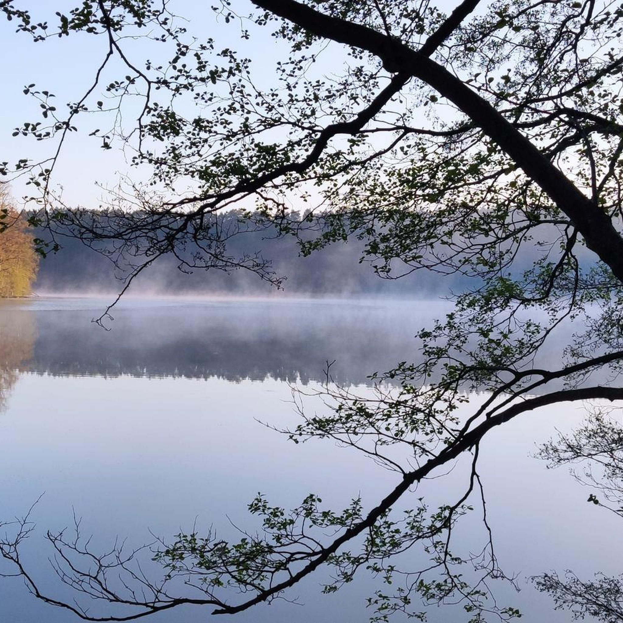
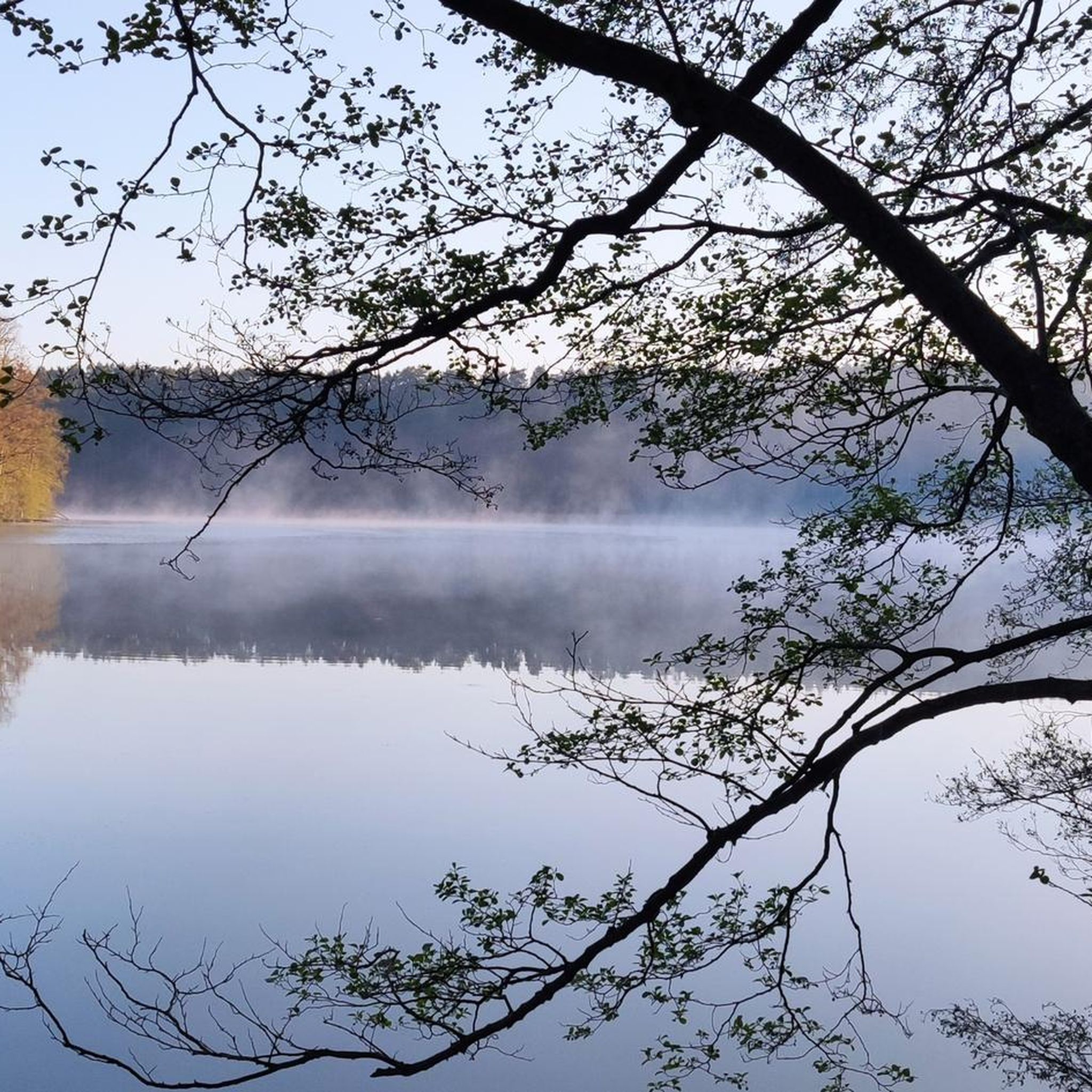
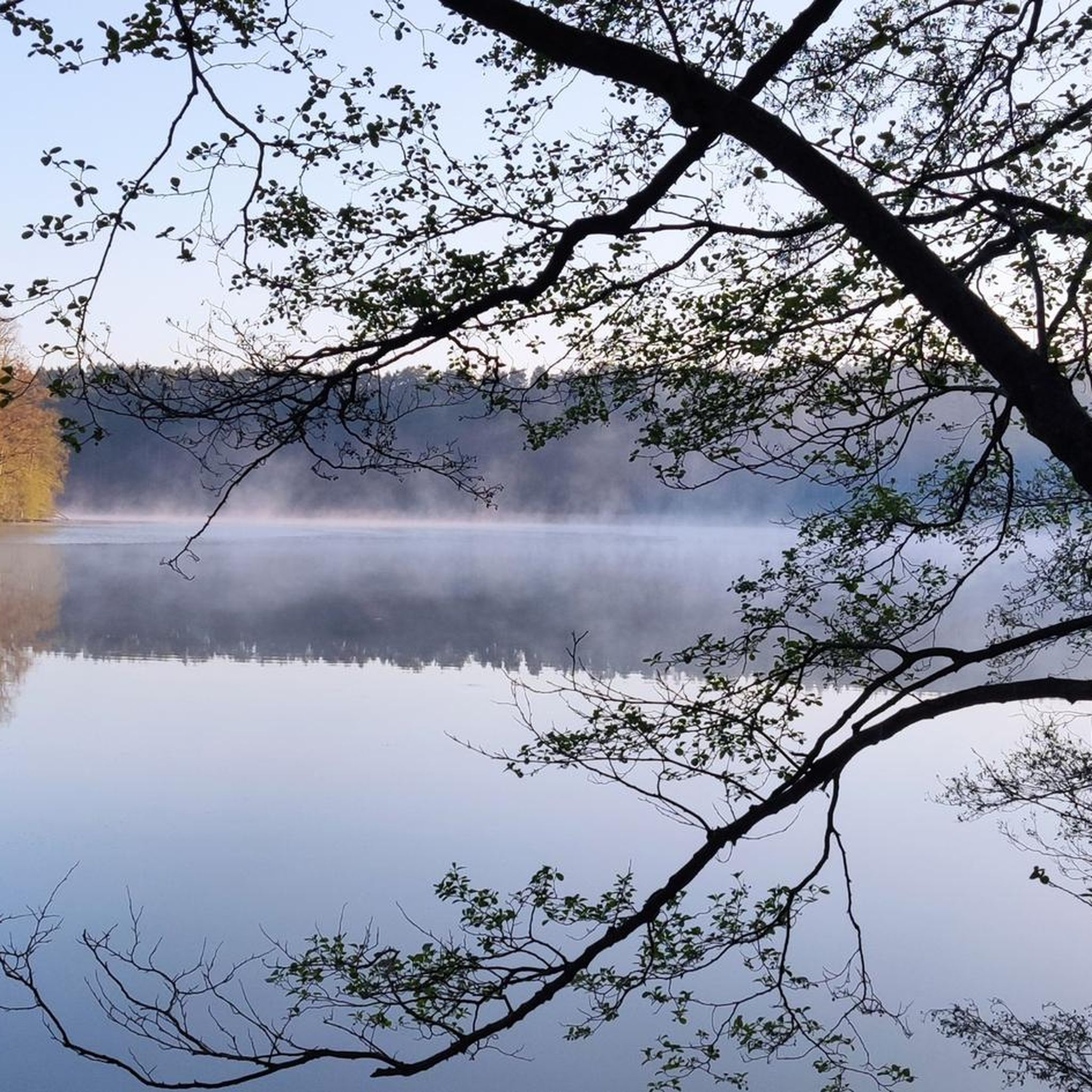

Tips from the Community

Marked on Komoot as a palace and the attraction as a castle. Meanwhile, it is the Stary Młyn in Dobrzyca near Piła, a historic water facility on the Głomią river, which functioned as a mill and currently serves as a tourist attraction. It is often associated with the nearby history of water energy on the Gwdą.
0
0

You can go up and down.
0
0

…along the Gwda River on its eastern side
0
0

You can see many species of birds (I managed to observe: a green woodpecker, a great woodpecker, a kingfisher, a wagtail), deer and beavers.
1
0
Frequently Asked Questions
How many hiking trails are available around Lake Rudnickie?
There are nearly 100 hiking routes around Lake Rudnickie, offering a wide range of options for different preferences. Most of these, about 76, are considered easy, with 21 moderate and a couple of more challenging trails.
What kind of terrain can I expect on the hiking trails?
The trails around Lake Rudnickie are primarily characterized by extensive forests encircling the lake. You'll find natural paths with gentle elevation changes, making them accessible for various hiking abilities. The landscape is generally described as pretty and tranquil.
Are there any circular hiking routes around Lake Rudnickie?
Yes, many of the trails around Lake Rudnickie are designed as loops. For instance, you could try the easy Jezioro Rudnickie – Rezerwat Kuźnik loop from Rezerwat Kuźnik, which is about 4 km long, or the slightly longer moderate Hiking loop from Rezerwat Kuźnik, covering about 10.7 km.
Are the hiking trails around Lake Rudnickie suitable for families with children?
Yes, the area is well-suited for families. The gentle elevation changes and numerous easy trails make it ideal for walks with children. The municipal beach also offers two playgrounds, and the overall environment is very recreational, providing amenities like sanitary facilities and a restaurant.
Can I bring my dog on the hiking trails?
While the region is popular for outdoor activities, specific regulations regarding dogs on trails are not detailed. However, the extensive forest paths generally offer a pleasant environment for walks with leashed dogs. Always ensure your dog is under control and respect local signage.
What is the best time of year to go hiking around Lake Rudnickie?
Lake Rudnickie is frequented by locals and tourists throughout the year. While the supervised bathing area operates from June to August, the forest trails offer beautiful scenery in spring with blooming nature, pleasant shade in summer, colorful foliage in autumn, and tranquil winter landscapes. Each season offers a unique hiking experience.
Are there any viewpoints or scenic spots along the trails?
The trails primarily offer scenic views of Lake Rudnickie Wielkie and the surrounding extensive forests. The lake itself, with its significant size and an island, provides many picturesque spots. The wooded perimeter ensures a beautiful backdrop for your exploration.
How can I get to the hiking trails using public transport?
During the summer season (June to August), the municipal beach on Lake Rudnickie Wielkie is accessible by city bus, which can also serve as a convenient starting point for many trails. For other times of the year, checking local Grudziądz public transport schedules would be advisable.
Is there parking available for hikers?
Yes, car parks are available around Lake Rudnickie, including both paved and forest options. This makes it convenient for hikers arriving by car to access the various trailheads.
What do other hikers say about the trails around Lake Rudnickie?
The hiking routes in Lake Rudnickie are highly rated by the komoot community, with an average score of 4.5 stars from over 20 reviews. Hikers often praise the tranquil environment, the scenic lake views, and the well-maintained paths through the extensive woodlands.
Are there any longer, more challenging hikes available?
While most trails are easy, there are moderate options for those seeking a longer walk. For example, the Dobrzyca - Palace loop from Rezerwat Kuźnik is a moderate 14.4 km route that takes around 3 hours and 42 minutes to complete, offering a more extended exploration of the area.
What facilities are available near the hiking trails?
The area around Lake Rudnickie is well-equipped with facilities. Near the municipal beach, you'll find a sanitary building with changing rooms, toilets, and showers, a restaurant, and a Holiday Tourist Information Point. Camping sites and a hotel are also available for accommodation.
Most popular routes around Lake Rudnickie

Get inspired with the komoot mobile app


Explore more
Browse the best Hikes in other regions.
