The best road cycling routes around Stanford Bishop
4.9
(80)
1,466
riders
110
rides
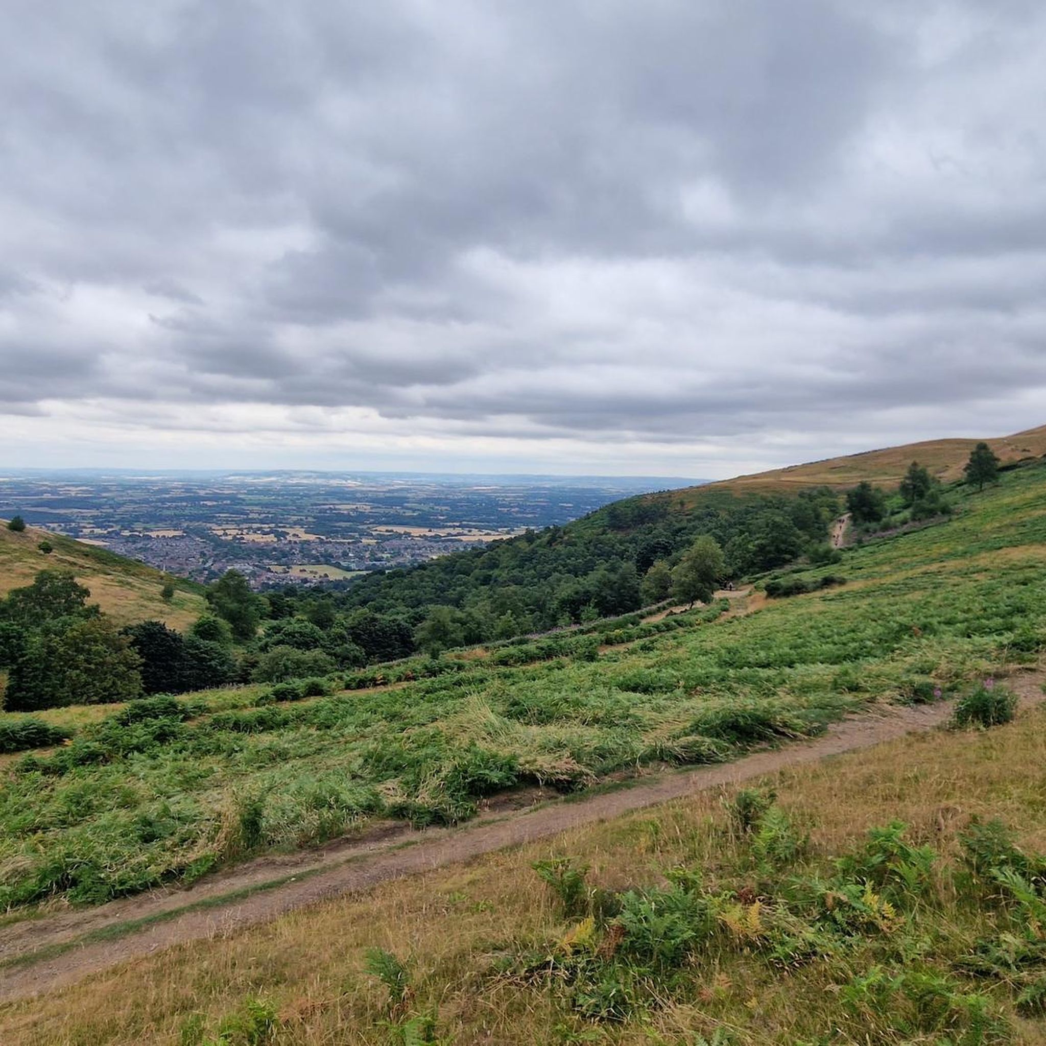
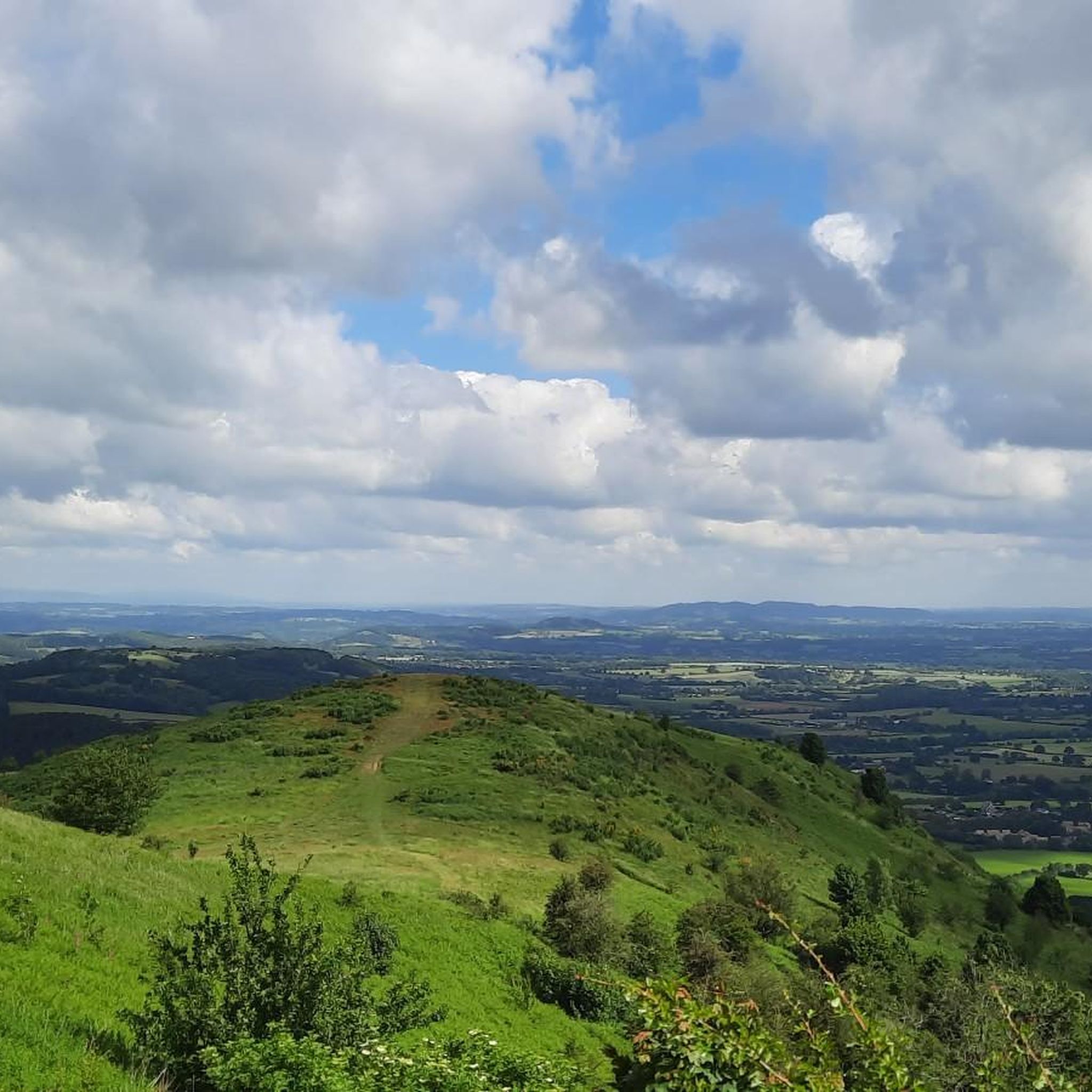
Road cycling routes around Stanford Bishop traverse a landscape characterized by rolling hills, river valleys, and agricultural plains. The region features varied terrain, including ascents towards prominent local features like the Malvern Hills and gentler routes along valley floors. This area provides diverse road cycling experiences for different ability levels.
Best road cycling routes around Stanford Bishop
- The most popular road cycling route is View of the Malvern Hills – Powick Cycle and Foot Bridge loop from Suckley, a…
Last updated: May 21, 2026
16
riders
36.4km
01:40
290m
290m
Easy road ride. Great for any fitness level. Mostly well-paved surfaces and easy to ride.
11
riders
66.5km
02:57
620m
620m
Moderate road ride. Good fitness required. Mostly well-paved surfaces and easy to ride.

Sign up for free
13
riders
42.7km
01:59
490m
490m
Moderate road ride. Good fitness required. Mostly well-paved surfaces and easy to ride.
5.0
(2)
13
riders
Moderate road ride. Good fitness required. Mostly well-paved surfaces and easy to ride.
5.0
(2)
8
riders
66.0km
03:02
780m
780m
Moderate road ride. Good fitness required. Mostly well-paved surfaces and easy to ride.
Get access to more routes and recommendations from other explorers.
Sign up for free
Already have an account?
Our route recommendations are based on thousands of hikes, rides, and runs completed by other people on komoot.
Start today with a free account
Your next adventure awaits.
Login or Signup

Tips from the Community

Still closed to all traffic in May 2026. Its been 2 years now. Diversion requires walking up to the main road and walking back (there is a path) to the new bridge.
0
0

The Leigh Brook (pronounced Lie locally), is a fine small river that drains the hills just to the north of the Malverns and flows down to meet the Teme to the west of Worcester.
0
0
This is a delightful corner of Worcestershire. It is possible to do a circular walk along the bank of the Leigh Brook, and then back up the hill and through the woodland. Very pleasant way to while away of couple of hours or more!
0
0


Lovely café with some riverside views. Literally 500 metres from Shropshire border
0
0
Little, though lovely town, on the border of Shropshire and Worcestershire counties. Very beautiful high street with some cafés
0
0
Great place to visit. Mini hidden gem near the village of Alfrick. Not suitable for road cycling and cycling as a whole. But it's definitely worth getting dismounted and having a lovely walk around.
0
0
Very well-surfaced road with hardly any holes, so nice section for a sort of fast cycling in Malvern direction
0
0
Frequently Asked Questions
What kind of terrain can I expect when road cycling around Stanford Bishop?
Road cycling routes around Stanford Bishop feature a diverse landscape of rolling hills, river valleys, and agricultural plains. You'll find routes with ascents towards prominent local features like the Malvern Hills, as well as gentler rides along valley floors. This variety caters to different ability levels, from challenging climbs to more relaxed journeys through the countryside.
How many road cycling routes are available in Stanford Bishop?
There are over 100 road cycling routes available around Stanford Bishop, offering a wide range of options for cyclists. These include routes of varying difficulty, from easy to difficult, ensuring there's something for every rider.
Are there any easy road cycling routes suitable for beginners or families?
Yes, Stanford Bishop offers several easy road cycling routes. For instance, the Powick Cycle and Foot Bridge – Powick Bridge loop from Suckley is an easy 22.8-mile path with minimal elevation gain, perfect for a relaxed ride through the local countryside.
What are some scenic viewpoints or landmarks I can see while cycling?
Many routes offer scenic views, particularly of the Malvern Hills. For example, the View of the Malvern Hills – Powick Cycle and Foot Bridge loop from Suckley provides excellent vistas. You can also explore natural monuments like the Worcestershire Beacon Summit and Toposcope, North Hill Summit, or Sugarloaf Hill, which are notable points of interest in the wider area.
What do other road cyclists enjoy most about cycling in Stanford Bishop?
The area is highly rated by the komoot community, with an average score of 4.85 stars from over 74 reviews. Cyclists often praise the varied terrain, from challenging climbs to relaxed rides, and the beautiful countryside views, particularly those of the Malvern Hills.
Are there challenging road cycling routes for experienced riders?
Absolutely. Stanford Bishop offers routes with significant elevation gain for those seeking a challenge. The Ankerdine Hill – Tough, Long, Steady Climb loop from Linton is a moderate 34.9-mile route with over 535 meters of ascent, providing a good test for experienced cyclists.
Are there any circular road cycling routes in the area?
Yes, many of the road cycling routes around Stanford Bishop are designed as loops, allowing you to start and finish in the same location. Examples include the Bromyard Countryside Views – Ledbury Market Hall loop from Bromyard, which covers 41.3 miles through varied countryside.
What is the best time of year for road cycling in Stanford Bishop?
The region's climate generally supports cycling for much of the year. While specific seasonal considerations can vary, the rolling hills and agricultural landscapes are enjoyable in milder weather. It's always advisable to check local weather forecasts before heading out, especially for winter conditions.
Where can I find cafes or pubs along the road cycling routes?
While specific cafes and pubs directly on every route are not detailed here, many routes pass through or near villages and towns like Bromyard and Suckley, where you can typically find local establishments for refreshments. Planning your route with potential stops in mind is recommended.
Is there parking available for cyclists near the routes?
Information on specific parking facilities for cyclists is not provided in detail for every route. However, starting points for many routes are often in or near towns and villages, where public parking options may be available. It's advisable to research parking at your chosen starting location beforehand.
Can I reach the road cycling routes using public transport?
While the guide focuses on the routes themselves, public transport options to reach Stanford Bishop and its surrounding areas would depend on local bus or train services. For detailed information on public transport connections, it's best to consult local transport providers for routes to towns like Bromyard or Suckley, which serve as starting points for many rides.
Most popular routes around Stanford Bishop
Most popular attractions around Stanford Bishop

Get inspired with the komoot mobile app


Explore more
Browse the best Road cycling routes in other regions.
