The 19 Most Amazing Peaks around Bishop'S Frome
Best mountain peaks around Bishop'S Frome are found in the surrounding hills of eastern Herefordshire, England. This region is characterized by its rolling countryside and prominent hills that offer extensive views. The area provides a variety of natural landscapes, from distinctive ridgelines to hills marked by ancient earthworks. These elevated points serve as popular destinations for outdoor activities.
Best mountain peaks around Bishop'S Frome
- The most popular mountain peaks is Worcestershire Beacon Summit and Toposcope, a natural monument that…
Last updated: July 7, 2026
Worcestershire Beacon Summit and Toposcope
Highlight • Natural Monument
Tip by

Herefordshire Beacon (British Camp)
Highlight • Summit
Tip by

Sign up now to discover places like this
Get recommendations on the best single tracks, peaks, & plenty of other exciting outdoor places.
Sign up for free
Summer Hill
Highlight • Lake
Tip by

Millennium Hill
Highlight • Viewpoint
Tip by

North Hill Summit
Highlight • Natural Monument
Tip by

Sign up for free to discover even more peaks around Bishop'S Frome.
Sign up for free
Already have an account?
Start today with a free account
Your next adventure awaits.
Login or Signup
Tips from the Community

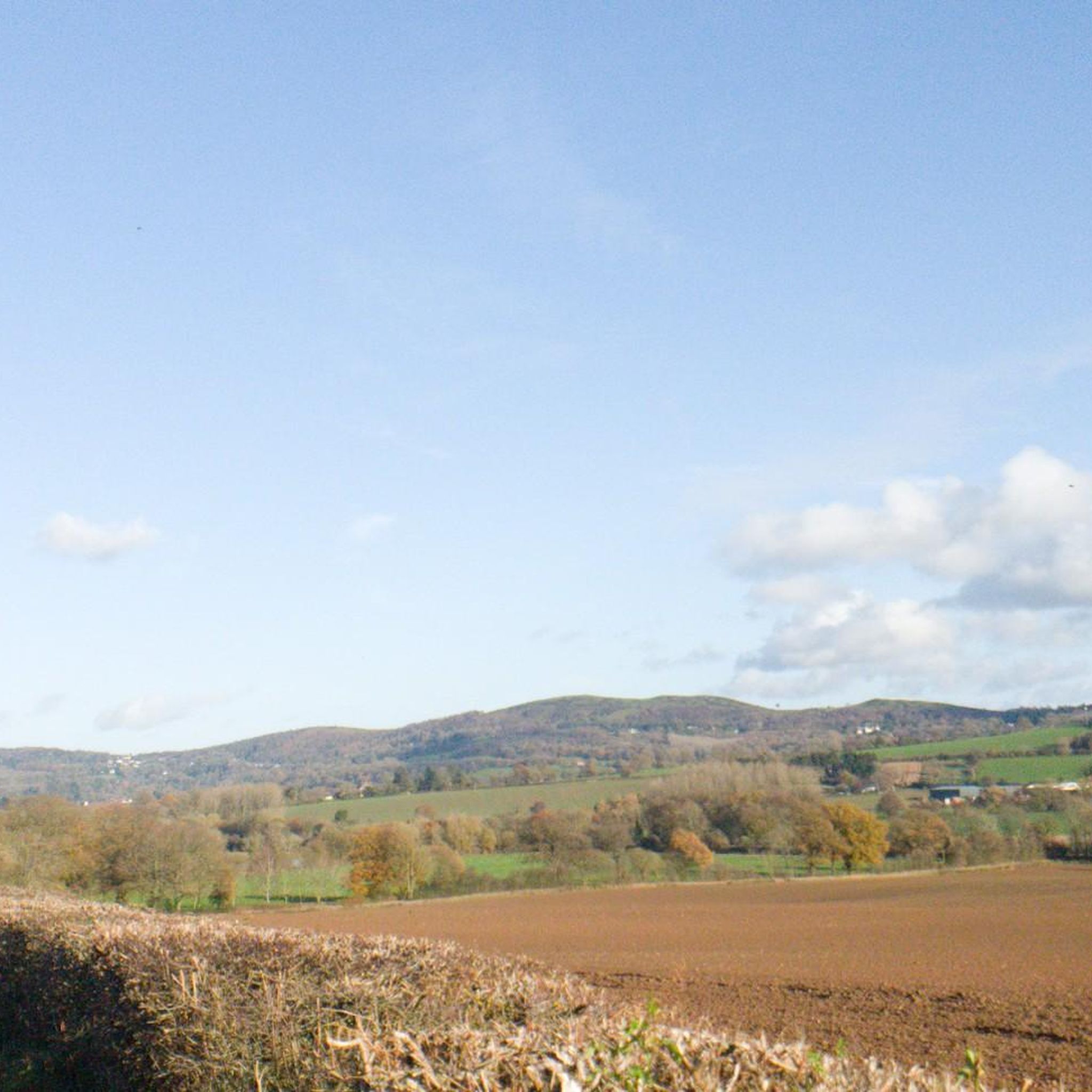
The other end of Hereford beacon, with good views of the Eastnor Estate with it's obelisk.
0
0
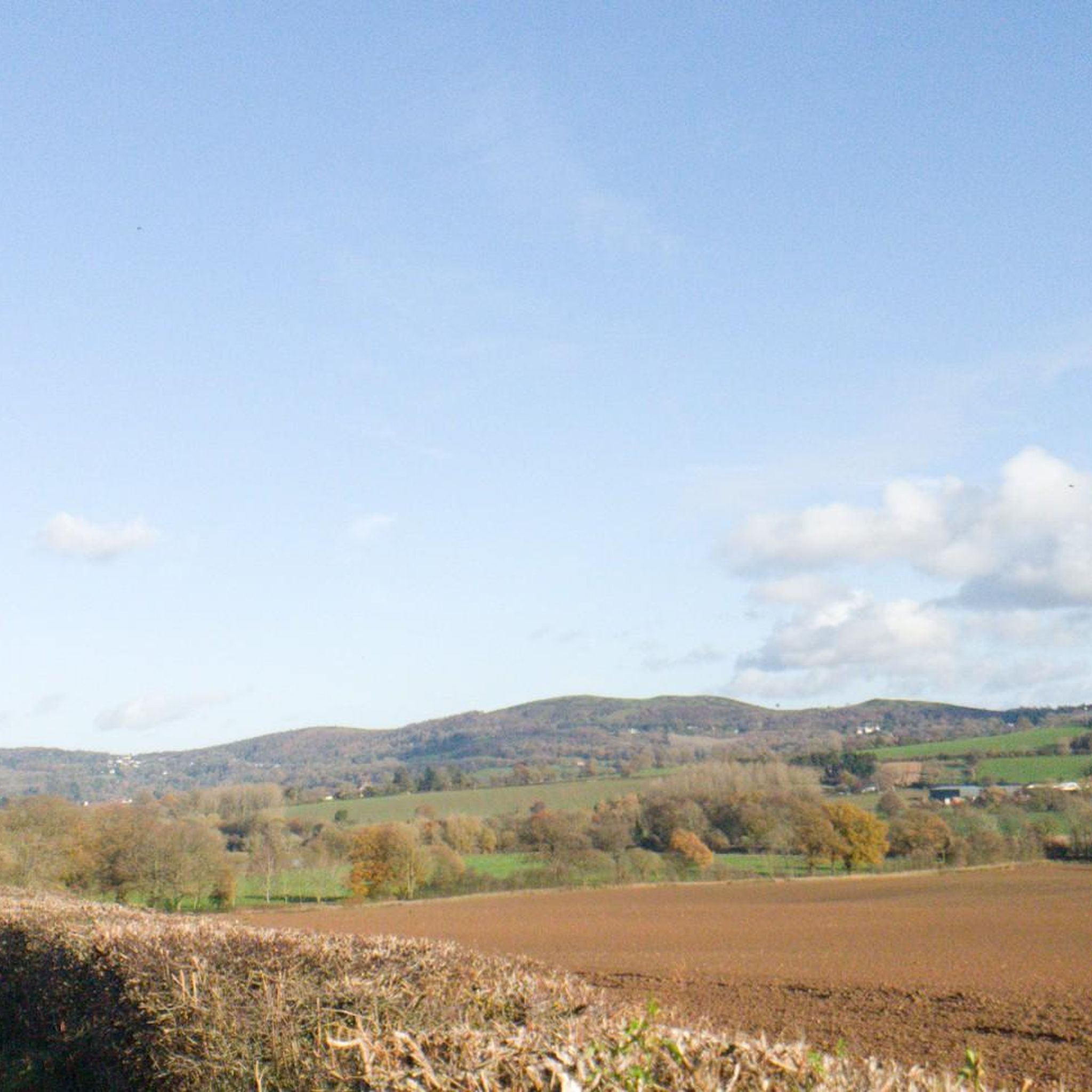
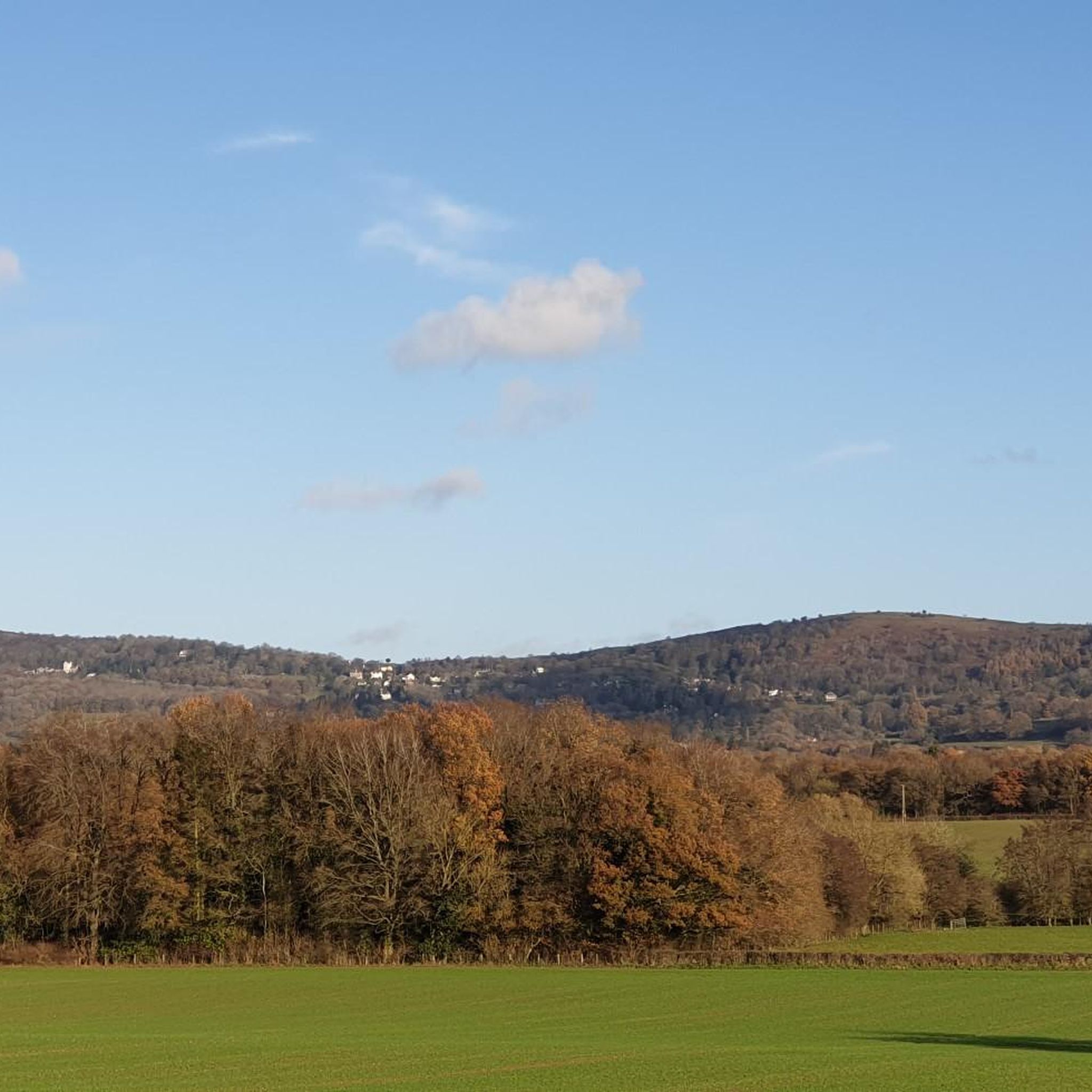
North Hill is a very good viewpoint - but this image was taken on the way up to Table Hill, which is next to North HIll.
0
0
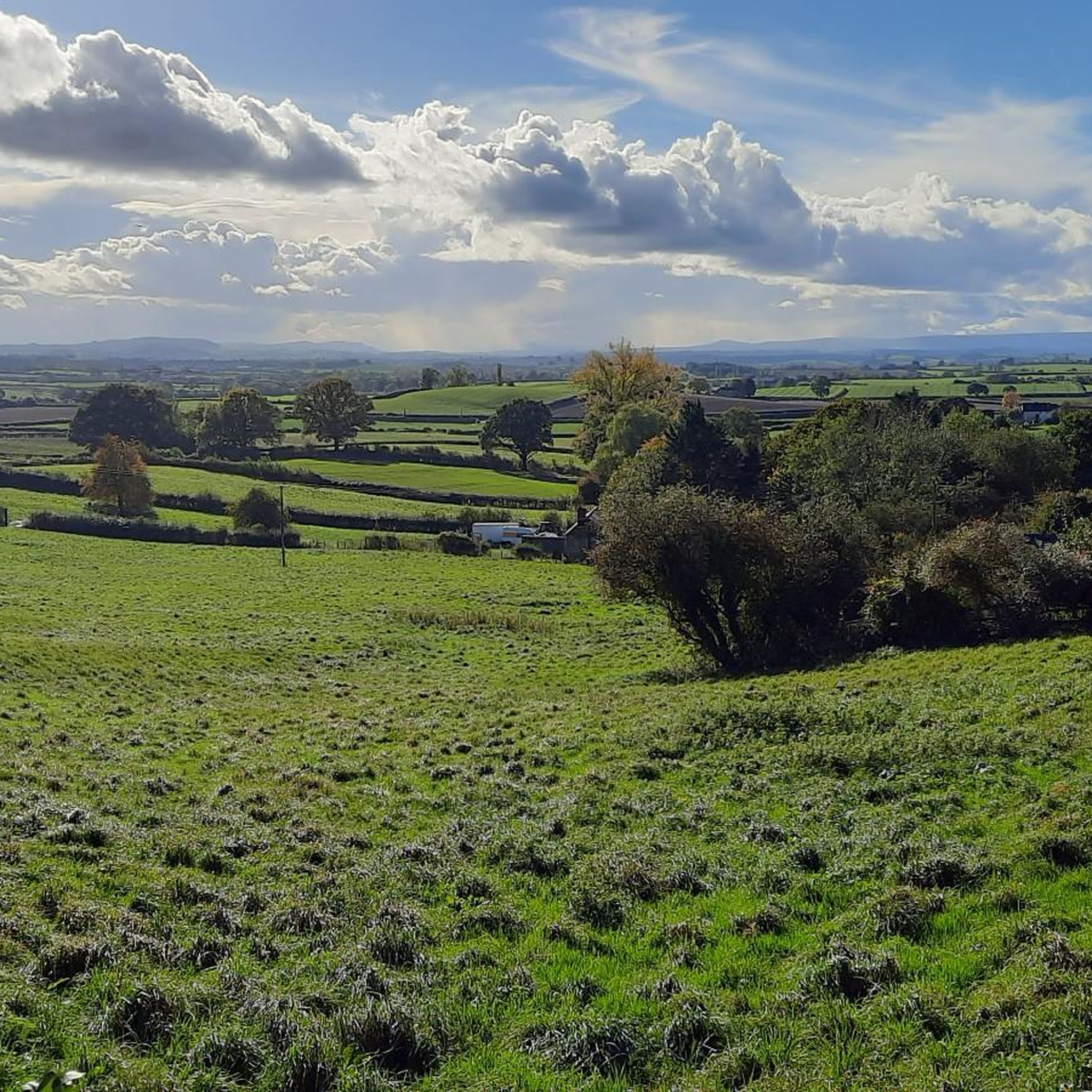
Summer Hill is a bit of a bump in between the Beacon and the Wyche Cutting, however it's steep southern aspect does afford some of the best views along the Malvern Hills ridge, particularly when there is an Inversion happening.
0
0

North Hill is the second highest point of the range of Malvern Hills that runs about 13 kilometres (8.1 mi) north-south along the Herefordshire-Worcestershire border, although North Hill lies entirely within Worcestershire. It has an elevation of 397 metres (1,302 ft), making it the highest point of the Worcestershire Way. The eastern flank of the hill lies directly behind Worcester road in Great Malvern from where its summit is a brisk 15 – 20 minutes steep walk from the town centre via St Ann's road and Happy Valley. A path from the car park in North Malvern follows the lower contour of North Hill to Happy Valley and St. Ann's Well. Although the flint route from North Wales to Wessex lay to the north of Malvern, there is some evidence to suggest that traders passed over the Malvern Hills. Parts of an arrowhead, scraper and flint flakes have been discovered between the North Hill and Table Hill. A 19th-century guide book describes both a collapsed burial mound on North Hill named the Giant's Grave and a tump on Table Hill. These tumuli may have been connected to the Dobunni settlement in Mathon. A track that runs along North Hill was known as the "Pyx Path" and was used by the priest from Worcestershire when bringing Sacrament to the hermits that lived in Malvern in the 11th Century. It was also referred to as the "Pixie Path", as it was believed to be used by fairies. The Lodge spring can be found at the foot of North Hill, off Worcester road. The ornamental fountain has a small spout and basin that is similar in design to those at St Ann's Well.
1
0
The hill lies to the south of the Worcestershire Beacon, which is Worcestershire's (and the Malvern Hills') highest hill, and Summer Hill's summit, though often overlooked given the grandeur of its neighbour, is a most respectable 1,253 feet above sea level. Source: Wikishire
0
0
The Herefordshire Beacon is one of the highest peaks of the Malvern Hills. It is surrounded by a British Iron Age hill fort earthwork known as British Camp. The fort subsequently had a ringwork and bailey castle built inside its boundary and there is evidence of 120 huts in the area. British Camp has been a scheduled monument since 1923. On the eastern slope of Herefordshire Beacon, there is a disused reservoir, British Camp Reservoir, which holds approximately 213,000 cubic metres (7,500,000 cu ft) of water. Herefordshire Beacon represents one of the Malvern Hills, 1,109 feet (338 m) high, and is the second highest summit in the hills. It is within the county of Herefordshire, but is directly adjacent to the border with Worcestershire to the east. Atop Herefordshire Beacon, there is an Iron Age hill fort, known as British Camp, and would have held a settlement between 4th century BCE and 1st century CE. A ringwork and bailey castle was built within the site of the hill fort, and there is evidence of 120 huts having been built within the boundaries of the fort. The hill fort received scheduled monument status on 10 August 1923. Nearby to British Camp, on the eastern slope of Herefordshire Beacon, there is a reservoir called British Camp Reservoir. It has a capacity of 213,000 cubic metres (7,500,000 cu ft), although it has not been used for many years. In 2017, Severn Trent proposed to dismantle the treatment plant associated with the reservoir and drain it, leaving an 8,000 cubic metres (280,000 cu ft) pond. source: Wikipedia
0
0

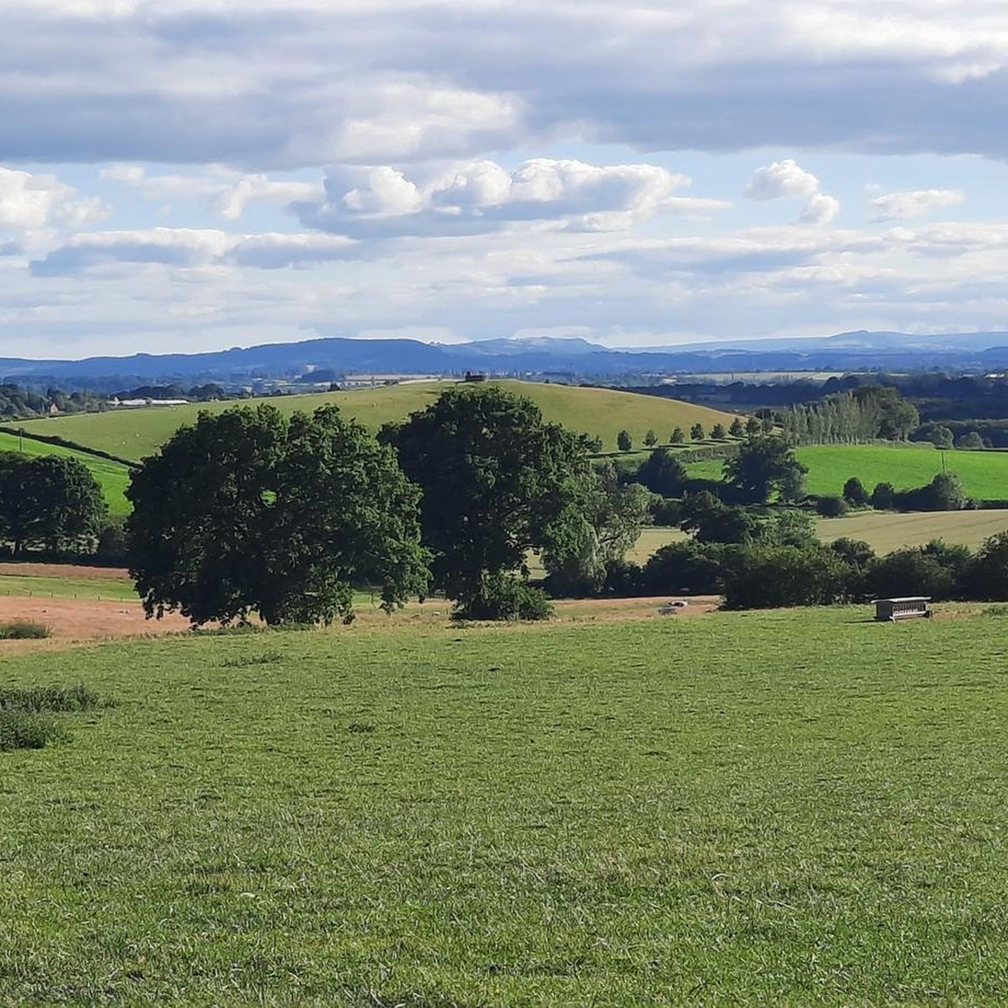
go during the week to miss the many people that walk these hills
0
0

Frequently Asked Questions
What are the most popular mountain peaks around Bishop's Frome?
The most popular peaks in the area are primarily found within the Malvern Hills. These include Worcestershire Beacon Summit and Toposcope, the highest point in the Malverns, offering grand 360-degree views. Other well-regarded spots are Jubilee Hill and Millennium Hill, both offering excellent viewpoints along the Malvern Hills ridge.
Which peaks offer the best panoramic views near Bishop's Frome?
For exceptional panoramic views, Worcestershire Beacon Summit is unparalleled, with clear-day visibility stretching to the Black Mountains in South Wales, the Shropshire Hills, and the River Severn. North Hill Summit also provides glorious vistas, including the Black Mountains and Worcestershire Beacon itself. Further afield, May Hill and Garway Hill are known for their extensive 360-degree views across multiple counties and into Wales.
Are there any historical or archaeological sites on these peaks?
Yes, several peaks boast significant historical and archaeological interest. The Herefordshire Beacon, part of the Malvern Hills, features an impressive Iron Age hill fort known as British Camp. Millennium Hill is effectively a subsidiary top of the Herefordshire Beacon, with the earthworks of British Camp stretching around its summit. May Hill also has a circular trench believed to be an Iron Age earthwork and a possible round barrow at its summit.
What unique natural features can I find on the peaks near Bishop's Frome?
The Malvern Hills are formed from some of England's oldest rocks, dating back 680 million years, and are famous for natural mineral springs. May Hill is distinctive for its iconic clump of Corsican pines planted on its summit. Garway Hill is notable for its rich biodiversity, with wild ponies and sheep grazing freely on its common, and wide expanses of bracken, gorse, and short turf.
Are there family-friendly mountain walks near Bishop's Frome?
Many of the paths on the Malvern Hills are suitable for families, offering varied terrain and stunning views without being overly strenuous. Garway Hill is considered an 'easy peak' with accessible walks across wide expanses of soft grass, making it an excellent spot for a family picnic and enjoying the scenery. Always check specific route details for suitability with younger children or pushchairs.
What kind of hiking trails can I expect on the peaks?
The region offers a diverse network of paths. The Malvern Hills provide a mix of easy walks along the spine, brisk steep climbs like the one to North Hill Summit from Great Malvern, and more challenging routes. May Hill is part of the Gloucestershire Way and Wysis Way, offering popular walking paths. Garway Hill features accessible walks with wide, soft grassy areas.
Can I go cycling or mountain biking near these peaks?
Yes, the area around Bishop's Frome offers various cycling opportunities. For mountain biking, you can explore trails like the 'Malvern Hills Long MTB loop' or the 'St Ann's Well & Café – Worcestershire Beacon loop'. Road cyclists can enjoy routes such as 'View of Worcestershire Beacon – Wych Cutting View loop'. You can find more details on these activities in the MTB Trails around Bishop'S Frome, Cycling around Bishop'S Frome, and Road Cycling Routes around Bishop'S Frome guides.
When is the best time to hike the peaks around Bishop's Frome?
The peaks are enjoyable year-round, but spring and autumn often offer the most pleasant hiking conditions with mild temperatures and beautiful scenery. Spring brings wildflowers, while autumn showcases vibrant foliage. Summer is also popular, though trails can be busier. Always check weather conditions before heading out, especially in winter when paths can be slippery.
What is special about May Hill?
May Hill is a distinctive landmark easily recognized by the clump of Corsican pines on its summit, planted to commemorate Queen Victoria's Golden Jubilee. At 296 meters, it offers extensive panoramic views of up to 12 counties, including the Welsh borders and the River Severn. It also holds historical interest with Iron Age earthworks and is a Site of Special Scientific Interest.
What can I expect when visiting Garway Hill?
Garway Hill, rising to nearly 1,200 ft (366 meters), is known for its accessible walks and heartwarming 360-degree views across the Malverns, Black Mountains, and even the Bristol Channel into Wales. It's a haven for nature lovers, with wild ponies and sheep grazing freely, and diverse bird habitats. It's an excellent spot for a picnic and enjoying the wide-open scenery.
Are there any peaks with unique naming histories?
Yes, within the Malvern Hills, Jubilee Hill was named in 2002 to honor Queen Elizabeth II's Golden Jubilee. Similarly, Millennium Hill was named in 2000 to celebrate the beginning of the Third Millennium. These names reflect recent historical events and add a unique layer to the landscape.
Where can I find cafes or refreshments near the mountain trails?
The town of Great Malvern, located at the foot of the Malvern Hills, offers numerous cafes and refreshment options. For example, the path from Great Malvern to North Hill Summit passes close to St Ann's Well, which has a cafe. Many villages and towns surrounding the other peaks also provide local pubs and cafes for hikers.
Most popular attractions around Bishop'S Frome

Get inspired with the komoot mobile app


Explore more
See even more amazing summits around Bishop'S Frome with these guides:
