The best walks and hikes around Bundenthal
4.5
(446)
1,540
hikers
48
hikes
Hiking around Bundenthal offers access to the unique geological formations of the Dahner Felsenland in Rhineland-Palatinate, Germany. The region is characterized by impressive red sandstone rock formations and the dense Palatinate Forest, providing a diverse natural backdrop for outdoor activities. An extensive network of trails leads through these landscapes, offering varied terrain for hikers. The area features romantic valleys and numerous scenic viewpoints.
Best hiking trails around Bundenthal
- The most popular hiking route is Fladensteine Rock Formations – Jüngstbergkanzel Viewpoint…
Last updated: October 7, 2026
4.7
(66)
236
hikers
Hard hike. Very good fitness required. Mostly accessible paths. Sure-footedness required.
4.9
(35)
100
hikers
Moderate hike. Good fitness required. Mostly accessible paths. Sure-footedness required.

4.7
(32)
110
hikers
17.7km
05:23
530m
530m
Hard hike. Very good fitness required. Mostly accessible paths. Sure-footedness required.
4.5
(21)
83
hikers
Easy hike. Great for any fitness level. Easily-accessible paths. Suitable for all skill levels.
4.5
(21)
65
hikers
Moderate hike. Good fitness required. Easily-accessible paths. Suitable for all skill levels.
Get access to more routes and recommendations from other explorers.
Already have an account?
Our route recommendations are based on thousands of hikes, rides, and runs completed by other people on komoot.
Start today with a free account
Your next adventure awaits.
Popular around Bundenthal
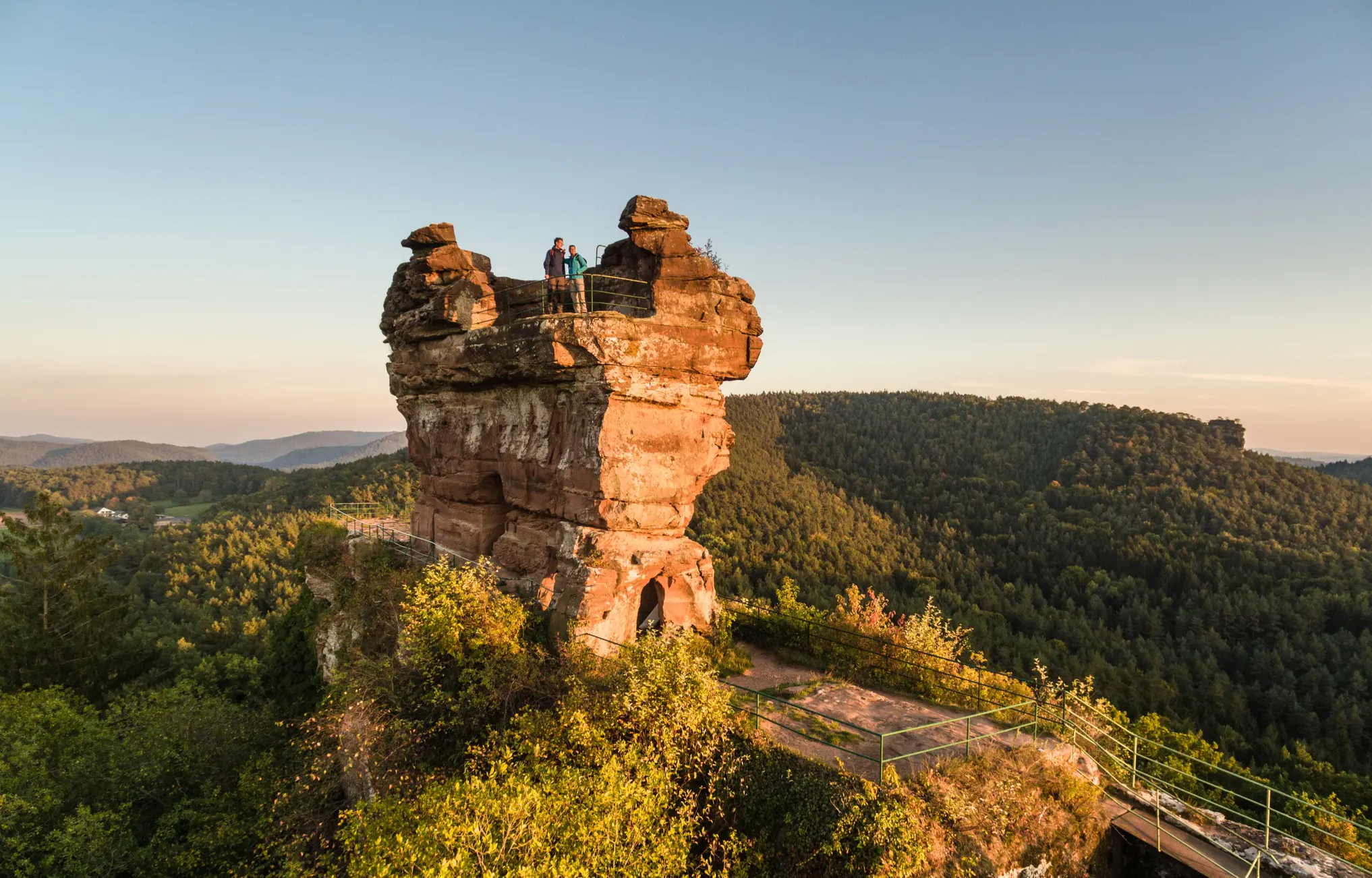
Wonderfully devilish tales – Germany’s Felsenland Legend Trail

There is no off-season — Germany's low mountain ranges
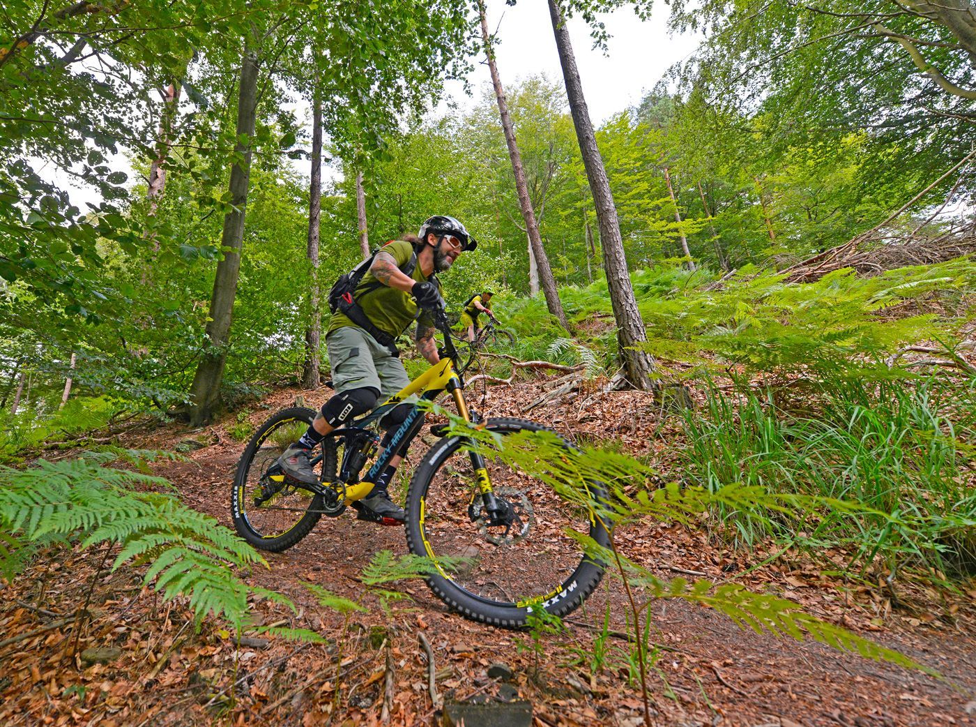
Offizielle Mountainbiketouren im Wasgau
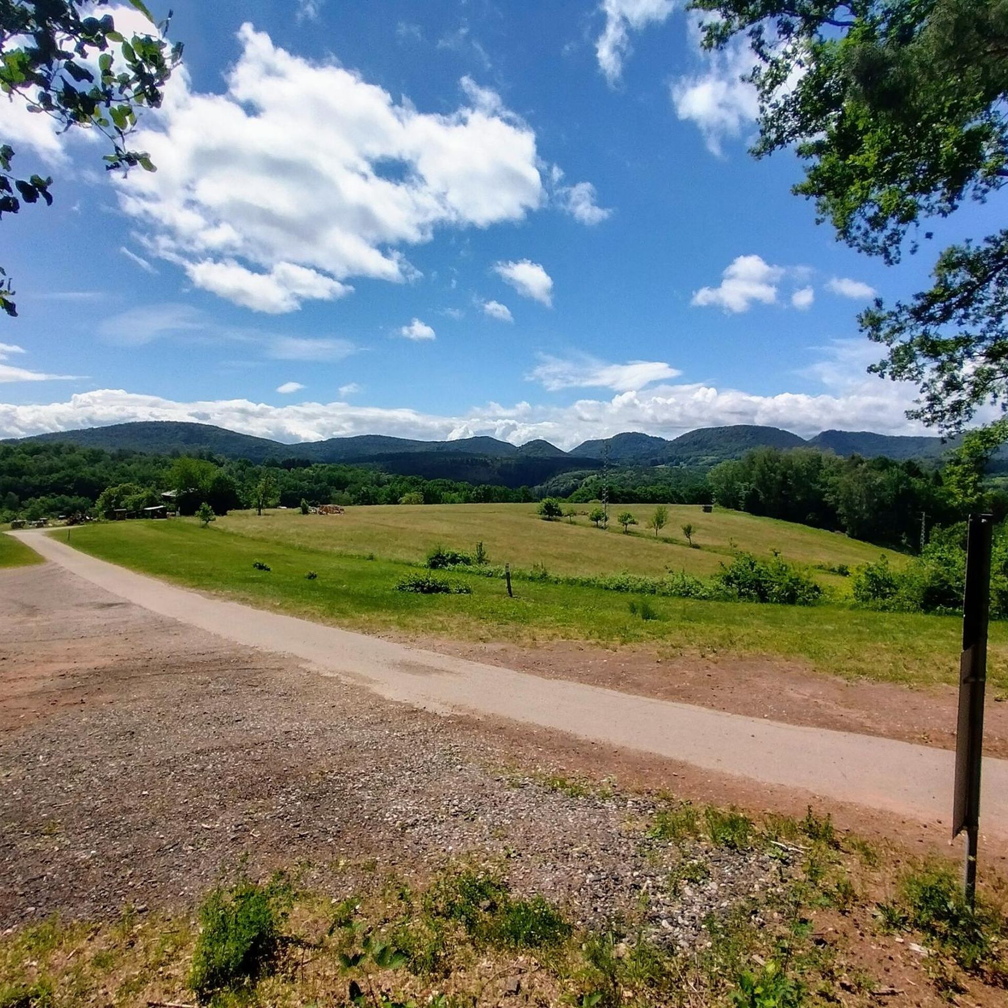
Cycling around Bundenthal
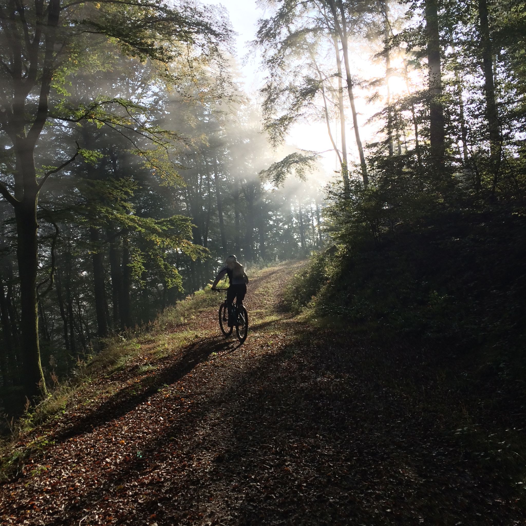
MTB Trails around Bundenthal
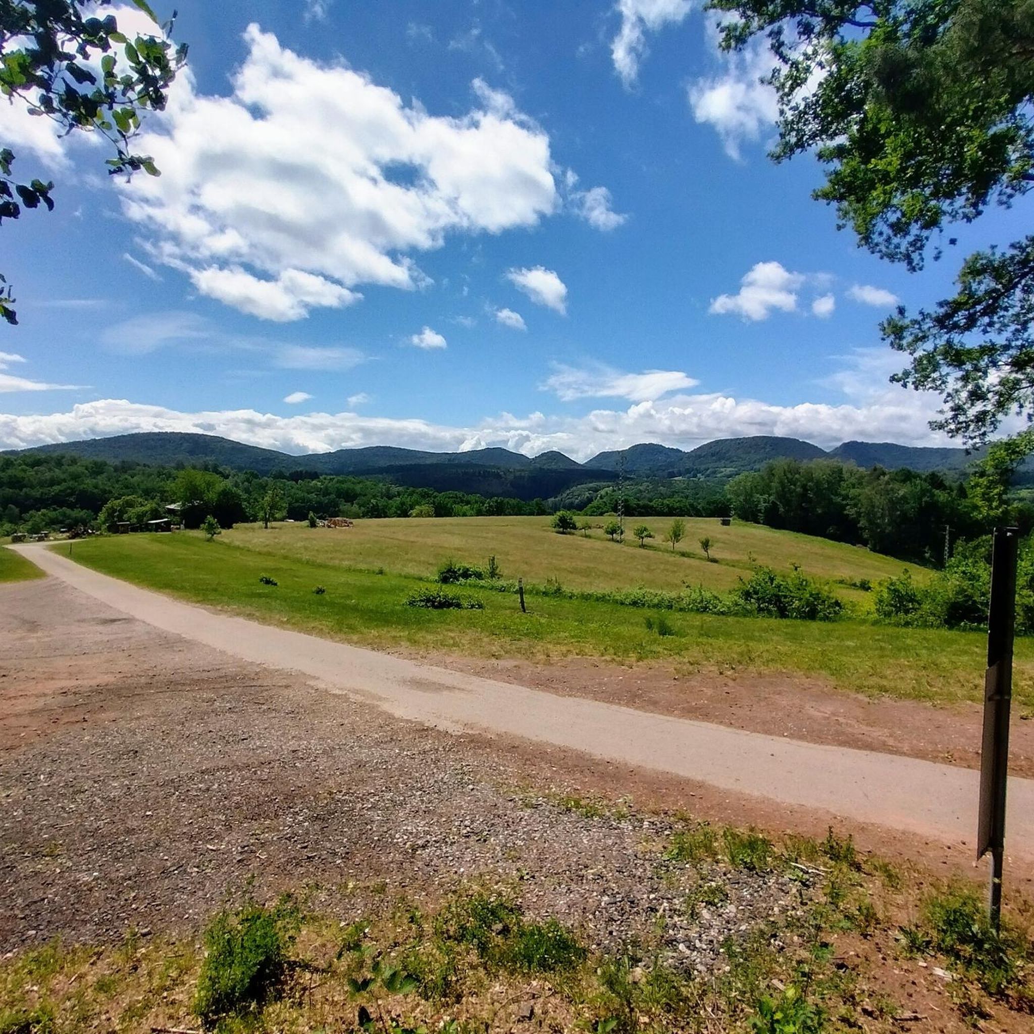
Road Cycling Routes around Bundenthal
Mountain Hikes around Bundenthal
Gravel biking around Bundenthal
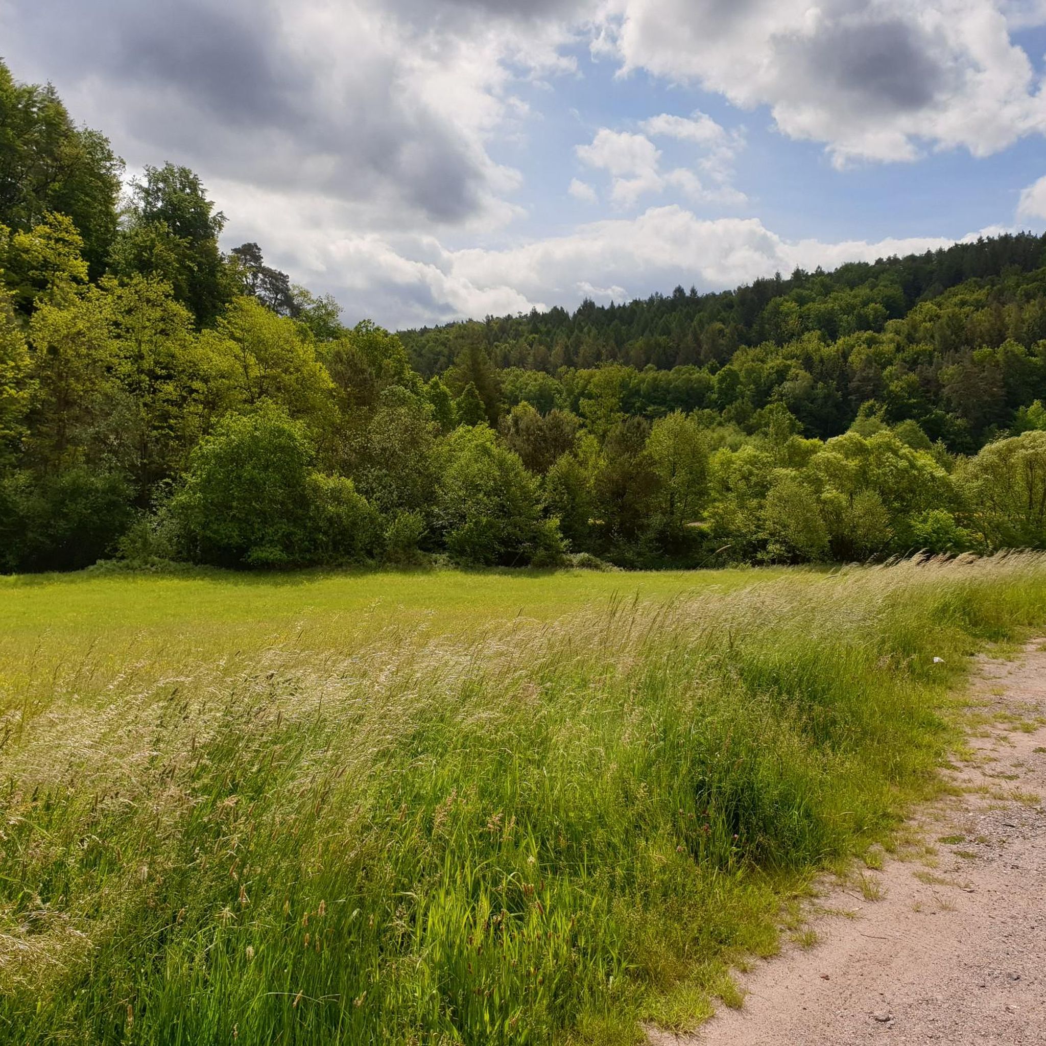
Running Trails around Bundenthal
Other adventures around Bundenthal


Tips from the Community

a great view and a picture of what awaits you when you are at the top
0
0

Crossroads where several hiking trails meet and, for example, paths to the Château de Hohenbourg or Château de Fleckenstein lead over a rocky path.
4
0
Several historical border stones on the green border between Germany and France.
5
0
Tower-shaped rock formation just before the border between Germany and France.
6
0
A few meters from the hiking trail is this striking, smaller rock formation.
6
0
The Church of St. Peter and Paul is located in the center of Bundenthal. Its medieval cemetery fortification wall dominates the townscape. The wall itself was built from sandstone, probably the most common type of stone in the Dahn Valley. The church itself sits atop the fortified plateau, providing a magnificent viewing platform over Bundenthal. Unfortunately, exact dates for its construction are unknown, but popular belief suggests it was built more than 250 years ago.
6
0
A narrow, high-altitude trail on the way to Buchkammerfels. Several spots offer magnificent views of the surrounding, gently rolling forest landscape.
7
1
Impressive rock that can be reached via a zigzag hiking trail and is located on the Busenberger Holzschuhpfad.
7
0
Frequently Asked Questions
How many hiking trails are available around Bundenthal?
Bundenthal offers a comprehensive network of over 45 hiking trails. These routes cater to various preferences, from leisurely walks to more challenging treks through the unique red sandstone landscape and dense Palatinate Forest.
What kind of terrain can I expect on hikes in Bundenthal?
Hikers in Bundenthal will encounter diverse terrain, primarily characterized by impressive red sandstone rock formations and the lush Palatinate Forest. Trails range from gentle paths suitable for families to more rugged sections with elevation changes, offering varied experiences across the region's unique geology.
Are there options for different hiking skill levels in Bundenthal?
Yes, Bundenthal provides hiking options for all skill levels. You'll find over 20 easy routes perfect for beginners or casual strolls, around 18 moderate trails for those seeking a bit more challenge, and a few difficult paths for experienced hikers looking for demanding treks.
What natural landmarks and viewpoints can I discover while hiking in Bundenthal?
The region is rich in natural landmarks and stunning viewpoints. You can explore towering red sandstone formations like the Jüngstberg, Schlüsselfelsen, Fladensteine, and the Ungeheuer Rock. Many trails lead to panoramic outlooks, such as the Jüngstbergkanzel, or offer views from peaks like Hühnerstein Summit and Schlüsselfels Summit on Heidenberg.
Are there any historical sites or attractions along the trails?
Yes, several trails incorporate historical sites. A notable highlight is the Drachenfels castle ruins, which can be explored along routes like the certified premium hiking trail "Bärensteig." You might also encounter unique points of interest such as the Jagdhütte under the Jüngstberg.
Are there family-friendly hiking options in Bundenthal?
Bundenthal offers several family-friendly trails, including leisurely walks that are well-suited for all ages. These paths often lead through scenic forest areas and past interesting rock formations, providing an engaging experience for children without being overly strenuous. An example of an easy route is the Fladensteine Rock Formations – Fladensteine Rock Formation loop from Bundenthal.
Can I bring my dog on the hiking trails in Bundenthal?
Generally, dogs are welcome on the hiking trails in Bundenthal. The extensive network through the Palatinate Forest and past rock formations provides plenty of opportunities for you and your canine companion to explore. It's always advisable to keep dogs on a leash, especially in nature reserves or near wildlife.
Are there circular hiking routes available in Bundenthal?
Yes, Bundenthal is well-known for its numerous circular hiking routes, including certified premium trails. These loops allow you to start and end your hike at the same point, making planning convenient. Many of the popular routes, such as the Fladensteine Rock Formations – Jüngstbergkanzel Viewpoint loop, are circular.
What is the best time of year to go hiking in Bundenthal?
The best time to hike in Bundenthal is typically from spring through autumn. During these seasons, the weather is generally pleasant, and the Palatinate Forest is vibrant with foliage. Spring brings blooming nature, while autumn offers spectacular colors. Winter hiking is also possible, though conditions may vary, and some paths could be icy.
Are there any lakes or water features to see near the hiking trails?
While the region is known for its rock formations, there are also beautiful lakes and ponds nearby. You can find highlights such as Paddelweiher Hut at Paddelweiher, Seehofweiher, and the Moosbach Valley Ponds, which can be lovely spots to visit after a hike.
What do other hikers enjoy most about hiking in Bundenthal?
The hiking experience in Bundenthal is highly rated by the komoot community, with an average score of 4.5 stars from over 300 reviews. Hikers frequently praise the impressive red sandstone rock formations, the well-maintained and clearly signposted trails, and the diverse landscapes of the Palatinate Forest that offer stunning panoramic views.
Are there any longer, more challenging hikes for experienced trekkers?
Yes, for experienced trekkers, Bundenthal offers more demanding routes. An example is the Fladensteine Rock Formations – Sprinzelfelsen loop, a difficult 18.1-mile (29.1 km) path that explores more of the region's prominent rock formations and dense forest, requiring a good level of fitness.
Most popular routes around Bundenthal
Most popular attractions around Bundenthal

Get inspired with the komoot mobile app


Explore more
Browse the best Hikes in other regions.
