The best running trails around Ullingswick
4.0
(7)
261
runners
30
runs
Jogging around Ullingswick offers access to the varied landscapes of the Herefordshire countryside. The region is characterized by undulating gorse, grassland, and woodland, providing diverse terrain for runners. Nearby areas feature orchards, parkland, and open spaces, with some routes following quiet rural roads. This setting provides a mix of gentle paths and more challenging inclines for running.
Best jogging routes around Ullingswick
- The most popular jogging route is View of Worcestershire Beacon – Rural Road to Bodenham Lake loop from…
Last updated: August 15, 2026
6
runners
Hard run. Very good fitness required. Mostly paved surfaces. Suitable for all skill levels.
6
runners
6.89km
00:43
40m
40m
Moderate run. Good fitness required. Mostly paved surfaces. Suitable for all skill levels.

Sign up for free
5
runners
5.14km
00:32
20m
20m
Moderate run. Good fitness required. Mostly paved surfaces. Suitable for all skill levels.
5
runners
Moderate run. Good fitness required. Mostly paved surfaces. Suitable for all skill levels.
3
runners
6.09km
00:38
50m
50m
Moderate run. Good fitness required. Mostly paved surfaces. Suitable for all skill levels.
Get access to more routes and recommendations from other explorers.
Sign up for free
Already have an account?
Our route recommendations are based on thousands of hikes, rides, and runs completed by other people on komoot.
Start today with a free account
Your next adventure awaits.
Login or Signup
Popular around Ullingswick

Tips from the Community


When you need coffee. Costa on petrol station
0
0

Short but sharp gradient. Only 25m bottom to top but double-figure steep.
0
0
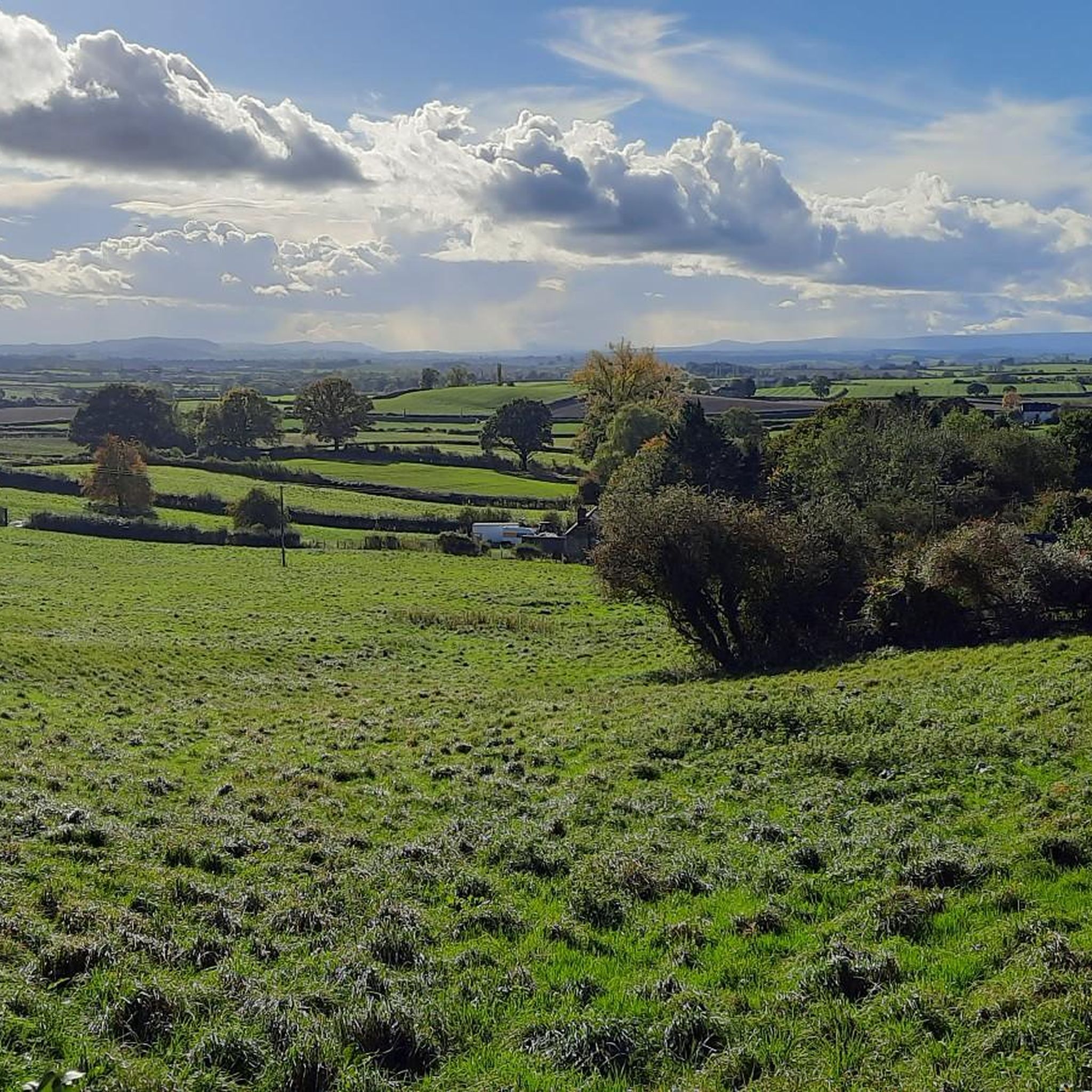
Fantastic views eastwards across to the range of the Malvern Hills and the summit of the Beacon.
0
0
Flat but the surface is no better than average.
0
0
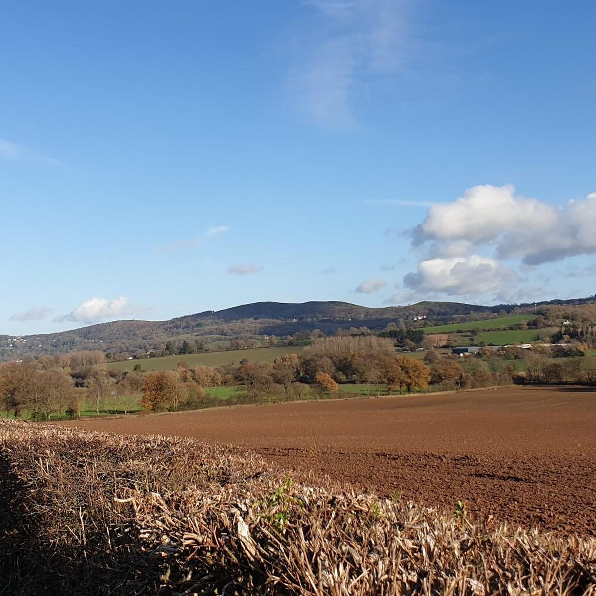
130m of climb from the main road towards Pencombe but the views towards Worcestershire Beacon from the top are worth it.
0
0
Frequently Asked Questions
How many jogging routes are available around Ullingswick?
There are over 30 jogging routes available around Ullingswick, offering a variety of options for different fitness levels. These routes are highly rated by the komoot community, with an average score of 4.8 stars.
What kind of terrain can I expect on running trails near Ullingswick?
The terrain around Ullingswick is quite varied, characterized by undulating gorse, grassland, and woodland. You'll find a mix of open spaces, orchards, and quiet rural roads. This provides options from gentle paths to more challenging inclines, catering to different running preferences.
Are there any easy or beginner-friendly running routes in the area?
Yes, among the 30 available routes, 4 are classified as easy, making them suitable for beginners or those looking for a more relaxed run. Additionally, 25 routes are moderate, offering a good balance for most runners. For example, the Rural Road to Bodenham Lake loop from Bodenham is a moderate 3.2-mile trail with minimal elevation gain.
Can I find more challenging running routes around Ullingswick?
For experienced runners seeking a challenge, there is at least one difficult route available. The View of Worcestershire Beacon – Rural Road to Bodenham Lake loop from Bodenham is a 10.6-mile trail with over 220 meters of elevation gain, offering panoramic views and a more demanding experience.
Are the jogging routes around Ullingswick suitable for families?
While specific 'family-friendly' designations aren't provided, the area's varied terrain includes gentle paths and moderate routes that could be suitable for families. Routes with lower elevation gain and shorter distances, such as the 3.2-mile Rural Road to Bodenham Lake loop from Bodenham, might be good options for a family jog.
Are dogs allowed on the running trails near Ullingswick?
Many trails in the Herefordshire countryside, including those around Ullingswick, are generally dog-friendly, especially on public footpaths and bridleways. However, it's always advisable to keep dogs on a lead, particularly near livestock or in nature conservation areas, and to check local signage for any specific restrictions.
Are there any circular running routes available?
Yes, many of the routes around Ullingswick are designed as loops, providing circular running experiences. Examples include the Rural Road to Bodenham Lake loop from Bodenham Moor and the Steep Winding Road Climb – Rural Road to Bodenham Lake loop from Bodenham, allowing you to start and finish in the same location.
What natural features or landmarks can I see while jogging?
Jogging around Ullingswick offers views of diverse natural features and nearby landmarks. You can enjoy views towards the Worcestershire Beacon, explore areas around Bodenham Lake, and pass through orchards and open parkland. Other points of interest include Snail's Bank and the Swardon Quarry Viewpoint.
Where can I find parking for the running trails?
While specific parking details for every route aren't listed, many rural routes in the Ullingswick area, especially those starting from villages like Bodenham or Stoke Lacy, typically have roadside parking or small village car parks available. It's recommended to check the starting point of your chosen route for the most convenient parking options.
Is public transport available to access the jogging routes?
Ullingswick is a rural area, and public transport options might be limited. Access to trailheads often relies on local bus services to nearby towns like Bromyard or Bodenham, followed by a walk or short taxi ride. Planning your journey in advance is recommended, as direct public transport to all starting points may not be available.
What is the best time of year to go jogging in Ullingswick?
The Herefordshire countryside is beautiful year-round. Spring and autumn offer pleasant temperatures and vibrant scenery, making them ideal for jogging. Summer provides longer daylight hours, though some paths might be more exposed. Winter runs can be crisp and clear, but trails may be muddy or icy, so appropriate footwear is essential.
Are there any running routes that pass by pubs or cafes?
While specific routes with pub or cafe stops are not detailed, the region's charm includes traditional pubs in nearby villages. Many routes pass through or near communities like Bodenham or Stoke Lacy, where you might find local establishments for refreshments. It's a good idea to check local amenities along your planned route.
What do other runners think about the trails in Ullingswick?
The running trails around Ullingswick are highly regarded by the komoot community, boasting an impressive average rating of 4.8 out of 5 stars from 5 reviews. Runners often praise the varied terrain, the scenic views towards landmarks like the Worcestershire Beacon, and the peaceful rural atmosphere of the Herefordshire countryside.
Are there any unpaved running paths around Ullingswick?
Yes, the region's landscape of gorse, grassland, and woodland means many routes incorporate unpaved sections. While some routes follow quiet rural roads, you'll also find natural paths and trails, particularly in areas like Bromyard Downs or Bringsty Common, offering a more natural running surface.
Most popular routes around Ullingswick
Most popular attractions around Ullingswick

Get inspired with the komoot mobile app


Explore more
Browse the best Running Trails & Routes in other regions.
