The best road cycling routes around Pinxton
4.4
(100)
4,359
riders
325
rides
Road cycling routes around Pinxton offer diverse landscapes, from open fields and wooded areas to waterways and historical sites. The region, situated on the border of Derbyshire and Nottinghamshire, provides a network of paved surfaces suitable for various fitness levels. Cyclists can explore routes that blend natural beauty with the area's industrial heritage, often connecting to country lanes and former railway lines. The terrain includes options ranging from moderate rides to more challenging routes with significant elevation gain.
Best road…
Last updated: July 4, 2026
19
riders
Moderate road ride. Good fitness required. Mostly well-paved surfaces and easy to ride.
12
riders
Moderate road ride. Good fitness required. Mostly well-paved surfaces and easy to ride.

Sign up for free
12
riders
37.1km
01:53
510m
510m
Moderate road ride. Good fitness required. Mostly well-paved surfaces and easy to ride.
7
riders
Easy road ride. Great for any fitness level. Mostly well-paved surfaces and easy to ride.
8
riders
34.6km
01:36
390m
390m
Moderate road ride. Good fitness required. Mostly well-paved surfaces and easy to ride.
Get access to more routes and recommendations from other explorers.
Sign up for free
Already have an account?
Our route recommendations are based on thousands of hikes, rides, and runs completed by other people on komoot.
Start today with a free account
Your next adventure awaits.
Login or Signup

Tips from the Community

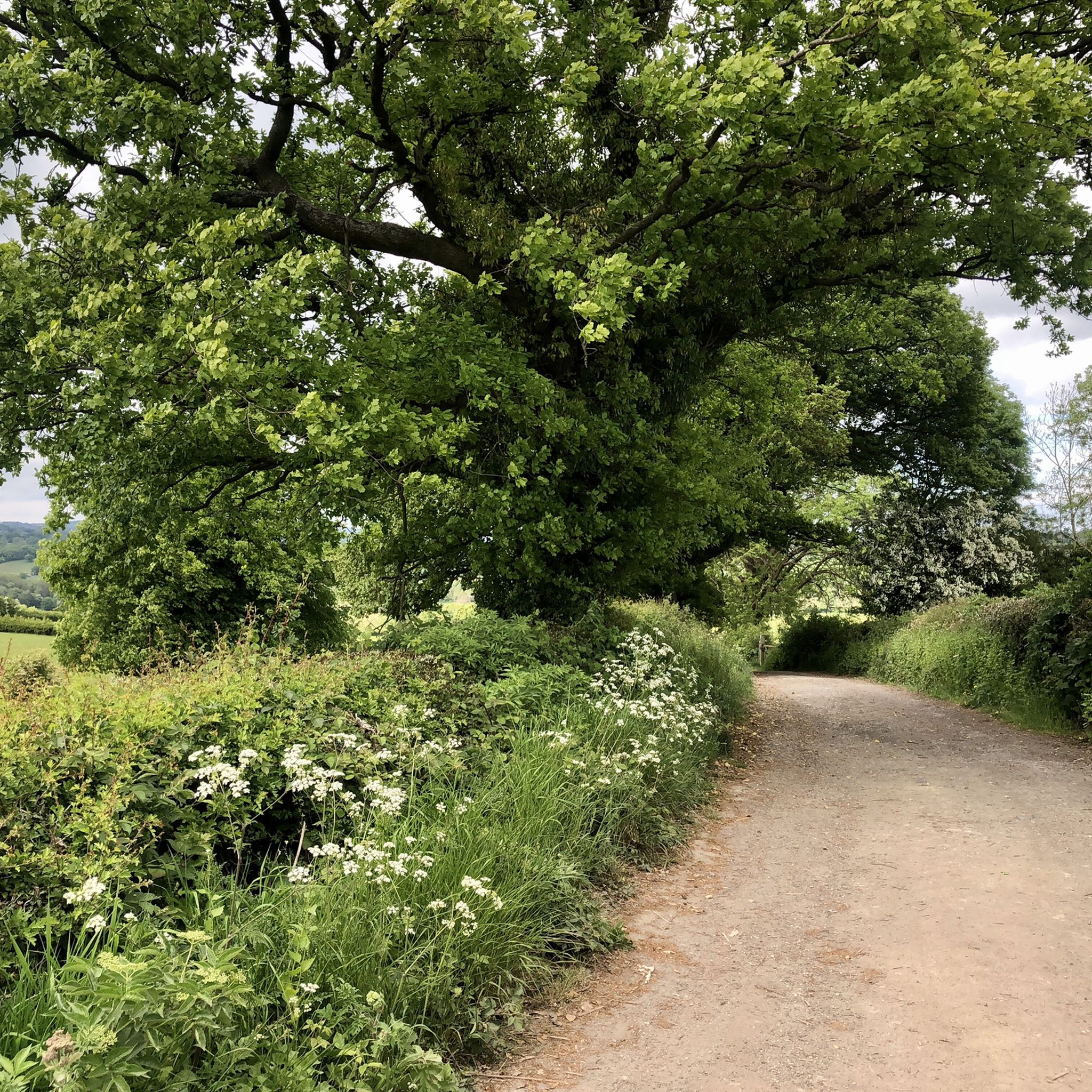
Hiking down the a road for a stunning view of Ogston Reservoir from Ashover
0
0


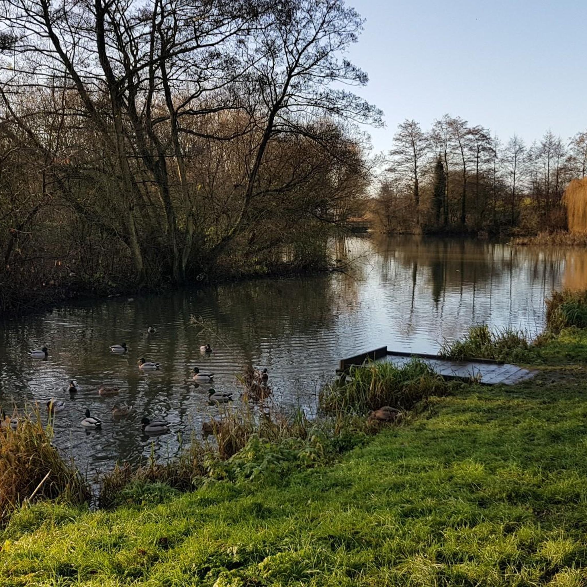
beautiful peaceful spot with car park and bird hide
0
0

Ogston Reservoir was built to supply water to a carbonisation plant. It's now a water supply reservoir, which also helps maintain the levels at Carsington Reservoir. Ogston New Road skirts the reservoir, visiting the old village of Woolley, which was partly flooded by the reservoirs' creation. Woolly Moor to the north was created to rehome the inhabitants of the lower areas of Woolly.
0
0

The church dates from the late 13th century but was heavily rebuilt in 1850 by the contractor C. Lindley of Mansfield to the designs of the architect Thomas Chambers Hine. It reopened on 1 January 1851.
0
0
The plantation has been grown on land that was once one of the colliery spoil heaps.
0
0
The church dates from the 15th century. Alterations were made in the 17th century. It was restored between 1848 and 1849 under the direction of the architect Henry Isaac Stevens and was re-opened by the Bishop of Lichfield on 24 January 1849. The church was restored again in 1929.
0
0
Alfreton’s Watchorn Methodist Church is part of the Watchorn Estate, built by local benefactor Robert Watchorn (1858-1944) in memory of his mother, his son Ewart and Abraham Lincoln, whom he considered the greatest man ever born.
0
0
Frequently Asked Questions
How many road cycling routes are available around Pinxton?
There are over 10 road cycling routes around Pinxton listed on komoot, offering a variety of distances and elevations to suit different preferences. The komoot community has highly rated these routes, with an average score of 4.48 out of 5 stars.
What is the typical terrain and difficulty of road cycling routes in the Pinxton area?
The road cycling routes around Pinxton offer a mix of terrain. While some routes follow former railway lines that are largely flat, many road routes feature rolling hills with continuous ascents and descents, especially as you approach the Peak District. You'll find routes ranging from easy, like the "No Millstone loop from South Normanton" with 281m of elevation gain, to moderate challenges, such as the "Belper Lane End Climb – Whatstandwell Climb to Crich loop from South Normanton" which includes over 700m of climbing.
Are there any beginner-friendly road cycling routes near Pinxton?
Yes, Pinxton offers several beginner-friendly road cycling routes. For instance, the No Millstone loop from South Normanton is rated easy, covering 22.8 km with 281m of elevation. Another easy option is the Butterfly Lake, Swanwick loop from Pinxton, which is 22.6 km long with 205m of elevation gain. These routes provide a good introduction to road cycling in the area.
What natural features or landmarks can I see along the road cycling routes?
The routes often pass through areas of natural beauty and historical significance. You might cycle past Ogston Reservoir, which is featured in routes like the View of Ogston Reservoir loop from South Normanton. The region also boasts transformed industrial landscapes, woodlands, and nature reserves like Williamthorpe Local Nature Reserve and Holmewood Woodlands. Historic sites such as Newstead Abbey are also accessible by bike.
Where can I park when starting a road cycling route in Pinxton?
Many routes start from towns like Pinxton or South Normanton, where local parking options may be available. For trails that are part of larger networks, such as the Teversal Trails, the Teversal Trails Visitors Centre offers convenient parking facilities. Always check specific starting points for parking availability.
When is the best time of year to go road cycling around Pinxton?
The Pinxton area is enjoyable for road cycling throughout much of the year. Spring and autumn offer pleasant temperatures and beautiful scenery, with fewer crowds than peak summer. Summer provides longer daylight hours, though some routes might be busier. Winter cycling is possible, but be prepared for colder temperatures and potentially wet conditions, especially on less sheltered roads.
Are there any circular road cycling routes available?
Yes, many of the road cycling routes around Pinxton are circular, allowing you to start and end at the same point. Examples include the Higham Stone Cross loop from Pinxton and the Doe Hill Country Park Pond – Morton Colliery Plantation loop from South Normanton, both offering convenient circular journeys.
What do other road cyclists enjoy most about cycling in Pinxton?
The komoot community rates road cycling in Pinxton highly, with an average of 4.48 stars. Cyclists often praise the blend of quiet country roads, the scenic views of the transformed industrial landscape, and the variety of routes that cater to different fitness levels. The opportunity to explore both natural beauty and historical sites is also frequently highlighted.
Are there routes suitable for experienced road cyclists looking for a challenge?
Absolutely. While there are easy routes, experienced road cyclists can find challenging options, particularly those venturing towards the Peak District National Park. Routes like the Belper Lane End Climb – Whatstandwell Climb to Crich loop from South Normanton, with over 700m of elevation gain, provide a good workout. The region's rolling terrain ensures continuous ascents and descents for a demanding ride.
Can I find places to stop for refreshments or food along the routes?
Yes, the Pinxton area and surrounding villages offer various cafes and pubs. The Teversal Trails Visitors Centre, for example, has a cafe. Many routes pass through or near small towns and villages where you can find places to refuel. Planning your route in advance allows you to identify suitable stops.
Are there any routes that connect to the wider Peak District National Park?
Pinxton serves as a convenient base for exploring the wider Peak District National Park. While the immediate routes focus on the local area, the region's network of trails and roads can lead you towards the Peak District, known for its extensive cycling opportunities and more challenging terrain. The Five Pits Trail, for instance, links to the Teversal Trails, which can be a gateway to broader exploration.
Most popular attractions around Pinxton

Get inspired with the komoot mobile app


Explore more
Browse the best Road cycling routes in other regions.
