The best road cycling routes around Orton
4.5
(94)
2,444
riders
141
rides
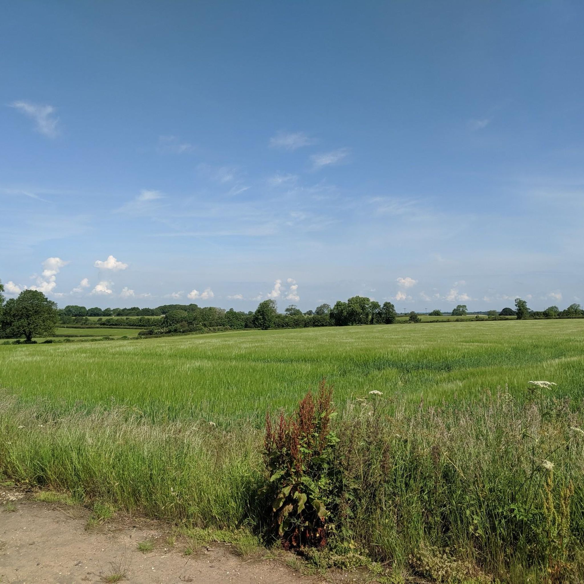
Road cycling routes around Orton traverse a landscape of rolling hills and river valleys. The area features water bodies such as Pitsford Water and Eyebrook Reservoir, providing diverse scenery for rides. Elevations are generally moderate, with some routes including notable climbs like Harrington Hill. The terrain supports a range of road cycling experiences, from gentler loops to more challenging ascents.
Best road cycling routes around Orton
- The most popular road cycling route is Walgrave Park Entrance – Pitsford Water loop…
Last updated: June 23, 2026
5.0
(2)
62
riders
37.8km
01:40
260m
260m
Easy road ride. Great for any fitness level. Mostly well-paved surfaces and easy to ride.
5.0
(1)
25
riders
35.2km
01:45
310m
310m
Moderate road ride. Good fitness required. Some segments of this route may be unpaved and difficult to ride.

Sign up for free
4.3
(3)
18
riders
28.6km
01:11
150m
150m
Easy road ride. Great for any fitness level. Mostly well-paved surfaces and easy to ride.
5.0
(1)
13
riders
48.9km
02:37
530m
530m
Moderate road ride. Good fitness required. Mostly well-paved surfaces and easy to ride.
15
riders
27.9km
01:12
170m
170m
Easy road ride. Great for any fitness level. Mostly well-paved surfaces and easy to ride.
Get access to more routes and recommendations from other explorers.
Sign up for free
Already have an account?
Our route recommendations are based on thousands of hikes, rides, and runs completed by other people on komoot.
Start today with a free account
Your next adventure awaits.
Login or Signup




Tips from the Community


This climb is a leg-burner, perfect for a serious workout. In reverse, it’s a scenic, enjoyable downhill, offering sweeping views of the countryside - so a rewarding ride in either direction.
2
0

The road rises then plateaus a few times making for a nice climb
0
0


Very excellent site good amenities and stunning views. I should not recommend as this is a CL site I want to keep to myself. 😀
1
0
The reservoir circuit winds through grasslands, meadows, and woodlands and remains flat and paved almost entirely all the way around.
1
0
Frequently Asked Questions
What is the general difficulty level of road cycling routes around Orton?
Orton offers a diverse range of road cycling routes. You'll find a good balance, with 73 easy routes perfect for a relaxed ride and 75 moderate routes that provide more of a challenge, often including climbs like Harrington Hill. There are no routes classified as difficult, making the area accessible for most road cyclists.
Are there road cycling routes suitable for beginners in Orton?
Yes, Orton has numerous routes ideal for beginners. Many feature easy gradients and relatively flat terrain. A great option is the Oliver's Bakery – Mawsley Trig Point loop from Rothwell, which covers 17.8 miles (28.6 km) through varied countryside with moderate elevation gain.
Are there challenging road cycling routes for experienced riders in Orton?
Experienced riders looking for a challenge will find several moderate routes with notable climbs. The View of the River Ise Valley – Harrington Hill Climb loop from Rothwell is a popular choice, featuring a climb up Harrington Hill and offering scenic views over the River Ise Valley.
What kind of terrain can I expect on road cycling routes near Orton?
The road cycling routes around Orton primarily traverse a landscape of rolling hills and river valleys. You'll encounter diverse scenery, including water bodies like Pitsford Water and Eyebrook Reservoir. While elevations are generally moderate, some routes include more significant ascents such as Harrington Hill.
What are the typical lengths of road cycling routes around Orton?
Route lengths vary, catering to different preferences. Many popular routes range from approximately 17 miles (27 km) to 30 miles (48 km). For instance, the Walgrave Park Entrance – Pitsford Water loop from Rothwell is 23.4 miles (37.7 km), while the Eyebrook Reservoir – Cattle Pasture View loop from Rothwell extends to 30.4 miles (48.9 km).
Are there circular road cycling routes available in Orton?
Yes, the majority of road cycling routes around Orton are designed as loops, allowing you to start and finish at the same point. This makes planning your ride convenient, whether you're exploring Pitsford Water or tackling the Harrington Hill Climb.
What points of interest can I see while road cycling around Orton?
While cycling around Orton, you can discover several interesting points. Routes often pass by Pitsford Water, offering scenic views. Other notable attractions in the wider area include the historic Eleanor Cross at Geddington and the charming St Peter and St Paul’s Church in Hannington.
Are there any scenic viewpoints along the road cycling routes?
Yes, many routes offer picturesque views. For example, the View of the River Ise Valley – Harrington Hill Climb loop from Rothwell provides expansive vistas of the River Ise Valley. Additionally, routes around Pitsford Water and Eyebrook Reservoir offer beautiful waterside scenery.
Are there family-friendly road cycling routes in Orton?
For families, routes with easier gradients and less traffic are recommended. Many of the easy-rated loops, such as those around Pitsford Water, are suitable for a family outing, offering pleasant scenery without overly demanding climbs. Always check the route details for specific elevation and traffic information.
What do other road cyclists enjoy about the routes in Orton?
The road cycling routes in Orton are highly regarded by the komoot community, boasting an average score of 4.5 stars from over 90 reviews. Cyclists often praise the varied terrain, from rolling hills to river valleys, and the scenic views of reservoirs like Pitsford Water. The network offers options for different ability levels, ensuring a rewarding experience for many.
How many road cycling routes are available around Orton?
There are over 140 road cycling routes available around Orton, providing a wide selection for all preferences. This includes 73 easy routes and 75 moderate routes, ensuring plenty of options for both casual rides and more challenging excursions.
Are there routes that explore the local countryside and villages?
Absolutely. Many routes wind through the varied countryside and connect charming local villages. The Oliver's Bakery – Mawsley Trig Point loop from Rothwell is a good example, taking you through rural landscapes and past points of interest like Mawsley Trig Point.
Most popular attractions around Orton

Get inspired with the komoot mobile app


Explore more
Browse the best Road cycling routes in other regions.
