Chinley, Buxworth And Brownside
Chinley, Buxworth And Brownside
The best mountain hikes around Chinley, Buxworth And Brownside
5.0
(2)
13
hikers
6
hikes
Mountaineering routes around Chinley, Buxworth And Brownside are situated within the High Peak district of Derbyshire, largely encompassed by the Peak District National Park. This region is characterized by dramatic summits, extensive high moors, and iconic ridges, offering challenging terrain for mountaineers. Notable features include the impressive peaks of Mam Tor, Kinder Scout, and Chinley Churn, providing significant elevation gains and panoramic vistas across the diverse landscape.
Best mountaineering routes around Chinley, Buxworth And Brownside
- The most popular mountaineering route…
Last updated: June 26, 2026
5.0
(1)
3
hikers
17.9km
05:27
550m
560m
Hard mountaineering route. Very good fitness required. Mostly accessible paths. Sure-footedness required.
4
hikers
8.60km
02:53
380m
380m
Moderate mountaineering route. Good fitness required. Mostly accessible paths. Sure-footedness required.

Sign up for free
5.0
(1)
2
hikers
11.0km
03:35
430m
430m
Moderate mountaineering route. Good fitness required. Mostly accessible paths. Sure-footedness required.
2
hikers
10.7km
03:05
260m
260m
Moderate mountaineering route. Good fitness required. Easily-accessible paths. Suitable for all skill levels.
1
hikers
11.2km
03:26
390m
390m
Moderate mountaineering route. Good fitness required. Easily-accessible paths. Suitable for all skill levels.
Our route recommendations are based on thousands of hikes, rides, and runs completed by other people on komoot.
Start today with a free account
Your next adventure awaits.
Login or Signup
Popular around Chinley, Buxworth And Brownside
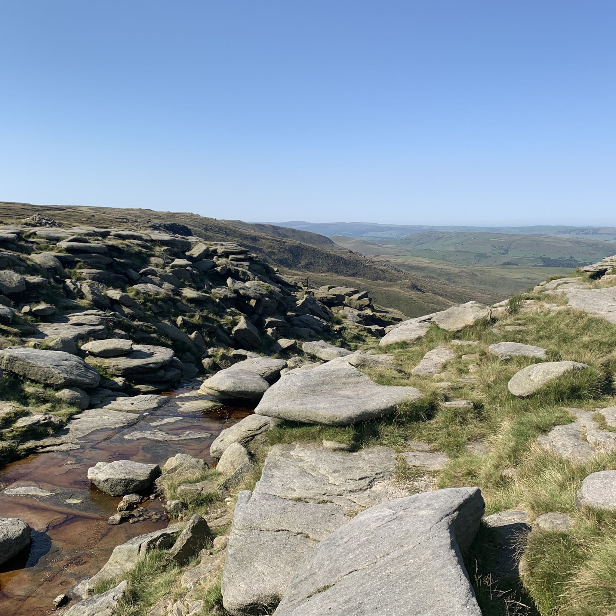
Hiking around Chinley, Buxworth And Brownside
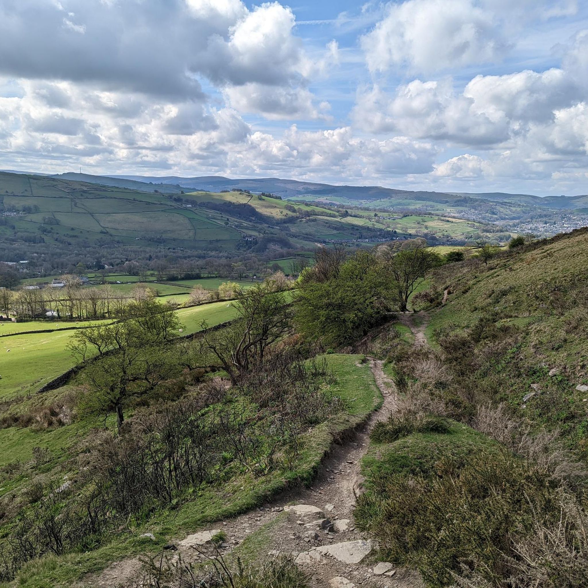
Running Trails around Chinley, Buxworth And Brownside
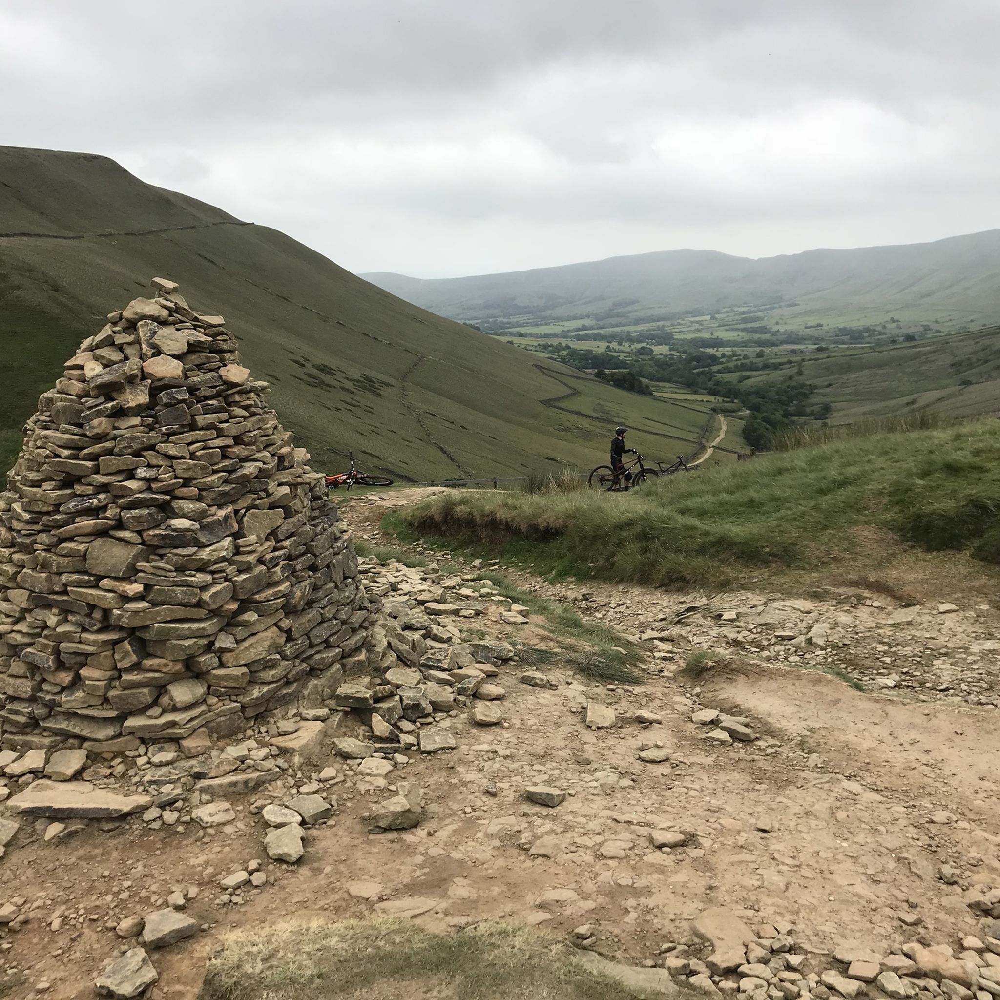
MTB Trails around Chinley, Buxworth And Brownside
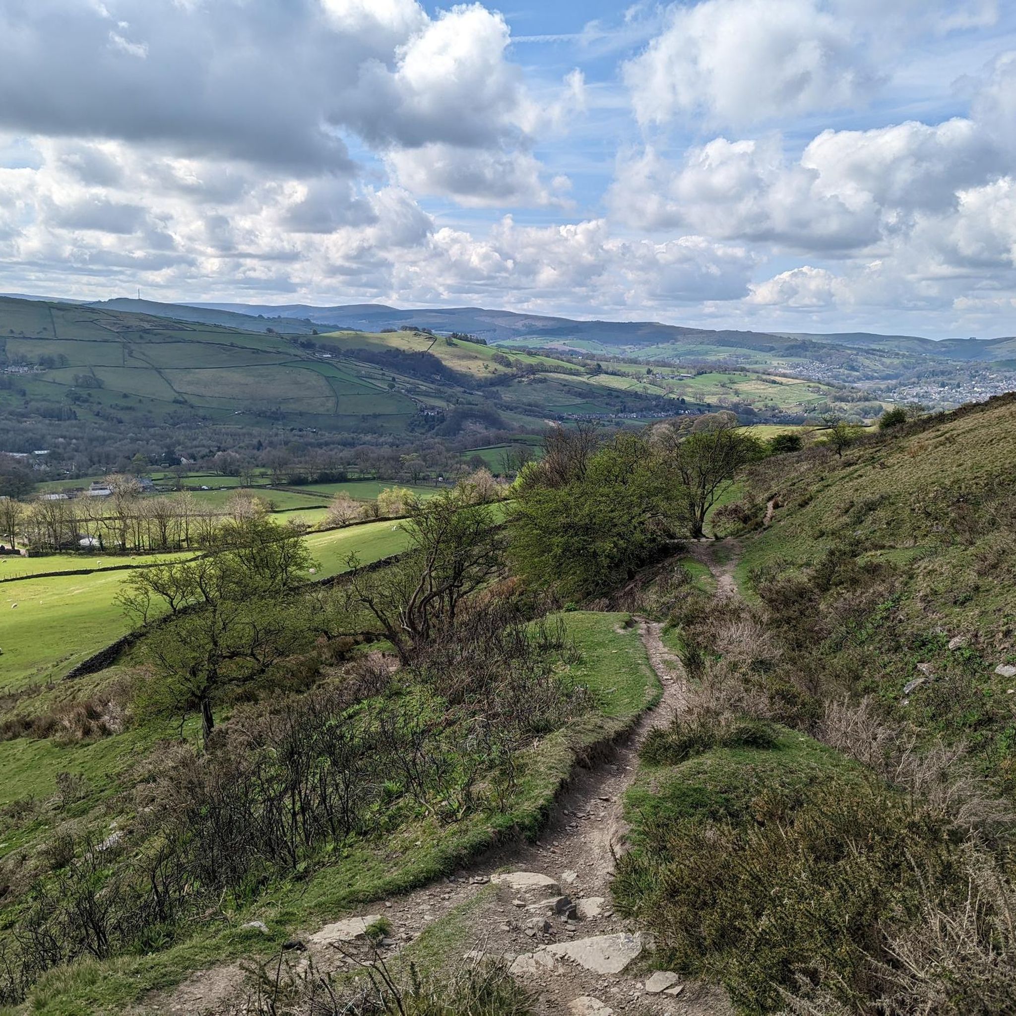
Cycling around Chinley, Buxworth And Brownside
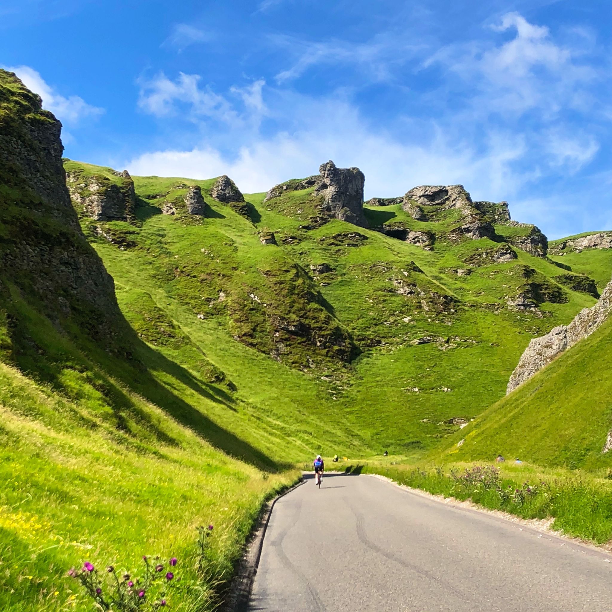
Road Cycling Routes around Chinley, Buxworth And Brownside

Gravel biking around Chinley, Buxworth And Brownside
Tips from the Community

Surprisingly good views and although the path seems well used there wasn’t a soul around
0
0

Great place to start hikes parking can get busy but plenty of routes to take
0
0


very fast coming from Pym's chair. then is a leg sapping uphill for a few miles to the end.
0
0

It's probably the most underrated point in the peak district, with, in my opinion, the best views in the peaks.
1
0

Edale is the start of the Pennine Way, which also means it's the start of one of Britain's most iconic races: The Spine. It's a wonderful base for adventurous running adventures, with the vast moorland of Kinder Scout to the north and The Great Ridge to the south. It's also easily accessed by train from both Manchester and Sheffield.
0
0

Lovely climb up from the reservoir, quiet road with fabulous views.
0
0

Frequently Asked Questions
How many mountaineering routes are available in Chinley, Buxworth And Brownside?
There are several mountaineering routes around Chinley, Buxworth And Brownside, with komoot featuring 7 distinct tours. These routes offer a range of experiences, from moderate climbs to more difficult ascents, all set within the dramatic landscapes of the Peak District National Park.
Are there any easy mountaineering routes suitable for beginners?
Yes, if you're looking for an easier introduction to mountaineering in the area, consider the Mountaineering loop from Snake Pass. This route is rated as easy and provides a good starting point to experience the region's beauty without overly challenging terrain.
Which routes offer the most challenging mountaineering experiences?
For those seeking a more challenging mountaineering experience, the Grindslow Knoll Summit – Mam Tor summit and trig point loop from Edale is a difficult route that connects two prominent summits, offering significant elevation gains and extensive views across the Peak District. The region itself is known for impressive peaks like Kinder Scout and Chinley Churn, which are often part of demanding hikes.
Are there any circular mountaineering routes in the area?
Yes, many of the mountaineering routes in Chinley, Buxworth And Brownside are circular, allowing you to start and end in the same location. Examples include the Ringing Roger loop from Edale and the Burbage Edge loop from Combs, both offering rewarding journeys through the landscape.
What kind of natural landmarks or viewpoints can I expect to see on these routes?
The mountaineering routes in this region offer access to stunning natural landmarks and panoramic viewpoints. You can expect to encounter dramatic summits like Mam Tor, known as the 'Shivering Mountain', and Kinder Low Trig Point on Kinder Scout. Other notable features include the iconic Great Ridge, connecting Mam Tor and Lose Hill, and various rock formations such as Edale Rocks. Many routes provide breathtaking views across the Peak District, including the Hope and Edale Valleys. You can explore highlights like Mam Tor summit and trig point and Kinder Low Trig Point.
Are there any waterfalls along the mountaineering trails?
While the primary focus of these routes is mountaineering, the wider region around Chinley, Buxworth And Brownside does feature several beautiful waterfalls and cloughs. You might find yourself near areas like Grindsbrook Clough or Crowden Clough Scramble and Waterfalls, which offer picturesque natural features to explore.
How long do the mountaineering routes typically take to complete?
The duration of mountaineering routes varies depending on their length and difficulty. For instance, the moderate Ringing Roger loop from Edale, covering 5.7 miles (9.2 km), typically takes around 3 hours. Longer and more challenging routes, like the 11.1-mile (17.9 km) Grindslow Knoll Summit – Mam Tor summit and trig point loop from Edale, can take over 5 hours to complete.
What do other mountaineers enjoy most about the routes in Chinley, Buxworth And Brownside?
The mountaineering routes in Chinley, Buxworth And Brownside are highly rated by the komoot community, with an average score of 5.0 stars. Mountaineers often praise the dramatic summits, extensive high moors, and iconic ridges like the Great Ridge, which provide challenging terrain and panoramic vistas across the diverse landscape of the Peak District National Park.
Is the area suitable for family-friendly mountaineering?
While many routes are challenging, the region offers a variety of trails. For families, it's best to look for routes with lower elevation gain and shorter distances. The Mountaineering loop from Snake Pass is rated as easy and could be a good option, but always check the specific route details to ensure it matches your family's ability level. The Chinley Park Local Nature Reserve also offers more gentle outdoor experiences.
Are the mountaineering routes dog-friendly?
Many trails within the Peak District National Park are dog-friendly, but it's crucial to keep dogs under close control, especially around livestock and on open moorland. Always check specific route details and local signage for any restrictions. Ensure your dog is fit enough for the terrain and distance, and carry water for them.
What is the best time of year for mountaineering in Chinley, Buxworth And Brownside?
The best time for mountaineering generally depends on your experience. Spring and summer offer milder weather and longer daylight hours, making conditions more pleasant. Autumn provides beautiful scenery with changing foliage. Winter mountaineering is possible but requires appropriate gear, experience, and awareness of rapidly changing weather conditions, especially on higher ground like Kinder Scout.
Are there options for public transport to access the trailheads?
The region is part of the Peak District National Park, and some areas, particularly around Edale, are accessible by public transport, including train services. Many routes start or pass through villages like Edale, which have railway stations. It's advisable to check local bus and train schedules to plan your access to specific trailheads.
Where can I find parking for mountaineering routes?
Parking is available in and around the villages that serve as common starting points for routes, such as Edale, Chinley, and Combs. Specific car parks may be available at popular trailheads, but it's always recommended to check parking availability and any associated fees in advance, especially during peak seasons.
Most popular routes around Chinley, Buxworth And Brownside
Most popular attractions around Chinley, Buxworth And Brownside

Get inspired with the komoot mobile app


Explore more
Browse the best Mountain Hikes & Routes in other regions.
