The best mountain hikes around Chisworth
6
hikers
2
hikes
Mountaineering routes around Chisworth are situated within the Dark Peak area of the Peak District National Park, offering a landscape defined by distinctive gritstone formations and challenging terrain. The region provides opportunities for scrambling and technical climbing, with notable features like Coombes Rocks and Cown Edge. Kinder Scout, the highest point in the Peak District, is a significant attraction for mountaineers, featuring moorland and steep rocks.
Best mountaineering routes around Chisworth
- The most popular mountaineering route is Wain Stones (Kissing…
Last updated: May 14, 2026
3
hikers
13.2km
04:04
450m
450m
Moderate mountaineering route. Good fitness required. Easily-accessible paths. Suitable for all skill levels.
1
hikers
11.2km
03:26
390m
390m
Moderate mountaineering route. Good fitness required. Easily-accessible paths. Suitable for all skill levels.

Sign up for free
2
hikers
16.6km
05:00
500m
500m
Hard mountaineering route. Very good fitness required. Easily-accessible paths. Suitable for all skill levels.
Our route recommendations are based on thousands of hikes, rides, and runs completed by other people on komoot.
Start today with a free account
Your next adventure awaits.
Login or Signup

Tips from the Community


Torside Reservoir is the largest artificial lake in Longdendale, north Derbyshire, England. It was built by John Frederick Bateman between April 1849 and July 1864 as part of the Longdendale reservoir chain to supply urban areas of Greater Manchester with water from the River Etherow.
1
0

If you follow the trail down from the trig point back to snake pass summit you pass a couple of surprise waterfalls.
3
0

Torside Reservoir is located in the Longdendale Valley in Derbyshire, England, within the Peak District National Park. Here are some key points about Torside Reservoir: Location: Torside Reservoir is situated in the northern part of the Peak District National Park, near the town of Glossop. It is part of the Longdendale Chain of reservoirs. Purpose: Like other reservoirs in the area, Torside was constructed to supply water to the urban areas of Greater Manchester. It is part of the Longdendale Chain, which includes several interconnected reservoirs. Construction: Torside Reservoir was constructed in the early 1960s. Its construction involved the flooding of a valley to create the reservoir. Size: The reservoir is relatively large and is surrounded by scenic hills and moorland. The area around Torside Reservoir is popular for outdoor activities such as walking and birdwatching. Walking and Recreation: The reservoir is a popular destination for walkers, and there is a walking trail that goes around its perimeter. The Longdendale Trail, which follows the course of the former Woodhead Railway line, passes by Torside Reservoir, making it accessible for cyclists and walkers. Wildlife: The reservoir and its surrounding area provide habitat for various bird species, and birdwatchers often visit the region to observe the local wildlife. Access: Torside Reservoir is easily accessible by road, and there are parking facilities near the reservoir. The Longdendale Trail provides a scenic route for walking or cycling. Photography: The picturesque landscape around Torside Reservoir, with its hills and water, makes it a popular location for photographers. Water Sports: While Torside Reservoir is primarily a water supply reservoir, there are restrictions on water sports. Visitors are encouraged to enjoy non-motorized activities such as walking and cycling.
0
0


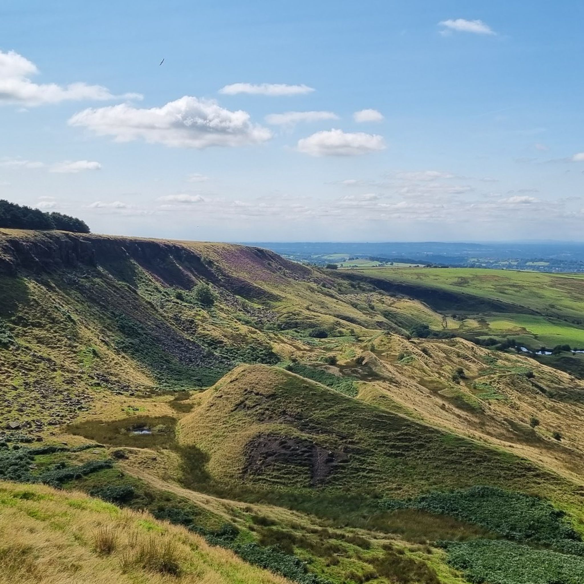
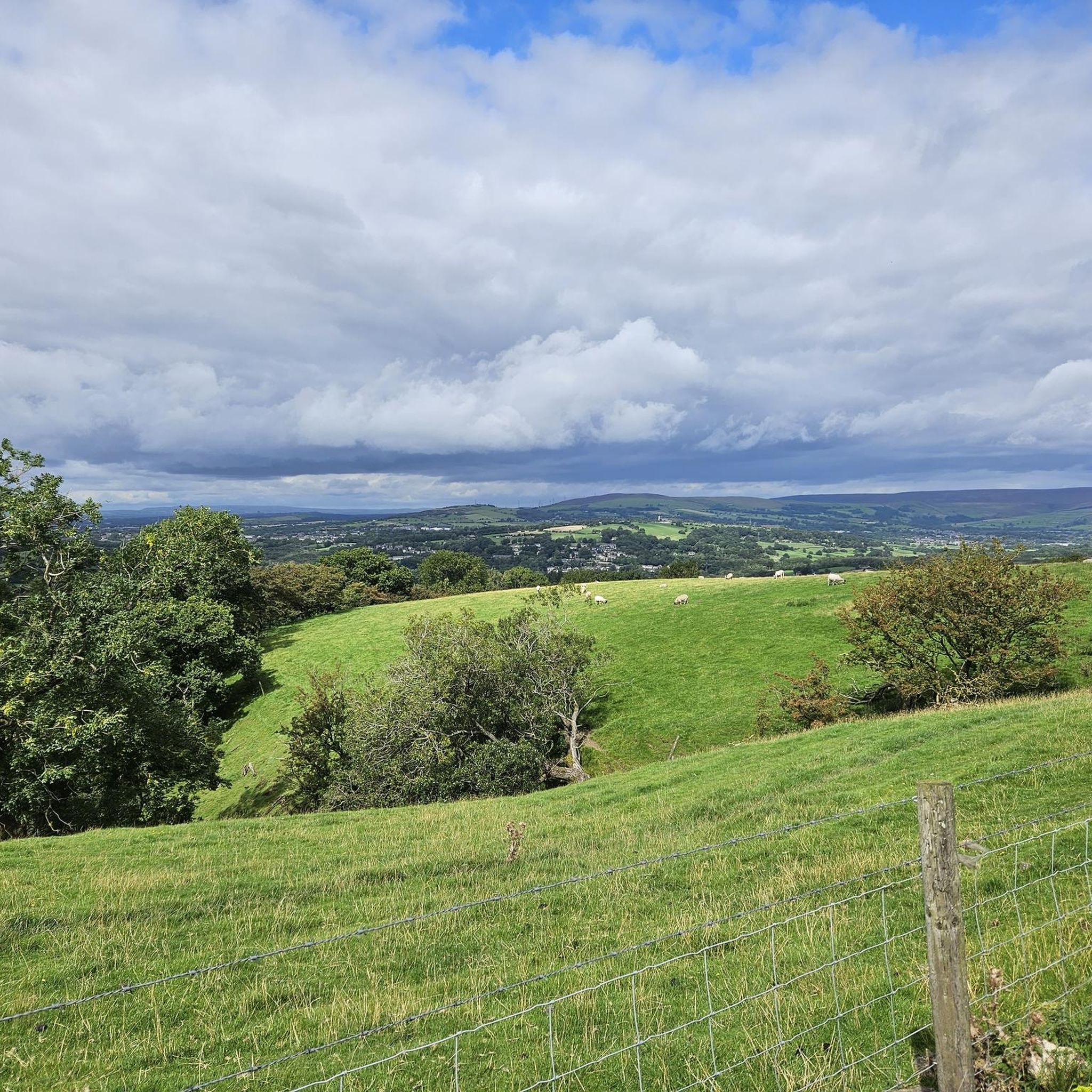
There are amazing views from here down over to Glossop. Also worth a visit is nearby Lower Shelf Stones - there won't be anyone else there!
0
0
A lovely way to beat the crowds heading to the Super Fortress Crash Site. It's a bit of a slog up to Higher Shelf Stones this way though.
0
0
A curious gritstone outcrop which looks like two heads kissing from a certain angle. Well worth a visit if you're heading to Bleaklow Head.
0
0
Frequently Asked Questions
How many mountaineering routes are available around Chisworth?
There are several mountaineering routes around Chisworth, with komoot featuring at least 4 distinct trails. These routes offer a variety of experiences, from easy paths to challenging ascents, exploring the gritstone landscapes and moorlands of the Dark Peak.
Are there any easy mountaineering routes suitable for beginners near Chisworth?
Yes, for those seeking a less strenuous experience, the Mountaineering loop from Snake Pass is an easy 3.74-mile (6.01 km) path. It provides accessible entry into the region's varied terrain, perfect for beginners or a more relaxed day out.
What are some challenging mountaineering routes around Chisworth?
For experienced mountaineers, the region offers several challenging routes. The Wain Stones (Kissing Stones) – Torside Clough loop from Crowden is a difficult 8.05-mile (12.95 km) trail exploring rugged moorland and gritstone formations. Another demanding option is the Lower Shelf Stones – Bleaklow Head loop from Glossop, which covers 10.33 miles (16.61 km) and offers expansive views across the moorland plateau.
Are there any circular mountaineering routes in the Chisworth area?
Yes, all the featured mountaineering routes around Chisworth are circular. For example, you can explore the Mount Famine – Coldwell Clough Descent loop from Hayfield, which is a moderate 6.93-mile (11.15 km) trail leading through scenic cloughs and open moorland.
What kind of landmarks or natural features can I expect to see on these routes?
The routes around Chisworth are rich in natural features. You can encounter dramatic gritstone edges like Coombes Rocks and Cown Edge, and significant peaks such as Kinder Scout, the highest point in the Peak District. Highlights include the Higher Shelf Stones Summit and Trig Point, offering expansive views, and the unique moorland of Bleaklow Head. You might also come across the famous Jacob's Ladder ascent.
Are there opportunities for scrambling on mountaineering routes near Chisworth?
Yes, the Dark Peak area around Chisworth is renowned for scrambling opportunities. Locations like Coombes Clough offer various scrambling routes, ranging from Grade 1 sections that are a step up from a rocky walk, to more challenging Grade 2 sections with waterfalls that may require using your hands. The Crowden Clough Scramble and Waterfalls is a notable highlight for those seeking a more adventurous ascent.
What is the best time of year for mountaineering around Chisworth?
The gritstone season, ideal for climbing and scrambling, typically runs from winter to spring, with cool, crisp weather offering the best conditions. However, the extensive walking and hiking trails are accessible year-round. Be aware that the Kinder Plateau can be difficult to navigate in poor weather, so appropriate gear and navigation skills are essential, especially outside of summer.
Are the mountaineering routes around Chisworth dog-friendly?
Many trails in the Peak District are dog-friendly, but it's crucial to keep dogs on a lead, especially in areas with livestock or ground-nesting birds, which are common on the moorlands. Always follow the Countryside Code and be mindful of local signage regarding dog access, particularly during lambing season.
Are there any family-friendly options for exploring the Chisworth area?
While many mountaineering routes can be challenging, the broader network of trails around Chisworth offers options for various skill levels. For families, consider shorter, less strenuous sections of trails or explore nearby attractions like the Torrs Riverside Park and the Millennium Walkway, which provide accessible walks and points of interest.
Where can I find parking for mountaineering routes near Chisworth?
Parking availability varies by starting point. For routes like the Wain Stones (Kissing Stones) – Torside Clough loop, you would typically look for parking near Crowden. For routes starting from Hayfield or Glossop, there are usually public car parks available in those villages, which serve as popular access points to the Peak District.
Can I reach the mountaineering routes near Chisworth by public transport?
Public transport options are available to access the Peak District, though they may require some planning. Villages like Glossop, Hayfield, and Edale, which serve as common starting points for routes to Kinder Scout and Bleaklow, are often reachable by bus or train from larger towns. It's advisable to check local bus and train schedules in advance for specific route access.
Are there any cafes or pubs near the mountaineering routes in Chisworth?
While Chisworth itself is a small hamlet, nearby villages like Glossop, Hayfield, and Charlesworth offer a selection of cafes, pubs, and shops where you can refuel before or after your mountaineering adventure. These villages are popular hubs for visitors to the Peak District.
Most popular routes around Chisworth
Most popular attractions around Chisworth

Get inspired with the komoot mobile app


Explore more
Browse the best Mountain Hikes & Routes in other regions.
