The best walks and hikes around Hartshorne
4.6
(1985)
13,336
hikers
26
hikes
Hiking around Hartshorne provides access to a network of trails through the surrounding countryside. The region is characterized by routes that explore local nature reserves, circle reservoirs, and follow paths through established woodlands. Trails often feature gentle elevation changes, making the area suitable for a range of walking abilities.
Best hiking trails around Hartshorne
- The most popular hiking route is Foremark Reservoir – Carvers Rocks Nature Reserve loop from Hartshorne, a 3.7 mile (5.9 km) trail that takes around…
Last updated: May 26, 2026
4.4
(37)
161
hikers
Easy hike. Great for any fitness level. Easily-accessible paths. Suitable for all skill levels.
4.5
(14)
53
hikers
11.1km
03:01
160m
160m
Moderate hike. Good fitness required. Easily-accessible paths. Suitable for all skill levels.

Sign up for free
4.8
(11)
23
hikers
4.06km
01:04
40m
40m
Easy hike. Great for any fitness level. Easily-accessible paths. Suitable for all skill levels.
15
hikers
13.9km
03:42
150m
150m
Moderate hike. Good fitness required. Easily-accessible paths. Suitable for all skill levels.
4.7
(6)
12
hikers
12.8km
03:30
190m
190m
Moderate hike. Good fitness required. Easily-accessible paths. Suitable for all skill levels.
Get access to more routes and recommendations from other explorers.
Sign up for free
Already have an account?
Our route recommendations are based on thousands of hikes, rides, and runs completed by other people on komoot.
Start today with a free account
Your next adventure awaits.
Login or Signup

Tips from the Community

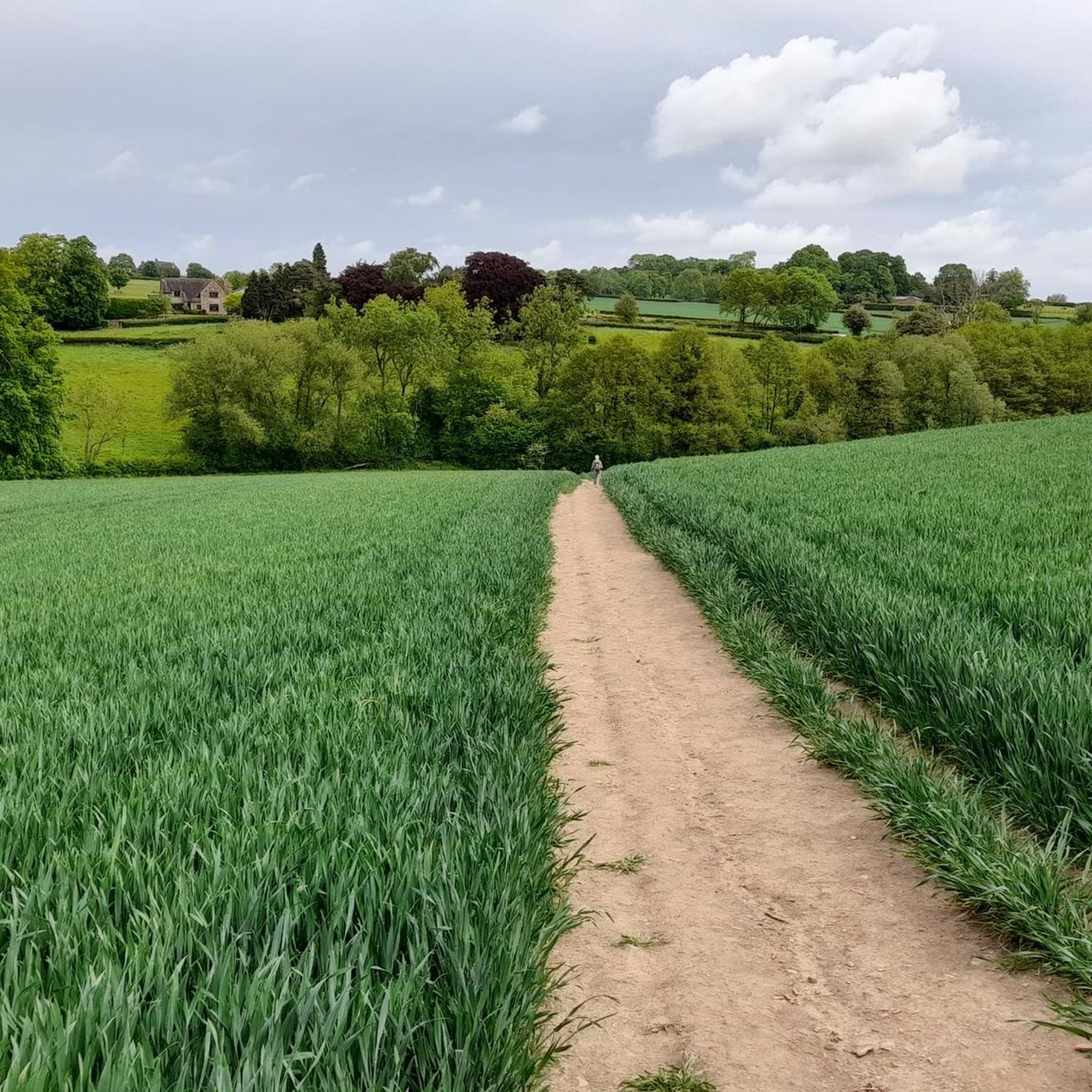
Can become very muddy when its been raining, besides this it is a very peaceful spot in nature and wonderful to roam around the woods.
1
0

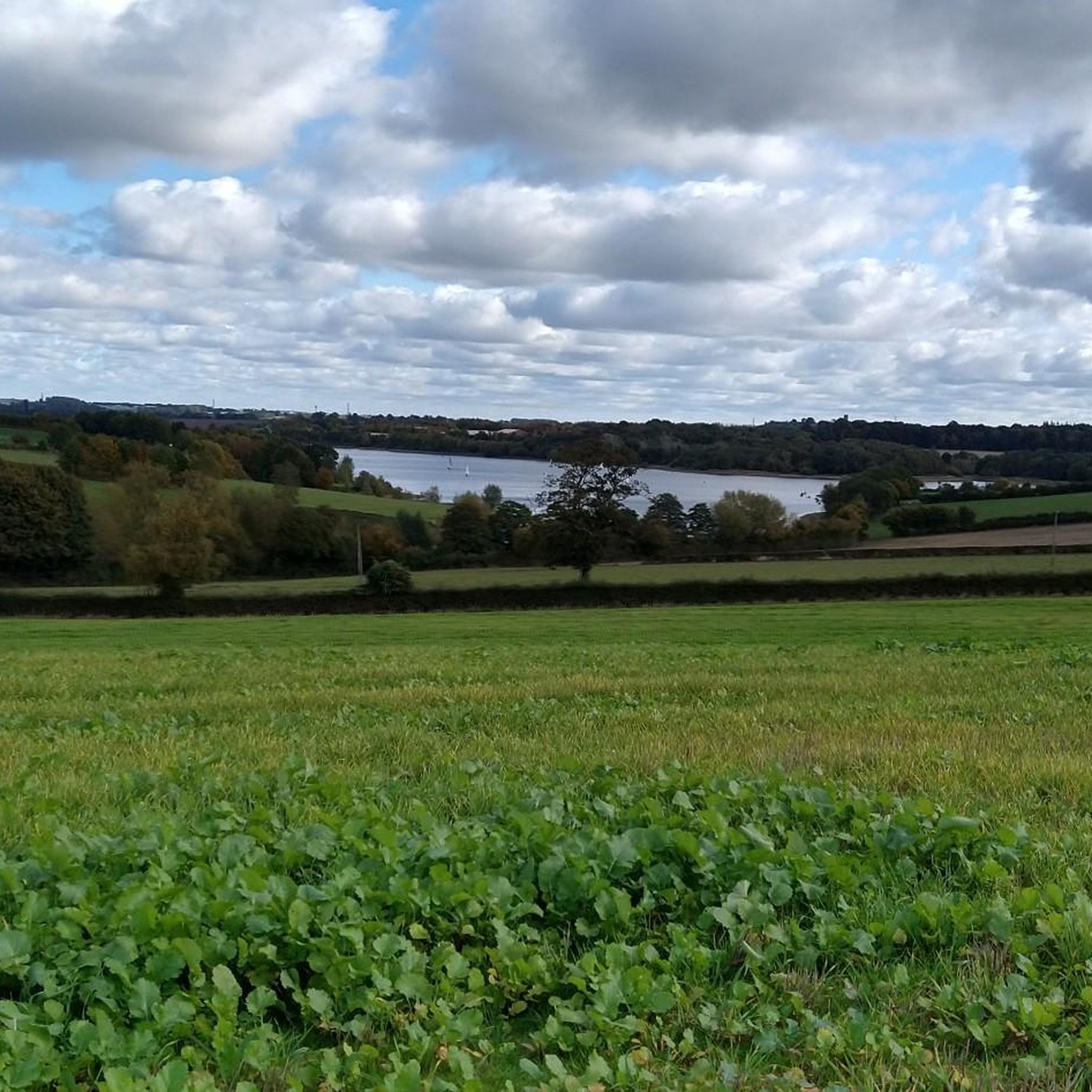
Carvers Rocks is situated at the southern tip of Foremark Reservoir and is a designated 280-acre (113-hectare) nature reserve and Site of Special Scientific Interest (SSSI) managed by the National Trust and Seven Trent. The area includes woodland, lowland heath, beautiful open countryside, and the open water of Foremark Reservoir. It is a haven for all types of wildlife , especially birds. There are a variety of recreation activities here, including woodland walks along with car parking and toilets.
1
0

It was a horse drawn tramway to take the lime to the canal. Went down through the middle of Ashby to Willesley wood. Picked up with the coal from Oakthorpe pit to head for the early steel mills probably around Coventry on the Ashby canal. Spooky to imagine the ghosts of horses and carts as they rattled away down the line.
1
0

Fairly wide and smooth Gravel track that despite it's close proximity to the reservoir you'll be lucky to see it other than through the occasional gap in the trees
0
0

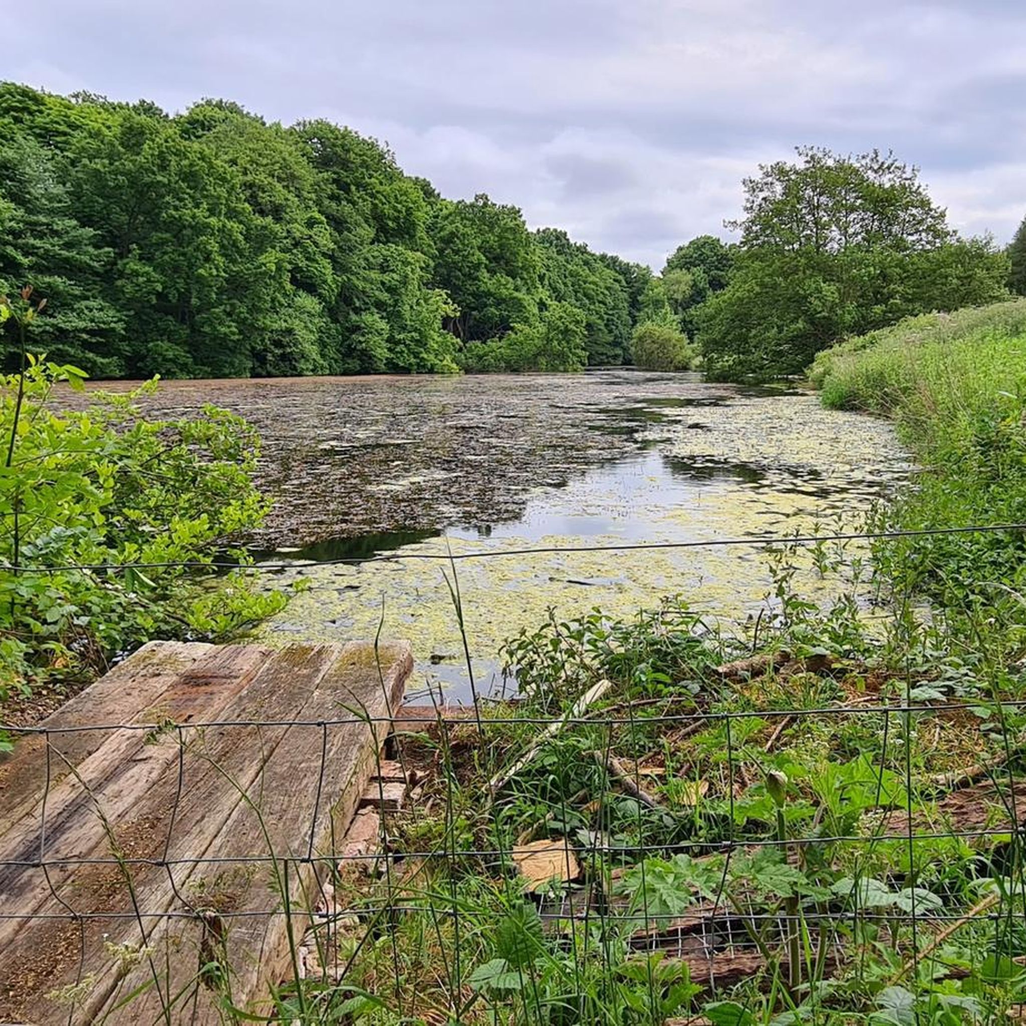
The Limehouse Dams are the old source of water to the village, established in the early 1800s. Water was treated with lime and piped to a waterworks on Manchester Lane, where it was supplied to the village via cast iron pipes. "HWW" cast iron markers still stand today showing where those pipes lay.
0
0


Good place to walk through at night. Very eerie. Don't get spooked by bats 🦇!
1
0
The Church ruins are the remains of the original medieval Church built in the 13th and 14th centuries. The existing church, sited 50 yards north of the old one was built in 1842 by Sir Crewe of Calke Abbey.
0
0
Frequently Asked Questions
Are there any easy, family-friendly hikes around Hartshorne?
Yes, there are several easy walks suitable for families. A great option is the Sharpe's Bottom – Limehouse Dams loop from Hartshorne, which is a relatively short and flat walk. The area offers 13 easy-rated trails in total, providing plenty of choices for a relaxed day out.
What are the trails like in the Hartshorne area?
The hiking trails around Hartshorne are known for their variety. You can expect to find routes that take you through beautiful woodlands, around scenic reservoirs like Foremark Reservoir, and across nature reserves such as Carvers Rocks. The terrain is generally gentle, with some moderate options available.
How many hiking trails are available near Hartshorne?
There are over 25 hiking routes to explore around Hartshorne. These range from short, easy walks to more challenging moderate hikes, offering something for every ability level.
Can I find circular walks starting from Hartshorne?
Yes, many of the popular routes are loops that start and end near Hartshorne. For a longer circular hike, consider the Ticknall Woods – Ticknall Tramway Tunnel loop from Hartshorne, which takes you through historic woodlands and back.
Are there any challenging hikes with more elevation gain?
While most trails are gentle, there are moderately challenging options. The Carvers Rocks Nature Reserve – View of Hartshorne loop from Hartshorne is a longer route with more varied terrain and an elevation gain of over 180 meters, offering a bit more of a challenge.
What do other hikers think of the trails around Hartshorne?
The hiking routes in this area are highly regarded by the komoot community. With an average rating of 4.6 stars from over 800 reviews, hikers often praise the mix of waterside paths, quiet woodlands, and well-maintained trails in the nature reserves.
Are there any hikes that go through nature reserves?
Absolutely. Carvers Rocks Nature Reserve is a key feature of the local trail network. You can explore it on routes like the Carvers Rocks Nature Reserve – Foremark Reservoir loop from Hartshorne, which combines the reserve's unique landscape with views of the reservoir.
Can I go for a hike around a lake or reservoir?
Yes, Foremark Reservoir is a central feature for many hikes in the area. The trails around it provide lovely waterside views. The most popular route in the entire region, the Foremark Reservoir – Carvers Rocks Nature Reserve loop from Hartshorne, is a perfect example.
What kind of scenery can I expect to see?
The scenery is a pleasant mix of English countryside. You'll hike through established woodlands like Ticknall Woods, walk alongside the calm waters of local reservoirs, and explore the interesting rock formations and heathland of Carvers Rocks Nature Reserve.
How long do the hikes around Hartshorne typically take?
Hike durations vary based on the route. Shorter, easier loops can be completed in about an hour and a half. Longer, more moderate hikes, such as those covering around 8.5 miles (13.7 km), can take closer to four hours to complete.
Most popular routes around Hartshorne
Most popular attractions around Hartshorne

Get inspired with the komoot mobile app


Explore more
Browse the best Hikes in other regions.
