The best road cycling routes around Gestalgar
4.5
(5)
697
riders
37
rides
Road cycling routes around Gestalgar are characterized by varied terrain, including river valleys and elevated passes. The region features a mix of challenging climbs and scenic descents, often traversing through Mediterranean landscapes. Road cyclists can expect routes that navigate through natural areas, offering diverse riding experiences. The area provides options for different fitness levels, from moderate loops to more demanding long-distance rides.
Best road cycling routes around Gestalgar
- The most popular road cycling route is Barranco de la Tenrosa –…
Last updated: July 8, 2026
62
riders
166km
08:33
2,750m
2,750m
Hard road ride. Very good fitness required. Some segments of this route may be unpaved and difficult to ride.
52
riders
107km
05:24
1,710m
1,710m
Hard road ride. Very good fitness required. Mostly well-paved surfaces and easy to ride.

Sign up for free
52
riders
39.6km
01:58
600m
600m
Moderate road ride. Good fitness required. Mostly well-paved surfaces and easy to ride.
27
riders
57.1km
02:41
680m
680m
Moderate road ride. Good fitness required. Some segments of this route may be unpaved and difficult to ride.
25
riders
109km
05:23
1,590m
1,590m
Hard road ride. Very good fitness required. Mostly well-paved surfaces and easy to ride.
Get access to more routes and recommendations from other explorers.
Sign up for free
Already have an account?
Our route recommendations are based on thousands of hikes, rides, and runs completed by other people on komoot.
Start today with a free account
Your next adventure awaits.
Login or Signup
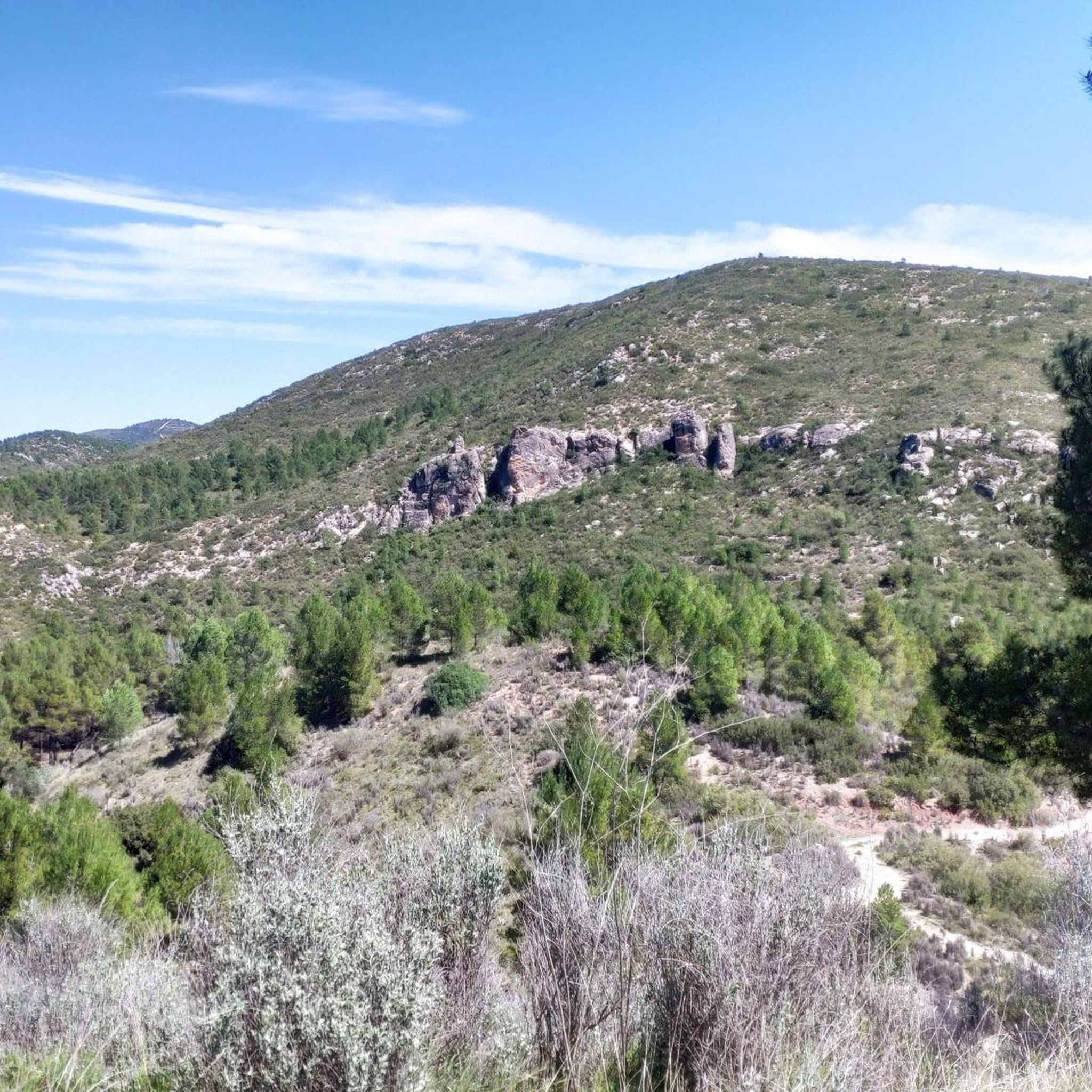
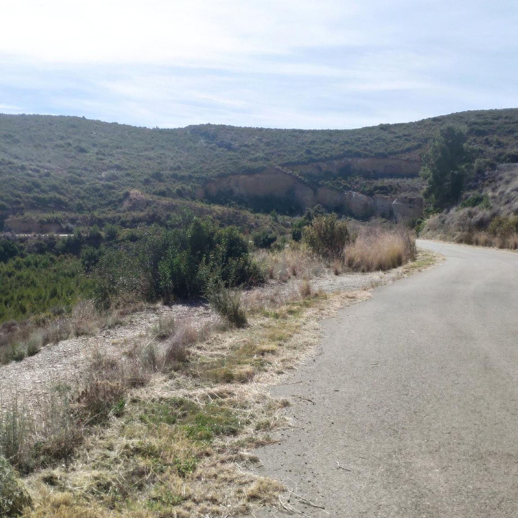
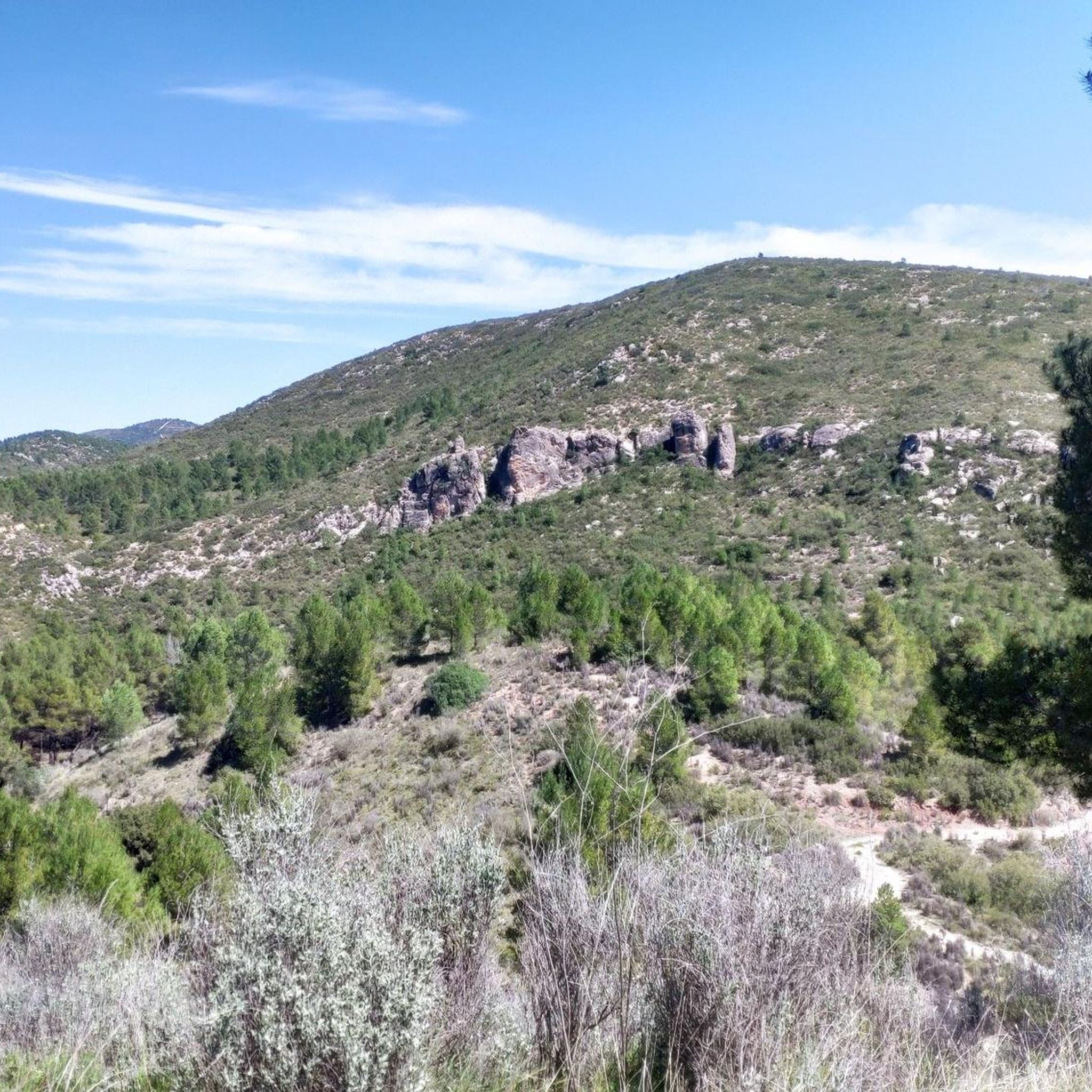
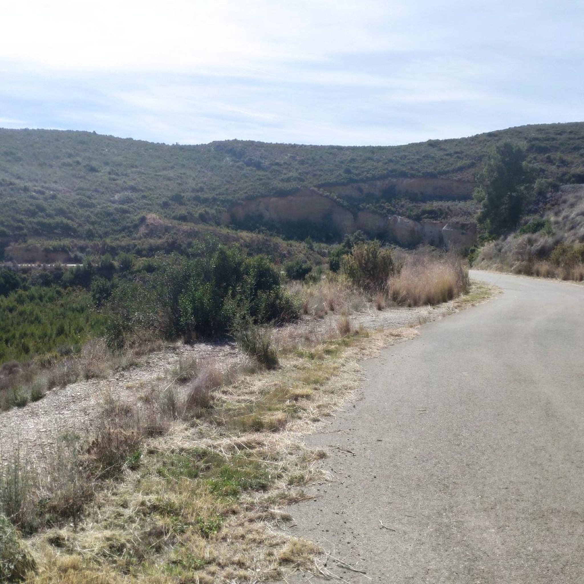
Tips from the Community

Road that connects the villages of Olocua and Marines Viejo. It is very narrow in some sections and with a significant number of vehicles, especially motorcycles on weekends. You should drive with caution
0
0

Fuente de los 15 caños. Arrival point to finish a road route, or a resting point before tackling the climb to Pico del Águila. Fresh water to replenish supplies.
0
0

Starting at the roundabout on the outskirts of Utiel, it's 11.5 km to climb 460m, which leaves an average gradient of 4%, where we have the first 6km with 150m at 2.5% to warm up the engines (although this part is busier), and then the last 5.5km which take the prize of the last 310m leaving this section quieter from cars, but with an average of 5.6% which also, gets steeper as it progresses.
0
0

Port de muntanya amb una pujada llarga i contínua, però amb pendent acceptable.
1
0
Port de muntanya amb una pujada llarga i contínua, però amb pendent acceptable.
1
0
The road is narrow but in excellent condition (as of 2025, it's so new it doesn't even have painted lines yet). It's 3.7 km long with an average gradient of 6.0% and a maximum gradient of 10.5%, for a total elevation gain of 221 m, reaching a summit of 409 m above sea level (according to official signage). After a short descent, you can connect to the Puerto del Barranco de la Escoba pass, or take the secondary road to climb La Marjana.
1
0
Narrow road but in very good condition. Linked from Gestalgar after the Gabaldón Pass, we find 2.8km at an average gradient of 4.8% with a maximum gradient of 9% for a difference in elevation of 135m, reaching a summit of 437m above sea level (according to the official signage).
1
0
Frequently Asked Questions
How many road cycling routes are available around Gestalgar?
There are nearly 40 road cycling routes around Gestalgar, offering a wide range of options for different skill levels. You'll find everything from moderate loops to challenging long-distance rides.
What is the best time of year for road cycling in Gestalgar?
Gestalgar's Mediterranean climate makes spring (March to May) and autumn (September to November) ideal for road cycling. Temperatures are pleasant, and the landscapes are vibrant. Summers can be hot, especially in July and August, so early morning rides are recommended then. Winters are generally mild, allowing for year-round cycling, though some higher passes might be cooler.
Are there any circular road cycling routes in Gestalgar?
Yes, many road cycling routes in Gestalgar are circular. For example, the Antenas de Pedralba – El Gabaldón Pass loop from Gestalgar is a popular moderate option, and the more challenging Barranco de la Tenrosa – Chulilla loop from Bugarra also forms a complete circuit.
What kind of terrain can I expect on road cycling routes in Gestalgar?
Road cycling routes in Gestalgar feature varied terrain, including river valleys and elevated passes. You can expect a mix of challenging climbs and scenic descents, often traversing through beautiful Mediterranean landscapes and natural areas.
Are there road cycling routes suitable for beginners in Gestalgar?
While many routes in Gestalgar are moderate to difficult, there are a few easier options available. These routes typically feature less elevation gain and shorter distances, providing a good starting point for those new to road cycling in the region. For example, the Antenas de Pedralba – El Gabaldón Pass loop from Gestalgar is a moderate route that could be a good introduction.
Where can I find parking for road biking trails in Gestalgar?
Parking is generally available in the towns and villages that serve as starting points for routes, such as Gestalgar itself or nearby Bugarra. Look for designated public parking areas, especially near the town centers, which often provide convenient access to the trailheads.
What are some notable viewpoints along the road cycling routes in Gestalgar?
The elevated passes and varied terrain of Gestalgar offer numerous scenic viewpoints. You might encounter stunning vistas from spots like El Frailecico Viewpoint, which provides panoramic views of the surrounding mountains and valleys. Routes that climb to higher elevations, such as those around Antenas de Pedralba, also offer expansive views.
What do other road cyclists enjoy most about cycling in Gestalgar?
The komoot community highly rates road cycling in Gestalgar, with an average score of 4.3 stars. Cyclists often praise the region's varied terrain, which includes both challenging climbs and scenic descents, as well as the beautiful natural landscapes and river valleys.
Are there any long-distance road cycling routes in Gestalgar?
Yes, Gestalgar offers several demanding long-distance routes. The Barranco de la Tenrosa – Chulilla loop from Bugarra is a significant challenge at over 165 km with substantial elevation gain, perfect for experienced riders seeking an extensive ride.
What natural attractions can I see near the road cycling routes?
The region around Gestalgar is rich in natural beauty. You can find attractions like the Buseo Reservoir, the impressive Waterfall and Pool at Barranco de la Hoz, or the unique Cueva de la Garita. Many routes pass close to these natural landmarks, offering opportunities for a scenic stop.
Are there challenging road bike routes for advanced cyclists in Gestalgar?
Absolutely. Gestalgar is known for its challenging routes with significant elevation gain. The Chulilla – Barranco de la Tenrosa loop from Bugarra, for instance, is a difficult 106 km route with over 1700 meters of climbing, providing a rigorous test for advanced cyclists.
Most popular attractions around Gestalgar

Get inspired with the komoot mobile app


Explore more
Browse the best Road cycling routes in other regions.
