The best walks and hikes around Ayódar
4.5
(472)
2,805
hikers
173
hikes
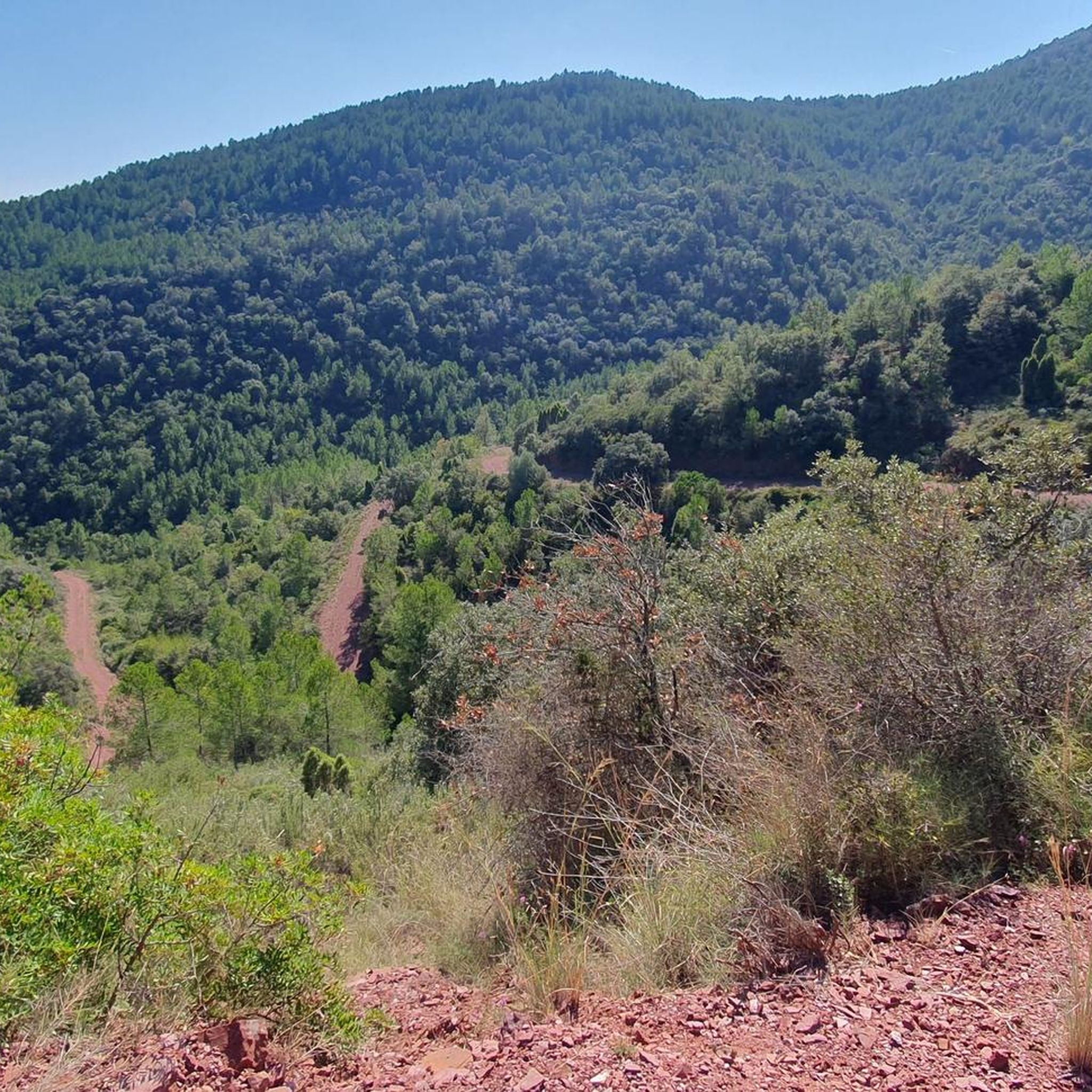
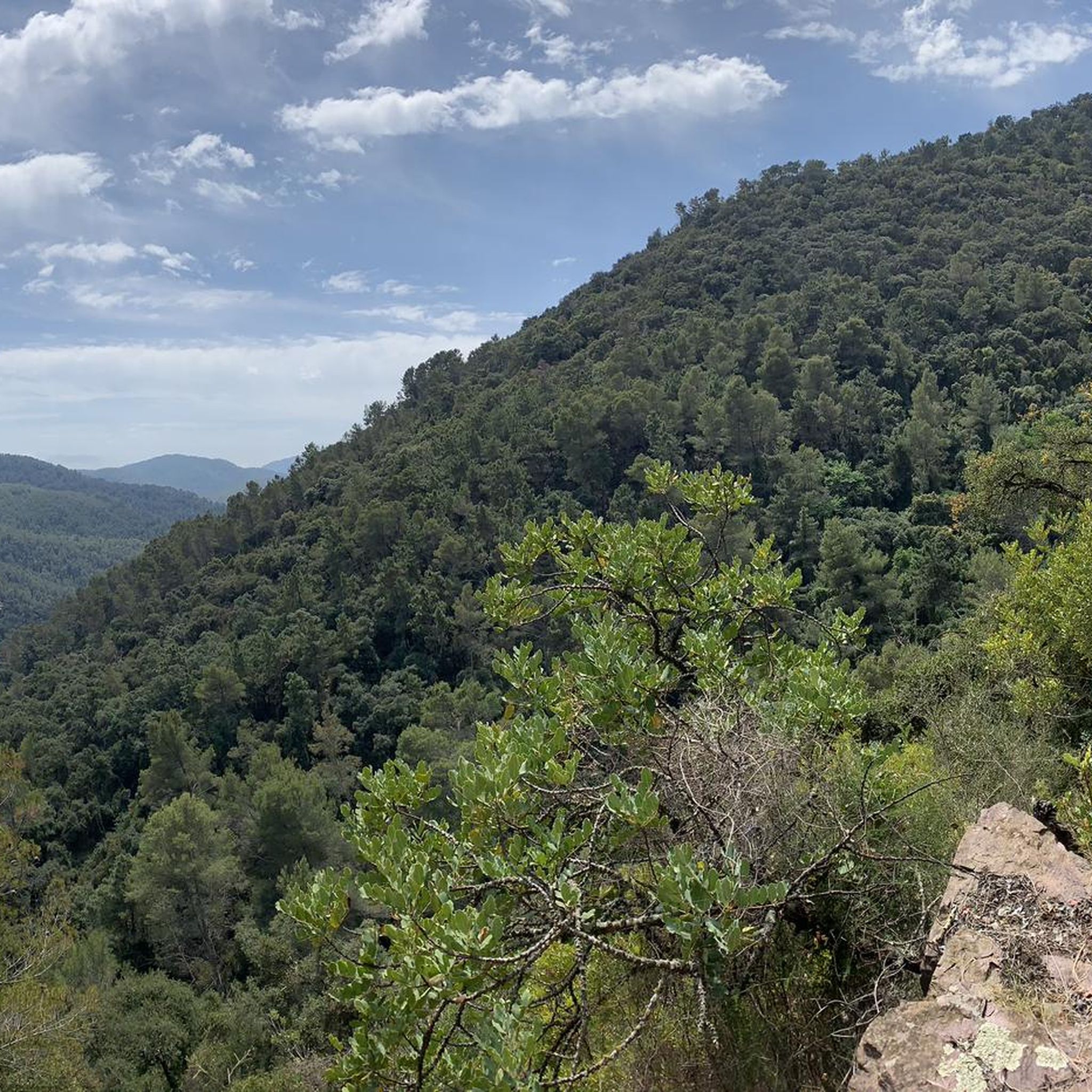
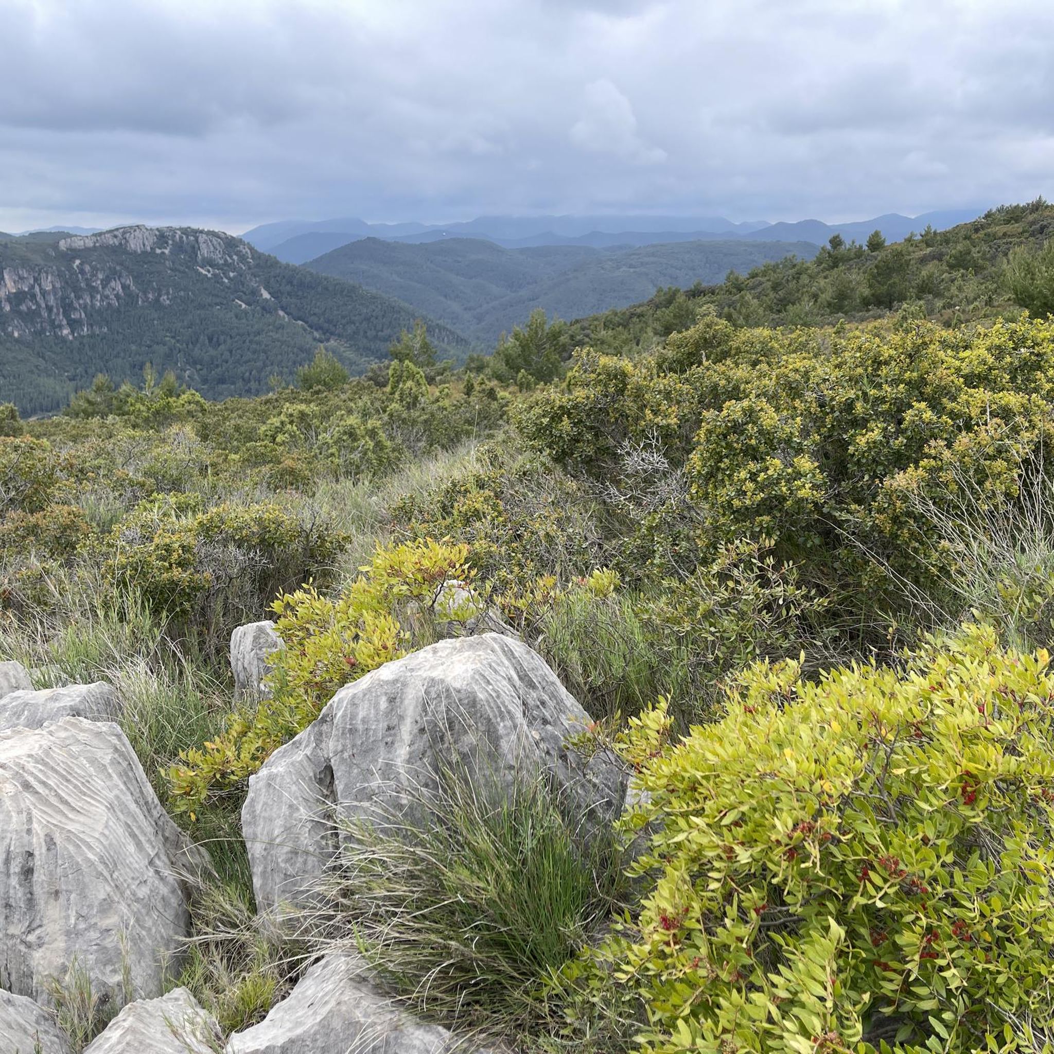
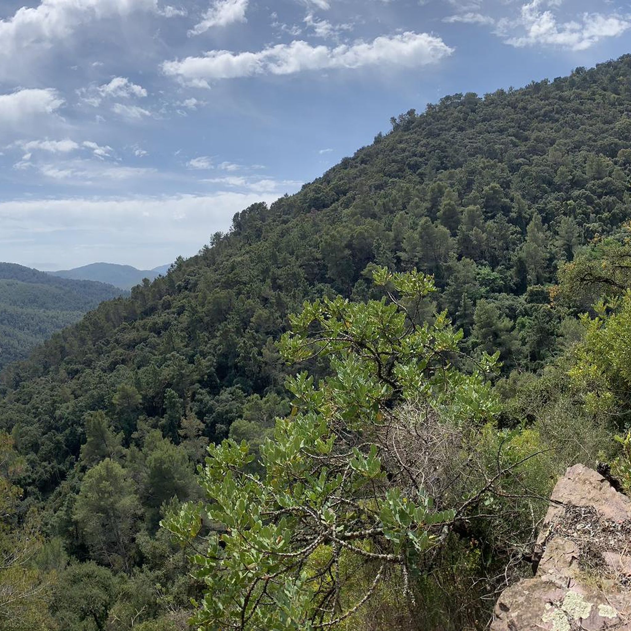
Hiking around Ayódar offers diverse terrain within the Sierra de Espadán Natural Park, characterized by hilly and mountainous landscapes. The region features extensive cork oak forests, sandstone outcrops, and the River Chico, which has sculpted numerous natural pools. Altitudes range from 382 meters in the village to higher peaks like Cueva Negra at 834 meters, providing varied elevation for hikers.
Best hiking trails around Ayódar
- The most popular hiking route is Peña Saganta PR-CV 314 Loop, a 6.5 miles…
Last updated: July 8, 2026
5.0
(11)
57
hikers
10.4km
04:15
480m
480m
Moderate hike. Good fitness required. Mostly accessible paths. Sure-footedness required.
4.5
(12)
59
hikers
4.95km
01:23
100m
100m
Easy hike. Great for any fitness level. Easily-accessible paths. Suitable for all skill levels.

Sign up for free
2.5
(2)
32
hikers
12.5km
03:59
420m
420m
Moderate hike. Good fitness required. Mostly accessible paths. Sure-footedness required.
5.0
(2)
21
hikers
8.99km
02:35
210m
220m
Moderate hike. Good fitness required. Easily-accessible paths. Suitable for all skill levels.
2.0
(1)
16
hikers
11.7km
03:32
370m
380m
Moderate hike. Good fitness required. Easily-accessible paths. Suitable for all skill levels.
Get access to more routes and recommendations from other explorers.
Sign up for free
Already have an account?
Our route recommendations are based on thousands of hikes, rides, and runs completed by other people on komoot.
Start today with a free account
Your next adventure awaits.
Login or Signup

Tips from the Community

You can leave your car in the parking lot. It costs €3 per person and must be paid in cash. You can reach the well via a wide track or a path that runs parallel to the track.
0
0


It is a charming town that offers the opportunity to enjoy the nature, culture and gastronomy of the Serranía Celtibérica region. If you pass by here, it is worth visiting.
2
0

It is interesting to arrive in time to go down to the Pozo Negro, you can swim in summer
0
0
fantastic views, an easy and fun route, and very cool, ideal for summer
0
0

At 726 meters above sea level, the top of Peña Saganta offers wonderful views. It is reached by a path without too much technical difficulty, although it is advisable to be well prepared, bring plenty of water, suitable footwear and hiking sticks.
3
0
Frequently Asked Questions
How many hiking trails are available around Ayódar?
Ayódar offers a wide variety of hiking opportunities, with over 170 trails recorded on komoot. These routes cater to different preferences, including easy riverside walks and more challenging mountain ascents within the Sierra de Espadán Natural Park.
What kind of terrain can I expect on hikes in Ayódar?
The terrain around Ayódar is diverse, characterized by hilly and mountainous landscapes. You'll encounter extensive cork oak forests, unique sandstone outcrops, and the River Chico, which has carved out numerous natural pools. Elevations range from 382 meters in the village up to peaks like Cueva Negra at 834 meters, providing varied ascents and descents.
Are there any easy hiking trails suitable for beginners or families?
Yes, Ayódar has several easy trails. For instance, the El Pozo Negro loop from Fuentes de Ayódar is an easy 3.1-mile (5.0 km) path that explores the River Chico and the notable Pozo Negro natural pool. Overall, there are 35 easy routes available, perfect for a relaxed outing.
Can I find trails with natural pools or waterfalls in the area?
Absolutely. The River Chico is a central feature of the region, known for its natural pools and channels. The famous Pozo Negro (Black Pool) is a prime example, offering a refreshing wild swimming spot. You can explore this area on routes like the El Pozo Negro loop from Fuentes de Ayódar. Additionally, the Salto de la Novia of Cirat is a notable waterfall nearby.
What historical sites or landmarks can I discover while hiking?
Hikers can explore the ruins of an old Muslim castle, with its Keep still standing, offering historical interest and scenic views. The region also features natural landmarks like the impressive Peña Saganta Summit, a 723-meter high rocky mass providing spectacular panoramic views. For those interested in unique geological formations, the Órganos de Benitandús are also worth a visit.
Are there any circular hiking routes around Ayódar?
Many of the trails around Ayódar are designed as loops, allowing you to start and end in the same location. For example, the popular Peña Saganta PR-CV 314 Loop is a moderate 6.5-mile (10.4 km) circular route offering panoramic views. Another option is the Torralba del Pinar – El Pozo Negro loop from Torralba del Pinar, which covers 7.8 miles (12.5 km) through varied forest and river landscapes.
What do other hikers enjoy most about the trails in Ayódar?
The trails in Ayódar are highly rated by the komoot community, with an average score of 4.5 stars from over 400 reviews. Hikers frequently praise the beautiful natural pools, the lush cork oak forests, and the varied hilly terrain within the Sierra de Espadán Natural Park. The well-maintained paths and stunning panoramic viewpoints, especially from places like Peña Saganta Summit, are also often highlighted.
Are there trails that offer panoramic views?
Yes, the mountainous topography of Ayódar provides numerous opportunities for stunning panoramic views. Peña Saganta Summit, at 723 meters high, is a highly recommended viewpoint offering spectacular vistas of the Mijares Valley. Many routes, such as the Peña Saganta PR-CV 314 Loop, are designed to take advantage of these scenic spots.
Is Ayódar a good destination for more challenging hikes?
Ayódar offers a range of challenges for hikers. While there are easy routes, the varied mountainous topography, with peaks like Cueva Negra reaching 834 meters, provides opportunities for more demanding treks. There are 19 difficult routes available, ensuring experienced hikers can find suitable challenges.
What is the best time of year to go hiking in Ayódar?
Ayódar's natural beauty, particularly its cork oak forests and natural pools, makes it appealing throughout much of the year. The warmer months are especially popular for enjoying the refreshing wild swimming spots like Pozo Negro. Spring and autumn offer pleasant temperatures for hiking, while the lush landscapes are beautiful in any season.
Are dogs allowed on the hiking trails in Ayódar?
Generally, dogs are permitted on hiking trails in natural parks in Spain, often requiring them to be on a leash to protect wildlife and ensure the safety of other hikers. It's always advisable to check specific regulations for the Sierra de Espadán Natural Park or individual trails before heading out with your dog.
Are there any places to explore caves in the Ayódar area?
For those seeking more adventurous exploration, the region around Ayódar features notable natural caves. The caves of Juan Lentejas and Peñalta are known attractions that can be explored, offering a different kind of outdoor experience.
Most popular attractions around Ayódar

Get inspired with the komoot mobile app


Explore more
Browse the best Hikes in other regions.
