The best running trails around Espeja De San Marcelino
122
runners
25
runs
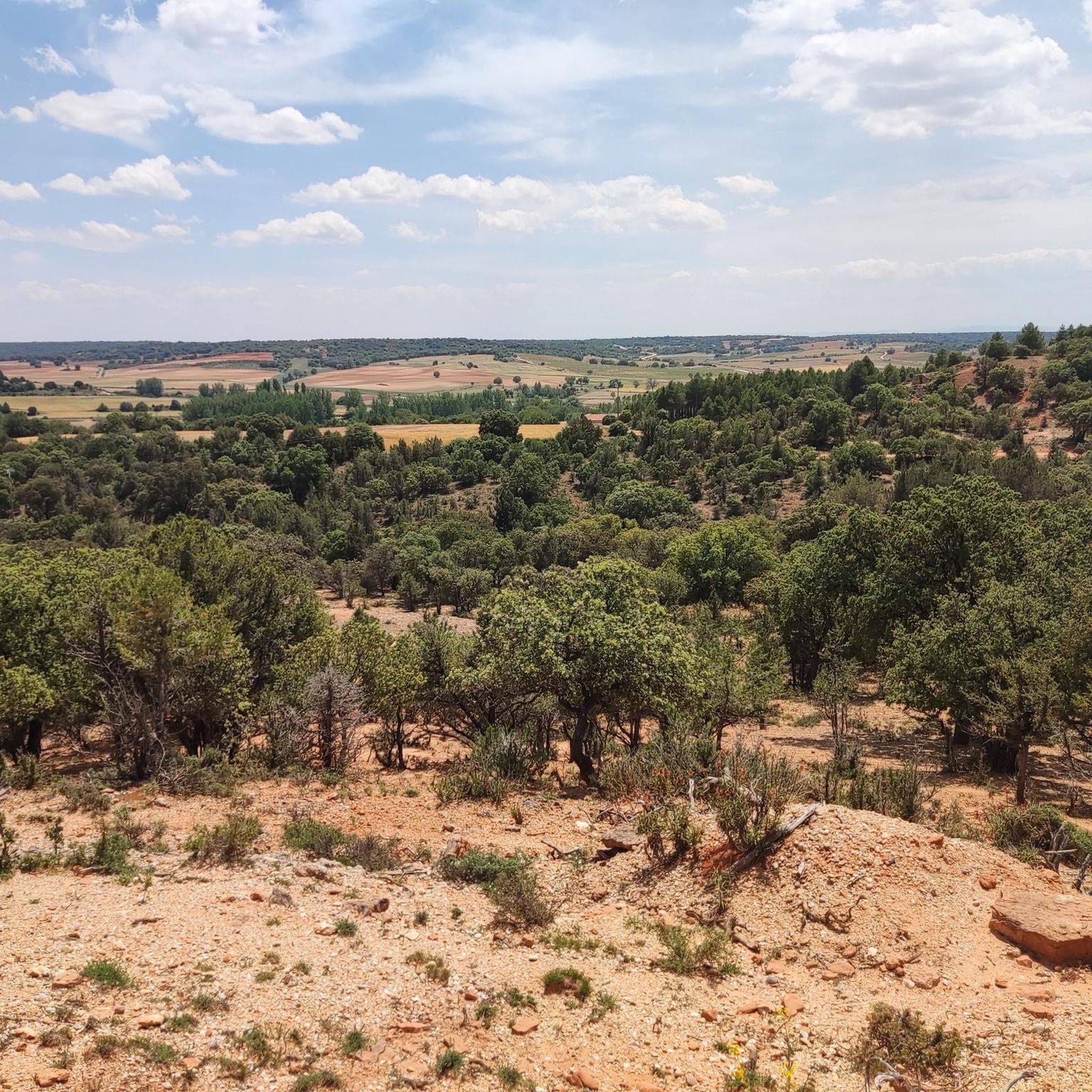
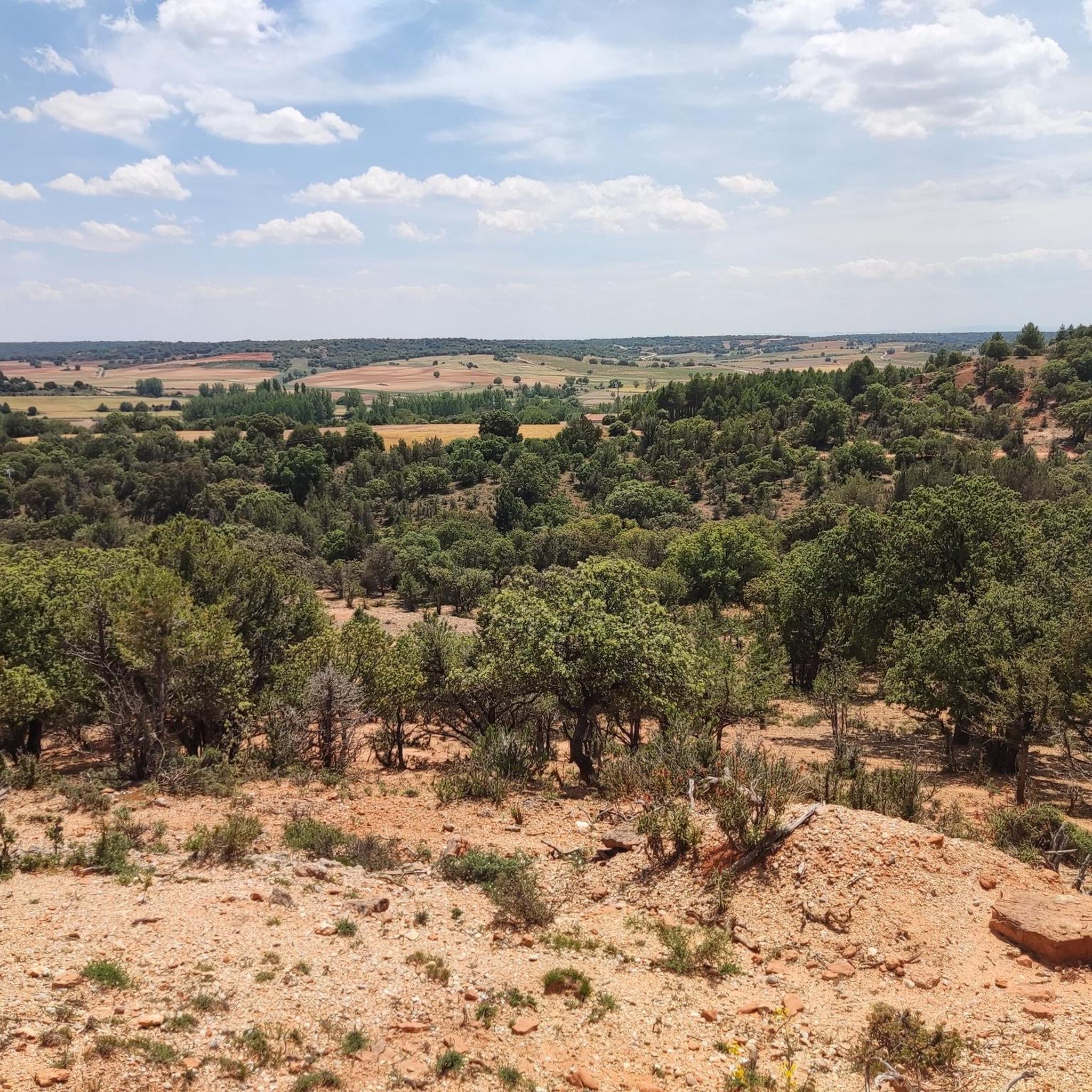
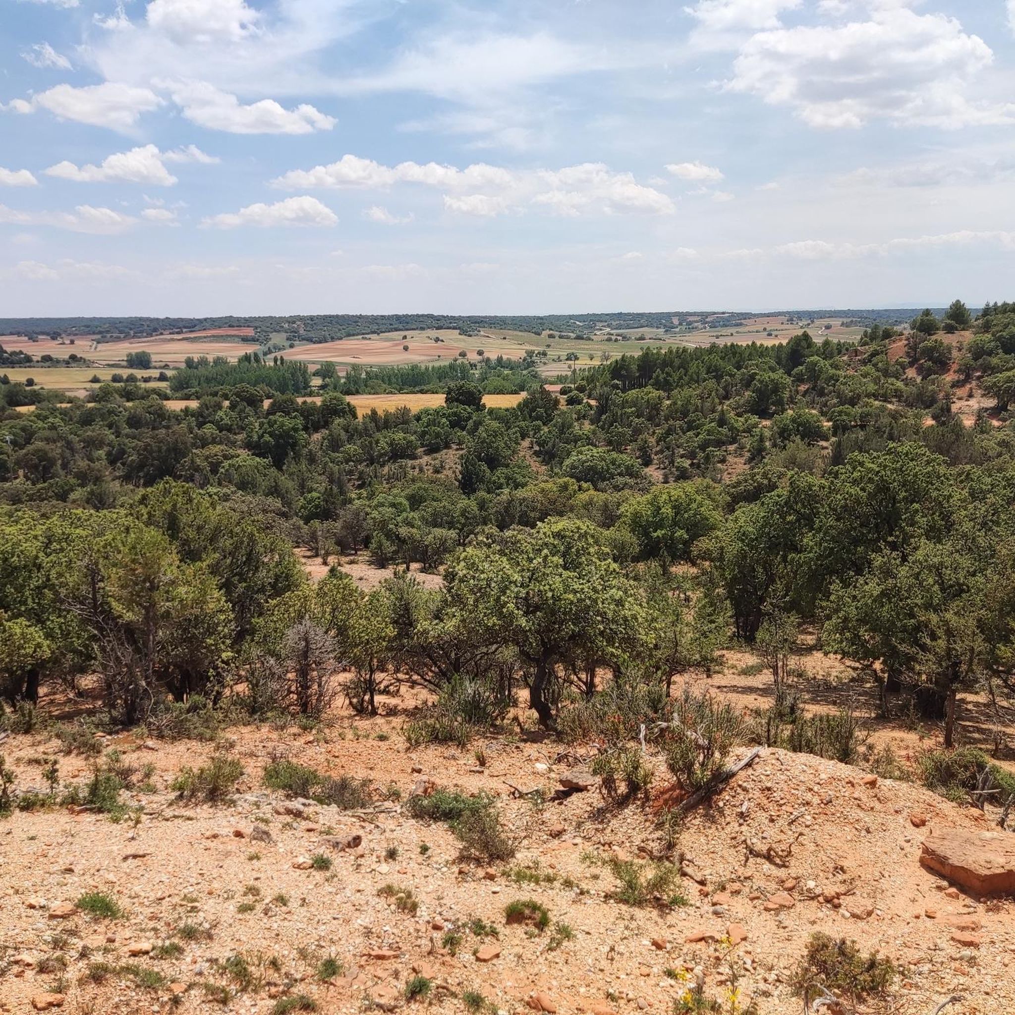
Jogging routes around Espeja De San Marcelino traverse a diverse landscape, situated between the extensive pine forests of northern Soria and the fertile plains of the Duero. The region features notable natural formations such as the Cañón del Río Lobos, offering varied terrain alongside the river. Runners can explore rocky areas, gorges like Desfiladero de la Torca, and paths along the River Espeja. The area also provides views of the Sierra de Urbión and Sierra de Neila foothills, with routes…
Last updated: October 29, 2026
17
runners
Hard run. Very good fitness required. Sure-footedness, sturdy shoes and alpine experience required.
9
runners
11.7km
01:18
160m
160m
Moderate run. Good fitness required. Mostly paved surfaces.

10
runners
10.5km
01:17
200m
200m
Moderate run. Good fitness required. Mostly paved surfaces.
5
runners
10.2km
01:04
110m
110m
Moderate run. Good fitness required. Mostly paved surfaces.
6
runners
Moderate run. Good fitness required. Mostly paved surfaces.
Get access to more routes and recommendations from other explorers.
Already have an account?
Our route recommendations are based on thousands of hikes, rides, and runs completed by other people on komoot.
Start today with a free account
Your next adventure awaits.

Tips from the Community

Spectacular area for hiking routes
0
0
A magical place, surrounded by nature
0
0

Huerta de Rey is a Spanish municipality and town located in the province of Burgos, in the Sierra de la Demanda mountain range. Historically, it is known for being listed in the Guinness Book of World Records due to the large number of unusual names among its inhabitants, a tradition that originated in the early 20th century to distinguish people with common surnames. The town is also notable for its natural surroundings, which are part of the Wool Route and the Camino del Cid, and for its Gothic church of San Pelayo, a building that survived a devastating fire in 1918.
3
0


The Hermitage of San Bartolomé is a fascinating church located in the Cañón del Río Lobos Natural Park, in the communities of Herrera de Soria, Nafría de Ucero, and Ucero. Built in the first quarter of the 13th century, in a style that transitions from Romanesque to Gothic.
4
0
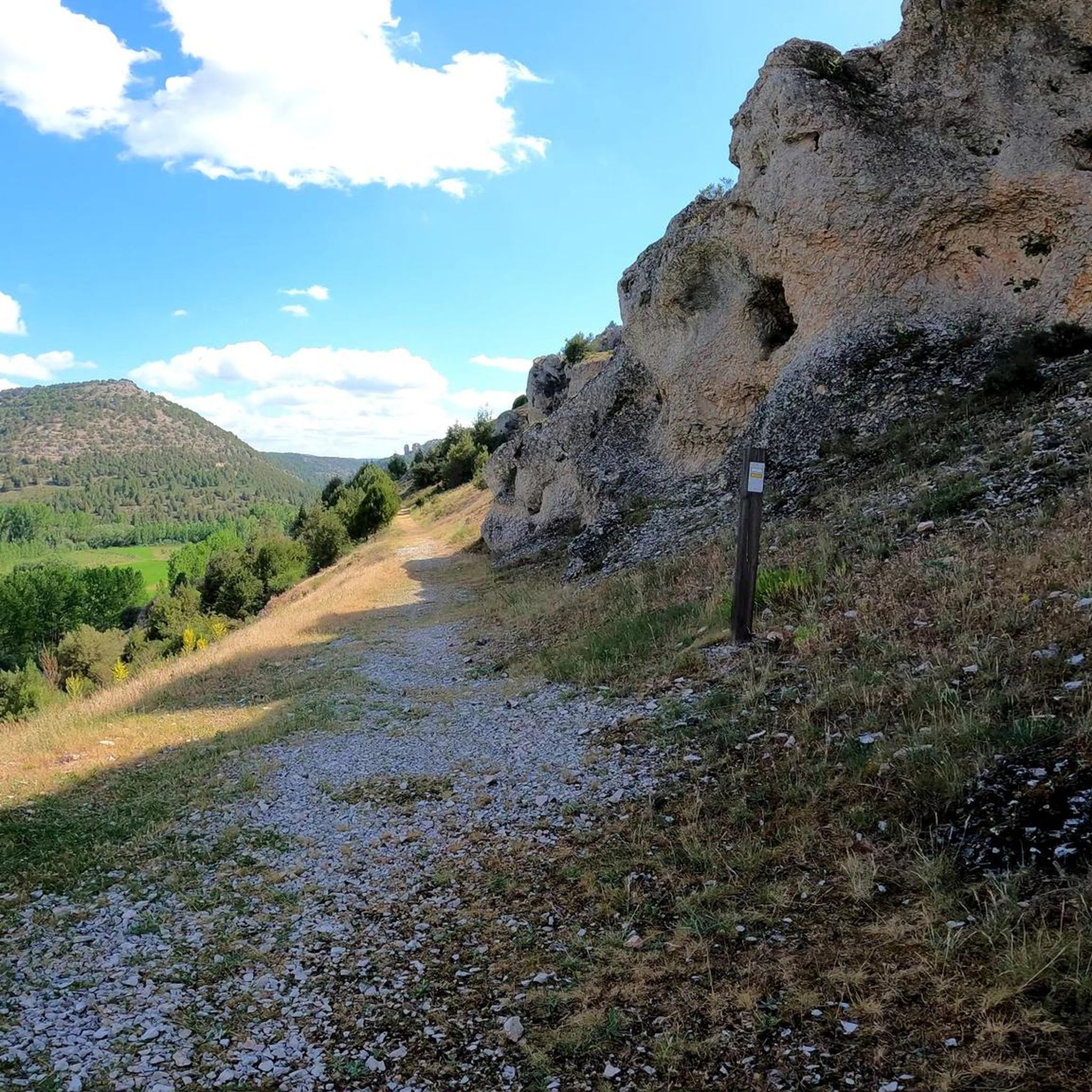
The large cave, a large cavity in an idyllic landscape, which is the surroundings of the hermitage of San Bartolomé
0
1
Another beautiful trail runs through here, the PRC SO-49, the Cañada Real de las Merinas Trail.
1
0

Remarkable 13th-century hermitage with transitional Romanesque architecture and Arabic influences in its two rose windows. The best thing is its location, in a beautiful spot at the southern end of the Río Lobos Gorge. The parking lot is one kilometer away and the path to the hermitage is easy and pleasant, flat, along the Lobos River
1
0
Frequently Asked Questions
How many running routes are available in Espeja De San Marcelino?
There are over 20 dedicated jogging routes around Espeja De San Marcelino, offering a variety of distances and difficulties to explore the region's diverse landscapes.
What is the best time of year for jogging in this region?
The most pleasant temperatures for running in Espeja de San Marcelino are typically during spring and autumn. These seasons offer ideal conditions to enjoy the natural splendor without extreme heat or cold, making them perfect for exploring the trails.
Are there running routes suitable for beginners or those looking for an easy jog?
While there are no routes specifically classified as 'easy' in our current selection, there are 14 moderate jogging paths available. These routes offer a good balance for those seeking a less strenuous experience compared to the more challenging trails. An example of a moderate route is the Aldea del Pinar loop from Rabanera del Pinar, which is 7.8 miles (12.6 km) long.
What kind of terrain can I expect on the jogging trails around Espeja De San Marcelino?
The region offers a diverse mix of terrains, situated between the extensive pine forests of northern Soria and the fertile plains of the Duero. You'll find routes traversing pine forests, river valleys, rocky areas, and dramatic gorges like the Cañón del Río Lobos. Some trails also offer views of the Sierra de Urbión and Sierra de Neila foothills.
Are there any circular jogging routes in the area?
Yes, many of the running routes in Espeja de San Marcelino are circular, allowing you to start and finish at the same point. For instance, the challenging Hermitage of Saint Bartholomew – Boca del Ocejo loop from Parque Natural del Cañón del Río Lobos is a popular circular option, as is the moderate Pilón loop from Rabanera del Pinar.
Can I bring my dog on the jogging trails?
The Cañón del Río Lobos Natural Park, a significant feature of the region, is part of the Natura 2000 network. While many trails are dog-friendly, it's always best to check specific regulations for each route or protected area, as rules can vary, especially concerning wildlife protection. Generally, dogs should be kept on a leash.
Are there any family-friendly jogging routes?
For families, moderate routes that avoid significant elevation changes and very long distances would be most suitable. Consider routes like the Aldea del Pinar loop from Aldea del Pinar, which is 7.3 miles (11.7 km) and winds through varied natural scenery, offering a pleasant experience for active families.
What interesting landmarks or natural features can I see along the jogging routes?
Many routes pass by stunning natural features. You can encounter the dramatic landscapes of the Boca del Ocejo, the unique Devil's Eye (Natural Rock Arch), or the intriguing Río Lobos Sinkhole. The region is also known for its gorges, such as Hoz de Orillares Gorge and Caves, and the historic Bridge of the Seven Eyes.
Where can I find parking near the jogging routes?
While specific parking areas aren't detailed for every route, many trailheads, especially those within or near natural parks like Cañón del Río Lobos, typically have designated parking facilities. For routes starting from villages like Rabanera del Pinar or Aldea del Pinar, you can often find street parking or small public parking areas within the village.
What do other runners enjoy most about jogging in Espeja De San Marcelino?
Runners frequently praise the region's varied terrain and stunning natural beauty. The mix of pine forests, river valleys, and dramatic canyons provides a constantly changing backdrop, and the opportunity to spot wildlife like griffon vultures in areas like Cañón del Río Lobos adds to the immersive experience. The well-documented trails on komoot also make navigation straightforward.
Are there any long-distance jogging routes for experienced runners?
Yes, for those seeking a longer challenge, the region offers several routes. The most extensive is the Hermitage of Saint Bartholomew – Boca del Ocejo loop from Parque Natural del Cañón del Río Lobos, which spans 13.5 miles (21.7 km) and is classified as difficult, making it ideal for experienced runners looking for a significant workout.
Are there any viewpoints along the jogging trails?
Given the region's location in the foothills of the Sierra de Urbión and Sierra de Neila, many routes offer breathtaking mountain backdrops and scenic vistas. Trails within the Cañón del Río Lobos also provide stunning views of the canyon's whimsical vertical walls and the river below, especially around areas like the Boca del Ocejo.
Most popular routes around Espeja De San Marcelino
Most popular attractions around Espeja De San Marcelino

Get inspired with the komoot mobile app


Explore more
Browse the best Running Trails & Routes in other regions.
