The best walks and hikes around Numancia De La Sagra
4.6
(5)
34
hikers
18
hikes
Hiking around Numancia De La Sagra offers a variety of routes through a landscape characterized by generally flat to gently rolling terrain. The region features a mix of open countryside, agricultural areas, and paths connecting historical centers. Elevation changes are typically modest, making many trails accessible for various fitness levels.
Best hiking trails around Numancia De La Sagra
- The most popular hiking route is Esquivias to Valdemoro Trail Loop, a 9.2 miles (14.8 km) trail that takes 3 hours…
Last updated: July 8, 2026
4.0
(1)
2
hikers
14.8km
03:55
150m
150m
This moderate 9.2-mile (14.8 km) hiking loop from Esquivias to Valdemoro offers field trails, the Hermitage of Santa Barbara, and a viewpoin
2.21km
00:38
50m
50m
Easy hike. Great for any fitness level. Easily-accessible paths. Suitable for all skill levels.

Sign up for free
4.7
(3)
11
hikers
11.2km
02:54
70m
70m
Moderate hike. Good fitness required. Easily-accessible paths. Suitable for all skill levels.
7
hikers
6.96km
01:50
60m
60m
Easy hike. Great for any fitness level. Easily-accessible paths. Suitable for all skill levels.
6
hikers
Moderate hike. Good fitness required. Easily-accessible paths. Suitable for all skill levels.
Get access to more routes and recommendations from other explorers.
Sign up for free
Already have an account?
Our route recommendations are based on thousands of hikes, rides, and runs completed by other people on komoot.
Start today with a free account
Your next adventure awaits.
Login or Signup

Tips from the Community

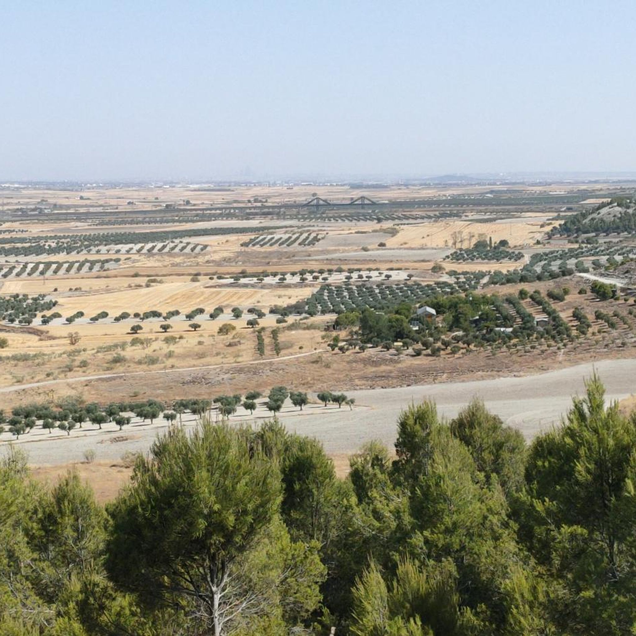
Path that runs between beautiful fields of cereals and olive trees northeast of Esquivias. Beautiful, especially in spring, with its bright green. But after the rains there can be mud, prepare your boots just in case.
1
0
A balcony-viewpoint where you can see practically the entire Sagra. A beautiful place to walk through nature, which is something totally different in the entire area.
1
0
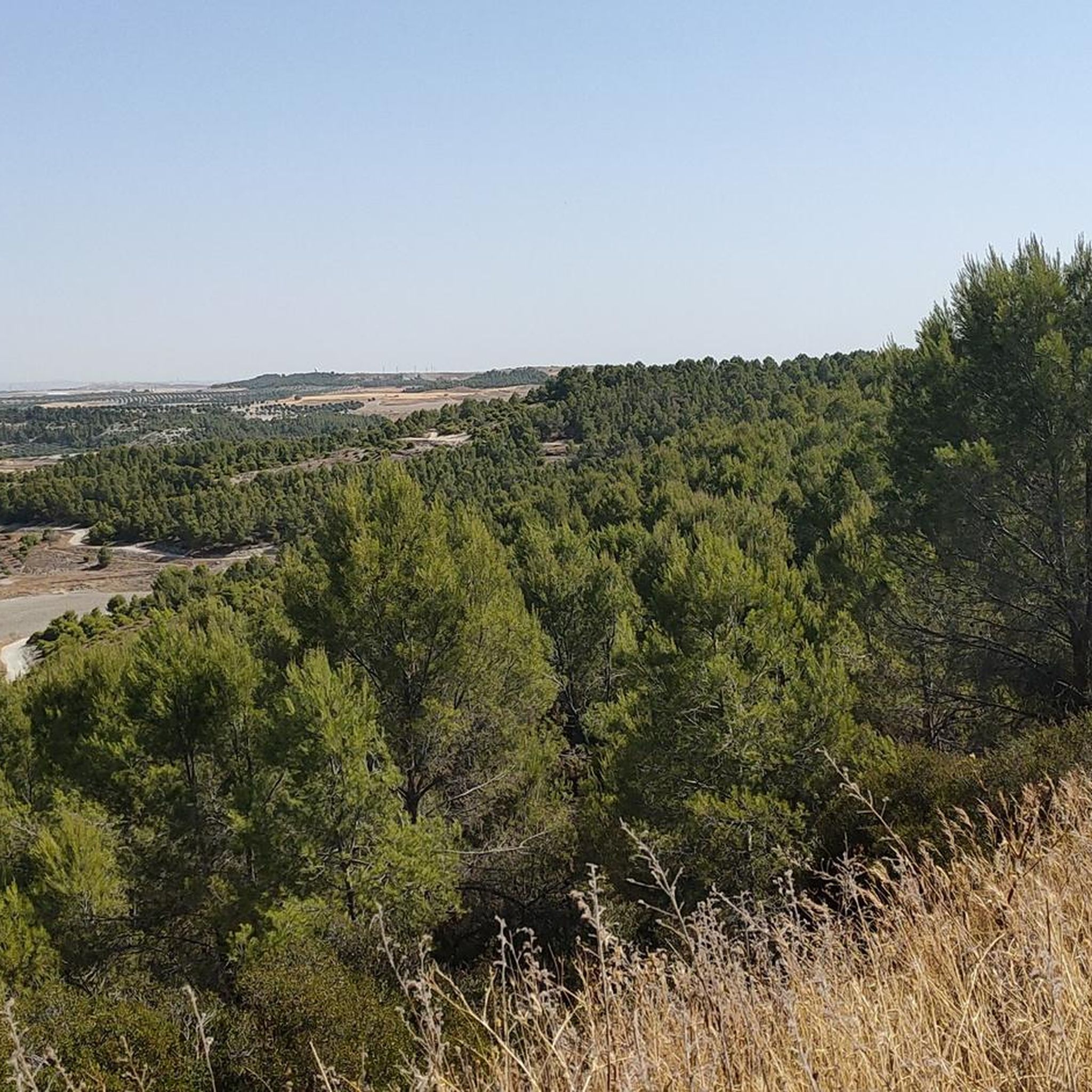
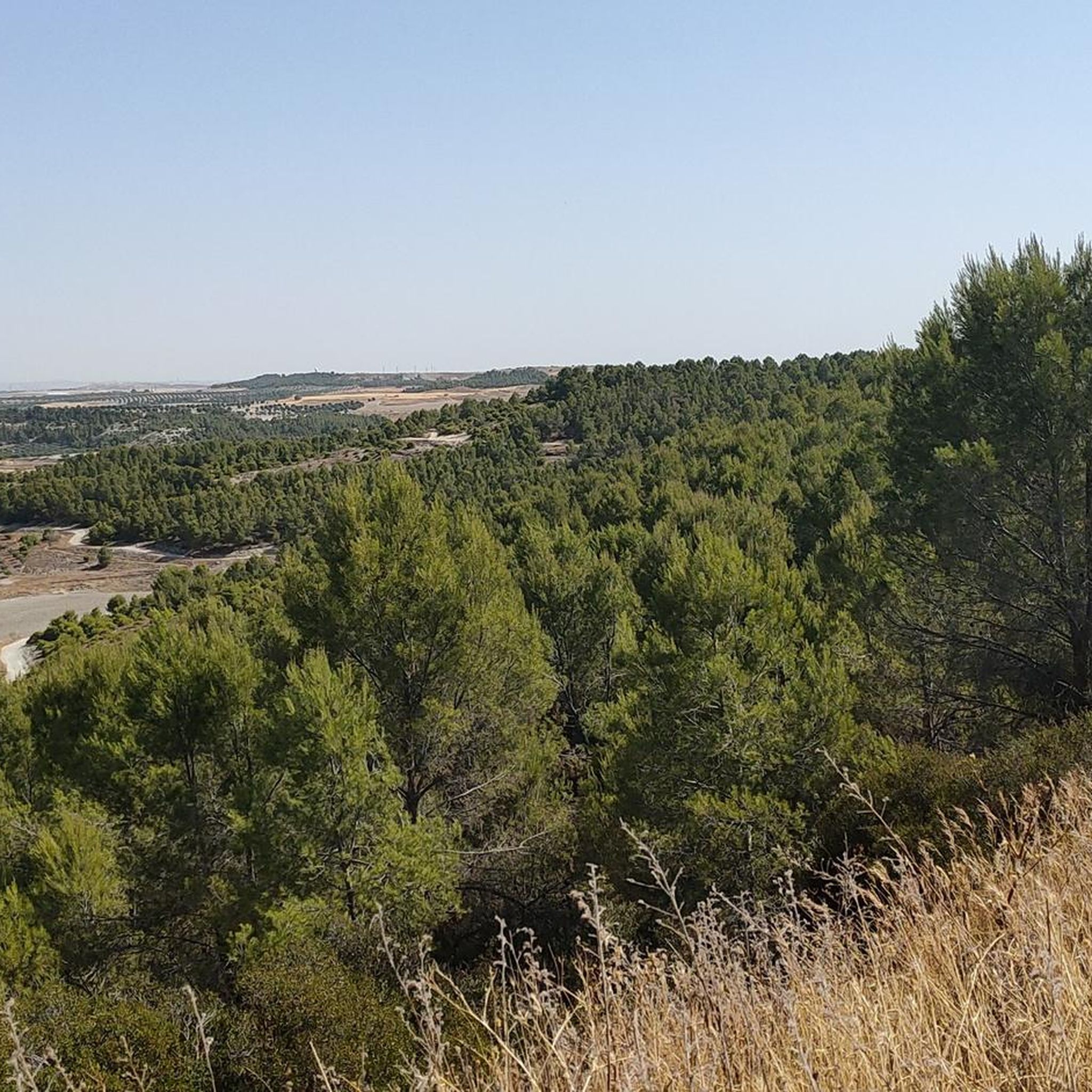
The Ermita De Santa Bárbara is located at the top of the hill of the same name and is also the highest point in the town of Esquivias. Very close you can find a viewpoint. It is a very quiet place with spectacular views.
0
0
Although it is officially called the Cerro de Santa Bárbara, they call it the Cerro de la Cruz, after a cross that is located along with the geodesic vertex. The hill is not high but offers good views of the town of Esquivias.
0
0

Due to its proximity to Madrid (which is at the same distance as Toledo), Illescas is one of the fastest growing municipalities in the province of Toledo. Even so, its historic center with its narrow streets remains a quiet place to sneak away and enjoy the Puerta de Ugena de Alfonso VI, the church of the Asunción from the 13th century, and the Hospital de Nuestra Señora de La Caridad with five paintings of El Greek.
2
1
Frequently Asked Questions
How many hiking trails are available in Numancia De La Sagra?
There are nearly 20 hiking trails around Numancia De La Sagra, offering a variety of options for different fitness levels. The region features a mix of open countryside and paths connecting historical centers.
Are there easy hiking trails suitable for beginners in Numancia De La Sagra?
Yes, Numancia De La Sagra offers 6 easy hiking trails. The terrain is generally flat to gently rolling, making many routes accessible for beginners. An excellent option is the Cerro de la Cruz — round trip from Esquivias, which is a short 2.2 km path with a gentle ascent.
What kind of terrain can I expect on hikes around Numancia De La Sagra?
Hiking around Numancia De La Sagra is characterized by open countryside, agricultural areas, and paths that connect various towns and historical centers. The elevation changes are typically modest, with generally flat to gently rolling terrain.
Are there any circular hiking routes in Numancia De La Sagra?
Yes, many of the trails in the area are circular. For example, the Historic Center of Illescas – Fuente de los Leones loop from Illescas is a popular 6.9 km loop that takes you through both urban and natural areas.
What are some longer hiking options in the Numancia De La Sagra area?
For those looking for longer hikes, the region offers several moderate routes. The Esquivias to Valdemoro Trail Loop is a 14.8 km trail connecting two towns, typically completed in under 4 hours.
Are there any family-friendly walks in Numancia De La Sagra?
Given the generally modest elevation changes and accessible terrain, many of the easy trails are suitable for families. The shorter, well-defined paths connecting towns or leading to local points of interest are ideal for walks with children.
What can I see along the hiking trails in Numancia De La Sagra?
The trails often pass through agricultural landscapes and connect historical centers. You might encounter local landmarks such as the La Teja Spring and the Hermitage of San Isidro or the Puñoenrostro Castle. The Arched Stone Bridge in Casarrubuelos Park is another interesting sight.
What do other hikers enjoy most about hiking in Numancia De La Sagra?
The komoot community rates the hiking experience in Numancia De La Sagra highly, with an average score of 4.3 stars. Hikers often appreciate the accessible trails, the peaceful open countryside, and the opportunity to explore paths connecting various local towns.
Is Numancia De La Sagra suitable for winter hiking?
While the region generally experiences mild winters, it's always advisable to check local weather conditions. The mostly flat and open terrain means trails are less likely to be impacted by heavy snow or ice compared to mountainous regions, but proper layering is recommended.
Are there any viewpoints along the hiking trails in Numancia De La Sagra?
While the region is generally flat, some routes offer gentle ascents to local hills, providing views of the surrounding agricultural landscape and towns. The Cerro de la Cruz — round trip from Esquivias, for instance, offers views from a local hill.
Are there any dog-friendly hiking trails in Numancia De La Sagra?
Many of the open countryside trails in Numancia De La Sagra are suitable for walking with dogs, provided they are kept under control. Always ensure to follow local regulations regarding pets on trails and be mindful of agricultural areas.
What is the best time of year to hike in Numancia De La Sagra?
Spring and autumn generally offer the most pleasant hiking conditions in Numancia De La Sagra, with milder temperatures. Summer can be hot due to the open terrain, so early morning or late afternoon hikes are recommended during this season.
Are there any hidden gem hiking trails in Numancia De La Sagra?
While the region is known for its accessible paths, exploring the less-traveled routes connecting smaller villages can reveal charming local landscapes and quiet stretches of countryside. The komoot app can help you discover these lesser-known paths.
Most popular routes around Numancia De La Sagra
Most popular attractions around Numancia De La Sagra

Get inspired with the komoot mobile app


Explore more
Browse the best Hikes in other regions.
