The best walks and hikes around Los Navalucillos
4.8
(27)
230
hikers
21
hikes
Hiking around Los Navalucillos offers access to diverse natural environments within the Montes de Toledo, including a significant portion of the Cabañeros National Park. The terrain features river valleys, such as the Pusa River, and notable elevations like Pico Rocigalgo, the highest mountain in Toledo province. Hikers can explore areas characterized by waterfalls, dense Mediterranean forests, and unique quartzite rock formations. This region provides varied landscapes for outdoor activities, from gentle river walks to challenging mountain ascents.
Best hiking trails…
Last updated: May 11, 2026
4.1
(7)
62
hikers
8.23km
02:27
170m
170m
Moderate hike. Good fitness required. Mostly accessible paths. Sure-footedness required.
5.0
(4)
43
hikers
19.9km
06:42
820m
820m
Hard hike. Very good fitness required. Mostly accessible paths. Sure-footedness required.

Sign up for free
5.0
(1)
6
hikers
8.58km
02:22
150m
150m
Moderate hike. Good fitness required. Easily-accessible paths. Suitable for all skill levels.
3
hikers
20.0km
06:44
830m
830m
Hard hike. Very good fitness required. Mostly accessible paths. Sure-footedness required.
4.58km
01:15
70m
70m
Easy hike. Great for any fitness level. Easily-accessible paths. Suitable for all skill levels.
Get access to more routes and recommendations from other explorers.
Sign up for free
Already have an account?
Our route recommendations are based on thousands of hikes, rides, and runs completed by other people on komoot.
Start today with a free account
Your next adventure awaits.
Login or Signup
Tips from the Community

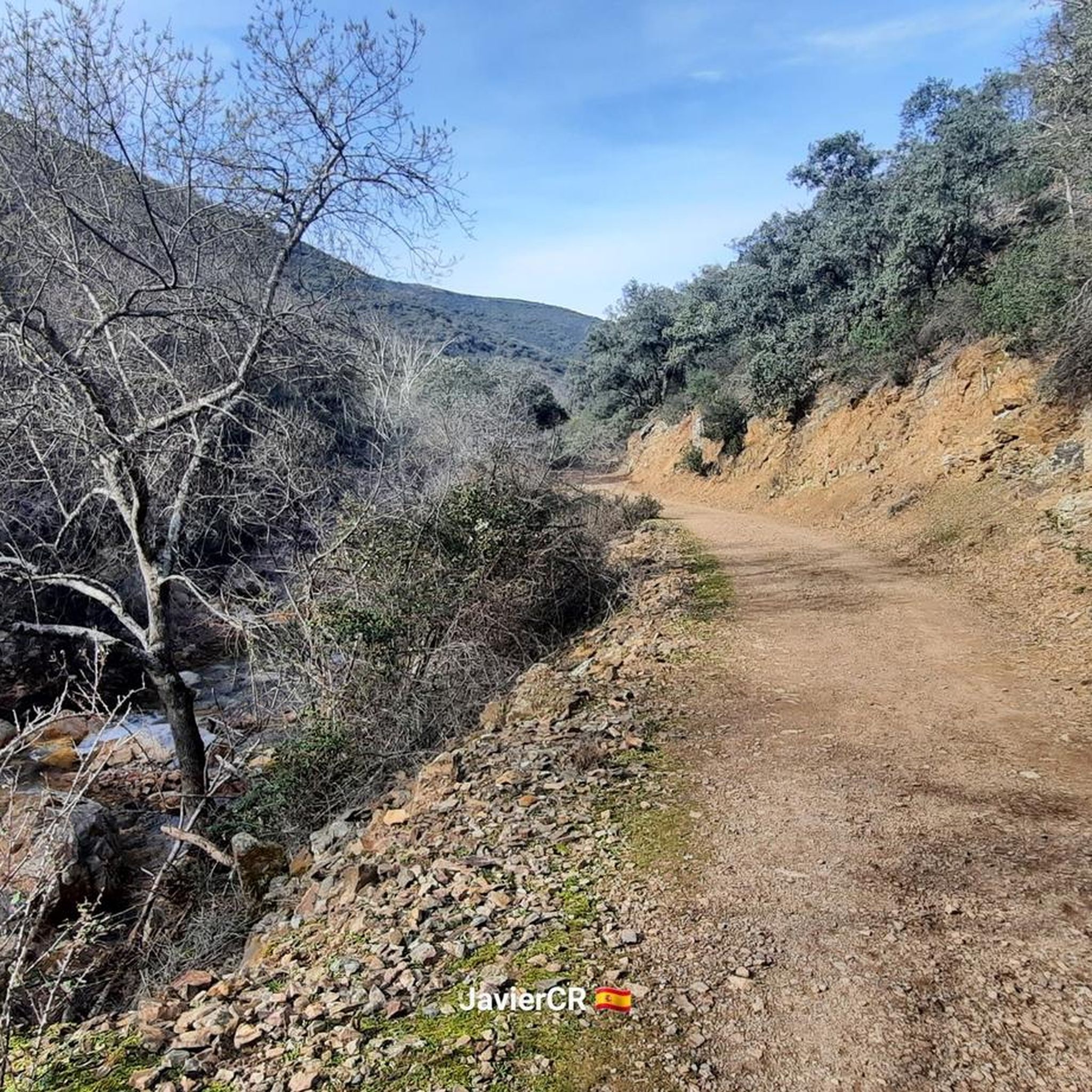
The path continues to gain height and, after crossing a rocky section with the help of chains – which is very helpful if the ground is wet – reaches the Chorrera Chica. It will not be difficult to observe the flight of some birds of prey or the griffon vultures, very present in the skies of Cabañeros, and, with a little more luck, come across a deer that comes to drink from the stream.
3
0

Great tour so far! Pure action and nature romance! You can see it here in my national park video: https://youtu.be/y3I6zuf-f2I
2
1
Great tour with action and nature romance. Seen here in my video: https://youtu.be/y3I6zuf-f2I
3
0

The highest point of the Sierra de la Arañosa.
1
1
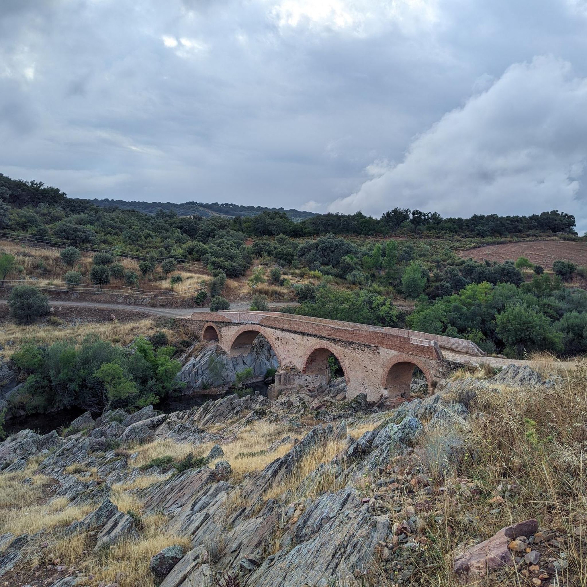
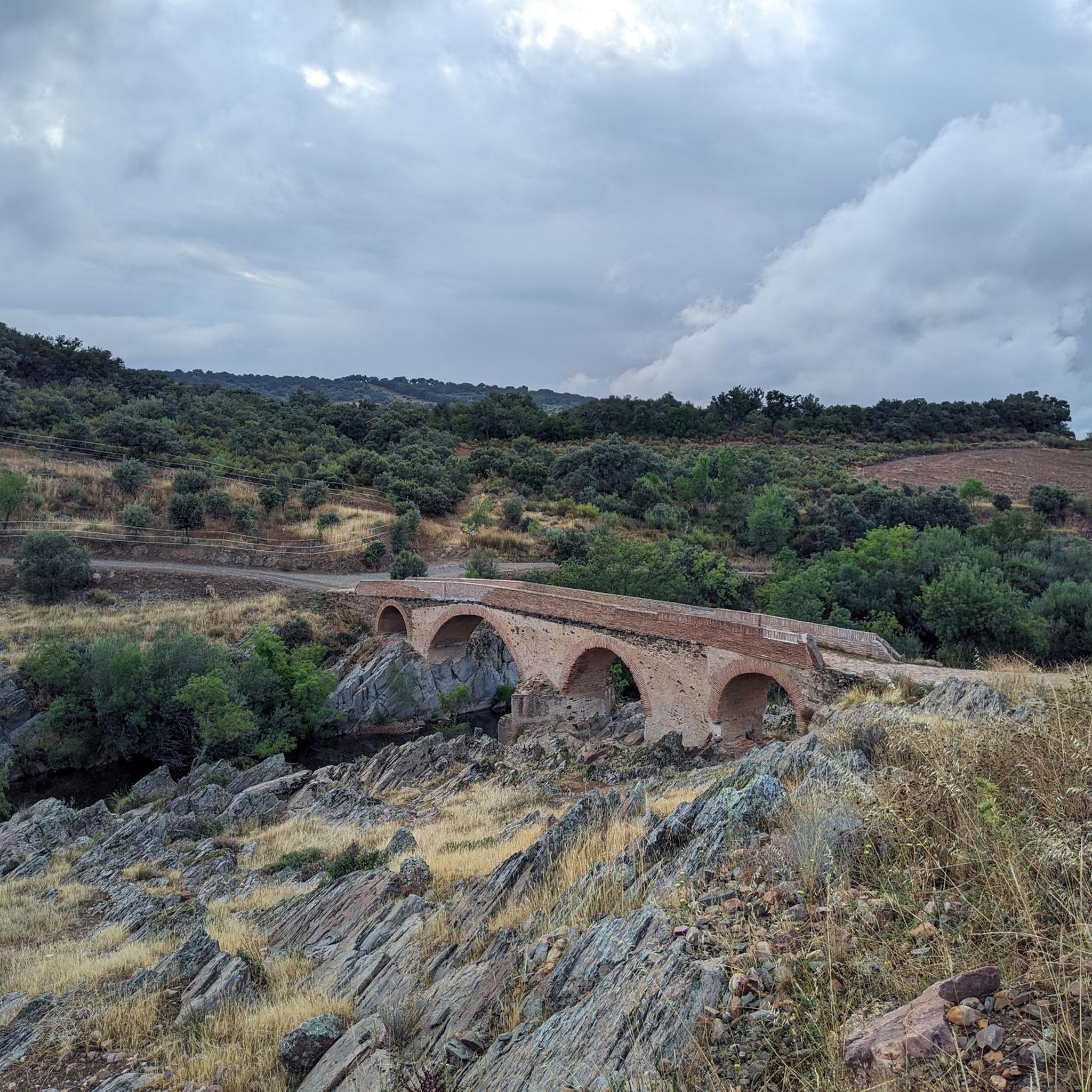
A town located in a very picturesque environment, on the slopes of the Montes de Toledo, in the Pusa valley that I recommend you see.
1
1
A place to enjoy the waters of the Pusa river and cool off before continuing on the road.
0
0
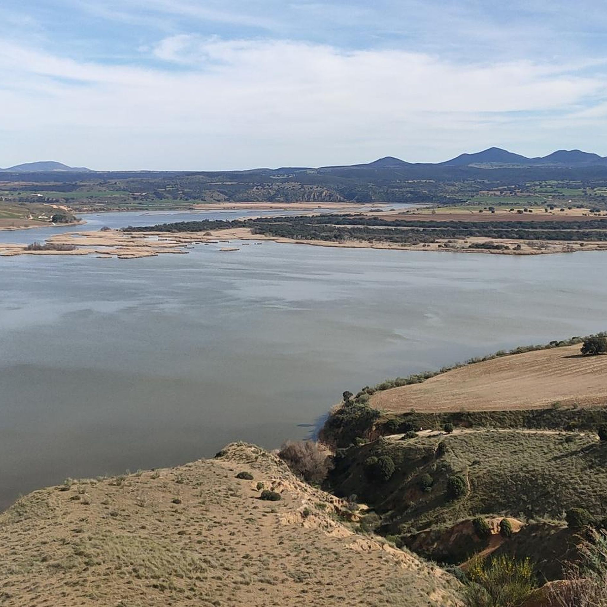
Views of the Pusa river, with Montes de Toledo in the background. A quiet place for nature lovers.
0
1
Frequently Asked Questions
How many hiking trails are available around Los Navalucillos?
There are over 20 hiking trails around Los Navalucillos, offering a diverse range of experiences from easy river walks to challenging mountain ascents within the Montes de Toledo and Cabañeros National Park.
Are there any waterfalls to see while hiking in Los Navalucillos?
Yes, the region is home to the impressive 15-meter high Chorro de Los Navalucillos Waterfall, a tranquil spot in the Rocigalgo mountain area. You can reach it via routes like the Waterfall of los Navalucillos — Cabañeros National Park trail. Another notable feature is the Chorrera Chica Waterfall, which can be found along some routes, sometimes requiring navigation through rocky sections with chains.
What kind of natural landmarks can I expect to see on the trails?
Hikers can discover unique natural landmarks such as the Estena Towers, which are striking columnar quartzite formations within Cabañeros National Park. The highest point in Toledo province, Pico Rocigalgo, also offers a significant natural landmark and challenging hiking opportunities.
Are there any family-friendly hiking options in Los Navalucillos?
Yes, Los Navalucillos offers several easy trails suitable for families. For instance, the Santa Ana de Pusa – circular to the Malpasillo bridge via the Estrechura del Pusa is an easy 4.6 km route that takes around 1 hour 15 minutes to complete, perfect for a leisurely family outing.
Can I find circular hiking routes in the area?
Absolutely. Many trails in Los Navalucillos are circular, allowing you to start and end at the same point. A popular option is the Río Pusa from Los Navalucillos — circular, a moderate 8.6 km trail that follows the serene Pusa River valley.
What is the best time of year to go hiking in Los Navalucillos?
The Montes de Toledo region, including Los Navalucillos, is best enjoyed during spring and autumn. These seasons offer milder temperatures, lush vegetation, and comfortable conditions for exploring the diverse landscapes without the intense heat of summer or the occasional chill of winter.
What kind of wildlife might I encounter while hiking?
The region, particularly within Cabañeros National Park, is rich in wildlife. Hikers might spot deer, wild boars, foxes, badgers, and genets. Birdwatchers can look out for eagles, vultures, sparrowhawks, hobbies, orioles, hoopoes, and goldfinches, among many other species.
What are the typical terrains and elevations like on the trails?
The terrain varies significantly, from gentle river valleys along the Pusa River to the large slopes and challenging ascents of the Montes de Toledo, including Pico Rocigalgo. You'll encounter Mediterranean forests, rocky sections, and areas with dense, humid vegetation. Elevations can range from minimal gains on easy routes to over 800 meters on difficult trails like the Route of the Chorro de los Navalucillos – El Parque Nacional de Cabañeros.
Are there any challenging hikes for experienced trekkers?
Yes, experienced hikers can tackle more demanding routes. The El Cerro del Rocigalgo y el Risco de las Tejadillas — circular por el Parque Nacional de Cabañeros is a difficult 20 km trail with significant elevation gain, offering a rewarding experience through the national park.
What do other hikers enjoy most about the trails in Los Navalucillos?
The trails in Los Navalucillos are highly rated by the komoot community, with an average score of 4.8 stars. Reviewers often praise the diverse landscapes, from the serene river walks to the challenging mountain paths, and the opportunity to experience the well-preserved Mediterranean forest and unique natural features like the waterfalls and quartzite formations.
Is parking available at the trailheads in Los Navalucillos?
While specific parking details for every trailhead are not always listed, Los Navalucillos is a rural area, and parking is generally available near the starting points of popular routes or within the village itself. It's advisable to check local signage or maps for designated parking areas before your hike.
Most popular attractions around Los Navalucillos

Get inspired with the komoot mobile app


Explore more
Browse the best Hikes in other regions.
