The best MTB trails around Valle De Losa
4.7
(43)
590
riders
70
rides
Mountain biking around Valle De Losa offers a diverse landscape for riders. The region is characterized by its valleys, such as the Valle de Mena, and surrounding mountainous terrain, including the Sierra Sálvada. Riders can expect a mix of elevations, from valley floors to higher summits like Ungino, providing varied challenges. The area features a network of trails suitable for different skill levels.
Best mountain bike trails around Valle De Losa
- The most popular mountain bike trail is Embalse de…
Last updated: June 24, 2026
32.8km
03:08
860m
860m
Moderate mountain bike ride. Good fitness required. Advanced riding skills necessary.
30.5km
02:48
590m
580m
Moderate mountain bike ride. Good fitness required. Advanced riding skills necessary.

Sign up for free
48.8km
04:42
930m
930m
Hard mountain bike ride. Very good fitness required. Advanced riding skills necessary.
36
riders
43.0km
04:15
1,030m
1,030m
Hard mountain bike ride. Very good fitness required. Advanced riding skills necessary. Some portions of the route may require you to push your bike.
21
riders
41.9km
04:11
990m
990m
Hard mountain bike ride. Very good fitness required. Advanced riding skills necessary. Some portions of the route may require you to push your bike.
Get access to more routes and recommendations from other explorers.
Sign up for free
Already have an account?
Our route recommendations are based on thousands of hikes, rides, and runs completed by other people on komoot.
Start today with a free account
Your next adventure awaits.
Login or Signup

Other adventures around Valle De Losa

Tips from the Community

Remains of an old town, depopulated since 1970.
2
0
It does not reach 1,000 meters, but it has good views. The lookout post, I suppose for fires, at the top itself is curious.
2
0
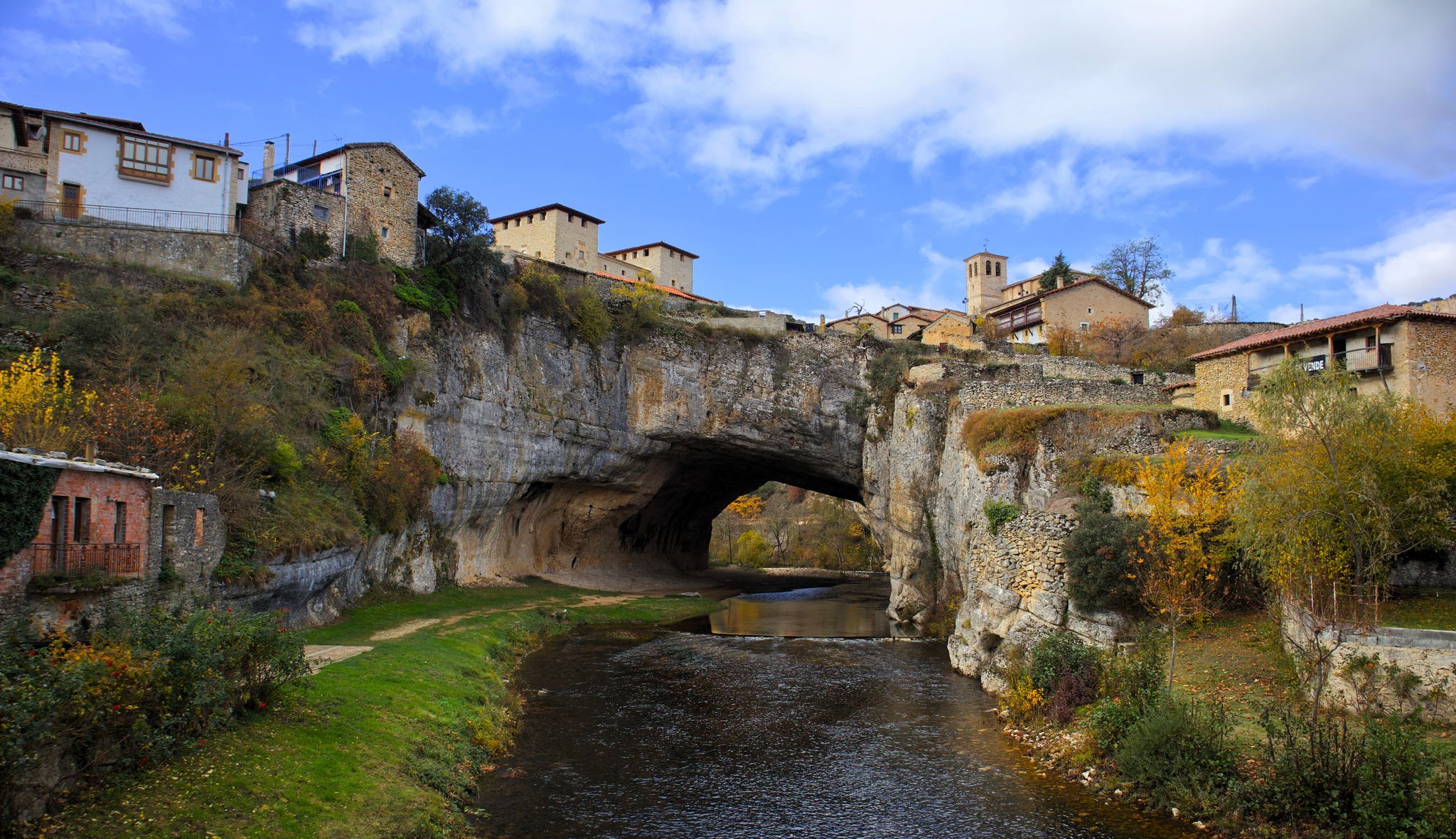
It is not in very good condition, but it is still impressive. It can be crossed.
2
0

Pleasant path with gentle slopes where you can enjoy the nature that surrounds it.
1
0
Charming town with a rich historical heritage. Its cobbled streets and traditional-style houses invite you to take quiet walks, while its main square and its church are meeting points. A picturesque place to immerse yourself in history and enjoy rural authenticity.
1
0
Located in the municipality of Valle de Mena, the Ordunte reservoir is surrounded by mountains and exuberant vegetation. Completed in 1934 to supply the region, the reservoir collects the waters of the Ordunte River and the Cerneja River.
1
0
Beautiful path surrounding the Ordunte Reservoir.
1
0
Frequently Asked Questions
How many mountain bike trails are available in Valle De Losa?
There are over 70 mountain bike trails recorded in Valle De Losa on komoot, offering a wide range of options for different skill levels and preferences.
Are there easy mountain bike trails suitable for beginners or families in Valle De Losa?
Yes, Valle De Losa offers several easy mountain bike trails. There are 6 routes specifically categorized as easy, providing a gentle introduction to mountain biking in the region. These trails are generally less demanding in terms of elevation and technical skill.
What is the typical length and duration of mountain bike trails in Valle De Losa?
The mountain bike trails in Valle De Losa vary significantly in length and duration. For example, the Embalse de Ordunte - circular route through the Valle de Mena is about 20.4 miles (32.8 km) and takes around 3 hours. Longer routes like Tres Altos — circular desde Villaluenga stretch to 30.3 miles (48.8 km) and can take over 4.5 hours to complete.
Are there challenging mountain bike trails for experienced riders in Valle De Losa?
Absolutely. For experienced riders seeking a challenge, Valle De Losa features 27 difficult mountain bike trails. These routes often include significant elevation changes and technical sections, such as the Tres Altos — circular desde Villaluenga or the Roman bridge – Lookout loop from Valle de Losa, which involve substantial climbs and descents.
Are there circular mountain bike routes available in Valle De Losa?
Yes, many mountain bike routes in Valle De Losa are designed as circular or loop trails, allowing you to start and end at the same point. Examples include the popular Embalse de Ordunte - circular route through the Valle de Mena and the Sierra Sálvada Loop Trail.
What do other mountain bikers enjoy most about the trails in Valle De Losa?
The mountain bike trails in Valle De Losa are highly rated by the komoot community, with an average score of 4.6 stars from nearly 40 reviews. Riders often praise the diverse landscape, which includes scenic valleys like Valle de Mena and the challenging terrain of the Sierra Sálvada, offering varied experiences for all skill levels.
What kind of natural attractions can I see along the mountain bike trails in Valle De Losa?
While mountain biking in Valle De Losa, you can encounter various natural attractions. The region is known for its valleys and mountainous terrain. You might pass by significant mountain passes such as Alto de Ro or Orduña Pass. Additionally, there are several lakes and reservoirs in the vicinity, including the Maroño Reservoir and Arceniega Reservoir, which often feature in routes.
Are there any hidden gem mountain bike trails in Valle De Losa that are less frequented?
While many trails are popular, routes like Ungino Summit and Rock Arch – Ungino Spring loop from Gorobel mendilerroa BBE offer a more secluded experience. This difficult route takes you through high points and offers stunning views, often with fewer riders than the more well-known paths.
What is the best time of year for mountain biking in Valle De Losa?
The best time for mountain biking in Valle De Losa is generally during the spring (April to June) and autumn (September to October) months. During these periods, the weather is typically milder, with pleasant temperatures and less extreme heat or cold, making for more comfortable riding conditions. Summer can be hot, and winter may bring colder temperatures and potential snow at higher elevations.
What should I wear for mountain biking in Valle De Losa?
Given the varied terrain and potential for elevation changes, it's advisable to wear layered clothing that can be adjusted to changing conditions. Technical fabrics that wick away moisture are recommended. Always include a helmet, gloves, and appropriate footwear. Depending on the season, consider bringing a lightweight waterproof jacket and sun protection.
Are there any specific permits required for mountain biking on trails in Valle De Losa?
Generally, no specific permits are required for mountain biking on the established trails in Valle De Losa. However, it's always good practice to check local regulations, especially if you plan to ride through protected natural areas or private land. Always respect signage and local guidelines.
Are there options for food and drink along the mountain bike trails in Valle De Losa?
While some routes might pass through or near villages with cafes or restaurants, many trails in Valle De Losa traverse natural and rural areas where amenities are scarce. It's highly recommended to carry sufficient water and snacks, especially for longer rides. Plan your route in advance to identify any potential stops for refreshments.
Most popular routes around Valle De Losa
Most popular attractions around Valle De Losa

Get inspired with the komoot mobile app


Explore more
Browse the best MTB trails in other regions.
