The best walks and hikes around Torralba Del Río
4.6
(109)
983
hikers
12
hikes
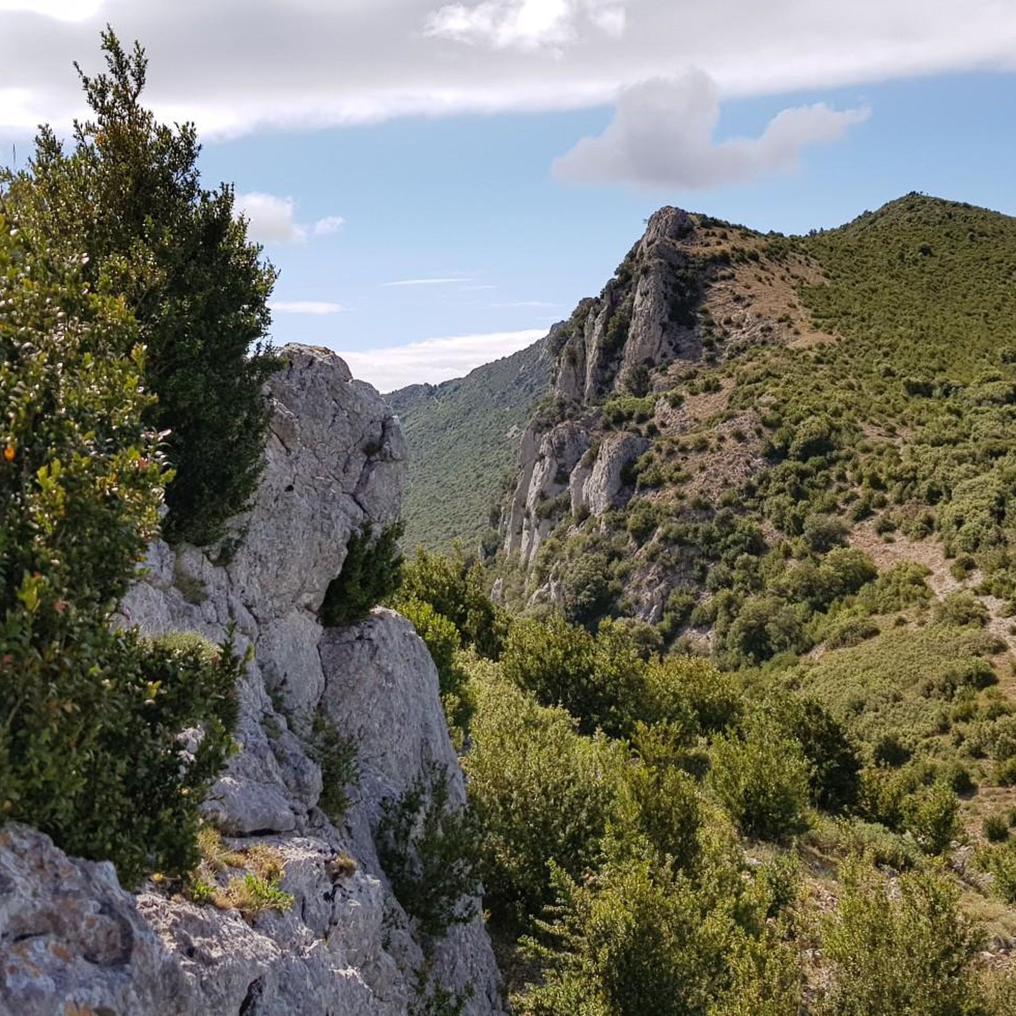
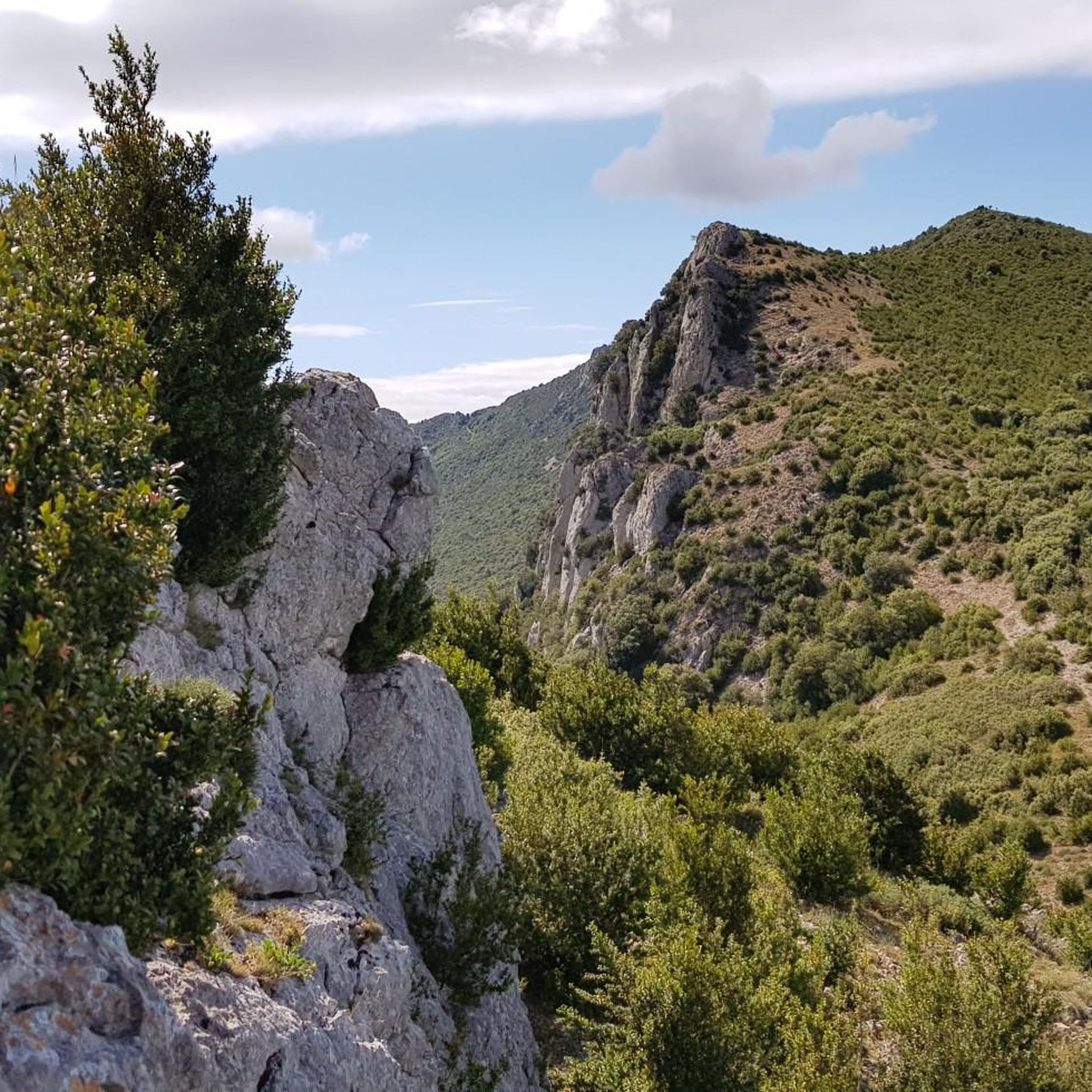
Hiking around Torralba Del Río offers exploration within the foothills of the Sierra de Codés in Navarre, Spain, providing a mountainous backdrop. The landscape features diverse ecosystems, including Mediterranean scrubland, holm oak forests, and higher-altitude yews and beech trees. The area provides ascensions to peaks such as Monte Yoar (1,421 m), set within the picturesque Valley of Aguilar. This region is characterized by varied terrain, from cultivated fields to mountain trails.
Best hiking trails around Torralba Del Río
- The most…
Last updated: June 30, 2026
5.0
(1)
3
hikers
6.76km
03:22
710m
720m
Moderate hike. Good fitness required. Mostly accessible paths. Sure-footedness required.
5.0
(2)
34
hikers
9.90km
04:12
730m
720m
Moderate hike. Good fitness required. Mostly accessible paths. Sure-footedness required.

Sign up for free
4.0
(2)
23
hikers
Hard hike. Good fitness required. Sure-footedness, sturdy shoes and alpine experience required.
5.0
(1)
19
hikers
9.05km
04:25
700m
700m
Hard hike. Good fitness required. Sure-footedness, sturdy shoes and alpine experience required.
5.0
(1)
5
hikers
Moderate hike. Great for any fitness level. Mostly accessible paths. Sure-footedness required.
Get access to more routes and recommendations from other explorers.
Sign up for free
Already have an account?
Our route recommendations are based on thousands of hikes, rides, and runs completed by other people on komoot.
Start today with a free account
Your next adventure awaits.
Login or Signup


Tips from the Community

beautiful hermitage with a 2.5k climb at an average of 11%
0
0

In La Llana, you must directly cross the GR-1 Historic Trail and climb the path that seeks the second summit of the mountain range. Before entering the beech forest, it passes close to the edge of the stone bell towers and offers good views of the Ribera de Navarra and the Rioja Baja, in the Ebro valley. The path is deceptive; it seems to seek the ridge of the mountain but maintains a path at altitude on the north face, even making small descents to adjust to the terrain, until it finally climbs to the ridge of the mountain and passes by the sculpture of La Plana (1,338 m). Just as the Joar mailbox has a colorful tree, mountaineers, flowers, animals and other curiosities. The path continues along the plain of the summit to the east, the meadows abound with clumps of eguzkilore, the witch-repelling thistles that are placed at the doors of houses. The trail reaches a milestone at the eastern end of the plateau and changes course to begin the descent south along the ridge of the mountain.
0
0
The trail runs through the beech forest and ends at Joar Peak (1,417 m), the highest point in the Codés mountain range. The summit houses a telecommunications center and antennas of all kinds. There is also the service lane that ascends from Santa Cruz de Campezo, used by mountain bikers. The geodetic vertex is next to the antennas, but the stop is a few meters further on, at the cliffs where the sculptures and the best views are located. The atmosphere is magnificent on both sides. The route returns along the same path and descends again through the beech forest to begin the ascent to La Plana Peak.
0
0
The route follows the red and white GR-1 markings to the plain of La Llana Pass. At several points, other trails appear, but they are shortcuts, variants, or detours to different parts of the mountain range. The path is easy to follow despite the steep slope and the loose stone scree. The trail passes near the impressive limestone tower of Peña de los Cencerros and continues toward the mouth of the two prominent peaks of the mountain range at the entrance to the La Llana plateau. At the GR-1 marker, a path leads off to each side, and the Historic Trail continues straight ahead to Santa Cruz de Campezo. The climb to the summit of Joar begins along the path on the left, first through bushes and then through a welcoming beech forest nestled in the limestone slope of the mountain's north face. These unique forests are isolated near the peaks and are the southernmost beech forests in Navarre.
0
0
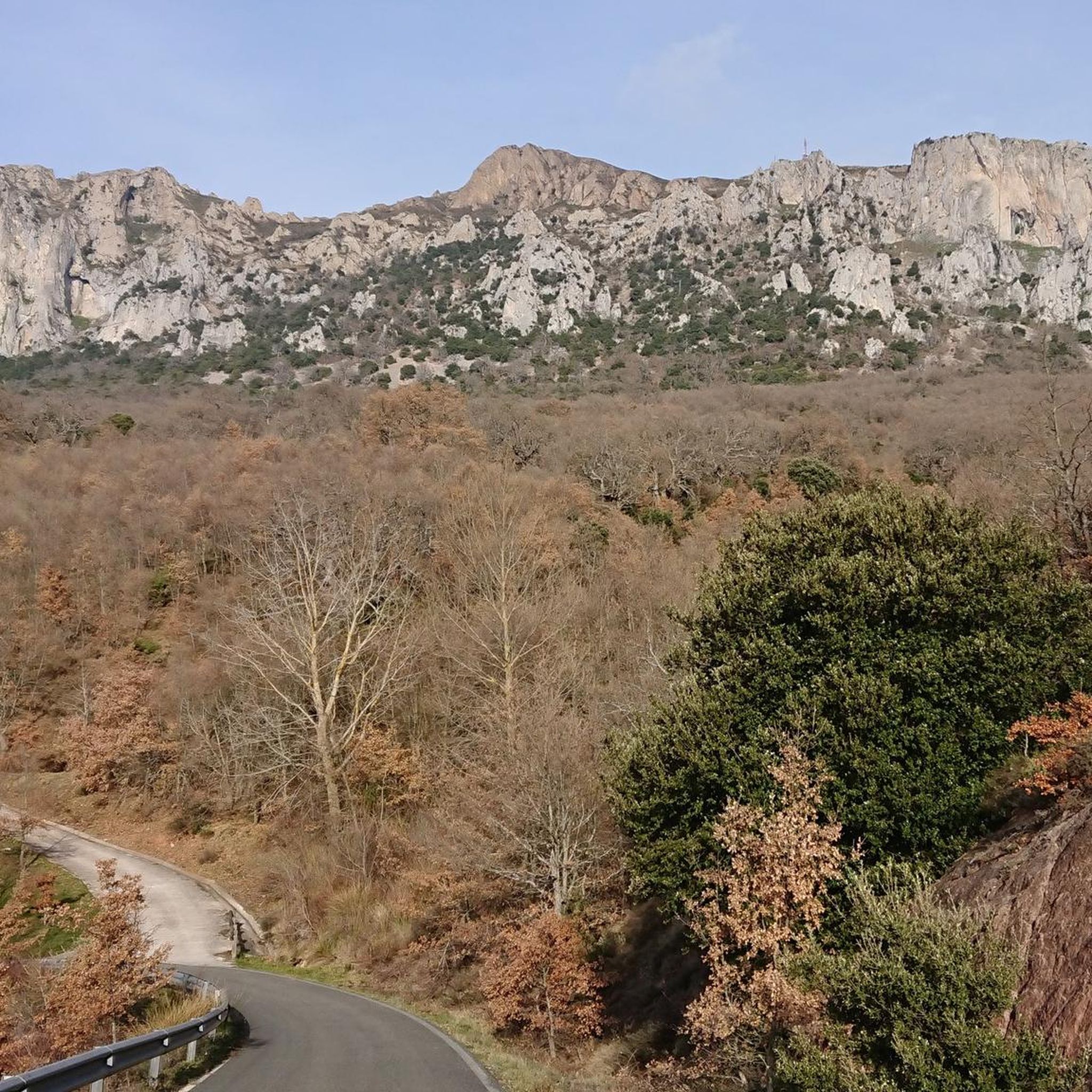
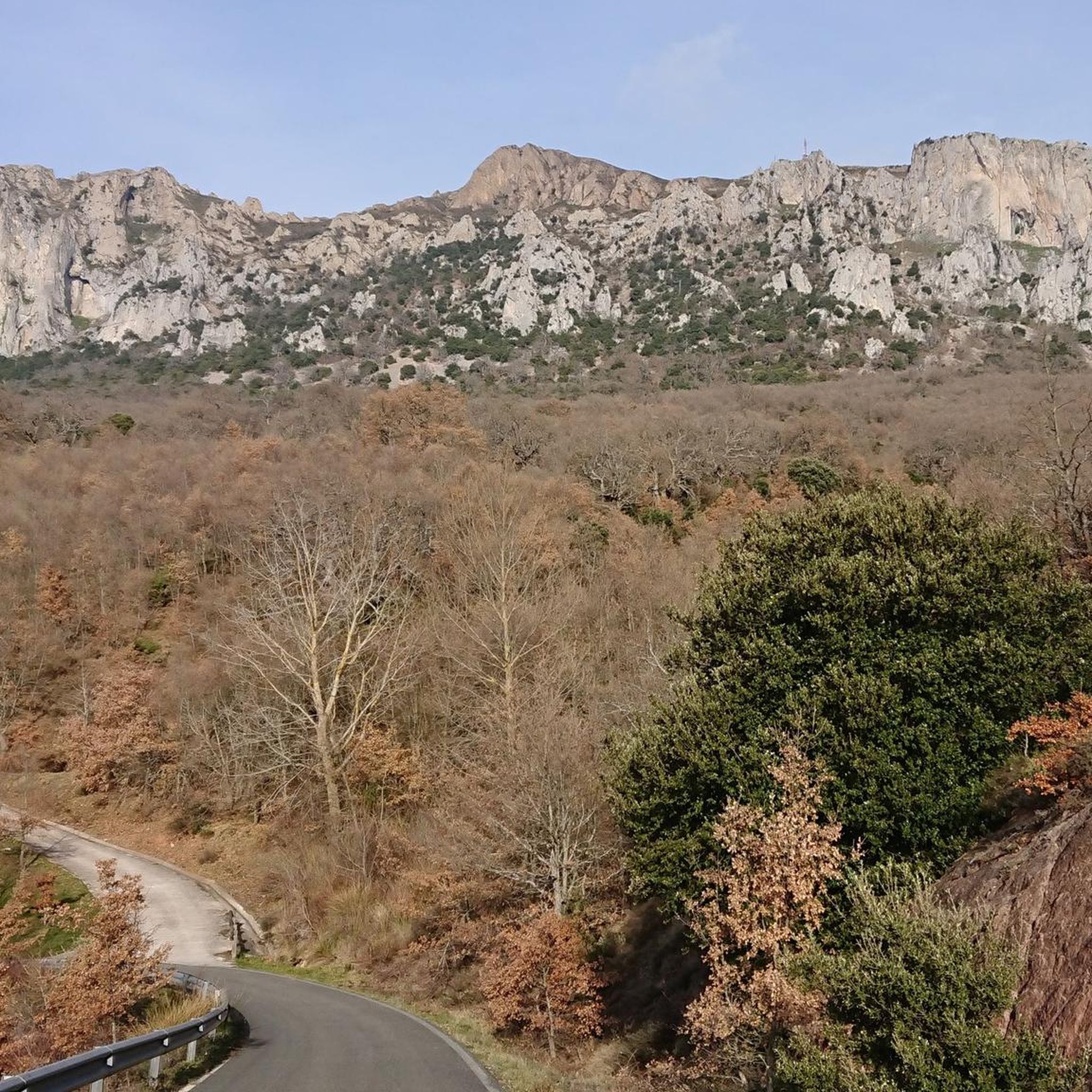
The Sanctuary of the Virgin of Codés is located at the foot of the mountain range. It is a splendid 16th-century building built on the remains of a hermitage. The Baroque tower dates from the 18th century. The holy water fountain is next to the arcades, and there is also a guesthouse and gardens for relaxing and passing the time. The route climbs to the left of the building to a parking lot where signs and signs display the hiking trails. The path continues along the GR-1 long-distance trail, the Historical Trail, to Santa Cruz de Campezo, on the Álava side of the mountain range. The path is quite steep through a tunnel of oak trees, some of which are centuries old and stand out in a disturbing way against the dense forest.
1
0

Dangerous area if wet. There are staples on the wall for easier climbing.
0
0

One of the emblematic peaks of the area, a joy of views.
0
0
Frequently Asked Questions
How many hiking trails are available around Torralba Del Río?
There are over 10 hiking trails available around Torralba Del Río, offering a variety of experiences within the Sierra de Codés. These routes cater to different skill levels, from moderate to difficult.
What kind of terrain can I expect on hikes in Torralba Del Río?
The terrain around Torralba Del Río is diverse, ranging from well-maintained tracks through cultivated fields and Mediterranean scrubland to more challenging mountain trails. You'll encounter holm oak forests, and at higher altitudes, even yews and beech trees, especially when ascending peaks in the Sierra de Codés.
Are there any easy or family-friendly hiking options in Torralba Del Río?
While the komoot guide primarily features moderate to difficult routes, the region research mentions the Sendero Cultural Torralba del Río as easily accessible and suitable for all ages and fitness levels. This path has a low difficulty and traverses varied terrain without steep climbs, making it a good option for families.
What are some notable landmarks or points of interest to see while hiking?
Hikers can explore several points of interest. The Sendero Cultural Torralba del Río passes by the ancient deserted village of Bañano and the site of the former Ermita de San Juan. Within Torralba Del Río itself, an urban cultural route includes historical sites like the Church of Santa María and medieval walls. For panoramic views, consider routes that ascend peaks like Joar Summit (1,414 m).
Are there any circular hiking routes available?
Yes, many of the trails around Torralba Del Río are circular. For example, you can explore the Joar & Grudo - circular along the Historic Trail of Navarra, which is a moderate 4.2-mile route. Another option is the more challenging Joar Summit (1,414 m) – Ioar loop from Torralba del Río.
What do other hikers say about the trails in Torralba Del Río?
The hiking routes in Torralba Del Río are highly rated by the komoot community, with an average score of 4.6 stars from over 90 reviews. Hikers often praise the diverse landscapes, the challenging ascents to peaks like Joar, and the opportunity to explore both natural beauty and historical sites.
Are there any challenging hikes for experienced trekkers?
Yes, Torralba Del Río offers several challenging routes. For instance, the Choza de los Pastores Shelter – Joar Summit (1,414 m) loop from Torralba del Río is a difficult 5.1-mile trail leading through mountainous terrain. Another demanding option is the Joar Summit (1,414 m) – Ioar loop from Torralba del Río.
What are the highest peaks I can hike to in the area?
Torralba Del Río is situated in the foothills of the Sierra de Codés, offering ascensions to several notable peaks. You can hike to Joar Summit (1,414 m), which is featured in several routes. Other significant peaks in the Sierra de Codés include Monte Yoar (1,421 m) and Monte La Plana (1,333 m).
Is Torralba Del Río a good destination for nature lovers?
Absolutely. The region boasts diverse ecosystems, including Mediterranean scrubland, holm oak forests, and at higher altitudes, yews and beech trees. The natural surroundings are rich in flora and fauna, making it an ideal spot for those who appreciate varied natural landscapes and rural tourism.
Are there any routes that offer views of the Sierra de Codés?
Many routes in the area provide excellent views of the Sierra de Codés. For example, the Grudo – Joar Summit (1,414 m) loop from Torralba del Río specifically offers views towards the Sierra de Codés and the summit of Joar, providing spectacular panoramic vistas.
Can I find accommodation or places to eat in Torralba Del Río?
While specific cafes or accommodation are not detailed in the guide data, Torralba Del Río is a village in the Valley of Aguilar. As a destination for rural tourism, it is likely to offer local amenities such as small eateries or guesthouses. It's advisable to check local listings for current options.
Most popular routes around Torralba Del Río
Most popular attractions around Torralba Del Río

Get inspired with the komoot mobile app


Explore more
Browse the best Hikes in other regions.
