The best running trails around Casas De Garcimolina
45
runners
6
runs
Jogging routes around Casas De Garcimolina are set within the Sierra de Cuenca Natural Park and Cabriel Valley Biosphere Reserve, offering a protected natural environment. The region features mountainous and forested terrain, primarily composed of pines and junipers, providing varied running routes. An extensive network of forest paths and trails makes it suitable for runners seeking natural surfaces. The area's undulating landscape includes features like El Talayón peak and ancient juniper forests, adding diverse elements to running experiences.
Best jogging…
Last updated: May 15, 2026
21
runners
19.7km
02:44
760m
750m
Hard run. Very good fitness required. Mostly paved surfaces. Suitable for all skill levels.
7
runners
10.9km
01:12
90m
90m
Moderate run. Good fitness required. Mostly paved surfaces. Suitable for all skill levels.

Sign up for free
6
runners
14.4km
01:47
320m
320m
Hard run. Very good fitness required. Mostly paved surfaces. Suitable for all skill levels.
3
runners
9.68km
01:04
200m
200m
Moderate run. Good fitness required. Mostly paved surfaces. Suitable for all skill levels.
5
runners
14.2km
01:42
290m
290m
Moderate run. Good fitness required. Mostly paved surfaces. Suitable for all skill levels.
Our route recommendations are based on thousands of hikes, rides, and runs completed by other people on komoot.
Start today with a free account
Your next adventure awaits.
Login or Signup
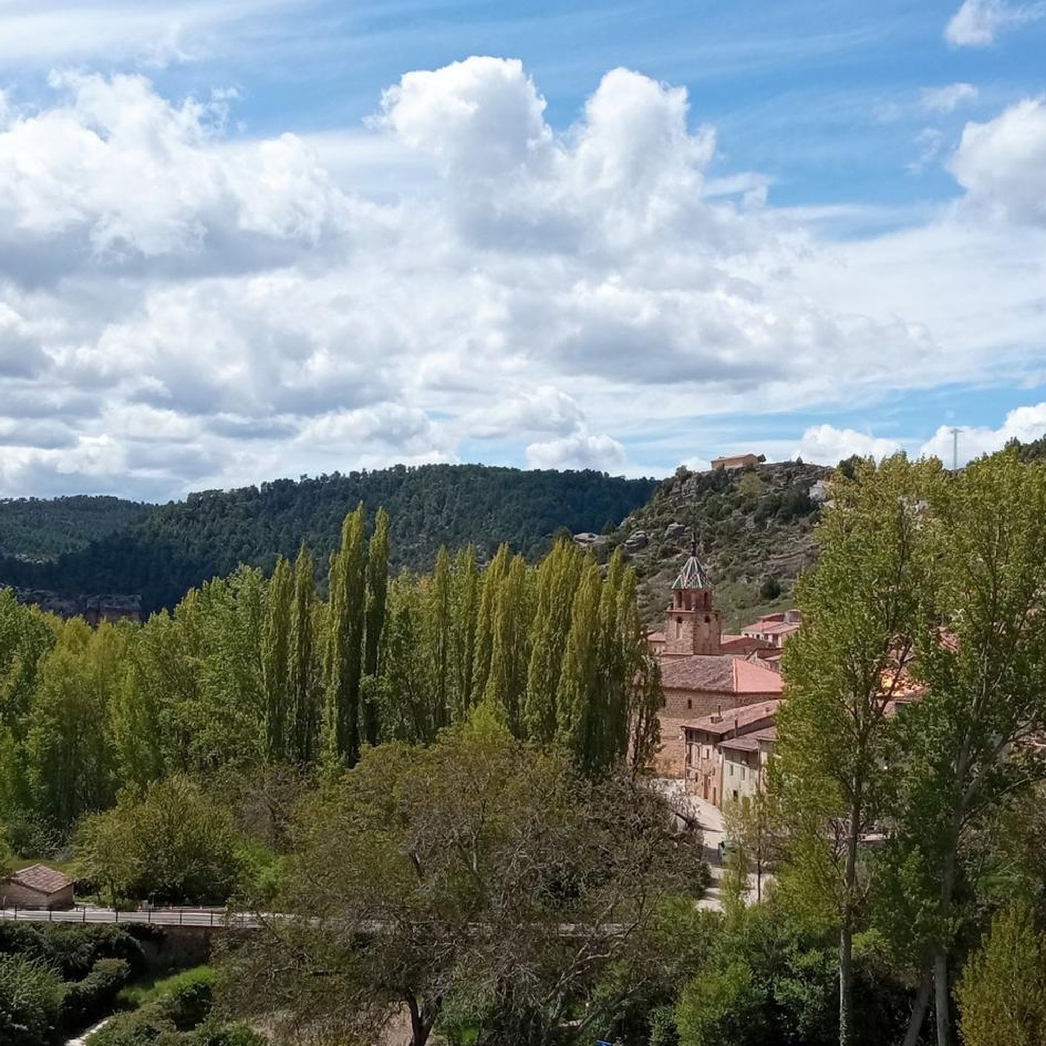
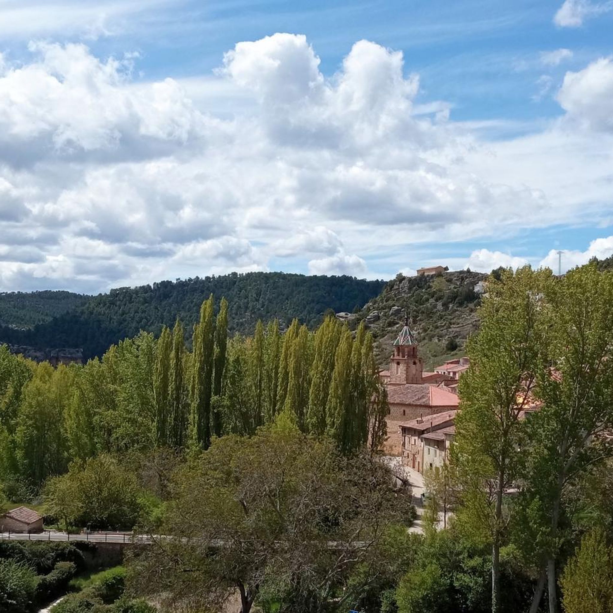
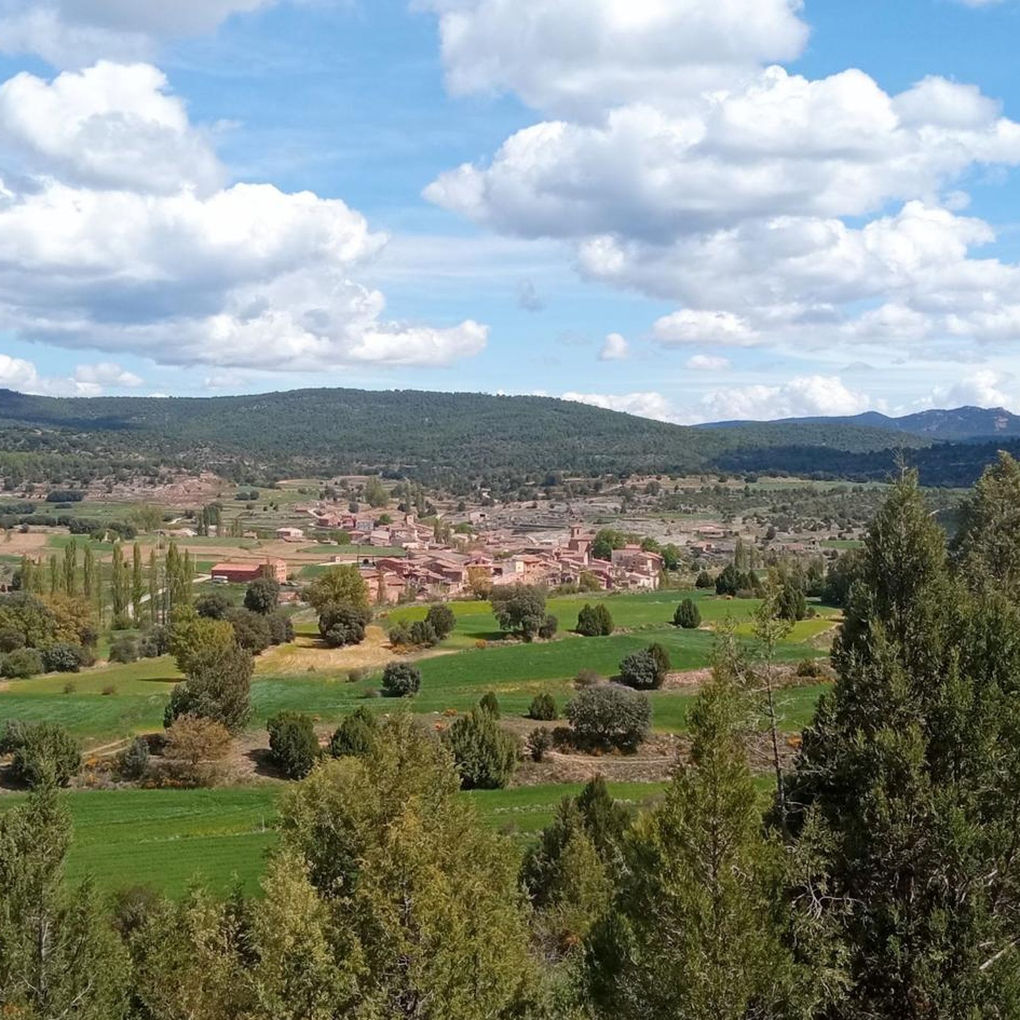
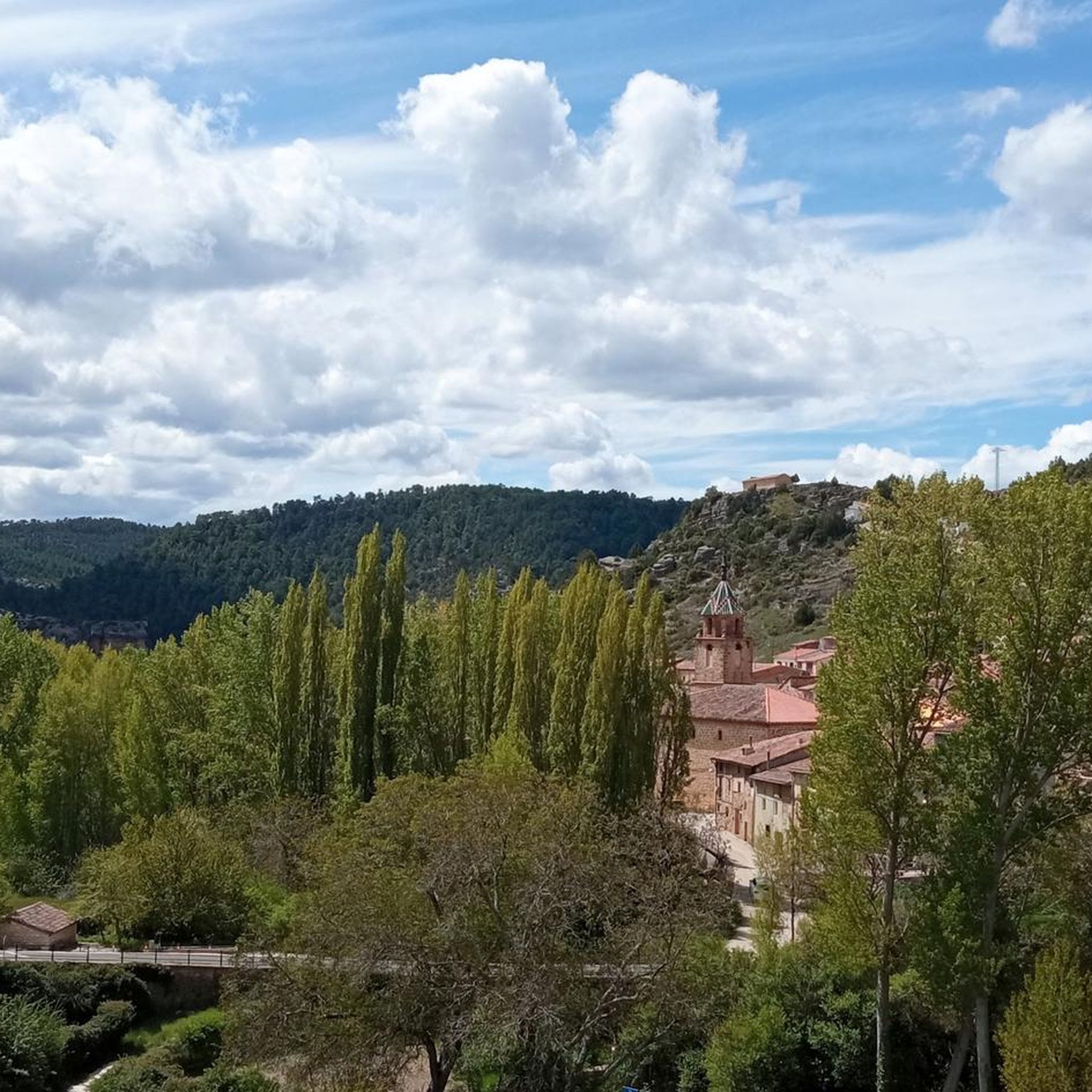
Tips from the Community

The route descends from the CU-V-5003 road to the Algarra River, offering glimpses of it from within the valley. Along paths parallel to the river, you'll see orchards, tree plantations, and riverside land, some of which is also visible from the access roads and sides of the CU-V-5003.
2
0

Beautiful surroundings and antiquity par excellence. Stop here for some tapas and a beer
0
0

One of the most beautiful towns in the area, as you can see the center sunken into the valley where the Río Túria flows.
0
0
Very pretty town located on top of a small hill in the Hoya de Matea, in an enclave between mountains. The continuation of the road goes towards the Cunázara pass.
0
1

The town that gives its name to the homonymous region of the Valencian Community. Not very well known or crowded, it is a very picturesque place with the typical charm of an inland town. An ideal place also for supplies.
1
0

Frequently Asked Questions
How many running routes are available in Casas De Garcimolina?
There are several dedicated running routes around Casas De Garcimolina, with a total of 6 routes detailed in this guide. These routes offer a variety of experiences within the Sierra de Cuenca Natural Park and Cabriel Valley Biosphere Reserve.
What kind of terrain can I expect on the jogging trails in Casas De Garcimolina?
The jogging trails in Casas De Garcimolina are characterized by mountainous and forested terrain, primarily composed of pines and junipers. You'll find an extensive network of forest paths and trails, offering natural surfaces and undulating landscapes suitable for various running preferences. Expect varied elevation changes, from moderate climbs to more challenging ascents.
Are there any easy running routes for beginners in Casas De Garcimolina?
While all routes in this guide are rated as moderate or difficult, the region does offer paths suitable for different ability levels. For a moderate option, consider the Poblado Íbero La Celadilla loop from Ademuz, which is 6.7 miles (10.9 km) and takes about 1 hour 11 minutes, winding through diverse terrain with less significant elevation gain compared to difficult routes.
What are some scenic highlights or landmarks I can see while running in the area?
The region is rich in natural beauty and historical sites. You might encounter the ancient juniper forest of El Sabinarejo, dramatic geological formations like Peña El Pardo, or enjoy panoramic views from higher points. Nearby attractions include the Old Town of Moya and the charming settlements of Algarra and Ademuz.
Are there any long-distance or challenging running routes available?
Yes, for those seeking a challenge, the area offers several demanding routes. The Loma de la Cruz loop from Ademuz is a difficult 12.2 miles (19.7 km) trail with significant elevation gain, typically taking around 2 hours 43 minutes. Another challenging option is the Ademuz loop from Ademuz, an 8.9 miles (14.4 km) route through varied terrain.
What is the best time of year to go running in Casas De Garcimolina?
Spring and autumn are particularly recommended for running in Casas De Garcimolina. During these seasons, the climate is pleasant, and the landscapes are vibrant, making for ideal conditions for outdoor physical activity. The serene environment and diverse flora and fauna are also at their best.
Are there any circular running routes in Casas De Garcimolina?
Yes, many of the running routes in the area are circular, allowing you to start and end in the same location. Examples include the Algarra loop from Algarra, a moderate 9.7 km route, and the Poblado Íbero La Celadilla loop from Casas Altas, which is 14.2 km long.
What do other runners say about the trails in Casas De Garcimolina?
The running trails in Casas De Garcimolina are appreciated by the komoot community for their natural beauty and varied terrain. Over 40 runners have used komoot to explore these routes, often praising the extensive network of forest paths and the protected, picturesque environment free from large crowds.
Are there any running routes that pass by rivers or waterfalls?
While specific routes in this guide don't explicitly mention waterfalls, the region's research highlights nearby attractions like Río Bohílgues, Cascada El Pozo de La Horca, and Cascada del Molino de San Pedro. You can explore routes in the vicinity of these natural features for picturesque runs along waterways.
Is the area suitable for family-friendly running or walking?
The diverse landscape of Casas De Garcimolina offers various trails. While this guide focuses on moderate to difficult running routes, the extensive network of forest paths means there are likely shorter, less strenuous options suitable for families looking for a walk or a gentle jog. It's always best to check individual route details for suitability.
What kind of natural environment defines the running experience in Casas De Garcimolina?
The running experience in Casas De Garcimolina is defined by its unspoiled natural environment within the Sierra de Cuenca Natural Park and Cabriel Valley Biosphere Reserve. You'll run through dense forests of pines and junipers, encounter undulating mountainous terrain, and may spot diverse flora and fauna, including various birds of prey and mammals.
Most popular routes around Casas De Garcimolina
Most popular attractions around Casas De Garcimolina

Get inspired with the komoot mobile app


Explore more
Browse the best Running Trails & Routes in other regions.
