The best MTB trails around La Sierpe
5.0
(6)
238
riders
32
rides
Mountain biking around La Sierpe offers diverse terrain and scenic landscapes, making it a compelling destination for outdoor enthusiasts. The region is characterized by challenging peaks, such as Pico Cervero (1465 m), and varied trail types that cater to different skill levels. Riders can expect routes through pine forests and areas with notable rock features, providing engaging climbs and descents. This area provides a mix of paths, from moderate loops to more technical and demanding trails.
Best mountain bike trails…
Last updated: May 20, 2026
1
riders
Moderate mountain bike ride. Good fitness required. Advanced riding skills necessary.
42
riders
37.1km
03:35
960m
960m
Hard mountain bike ride. Very good fitness required. Advanced riding skills necessary. Some portions of the route may require you to push your bike.

Sign up for free
21
riders
42.0km
03:50
1,080m
1,090m
Hard mountain bike ride. Very good fitness required. Advanced riding skills necessary. Some portions of the route may require you to push your bike.
5.0
(1)
17
riders
45.6km
04:23
1,160m
1,160m
Hard mountain bike ride. Very good fitness required. Advanced riding skills necessary.
5.0
(2)
20
riders
53.3km
04:40
1,070m
1,070m
Hard mountain bike ride. Very good fitness required. Advanced riding skills necessary.
Get access to more routes and recommendations from other explorers.
Sign up for free
Already have an account?
Our route recommendations are based on thousands of hikes, rides, and runs completed by other people on komoot.
Start today with a free account
Your next adventure awaits.
Login or Signup

Tips from the Community

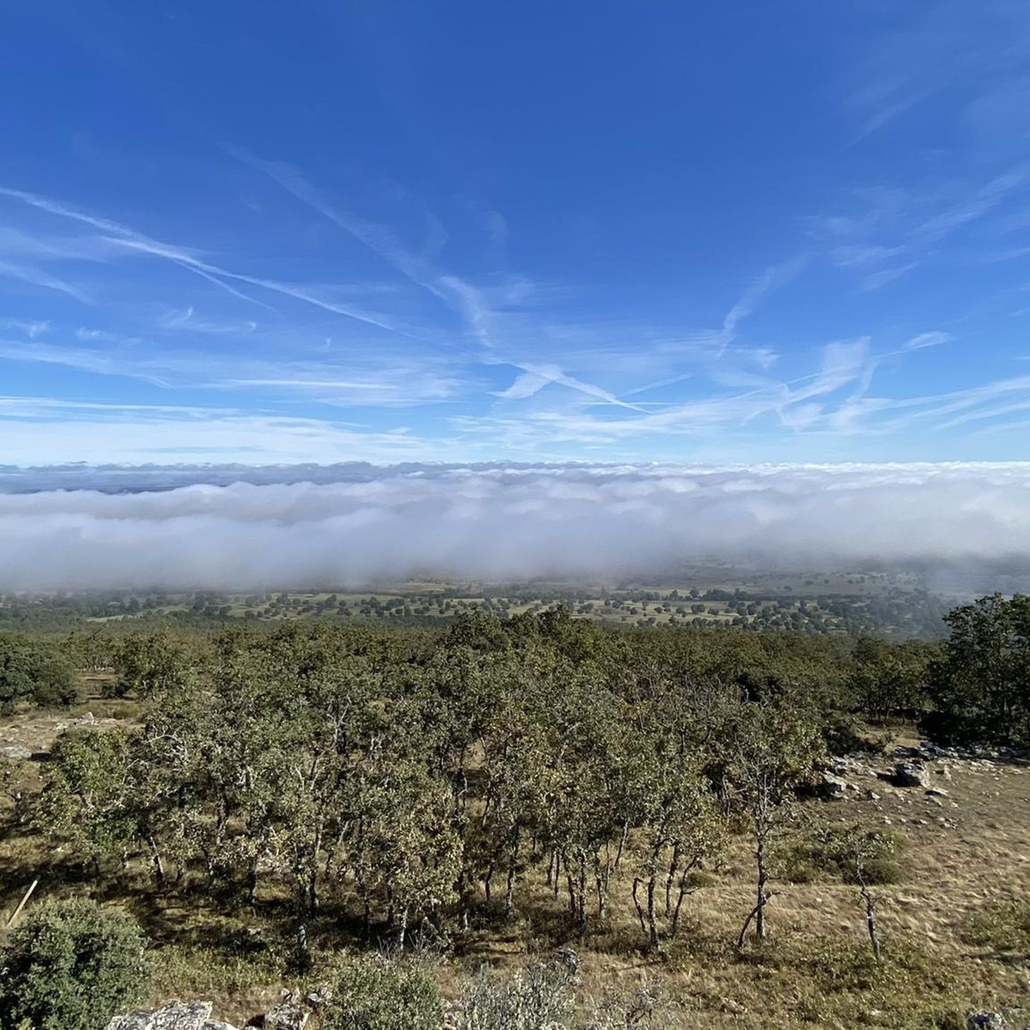
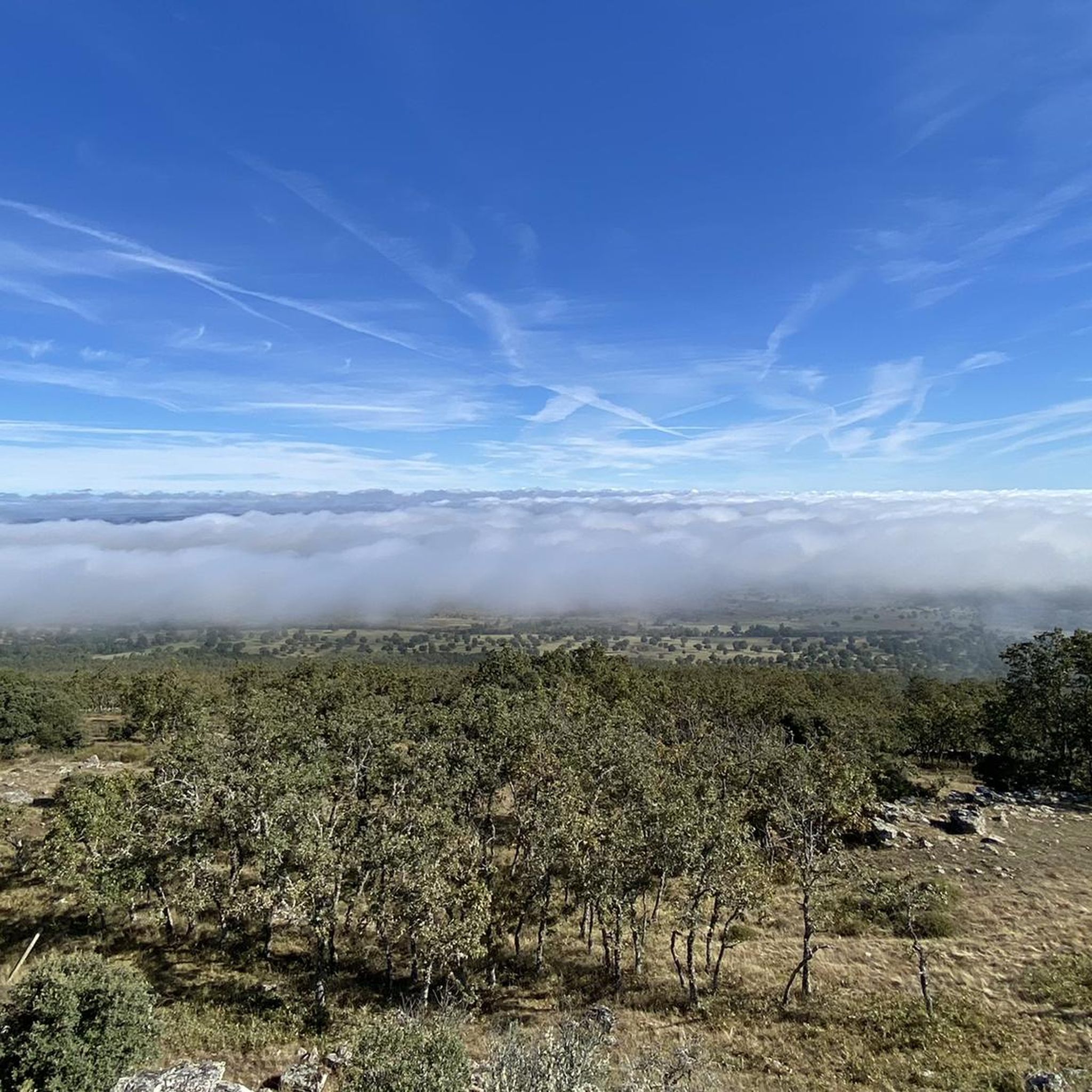
Located between the municipalities of Navarredonda de la Rinconada and Escurial de la Sierra, in the Sierra de Francia-Quilamas region. A protected natural area within the Natura 2000 network, with oak and chestnut forests and wildlife such as the golden eagle and griffon vulture.
5
0

In the southeastern fringe of the province of Salamanca, the municipal complex of San Miguel de Valero is located, in the middle of the Sierra Quilamas, some 60 kilometers away from the charra capital. At an average altitude of about 950 meters above sea level, the climate is usually characterized by low temperatures and long winters. However, during the summer the days are mild and the nights are cool.
0
0
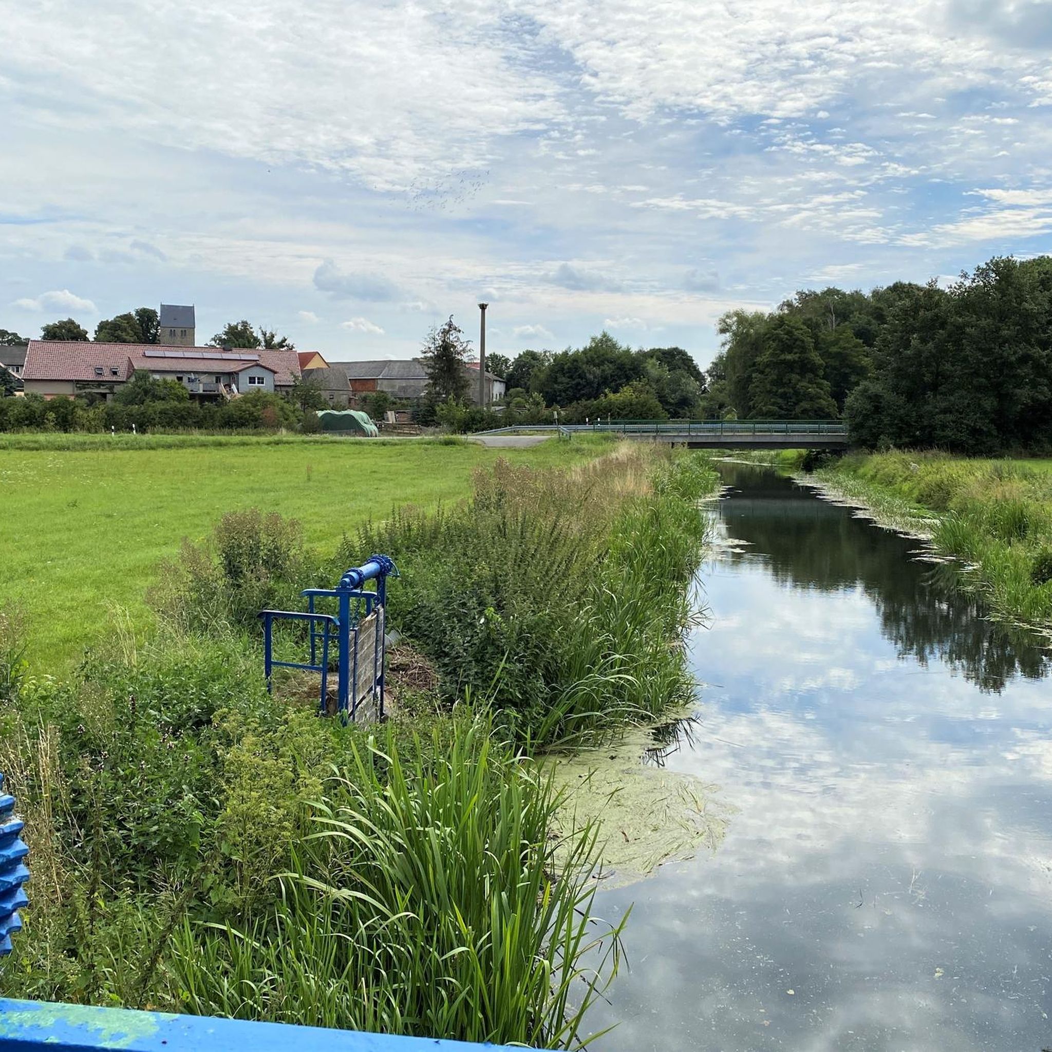
Small lagoon that is located near the town of Navarredonda de la Rinconada and where it offers a quiet space to rest for a few minutes before resuming the march.
0
0

A beautiful, very quiet area that can be the ideal place to take a break on your route and enjoy this beautiful landscape.
1
0
The castle ruins are of great historical and tourist interest in the Peña de Santa Cruz area and also offer beautiful views. The origin of it is unknown for sure, but it is considered to be from pre-Roman times, and which later formed part of a larger group to defend the lands at the beginning of the 10th century and which was rebuilt in this century by King Ramiro II of León .
1
0
The top of Pico Cervero is located at 1,522 meters above sea level within the wonderful Natural Space of Las Quilamas. The ascent is demanding and depending on where you climb it from, it may have some technical sectors. From Linares de Riofrío you can follow the path through the Honfrías forest, a wonderful and picturesque place.
1
1
The castle ruins are of great historical and tourist interest in the Peña de Santa Cruz area and also offer beautiful views. The origin of it is unknown for sure, but it is considered to be from pre-Roman times, and which later formed part of a larger group to defend the lands at the beginning of the 10th century and which was rebuilt in this century by King Ramiro II of León .
3
0

You can access the hermitage by road from Las Veguillas.
0
0
Frequently Asked Questions
How many mountain bike trails are available in La Sierpe?
La Sierpe offers a diverse network of over 30 mountain bike trails, catering to various skill levels. You'll find a good mix of moderate and difficult routes, with a few easier options as well.
What kind of terrain can I expect when mountain biking in La Sierpe?
The terrain around La Sierpe is quite varied, characterized by challenging peaks like Pico Cervero (1465 m), pine forests, and notable rock features. Riders can expect engaging climbs and descents, with paths ranging from smooth sections to more technical and demanding trails. The region's geology, shaped by glacial movements, contributes to its diverse landscapes.
Are there any easy mountain bike trails suitable for beginners in La Sierpe?
While many routes in La Sierpe are moderate to difficult, there is at least one easy mountain bike trail available. For those looking for a less strenuous ride, it's advisable to check individual route descriptions on komoot for specific difficulty ratings and elevation profiles.
Are there any challenging mountain bike trails for experienced riders?
Absolutely. La Sierpe is an excellent destination for experienced mountain bikers, with 16 difficult routes. Trails like the Cervero Peak – Pico Cervero (1465 m) loop from Linares de Riofrío or the La Honfría Recreation Area – Cervero Peak loop from Linares de Riofrío feature significant elevation changes and technical sections, providing a demanding ride.
Can I find circular mountain bike routes in La Sierpe?
Yes, many of the mountain bike trails in La Sierpe are circular, allowing you to start and end your ride in the same location. An example is the moderate Ermita Cristo de Cabrera y Castillo de Santa Cruz Navagallega – circular desde Frades de la Sierra, which offers a balanced ride through the local landscape.
What are some scenic viewpoints or natural features to look out for on the trails?
The region is known for its beautiful alpine lakes, striking rock features, and pine forests. While riding, you might encounter highlights such as the Santiago Cross on Pico de Las Dueñas, offering panoramic views, or the natural spring of Fuente de La Morana.
Are there any historical landmarks or attractions near the mountain bike routes?
Yes, the area around La Sierpe has some interesting historical points. You can find the Santa Cruz de Navagallega Castle, which is part of a popular circular mountain bike route. The climb to Frades de la Sierra also offers a glimpse into the local heritage.
What do other mountain bikers say about the trails in La Sierpe?
The mountain bike trails in La Sierpe are highly rated by the komoot community, with an average score of 5.0 stars from 6 reviews. Riders often praise the varied terrain, challenging climbs, and the scenic beauty of the pine forests and rock features.
What is the typical duration for mountain bike rides in La Sierpe?
Ride durations vary significantly depending on the trail's length and difficulty. For example, a moderate route like Pico de la Cueva de la Mora – La Honfría Recreation Area loop from Linares de Riofrío can take around 2 hours 24 minutes, while more difficult and longer trails, such as the La Honfría Recreation Area – Pico de la Cueva de la Mora loop from Linares de Riofrío, might take over 4 hours.
Are there any specific areas or routes that are particularly popular?
The area around Linares de Riofrío is a popular starting point for several well-regarded routes, including those ascending towards Pico Cervero and exploring the La Honfría Recreation Area. These areas offer a good mix of challenging climbs and scenic descents.
Is there a route that connects to a larger cycling network?
Yes, you can find sections of the EuroVelo 1 from Los Santos to Endrinal nearby, which is part of a long-distance cycling route. This could be an option for those looking to extend their ride beyond the local trails.
Most popular attractions around La Sierpe

Get inspired with the komoot mobile app


Explore more
Browse the best MTB trails in other regions.
