The best running trails around La Hoya
395
runners
58
runs
Jogging routes around La Hoya traverse a landscape characterized by varied terrain, including mountainous areas and natural spaces. The region offers a mix of challenging ascents and scenic paths, with routes often leading through areas like the Sierra de Candelario Natural Space. Runners can expect trails that feature significant elevation changes, providing a robust workout amidst natural beauty.
Best jogging routes around La Hoya
- The most popular jogging route is Hoya Moros and El Torreón Loop, an 8.7 miles…
Last updated: May 14, 2026
12
runners
13.9km
02:38
790m
780m
This difficult 8.7-mile trail run in Sierra de Candelario climbs 2585 feet to Canchal de la Ceja and El Torreón, offering alpine views.
4
runners
14.4km
02:45
890m
880m
This difficult 8.9-mile jogging route in Sierra de Gredos offers stunning glacial lakes and panoramic views from Canchal de la Ceja.

Sign up for free
1
runners
Hard run. Very good fitness required. Sure-footedness, sturdy shoes and alpine experience required.
15
runners
16.6km
02:04
460m
460m
Hard run. Very good fitness required. Mostly paved surfaces. Suitable for all skill levels.
13
runners
12.8km
01:24
210m
210m
Moderate run. Good fitness required. Mostly paved surfaces. Suitable for all skill levels.
Get access to more routes and recommendations from other explorers.
Sign up for free
Already have an account?
Our route recommendations are based on thousands of hikes, rides, and runs completed by other people on komoot.
Start today with a free account
Your next adventure awaits.
Login or Signup
Tips from the Community

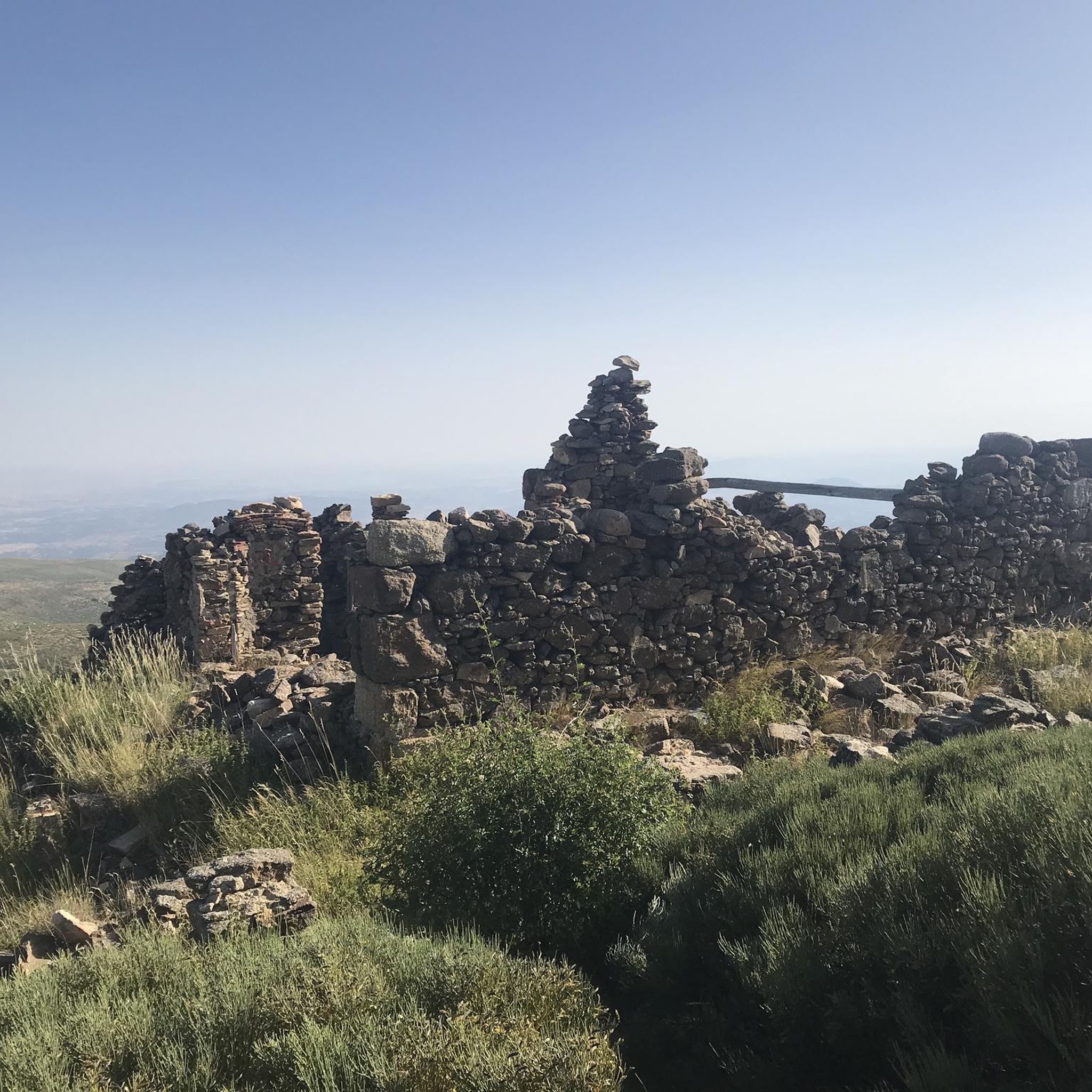
Old power plant that used the current of the waters of the Río Cuerpo del Hombre to create electricity. Its walls are currently there.
0
1

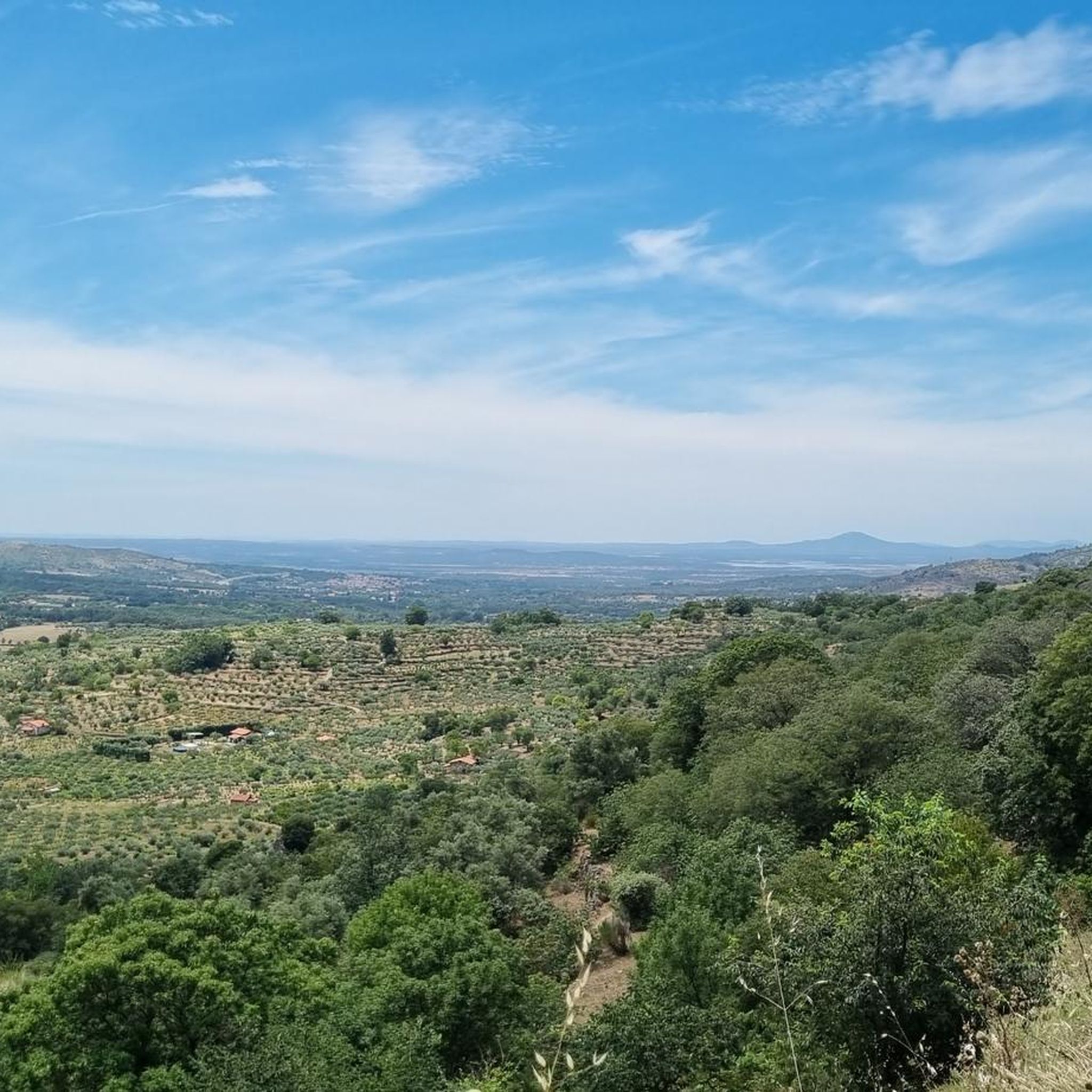
At a distance of just 2 km from the Collado de Los Buitres mountain pass, a good area to enjoy nature and breathe fresh air.
7
0

Nice dam on the Cuerpo de hombre river. Perfect for taking a dip on a hot summer day.
2
1

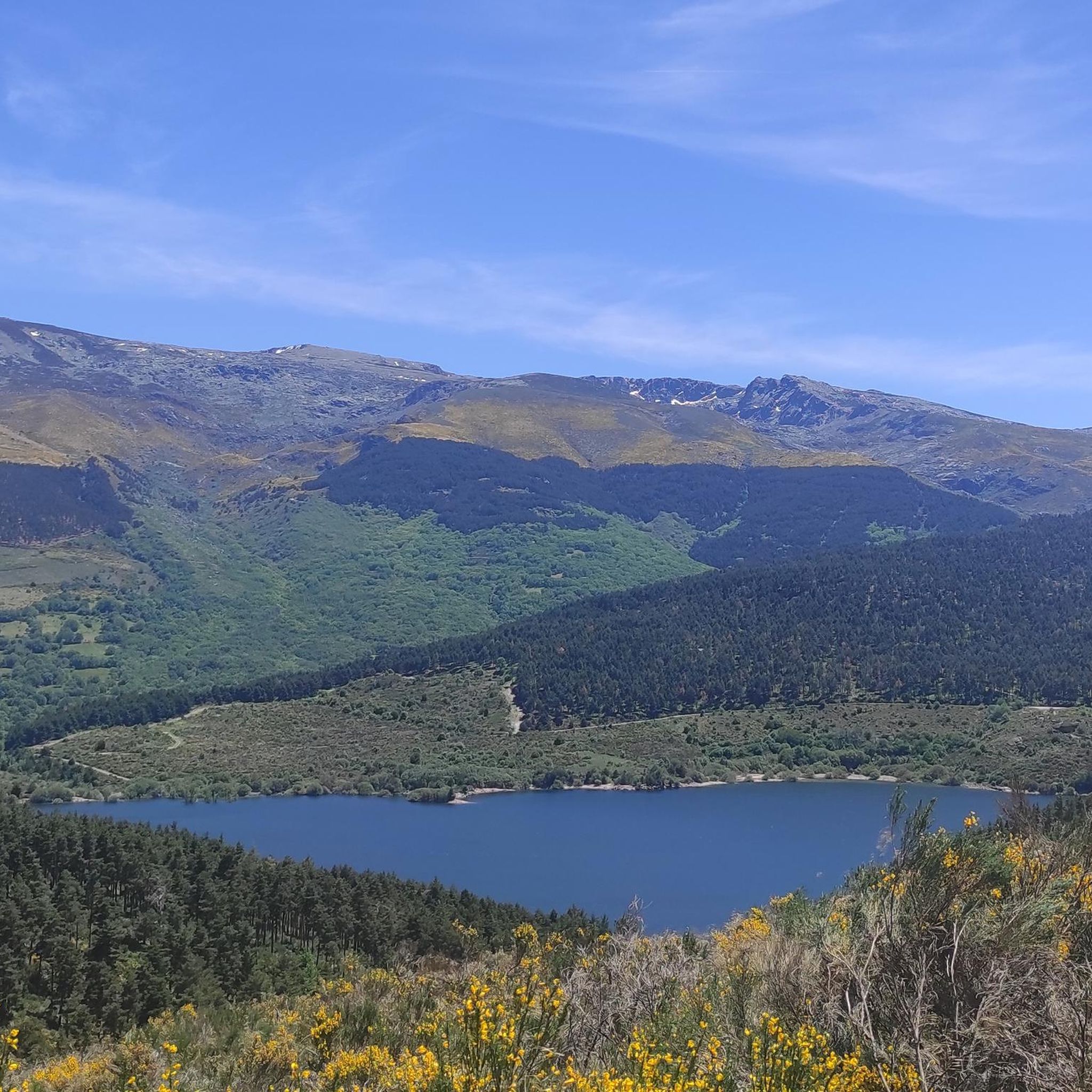
One of the many jewels offered by the Sierra de Candelario, the Navamuño Reservoir combines perfectly with the landscape that surrounds it.
1
0
The views from the dam towards the reservoir are postcard. On clear days you can fully appreciate this wonderful landscape that is worth visiting!
1
1
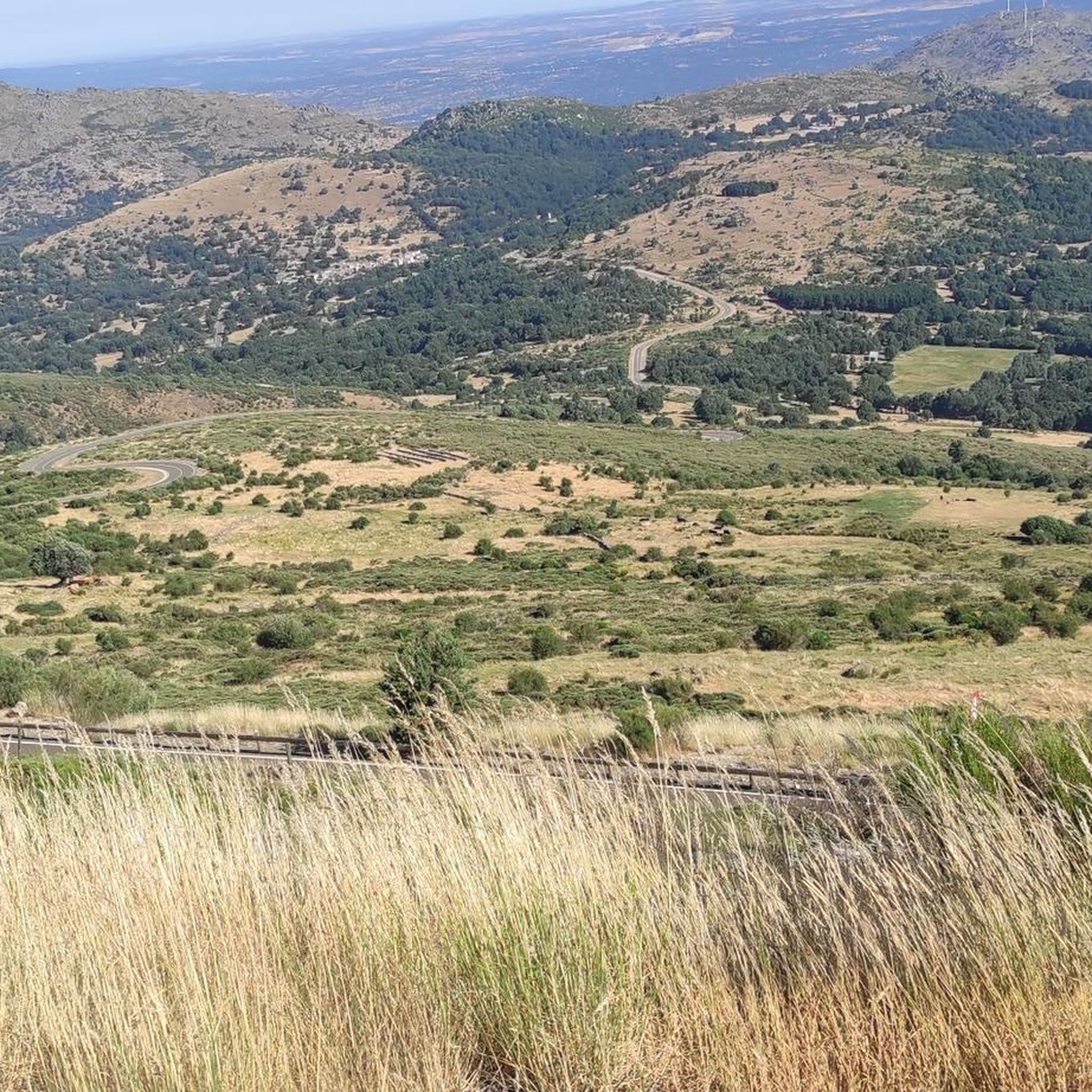
The top of Canchal Negro is located at 2,364 meters above sea level within the Sierra de Candelario Natural Area, a wonderful place worth visiting. Getting here has its price, the road can be demanding and technical in some sections, but the views are very comforting.
1
0
Another of the most important peaks of the Sierra de Candelario Park, the Calvitero rises above 2400 meters above sea level, offering wonderful panoramic views worthy of a postcard.
2
0
Beautiful place! The. Lagunas del Trampal are 3 lakes of glacial origin within the Sierra de Gredos Park and worth visiting, the landscape is wonderful at any time of the year.
1
1
Frequently Asked Questions
How many running routes are available in La Hoya?
La Hoya offers a wide selection of running routes, with over 60 trails available for exploration. These routes traverse varied terrain, including mountainous areas and natural spaces, providing a robust workout amidst natural beauty.
What kind of terrain can I expect on jogging routes in La Hoya?
Jogging routes in La Hoya are characterized by mountainous trails and natural parkland, often featuring significant elevation changes. You'll find a mix of challenging ascents and scenic paths, particularly through areas like the Sierra de Candelario Natural Space.
Are there any easy running routes for beginners in La Hoya?
While many routes in La Hoya are rated moderate to difficult due to the mountainous terrain and elevation changes, there is at least one easy route available. For those seeking a less strenuous run, it's advisable to check the route details for difficulty ratings before heading out.
Can you recommend a challenging circular running trail in La Hoya?
Absolutely! For a challenging circular run, consider the Hoya Moros and El Torreón Loop. This difficult 8.7-mile (13.9 km) trail features substantial elevation gain and typically takes around 2 hours 38 minutes to complete.
What are some other popular running routes in La Hoya?
Local runners highly recommend the Calvitero and Lagunas del Trampal Circular Trail, an 8.9-mile (14.4 km) difficult path through high-altitude landscapes. Another favorite is the Black Canchal via Las Cobatillas – circular running in the Sierra de Candelario Natural Space, a 5.4-mile (8.7 km) trail.
Are there any running routes that pass by lakes or reservoirs in La Hoya?
Yes, several routes offer views of water features. For instance, the Navamuño Reservoir – Candelario Town Hall loop from Candelario is a great option. You can also find highlights like the Navamuño Dam, Laguna del Duque, and Trampal Lagoons in the region.
What kind of landmarks or points of interest can I see while running in La Hoya?
La Hoya's running trails often lead through areas with notable landmarks and natural features. You might encounter the Torreón (Calvitero Summit), offering panoramic views, or the unique Peña de la Cruz and Balanced Boulder. The Vía Verde de la Plata also offers a scenic path.
Are there any moderate-difficulty running routes in La Hoya?
Yes, La Hoya offers a good selection of moderate-difficulty running routes. One such option is the Candelario Town Hall – Navamuño Dam loop from Candelario, which is a 12.8 km (8 miles) trail that takes approximately 1 hour 24 minutes to complete.
What do other runners enjoy most about jogging in La Hoya?
Runners frequently praise La Hoya for its diverse and challenging mountainous terrain, significant elevation changes, and the stunning natural beauty of areas like the Sierra de Candelario Natural Space. The variety of routes, from moderate to difficult, also allows for different levels of fitness and adventure.
How long are the running trails in La Hoya typically?
The running trails in La Hoya vary significantly in length. You can find routes ranging from shorter options like the 5.4-mile (8.7 km) Black Canchal via Las Cobatillas to longer, more demanding trails such as the 8.9-mile (14.4 km) Calvitero and Lagunas del Trampal Circular Trail.
Are there any historical or cultural sites near the running paths?
While the focus is on natural landscapes, you might encounter some historical elements. For example, the Béjar Station and Vía de la Plata Tunnel offers a glimpse into the region's past, and the Ermita del Humilladero is a religious building that could be seen along some routes.
Most popular attractions around La Hoya

Get inspired with the komoot mobile app


Explore more
Browse the best Running Trails & Routes in other regions.
