The best walks and hikes around La Calzada De Béjar
4.5
(155)
813
hikers
77
hikes
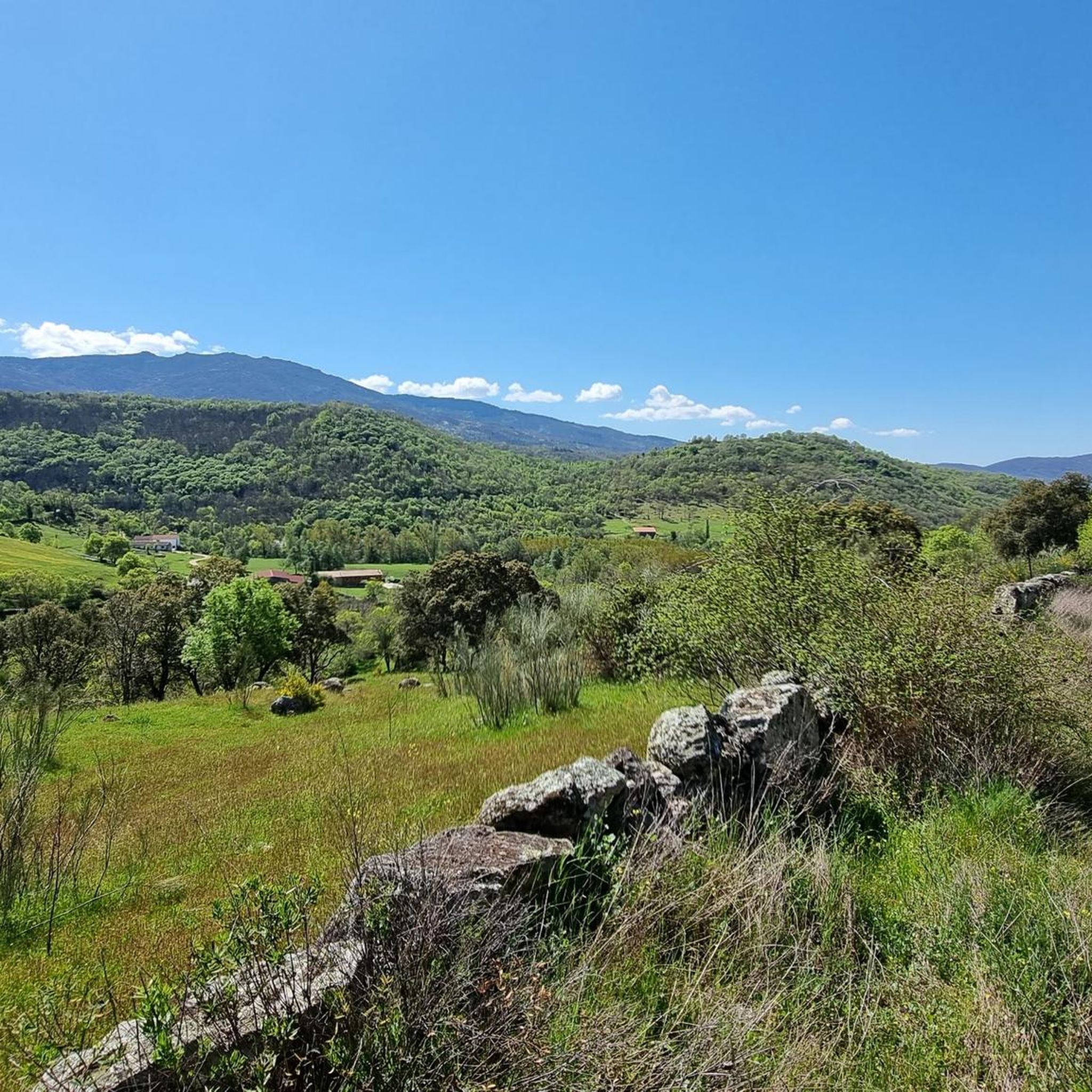
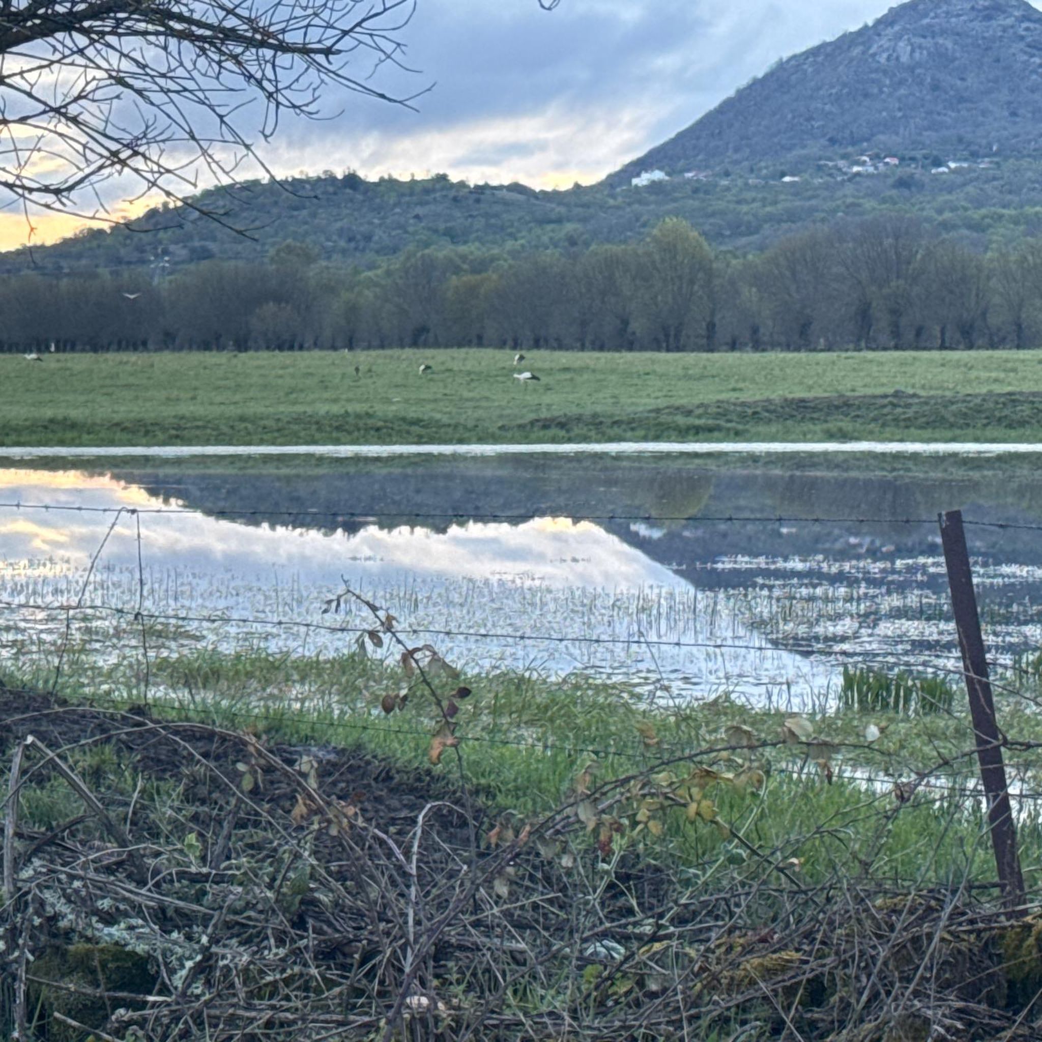
Hiking around La Calzada De Béjar offers access to a diverse landscape within the Sierra de Béjar region of Salamanca, Spain. The area features historical paths, including sections of the ancient Vía de la Plata, alongside varied natural terrain. Hikers can explore mountains, rugged hills, verdant meadows, and river valleys shaped by the Cuerpo de Hombre river. The region also contains chestnut forests and offers panoramic views of the Sierra de Béjar and the Ambroz Valley.
Best hiking trails around…
Last updated: June 24, 2026
4.21km
01:25
180m
180m
Hard hike. Great for any fitness level. Sure-footedness, sturdy shoes and alpine experience required.
4.4
(10)
26
hikers
13.2km
03:54
370m
370m
Moderate hike. Good fitness required. Easily-accessible paths. Suitable for all skill levels.

Sign up for free
5.0
(1)
12
hikers
5.99km
01:46
180m
180m
Easy hike. Great for any fitness level. Easily-accessible paths. Suitable for all skill levels.
5.0
(2)
14
hikers
15.1km
04:20
350m
350m
Moderate hike. Good fitness required. Easily-accessible paths. Suitable for all skill levels.
4.0
(2)
13
hikers
Moderate hike. Good fitness required. Easily-accessible paths. Suitable for all skill levels.
Get access to more routes and recommendations from other explorers.
Sign up for free
Already have an account?
Our route recommendations are based on thousands of hikes, rides, and runs completed by other people on komoot.
Start today with a free account
Your next adventure awaits.
Login or Signup

Tips from the Community

What to see in Montemayor del Río San Vicente Castle 13th-century fortress, renovated in the 14th-15th centuries. Today it houses the Medieval Interpretation Centre and a restaurant recommended by the MICHELIN Guide. From its tower, you can overlook the historic routes and the Cuerpo de Hombre river valley. Church of Our Lady of the Assumption 13th-century Romanesque-Gothic temple with figurative corbels and a 16th-century tower. Main Square Nerve centre with stately homes, the Royal Prison, and the 16th-century fountain with the justice pillory. Wall and cobbled streets Mountain architecture with timber framing, similar to Candelario and villages in the Sierra de Francia. San Antonio Hermitage (17th century) and Stone Bridge (1700) over the Cuerpo de Hombre river.
4
1
One of the most beautiful and least known villages in the Sierra de Béjar, declared a Historic-Artistic Site in 1982:
4
1

The bullring of the city of Béjar, in the province of Salamanca (Spain), better known as La Ancianita, is the oldest bullring preserved in Spain, inaugurated in 1711.2 Located on the Castañar mountain next to the Sanctuary of the Virgen del Castañar, two kilometers from Béjar.3
0
0

Small town of 70 registered inhabitants. Calle Mayor is the Roman road itself. The Camino de Santiago passes through here.
1
0
A short, shady and humid path to access the Roman fort.
1
0
Roman fort located on a hill to the east of the town of La Calzada de Béjar, which protects the Roman road that crossed the town along its main street.
1
0

Historical medieval town dominated by the imposing Castle of San Vicente, strategically located on the old commercial route of the Vía de la Plata. The village is surrounded by a beautiful landscape covered with chestnut trees on the slopes and valleys.
1
0

This hermitage receives the visitor as soon as they enter the Villa de Candalario and is called the hermitage of Santo Cristo del Refugio, on a large esplanade presided over by the Terminus Cross. Inside rests the Cristo del Refugio, of great devotion by the residents of the town.
2
0
Frequently Asked Questions
How many hiking trails are available around La Calzada De Béjar?
There are over 80 hiking routes available around La Calzada De Béjar, offering a diverse range of experiences within the Sierra de Béjar region. These trails are highly rated by the komoot community, with an average score of 4.6 stars.
What kind of terrain can I expect on hikes in La Calzada De Béjar?
The terrain around La Calzada De Béjar is quite varied, featuring a mix of mountains, rugged hills, and verdant meadows. You'll find paths winding through lush oak and chestnut forests, especially along riverbanks, and trails that follow ancient Roman roads. The landscape is shaped by the Cuerpo de Hombre River, creating picturesque areas with granite rock formations.
Are there options for different hiking skill levels?
Yes, the area caters to various fitness levels. You can find easy, moderate, and difficult trails. For example, the Viewpoint – Wolf's Spring, Béjar loop from Candelario is an easy option, while the La Ancianita bullring – Fountain of the Souls loop from Béjar offers a moderate challenge. For a more difficult ascent, consider the Santuario de Nuestra Senora del Castanar from Bejar.
Are there any historical routes or landmarks to explore while hiking?
Absolutely. A significant highlight is the ancient Vía de la Plata (Silver Way), a Roman road and pilgrimage route that passes through the area. You can walk long, straight sections marked by ancient *millarios*. There's also a Roman fort nearby, dating back to the 3rd and 4th centuries AD. The Church of Our Lady of the Assumption in La Calzada de Béjar itself showcases a blend of architectural styles and historical significance.
What natural features can I expect to see on the trails?
Hikers will encounter abundant oak and chestnut forests, especially along riverbanks and lower mountain slopes. The Cuerpo de Hombre River carves through the landscape, creating dramatic spots like the 'Tranco del Diablo' (Devil's Leap), where the river erodes granite rocks. The region also offers a combined landscape of mountains and meadows.
Are there any hikes with panoramic views?
Yes, the region boasts several viewpoints offering expansive vistas. The Viewpoint of the Station provides views of the village and the Baños reservoir. Hikes within the Sierra de Béjar, part of the larger Sierra de Gredos system, offer spectacular mountain scenery and opportunities to witness impressive peaks and the province of Salamanca.
Can I find trails near water or lakes?
The Cuerpo de Hombre River is a prominent feature, with paths often following its course. For larger bodies of water, you can find highlights like the Navamuño Dam and various viewpoints overlooking the Baños reservoir and the Ambroz Valley, such as the View of the Ambroz Valley and Reservoir.
Are there any circular hiking routes in the area?
Yes, many routes in the area are designed as loops. For instance, the Albergue Alba Soraya – La Calzada de Béjar loop from Béjar is a popular circular trail that covers varied terrain. The 'Sendero de las Fábricas' (Factories' Path), often starting from nearby Béjar, is another notable circular option.
What is the best time of year to go hiking in La Calzada De Béjar?
The region offers pleasant hiking conditions for much of the year. Spring and autumn are particularly recommended for their mild temperatures and vibrant natural colors, especially in the chestnut forests. Summer can be warm, but shaded forest paths and higher mountain routes provide relief. Winter hiking is also possible, especially on lower elevation trails.
Are there public transport options to access the trailheads?
While specific public transport details for every trailhead can vary, the area benefits from the 'Vía Verde' (Greenway), which follows an old railway line between Navalmoral de Béjar and Baños de Montemayor. This offers a gentler route and suggests historical connectivity that might still be reflected in local transport links to nearby towns like Béjar, which serves as a common starting point for many trails.
Where can I find parking for hiking trails?
Many popular trailheads, especially those starting from or near villages like La Calzada De Béjar or Béjar, typically offer designated parking areas. For specific routes, it's advisable to check the route details on komoot, as users often provide information about parking availability at the start of the trail.
Are there any family-friendly hiking options?
Yes, the region offers several easier trails suitable for families. The 'Vía Verde' (Greenway) is an excellent choice, providing a gentler, flatter path with panoramic views, ideal for a relaxed family outing. Look for routes marked as 'easy' on komoot for more family-friendly suggestions.
Are dogs allowed on the hiking trails?
Generally, dogs are welcome on most hiking trails in natural areas around La Calzada De Béjar. However, it's always recommended to keep them on a leash, especially in areas with livestock or wildlife, and to follow local regulations. Always carry water for your dog and clean up after them.
Most popular routes around La Calzada De Béjar
Most popular attractions around La Calzada De Béjar

Get inspired with the komoot mobile app


Explore more
Browse the best Hikes in other regions.
