The best running trails around Valleruela De Sepúlveda
5.0
(1)
64
runners
16
runs
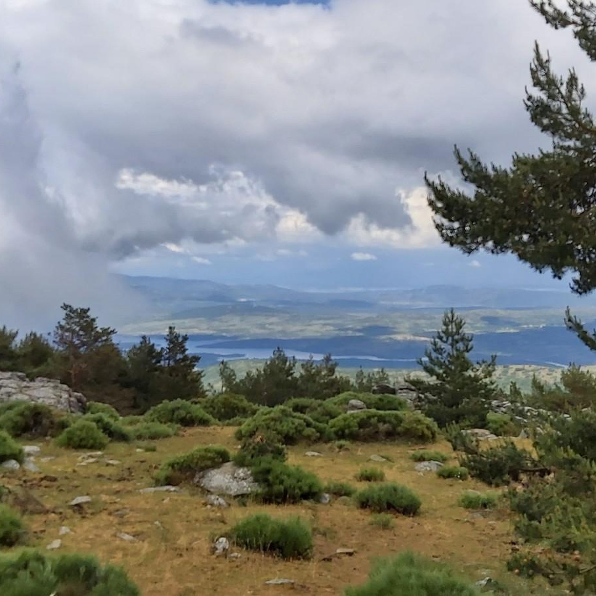
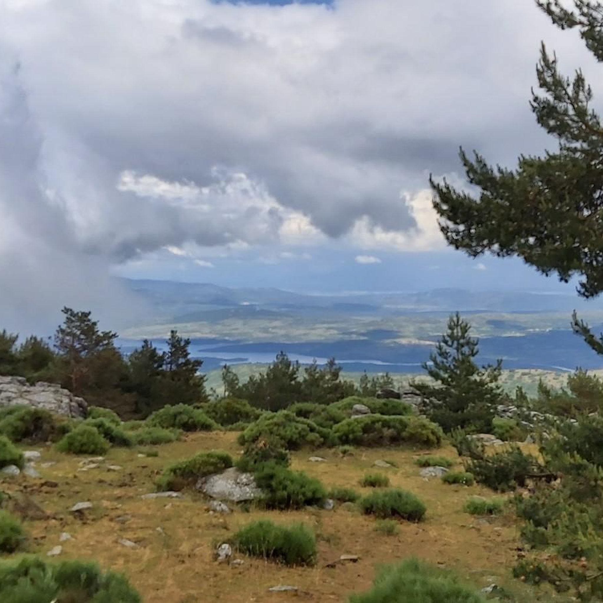
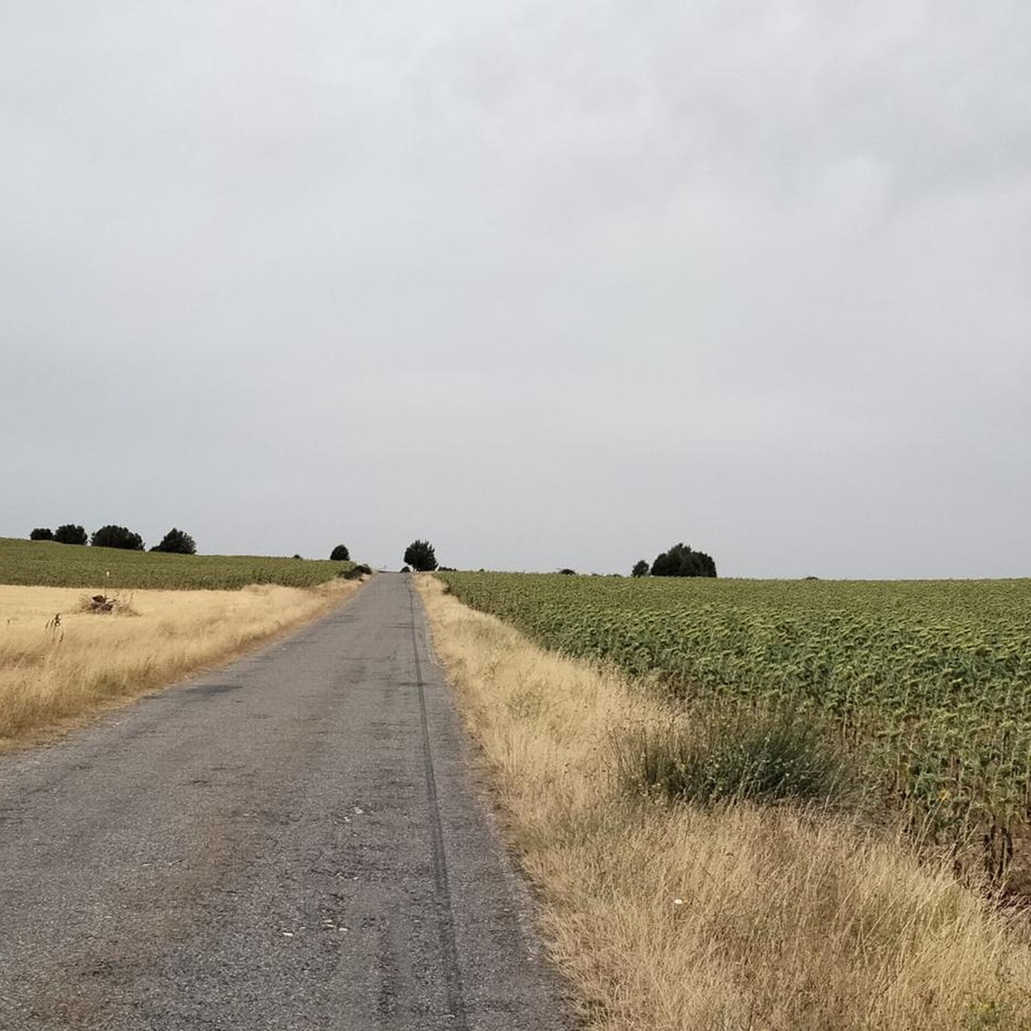
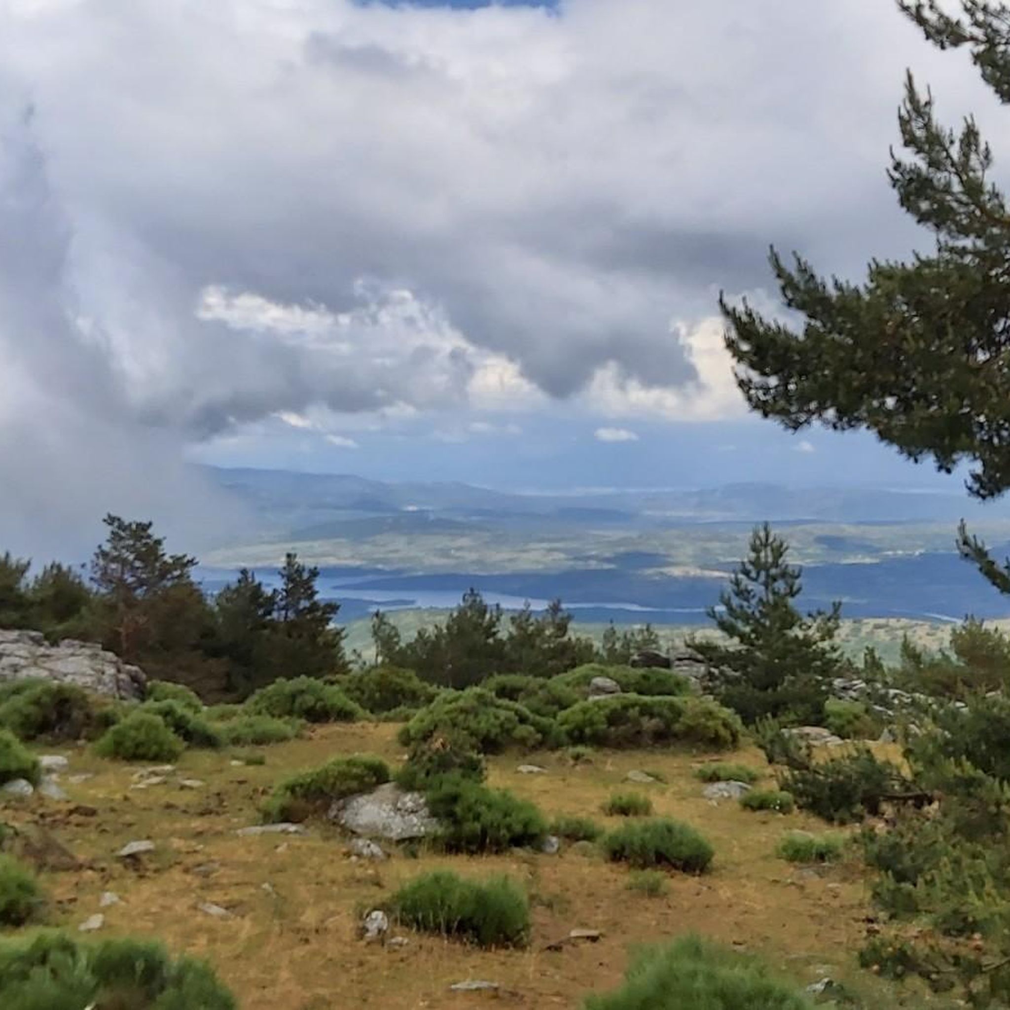
Jogging around Valleruela De Sepúlveda offers diverse landscapes across a limestone plateau, providing expansive views of the surrounding countryside and the distant Sierra de Guadarrama mountains. The terrain includes flat cereal fields, areas with small pine groves on sandy soils, and splendid forests of holm oaks, junipers, and savins. Calcareous moorlands, some reforested with holm oaks, also characterize the region, creating varied running environments.
Best jogging routes around Valleruela De Sepúlveda
- The most popular jogging route is Views of Pedraza…
Last updated: June 28, 2026
26
runners
13.1km
01:33
240m
250m
Moderate run. Good fitness required. Mostly paved surfaces. Suitable for all skill levels.
4
runners
5.34km
00:35
50m
50m
Moderate run. Good fitness required. Mostly paved surfaces. Suitable for all skill levels.

Sign up for free
3
runners
9.85km
01:06
100m
100m
Moderate run. Good fitness required. Mostly paved surfaces. Suitable for all skill levels.
3
runners
6.96km
00:46
50m
50m
Moderate run. Good fitness required. Mostly paved surfaces. Suitable for all skill levels.
3
runners
4.19km
00:27
30m
30m
Easy run. Great for any fitness level. Mostly paved surfaces. Suitable for all skill levels.
Get access to more routes and recommendations from other explorers.
Sign up for free
Already have an account?
Our route recommendations are based on thousands of hikes, rides, and runs completed by other people on komoot.
Start today with a free account
Your next adventure awaits.
Login or Signup
Tips from the Community

Medieval city center of a great region. Very suitable for tourism.
0
0

San Pedro de Gaíllos is a town located at the entrance to the great plains in the north of the province of Segovia. The town, with its church as its flag, governs the core.
1
0
Before reaching the town of Pedraza itself, there are beautiful views of the town, located at the top of a hill.
2
0
San Pedro de Gaíllos is a town located at the entrance to the great plains in the north of the province of Segovia. The town, with its church as its flag, governs the core.
0
1
Frequently Asked Questions
How many running routes are available in Valleruela De Sepúlveda?
There are 15 dedicated running routes around Valleruela De Sepúlveda, offering a variety of experiences for joggers of all levels.
Are there easy running paths suitable for beginners or families?
Yes, Valleruela De Sepúlveda offers 1 easy running route. For a gentle introduction, consider the Running loop from Matabuena, which is 4.2 km long and features minimal elevation changes.
What kind of terrain can I expect on the jogging routes in this region?
Joggers in Valleruela De Sepúlveda will encounter diverse terrain, including flat cereal fields, areas with small pine groves on sandy soils, and splendid forests of holm oaks, junipers, and savins. The region is characterized by its limestone plateau, offering varied landscapes and calcareous moorlands.
Are there any long-distance running trails in the area?
For those seeking a longer run, the Views of Pedraza loop from Pedraza is a moderate 13.1 km trail that offers panoramic views across the landscape.
Can I find circular running routes in Valleruela De Sepúlveda?
Yes, many of the running routes in the area are circular. For example, the Charca del Barrero loop from Arcones is a moderate 5.3 km path that leads through varied terrain, including fields and small pine groves.
What natural features or landmarks can I see while jogging around Valleruela De Sepúlveda?
The region boasts panoramic views of the Sierra de Guadarrama mountains and ancient forests with holm oaks and junipers. You might also encounter historical sites like the Ermita del Cristo del Humilladero, located near impressive centenary trees. Nearby attractions include the Vulture Cliff and the Hoces del Duratón Natural Park.
Are there any routes that pass by historical sites or points of interest?
Yes, the area is rich in history. The Camino de San Frutos, a significant historical path, traverses the municipal territory. Within the village, you can find the 16th-century Church of Nuestra Señora del Barrio, the Ermita del Cristo del Humilladero, and the ruins of the Torre del Cerro, which can serve as interesting markers during your run.
Is Valleruela De Sepúlveda suitable for dog-friendly running?
While many natural areas in Spain are dog-friendly, it's always best to check local regulations, especially if your route approaches protected areas like the Hoces del Duratón Natural Park, where specific rules for dogs may apply to protect wildlife.
Where can I park when accessing the running trails?
Parking is generally available in and around the villages that serve as starting points for the routes, such as Valleruela de Sepúlveda itself, Pedraza, Arcones, or San Pedro de Gaíllos. Look for designated parking areas or suitable roadside spots.
How can I reach Valleruela De Sepúlveda using public transport?
Public transport options to Valleruela de Sepúlveda are limited. It is advisable to check local bus schedules from larger towns like Segovia, as services to smaller villages often have infrequent timings. Driving is generally the most flexible option for accessing the trailheads.
What do other runners say about the trails in Valleruela De Sepúlveda?
The running routes in Valleruela De Sepúlveda are highly rated by the komoot community, with an average score of 5.0 stars. Runners often praise the varied terrain, expansive views, and the opportunity to explore both natural beauty and historical sites.
Are there any challenging running routes for experienced runners?
Yes, for more experienced runners, there are 3 difficult routes available. These routes typically feature greater elevation changes and more demanding terrain, providing a good challenge. An example of a moderate route with some elevation is the San Pedro de Gaíllos loop from San Pedro de Gaíllos, which covers 9.8 km through open countryside and moorlands.
Are there any routes with panoramic views?
Absolutely. Valleruela de Sepúlveda is situated on a limestone plateau, providing expansive views of the surrounding countryside and the distant Sierra de Guadarrama mountains. The Views of Pedraza loop from Pedraza is specifically highlighted for its panoramic vistas.
Most popular routes around Valleruela De Sepúlveda
Most popular attractions around Valleruela De Sepúlveda

Get inspired with the komoot mobile app


Explore more
Browse the best Running Trails & Routes in other regions.
