The best running trails around Cosuenda
5.0
(3)
162
runners
25
runs
Jogging routes around Cosuenda are primarily found within the Sierra de Algairén, a mountain range characterized by diverse forests including oak, holm oak, maple, and pine. The terrain features a mix of forest trails and dirt/gravel roads, offering varied surfaces for running. Elevations range from gentle inclines to more challenging ascents towards prominent features like the Mirador de la Falaguera and Cerro del Espino. This region provides a natural setting for outdoor activities, with its trail network well-suited for runners seeking diverse landscapes.
Best jogging routes around Cosuenda
- The most popular jogging route is Collado de la Hermana y Cerro del Espino desde el Raso de la Cruz — Sierra de Algairén, a 10.8 miles (17.3 km) trail that takes 2 hours 27 minutes to complete. This difficult route offers significant elevation gain through the Sierra de Algairén.
- Another top favourite among local runners is Aunt's Trail loop from Albergue de Aguarón, a difficult 12.4 miles (20.0 km) path. This route features extensive forest sections and notable climbs, providing a challenging running experience.
- Local runners also love the "La Peña Val de Tobarcé" – Mirador de "Val de Cerezo" loop from Albergue de Aguarón, a 7.0 miles (11.2 km) trail leading through forested slopes and towards viewpoints, often completed in about 1 hour 42 minutes.
- Jogging around Cosuenda is defined by diverse forests, mountain trails, and panoramic viewpoints. The network offers options for different ability levels, though many routes present significant challenges.
- The routes in Cosuenda are highly rated by the komoot community with an average score of 5.0 stars from 3 reviews. More than 100 runners have used komoot to explore Cosuenda's varied terrain.
Last updated: June 30, 2026
17
runners
Hard run. Very good fitness required. Mostly paved surfaces. Suitable for all skill levels.
34
runners
20.0km
02:55
960m
960m
Hard run. Very good fitness required. Mostly paved surfaces. Suitable for all skill levels.

Sign up for free
26
runners
18.1km
02:39
860m
860m
Hard run. Very good fitness required. Mostly paved surfaces. Suitable for all skill levels.
10
runners
25.7km
03:40
1,030m
1,030m
Hard run. Very good fitness required. Mostly paved surfaces. Suitable for all skill levels.
10
runners
10.9km
01:42
530m
530m
Hard run. Very good fitness required. Mostly paved surfaces. Suitable for all skill levels.
Get access to more routes and recommendations from other explorers.
Sign up for free
Already have an account?
Our route recommendations are based on thousands of hikes, rides, and runs completed by other people on komoot.
Start today with a free account
Your next adventure awaits.
Login or Signup
Tips from the Community

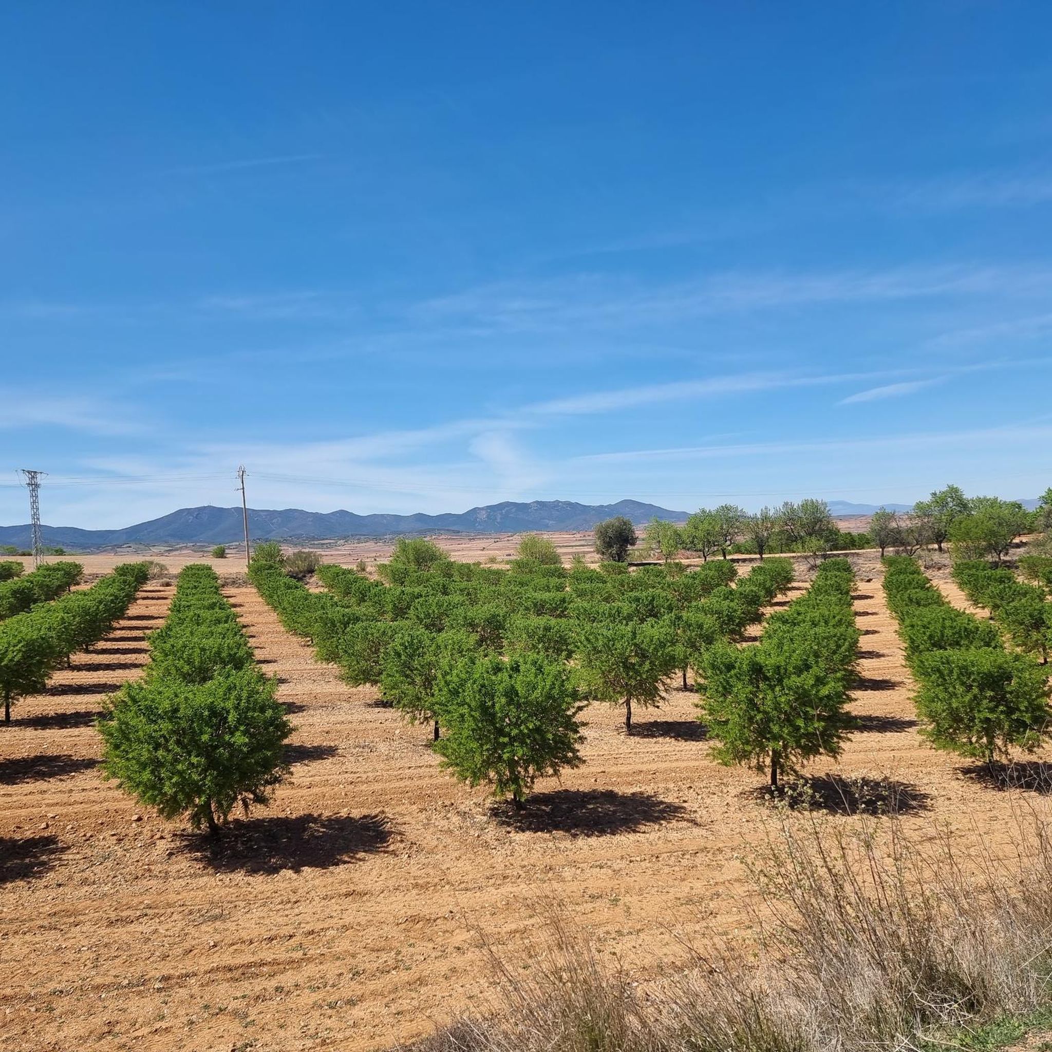
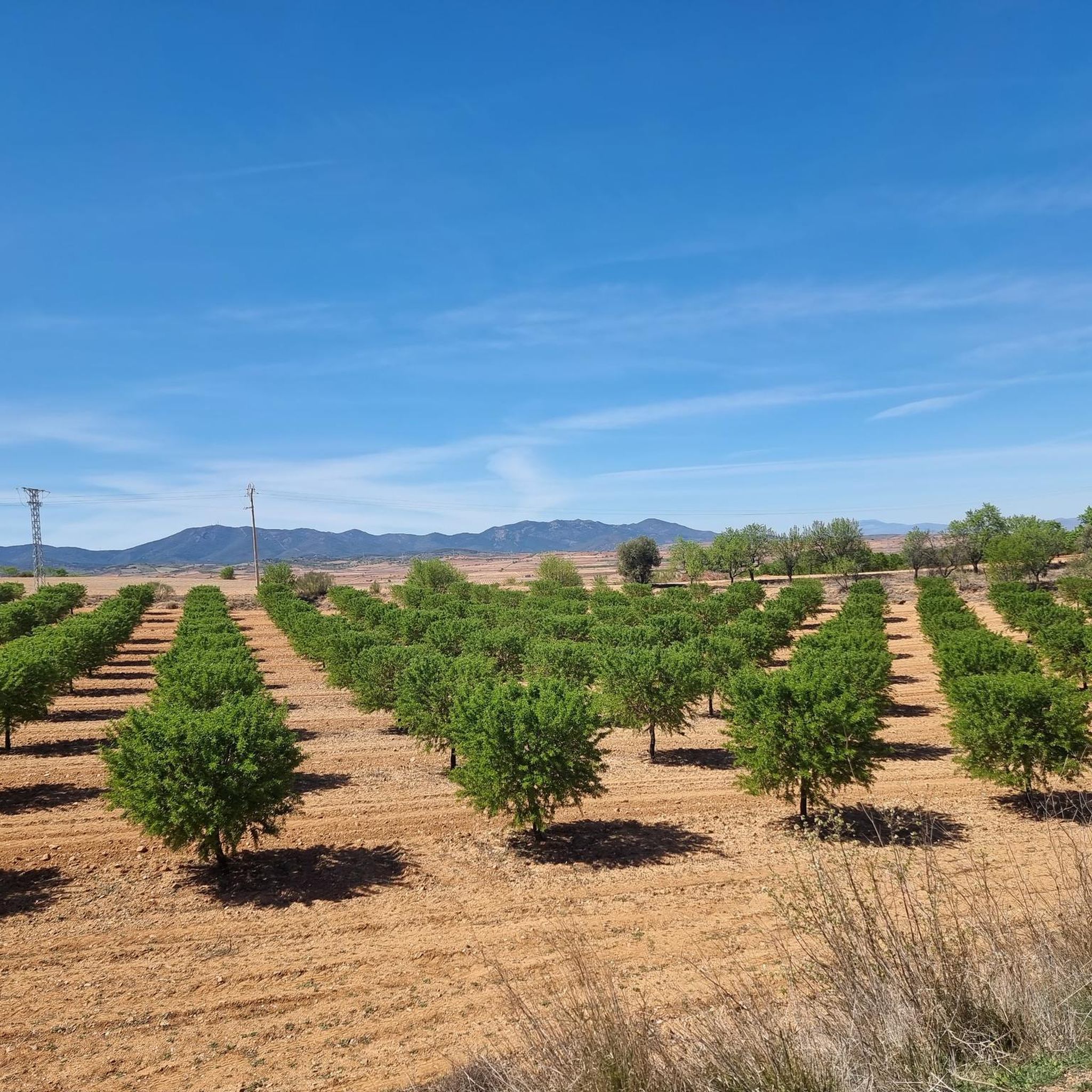
Crossroads between the Valdemadera peak, the Tiermas valley and Cerro del Espino
0
0

Beautiful hill located in the middle of a long trail.
0
0

We find beautiful views from the Tío Franisco pass, a connection point between the Cosuenda area and the Tiernas de Alpartir ravine
1
0
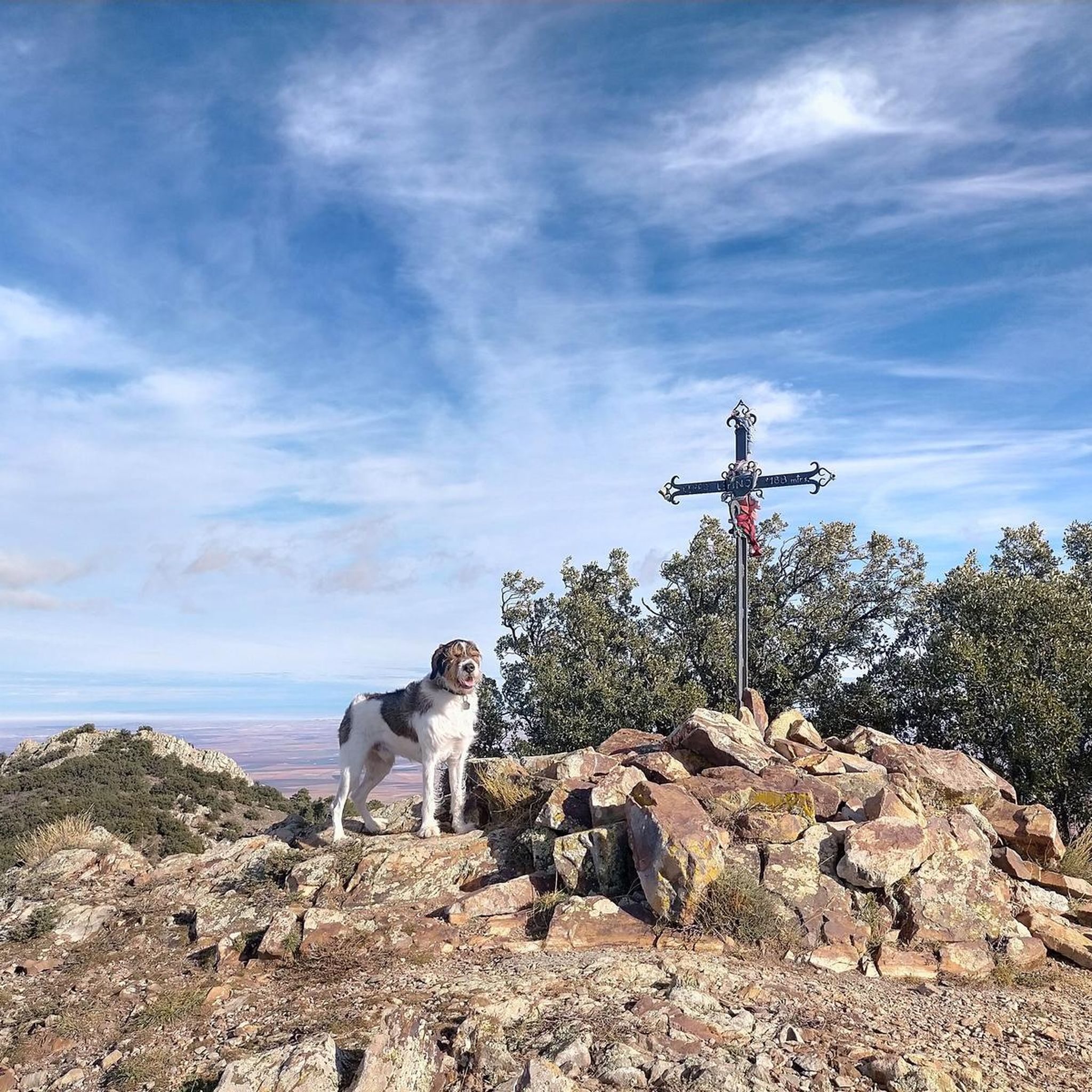
Cerro del Espino is located in the center of the Sierra de Algairén, between Almonacid de la Sierra and Cosuenda, which is 50 kilometers from Zaragoza. At the top of this mountain, we will find a metal cross that is usually adorned with handkerchiefs and the typical cachirulo of the Aragonese lands.
1
0
Located 1038 meters above sea level and on the path of La Lechera, we find this beautiful picture in the Collado de la Hermana with views of the top of Monte del Cortado
1
0
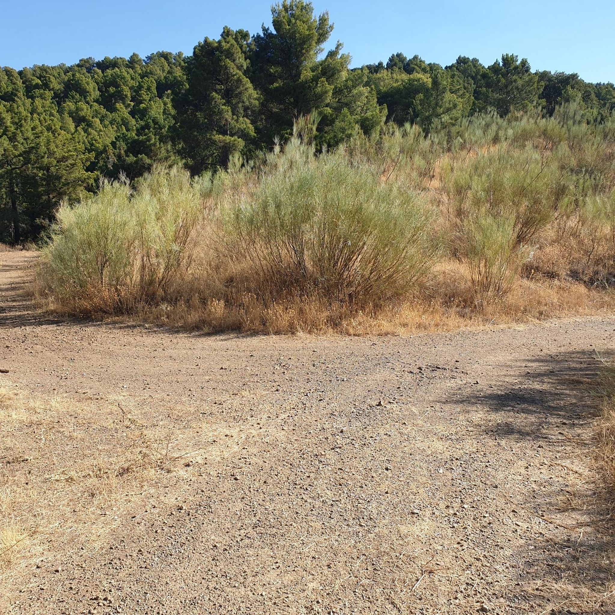
We find ourselves going up the ravine of the hortales, by the path known as the one of the Tía. It will guide us until we reach the North range of the Sierra de Algairén. Nice path with awesome views when you reach the top.
1
0
Cerro del Espino is located in the center of the Sierra de Algairén, between Almonacid de la Sierra and Cosuenda, which is 50 kilometers from Zaragoza. At the top of this mountain, we will find a metal cross that is usually adorned with handkerchiefs and the typical cachirulo of the land.
1
0
Frequently Asked Questions
What kind of terrain can I expect on the running routes around Cosuenda?
The running routes in Cosuenda, primarily within the Sierra de Algairén, offer a diverse mix of terrain. You'll find shaded forest trails, including oak, holm oak, maple, and pine sections, as well as dirt and gravel roads. The topography ranges from gentle inclines to more challenging ascents, providing varied surfaces for your run.
Are there any easy running routes for beginners in Cosuenda?
While many of the routes in Cosuenda are rated as difficult, there are options suitable for easier jogging. The local municipality highlights routes like A1 and A2 within the Sierra de Algairén, designed for enjoying nature without significant difficulties. Additionally, the 3.5 km Cosuenda-El Santo Multi Trail is explicitly recommended for trail running with an "easy overall physical rating" and a manageable 146m climb, making it a great accessible option.
What are some notable viewpoints or landmarks I can see while running in the region?
The Sierra de Algairén offers several inspiring sights. You can run towards the Mirador de la Falaguera, a viewpoint at 1177 meters offering spectacular panoramic views. The Cerro del Espino is another prominent summit with extensive vistas. Routes like Collado de la Hermana y Cerro del Espino desde el Raso de la Cruz — Sierra de Algairén incorporate these features. You might also pass by the Collado de la Luz or the Ridge of the Sierra de Algairén.
Where is a good starting point for many of the running trails in Cosuenda?
The Raso de la Cruz recreational area serves as an excellent and popular starting point for several circular trails that ascend into the Sierra de Algairén. Many routes, such as Collado de la Hermana y Cerro del Espino desde el Raso de la Cruz — Sierra de Algairén, begin from here, offering convenient access to the diverse forest paths.
Are there any circular running routes available in Cosuenda?
Yes, Cosuenda offers several circular running routes. For example, the Aunt's Trail loop from Albergue de Aguarón and the "La Peña Val de Tobarcé" – Mirador de "Val de Cerezo" loop from Albergue de Aguarón are popular options that allow you to start and finish in the same location, providing a complete running experience through varied landscapes.
What is the best time of year to go jogging in Cosuenda?
Cosuenda's diverse forests, including oak and pine, provide shaded routes that are ideal for runners. This suggests that jogging is enjoyable across multiple seasons. The presence of mushroom foraging in season (like "rebollón" or "colmenilla") indicates that autumn can be particularly scenic. Spring and early summer would also offer pleasant temperatures and lush greenery, while the shade would be welcome in warmer months.
How many running routes are there in Cosuenda?
There are over 20 running routes available around Cosuenda, offering a wide range of options for different preferences and fitness levels. The komoot community has explored these trails extensively, with over 100 runners using komoot to discover the area.
What do other runners enjoy most about jogging in Cosuenda?
The running routes in Cosuenda are highly rated by the komoot community, with an average score of 5.0 stars. Reviewers often praise the diverse forests, the challenging mountain trails, and the rewarding panoramic viewpoints that make for an engaging and scenic running experience.
Are the running trails in Cosuenda suitable for families?
While many routes in Cosuenda present significant challenges due to elevation and distance, there are easier options that could be suitable for families looking for a less strenuous run or walk. The local municipality highlights easy hiking routes (A1 and A2) that are designed for enjoying nature without significant difficulties, which could be adapted for family outings.
Can I bring my dog on the running trails in Cosuenda?
The Sierra de Algairén, with its extensive natural environment, is generally welcoming to outdoor activities. While specific rules for dogs on every trail are not detailed, it's common for natural areas like this to allow dogs on leash. We recommend checking local signage at trailheads or the Cosuenda municipal website for any specific regulations regarding pets on trails.
Are there any long-distance running options for experienced trail runners?
Absolutely. Cosuenda is well-suited for experienced trail runners seeking longer distances and significant elevation. Routes like Collado de la Hermana loop from Albergue de Aguarón, which spans over 25 kilometers with substantial climbs, provide an excellent challenge for endurance training and long-distance running.
What kind of natural features make Cosuenda a good place for running?
Cosuenda is nestled in the Sierra de Algairén, an area recognized for its ecological value within the Natura 2000 Network. Runners can enjoy diverse forests, including oak, holm oak, maple, pine, and wild cherry trees, providing picturesque and shaded routes. The region's rich floristic and faunistic diversity, combined with varied topography, creates a dynamic and inspiring environment for outdoor activity.
Most popular attractions around Cosuenda

Get inspired with the komoot mobile app


Explore more
Browse the best Running Trails & Routes in other regions.
