Top 7 Hikes and Walks around Valhermoso De La Fuente
4.5
(73)
395
hikers
8
hikes
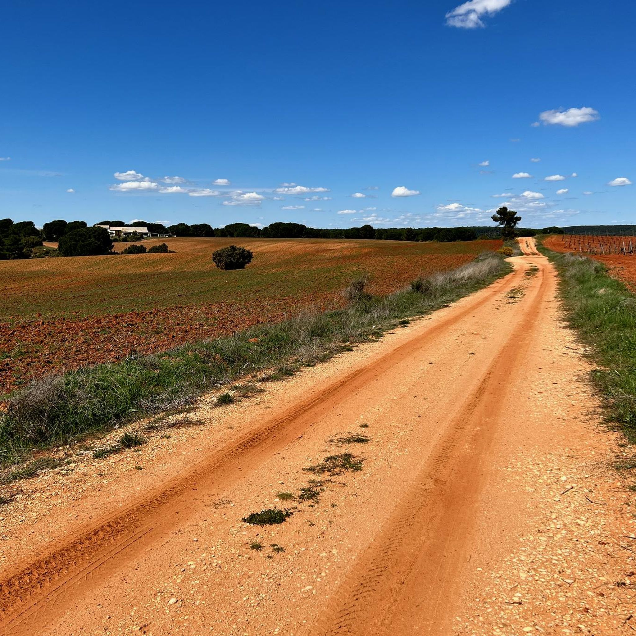
Hiking trails around Valhermoso De La Fuente are primarily located in the province of Cuenca, Spain, characterized by its varied terrain. The region features river valleys, such as those carved by the Júcar River, and areas with historical landmarks. Elevation changes are present, offering diverse hiking experiences from gentle riverside paths to more challenging ascents. The landscape includes a mix of forested areas and open views, providing a range of natural features for exploration.
Best hiking trails around Valhermoso De…
Last updated: July 8, 2026
4.7
(24)
143
hikers
9.10km
02:46
220m
220m
Hard hike. Good fitness required. Sure-footedness, sturdy shoes and alpine experience required.
4.7
(19)
129
hikers
8.64km
02:33
230m
230m
Moderate hike. Good fitness required. Easily-accessible paths. Suitable for all skill levels.

Sign up for free
4.9
(16)
53
hikers
6.98km
02:04
200m
200m
Moderate hike. Good fitness required. Mostly accessible paths. Sure-footedness required.
4.9
(9)
43
hikers
5.17km
01:29
120m
120m
Moderate hike. Great for any fitness level. Mostly accessible paths. Sure-footedness required.
4.0
(1)
11
hikers
3.04km
00:55
100m
100m
Easy hike. Great for any fitness level. Easily-accessible paths. Suitable for all skill levels.
Get access to more routes and recommendations from other explorers.
Sign up for free
Already have an account?
Our route recommendations are based on thousands of hikes, rides, and runs completed by other people on komoot.
Start today with a free account
Your next adventure awaits.
Login or Signup
Popular around Valhermoso De La Fuente
Tips from the Community

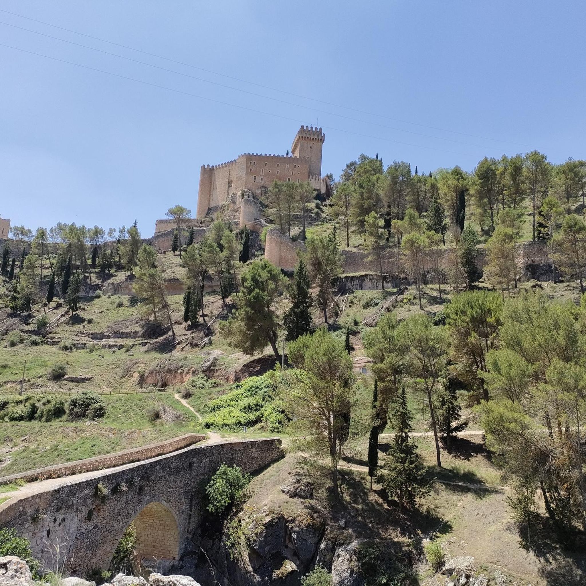
A beautiful castle, now converted into a Parador (state-run hotel).
0
1
Accessible by a higher path or by the PR, from the neighboring tower.
0
0
What better description for the gate in the city wall that faces the river.
0
0
Very, very close to the other two churches.
0
0
In the main square of Alarcón.
0
0
Impressive in stature, one of the town's several churches.
0
0
In my opinion, the best viewpoint in Alarcón is truly impressive.
1
0
Frequently Asked Questions
How many hiking trails are available in this region?
There are over 8 hiking routes in the area, offering a range of experiences from easy walks to more challenging ascents. The komoot community has highly rated these trails, with an average score of 4.5 stars.
What kind of terrain can I expect on hikes here?
The region offers a varied terrain, from lush laurel forests typical of areas like Garajonay National Park to dry volcanic slopes and coastal paths with sea views. You'll find paths through river valleys, such as those carved by the Júcar River, and areas with significant elevation changes, providing diverse natural features for exploration.
Are there any family-friendly hiking options?
Yes, the area provides options suitable for families. While specific family-friendly routes are not detailed, the diverse trail network includes easier walks. For example, the Alarcón Castle – Alarcón Viewpoint loop from Alarcón is an easy 3.1 km trail that offers scenic views without significant difficulty.
What are some notable natural features or landmarks to see while hiking?
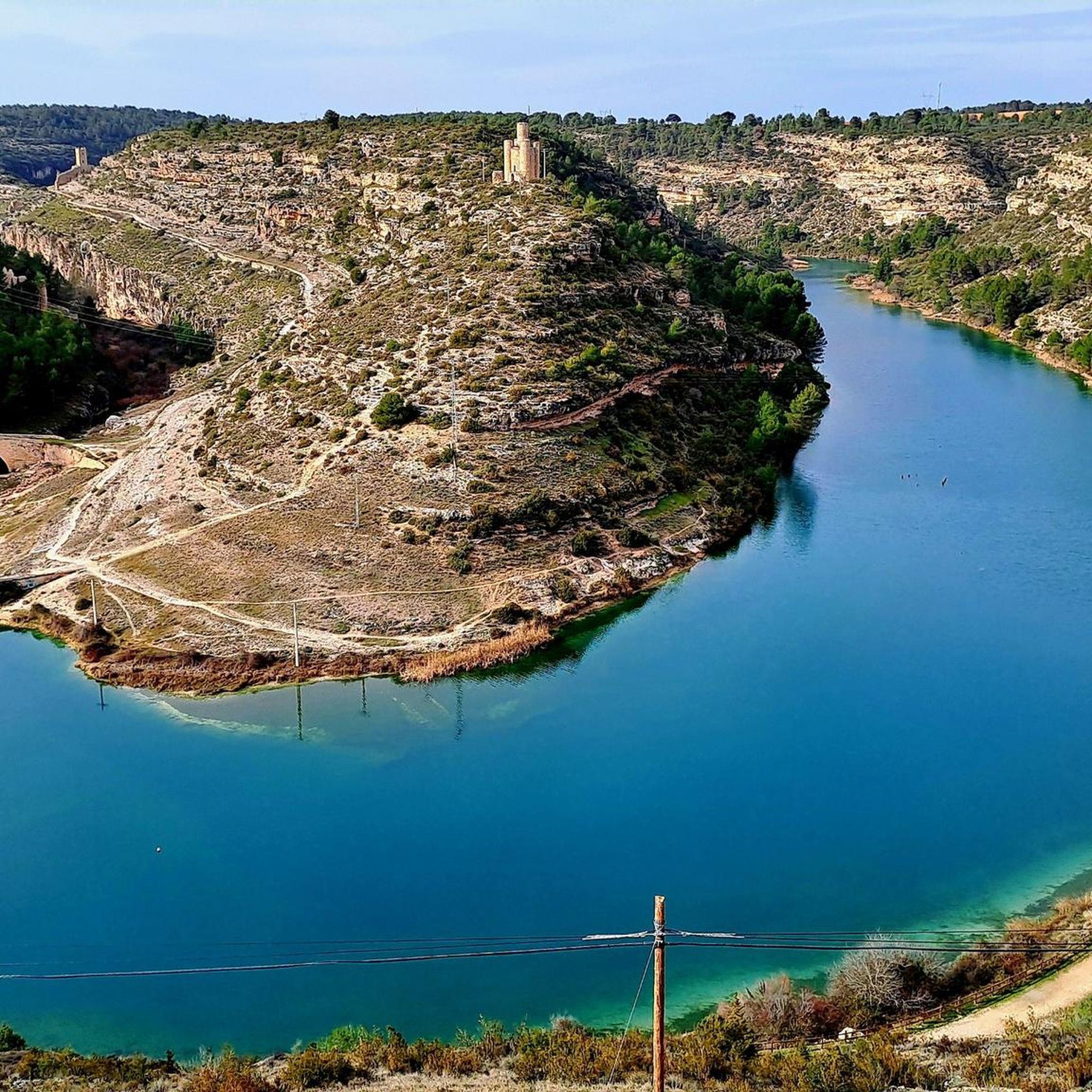
Hikers can explore a variety of natural and historical landmarks. The impressive Alarcón Castle is a prominent feature, and routes like the Castle of Alarcón – Beautiful view of the Júcar River loop from Alarcón offer scenic views of the Júcar River. You can also discover the unique geological formations like the Trail through the Gorges of Alarcón, or visit the Alarcón Reservoir.
Are there any circular routes available for hiking?
Yes, several circular routes are available. A popular option is the Sendero de la Hoz de Alarcón – circular route (PR-CU 71), which is a 9.1 km trail. Another well-liked loop is the Alarcón Castle – Alarcón Castle loop from Alarcón, covering 6.7 km around the historic castle.
What is the best time of year to go hiking in this region?
The region's diverse ecosystems, from dense forests to volcanic slopes, make it suitable for hiking across various seasons. Spring and autumn generally offer pleasant temperatures for exploring. However, the unique laurel forests, such as those found in Garajonay National Park, can provide a comfortable, often mist-shrouded experience even during warmer months.
What are the difficulty levels of the trails?
The trails cater to various ability levels. You'll find easy walks, moderate paths, and more difficult ascents. For instance, the Sendero de la Hoz de Alarcón – circular route (PR-CU 71) is classified as difficult, while the Forest Trail Along the River loop from Alarcón is a moderate option.
Can I find trails with good viewpoints?
Absolutely. The region is known for its expansive views. Trails leading to volcanic plateaus like La Fortaleza de Chipude offer panoramic vistas across the island. Closer to the main town, routes such as the Alarcón Castle – Alarcón Viewpoint loop from Alarcón provide excellent opportunities to take in the surrounding landscape.
Are there any protected natural areas to explore?
Yes, the region is rich in protected natural areas. A significant portion falls within Garajonay National Park, a UNESCO World Heritage Site, famous for its ancient laurel forests. Other protected landscapes include areas like Roque Blanco Natural Monument and Lomo del Carretón Natural Monument, offering unique geological and botanical interest. For more details on these areas, you can visit Vallehermoso's Natural Heritage website.
What do other hikers enjoy most about hiking in this region?
The area is highly rated by the komoot community, with an average score of 4.5 stars from over 50 reviews. Hikers often praise the diverse scenery, which transitions from dense forests to open volcanic landscapes and river views, as well as the well-maintained network of trails that connect various points of interest.
Are there opportunities for wildlife spotting?
The diverse ecosystems, particularly within Garajonay National Park and other protected areas, provide habitats for various species. While specific wildlife sightings can vary, the lush laurel forests and varied landscapes offer a chance to observe local flora and fauna unique to the Canary Islands.
Are there any coastal hiking options?
Yes, the region offers coastal areas that contrast with the inland valleys and forests. While specific coastal hiking routes are not detailed in the provided data, the general description of the area includes coastal zones with sea views, suggesting opportunities to explore paths leading towards the ocean, such as those near Vallehermoso Beach and El Pescante.
Most popular routes around Valhermoso De La Fuente
Most popular attractions around Valhermoso De La Fuente

Get inspired with the komoot mobile app


Explore more
Browse the best Hikes in other regions.
