The 8 Most Amazing Peaks around San Esteban Del Valle
Best mountain peaks around San Esteban Del Valle are situated within the Sierra de Gredos, offering access to diverse mountainous terrain. This region is characterized by granite formations and significant elevations, providing a setting for various outdoor activities. San Esteban Del Valle serves as a base for exploring these natural features. The area presents a range of peaks and passes, each with distinct characteristics and viewpoints.
Best mountain peaks around San Esteban Del Valle
- The most popular mountain peaks is…
Last updated: June 29, 2026
Puerto de Mijares
Highlight • Mountain Pass
Translated by Google •
Tip by

Serranillos Pass
Highlight • Mountain Pass
Translated by Google •
Tip by

Sign up now to discover places like this
Get recommendations on the best single tracks, peaks, & plenty of other exciting outdoor places.
Sign up for free
Pico Torozo
Highlight • Summit
Translated by Google •
Tip by

La Fría (1,983 m)
Highlight • Summit
Translated by Google •
Tip by

Cabezo de Gavilanes
Highlight • Summit
Translated by Google •
Tip by

Sign up for free to discover even more peaks around San Esteban Del Valle.
Sign up for free
Already have an account?
Start today with a free account
Your next adventure awaits.
Login or Signup

Tips from the Community

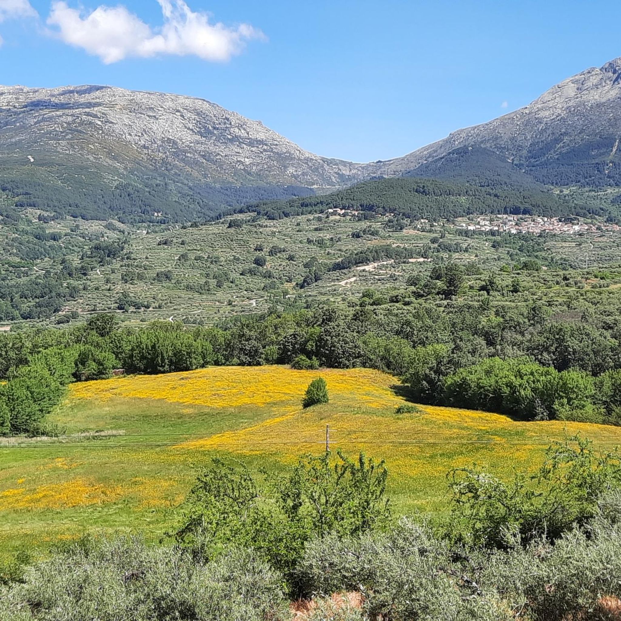
The Serranillos Pass is one of the most iconic mountain passes in the Sierra de Gredos, famous for its beauty and for being a historic stage in the Vuelta a España (Hinault's legendary stage in 1983). Views of the Cinco Villas Valley and the Gredos peaks. Spectacular scenery throughout the climb. Signage with gradient and remaining distance information. Ideal for linking up with Puerto del Pico, Pedro Bernardo, and Mijares for an epic stage.
1
0
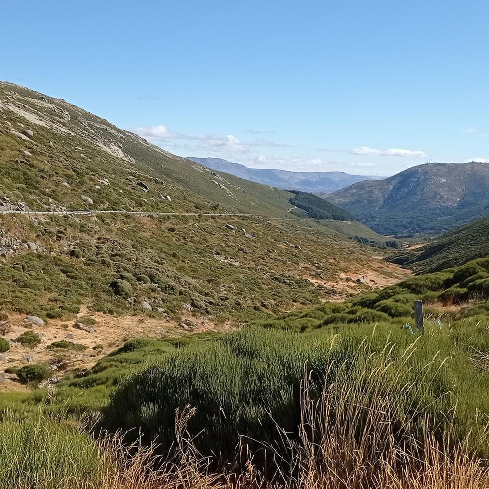
The Mijares Pass is one of the great mountain passes in the Sierra de Gredos, highly prized by cyclists for its length, elevation gain, and scenic beauty. Maximum gradient: 11% (on short ramps before Mijares). There are several steep sections in the villages and near the Horcajo area, as well as another one 2 km from the summit.
1
0

You cool down very quickly up here, especially when it's windy.
7
0

Highest point 1580 on this route, there is a large parking lot to enjoy the view.
16
0

A legendary mountain pass in the Vuelta a España and in the Gredos mountain range, along with Serranillos, Peña Negra, Pedro Bernardo, and Puerto del Pico. It's a namesake of Serranillos, as it connects the same valleys, running parallel. Like Serranillo, it's a pass with a gentle, continuous gradient and uneven, bumpy asphalt, which is typical of this area. A pass of thermal contrasts: in winter, you're freezing cold, and in summer, you can die of heat.
0
0
The Serranillos pass is one of the great classics of the Tour of Spain as it passes through the Sierra de Gredos. As the Vuelta has almost always ended in Madrid, the Gredos and Guadarrama mountain ranges offered very interesting alternatives to trace mountain stages in the last stages. The port of Serranillos is very iconic in the Sierra de Gredos for several reasons: type of port (long and long), rough and irregular road (but in good condition) and dryland landscape with little vegetation (very typical of this inland area of the Iberian Peninsula). The Serranillos port presents many climbing alternatives: - On its eastern side, there are 2 alternatives: from Burgohondo (the classic one, along the main highway AV-913) and from Navalosa along the AV P-419 highway, which joins the previous one in Navarrevisca. - on its west side, is where we will find more alternatives. I have come to count up to 5 alternatives. They are the following: (1) climb through Santa Cruz del Valle, starting from the N-502 and taking the AV p-706 highway, to later reach San Esteban del Valle and from there to the top; (2) leaving Mombeltrán on the AV-922 highway towards San Esteban del Valle and from there to the top; (3) starting from Cuevas del Valle and passing through Villarejo del Valle on the AV P-706 highway, reaching San Esteban del Valle and from there to the top; (4) starting from the N-502, in the middle of the climb to the Pico pass, taking a road that takes us to the Mirador de la Carretera del Sidrillo and to Esteban del Valle, and from there to the top; (5) previously crossing the Pedro Bernardo port on the AV-922 highway Although I have only done alternative 4 on the eastern slope by bike, they are all very similar. The slopes are gentle and the views, as there is little vegetation, cover a lot of territory.
0
0

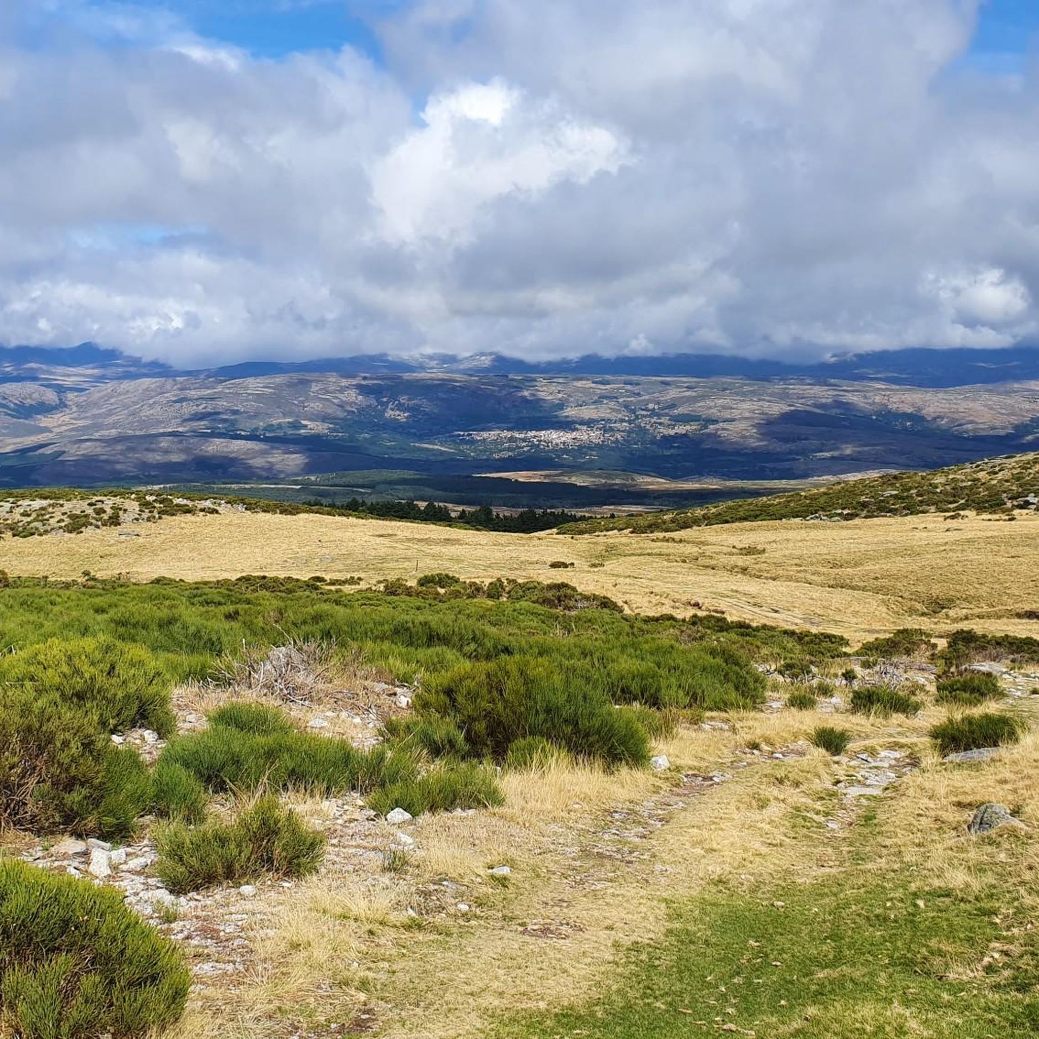
The route continues along the path that runs along the mountain range. The path is marked with stone markers from the end of the firebreak, it goes up to the right of the first block of the Risco del Bierzo and then to the left of the main summit to the extensive Bierzo hill. The geodesic vertex of La Fría draws attention at the top of some isolated and solitary cliffs, you have to climb the “little stick” at least to take the photo and for the views, although the route of the ridge offers an extraordinary panoramic view at all times. El Torozo and La Mira get almost all the attention. The trail leaves the summit of La Fría (1,983 m) on the left and goes down the southeast slope to the Morillas de Cañamarejo hill. The rope is difficult to run, you need to have experience, strong ankles and a taste for these technical trails on the Gredos summits. The path looks for the best passes on the southeastern slope of the granite towers and reaches the summit of Risco de las Morillas (1,992 m), the highest peak of the ridge and the roof of the trail, although there is no milestone, cross, or vertex. or sculpture that distinguishes the summit. The track passes through the summit because it is the highest point in the mountain massif between the port of Arenal and the port of Pico, for summit collectors, but it can be avoided by taking a shortcut directly through the base of the cliff.
0
0

Great port where the neocyclist is persona non grata
1
0
Frequently Asked Questions
Which are the most notable mountain peaks and passes around San Esteban del Valle?
The region around San Esteban del Valle, nestled in the Sierra de Gredos, offers several prominent peaks and passes. Among them, Pico Torozo stands out with its imposing south face and panoramic views. Other significant spots include the iconic Serranillos Pass, known for its beauty and views of the Cinco Villas Valley, and Puerto de Mijares, which offers a high point with panoramic views and ample parking.
What kind of terrain can I expect when hiking the mountain peaks near San Esteban del Valle?
The mountain peaks around San Esteban del Valle are characterized by diverse mountainous terrain, primarily featuring granite formations. Areas like Los Galayos are renowned for their granite spires and needles, making them an 'alpine rock climbing paradise.' Peaks like El Torozo also present significant granite faces. Expect mountain trails, and in higher elevations during winter, snow may be present, sometimes requiring specialized equipment.
Are there challenging climbs for experienced mountaineers in the area?
Yes, for experienced mountaineers, the region offers significant challenges. Los Galayos is particularly famous as an alpine rock climbing destination with numerous routes on its granite spires, some exceeding 300 meters in verticality. The south face of Pico Torozo also provides more challenging climbing routes, such as the 'Callejón del Tejo'.
What are the best viewpoints to experience the Sierra de Gredos landscape?
Many peaks and passes offer spectacular views. From the summit of Pico Torozo, you can enjoy panoramic vistas of the Sierra del Cabezo, Sierra de Cabeza Aguda, the Tiétar Valley, and the iconic Circo de Gredos. Serranillos Pass and Puerto de Mijares also provide stunning scenery and wide-ranging views of the Cinco Villas Valley and the Gredos peaks. For one of the best views of the Circo de Gredos, consider ascending Morezón (2,393 m).
What is the highest peak in the broader Sierra de Gredos region?
The highest peak in the entire Central System and the Sierra de Gredos is Pico Almanzor, standing at 2,592 meters. While not immediately adjacent to San Esteban del Valle, it's a significant and rewarding alpine adventure often involving a trek to Laguna Grande and Refugio Elola.
What outdoor activities can I do near the mountain peaks around San Esteban del Valle?
Beyond peak bagging, the area offers a variety of outdoor activities. You can find numerous routes for hiking, running, and cycling. For instance, there are challenging running trails like the 'El Sombrerito – Torozo loop from Puerto del Pico' and cycling routes such as the 'Castillo de Cuéllar, San Esteban del Valle y Cruz del Rollo — circular desde Mombeltrán'. You can explore more options on the Hiking around San Esteban Del Valle, Running Trails around San Esteban Del Valle, and Cycling around San Esteban Del Valle guide pages.
Are there family-friendly options for enjoying the mountain scenery?
Yes, some areas are suitable for families. Puerto de Mijares is categorized as family-friendly, offering panoramic views and a large parking lot, making it accessible for a scenic stop without strenuous hiking. While many peaks involve challenging ascents, there are also easier routes and passes where families can enjoy the natural beauty.
What is the best time of year to visit the mountain peaks in this region?
The best time to visit depends on your activity. For climbing in areas like Los Galayos, the period from May to mid-fall is generally recommended. For hiking, spring and early fall offer pleasant temperatures and less chance of snow at higher elevations. During winter, higher areas can have snow and cold conditions, which might require winter equipment, as noted for Pico Torozo.
How accessible are the trailheads for these mountain peaks?
Access varies by peak. For Pico Torozo, a well-frequented route (PR-AV 37) offers a relatively easier climb from Puerto del Pico. For Los Galayos, access typically involves a strenuous 7 km hike from the Nogal del Barranco platform to the Victory Refuge. Puerto de Mijares has a large parking lot directly at its high point, making it easily accessible by car.
What are some of the more challenging summits to consider near San Esteban del Valle?
For those seeking a challenge, Pico Torozo is rated as challenging, especially in winter conditions. La Fría (1,983 m) and Cabezo de Gavilanes are also categorized as challenging summits, with routes that can be technical and require experience, strong ankles, and a taste for rugged trails.
What do visitors particularly enjoy about the mountain peaks around San Esteban del Valle?
Visitors consistently praise the spectacular panoramic views from the summits and passes. The dramatic granite formations of Los Galayos and the imposing south face of Pico Torozo are frequently highlighted for their natural beauty. The challenging yet rewarding climbs, the diverse hiking opportunities, and the overall rugged beauty of the Sierra de Gredos are also highly appreciated by the komoot community.
Most popular routes around San Esteban Del Valle
Most popular attractions around San Esteban Del Valle

Get inspired with the komoot mobile app


Explore more
See even more amazing summits around San Esteban Del Valle with these guides:
