The best running trails around Huétor De Santillán
4.3
(79)
3,462
runners
17
runs
Jogging routes around Huétor De Santillán offer a diverse experience within the Sierra de Huétor Natural Park, characterized by mountainous terrain and dense pine, oak, and maple forests. The region sits over a thousand meters above sea level, providing a refreshing environment with undulating landscapes. Limestone geology has shaped dramatic ravines and cliffs, while the Darro and Fardes rivers contribute to the lush environment. These features create varied running conditions, from relatively easy paths to more challenging ascents.
Best jogging…
Last updated: July 13, 2026
38
runners
Hard run. Very good fitness required. Sure-footedness, sturdy shoes and alpine experience required.
70
runners
Hard run. Very good fitness required. Sure-footedness, sturdy shoes and alpine experience required.

Sign up for free
67
runners
Moderate run. Good fitness required. Mostly paved surfaces. Suitable for all skill levels.
9
runners
Hard run. Good fitness required. Sure-footedness, sturdy shoes and alpine experience required.
11
runners
14.2km
01:47
360m
360m
Hard run. Very good fitness required. Mostly paved surfaces. Suitable for all skill levels.
Get access to more routes and recommendations from other explorers.
Sign up for free
Already have an account?
Our route recommendations are based on thousands of hikes, rides, and runs completed by other people on komoot.
Start today with a free account
Your next adventure awaits.
Login or Signup
Popular around Huétor De Santillán
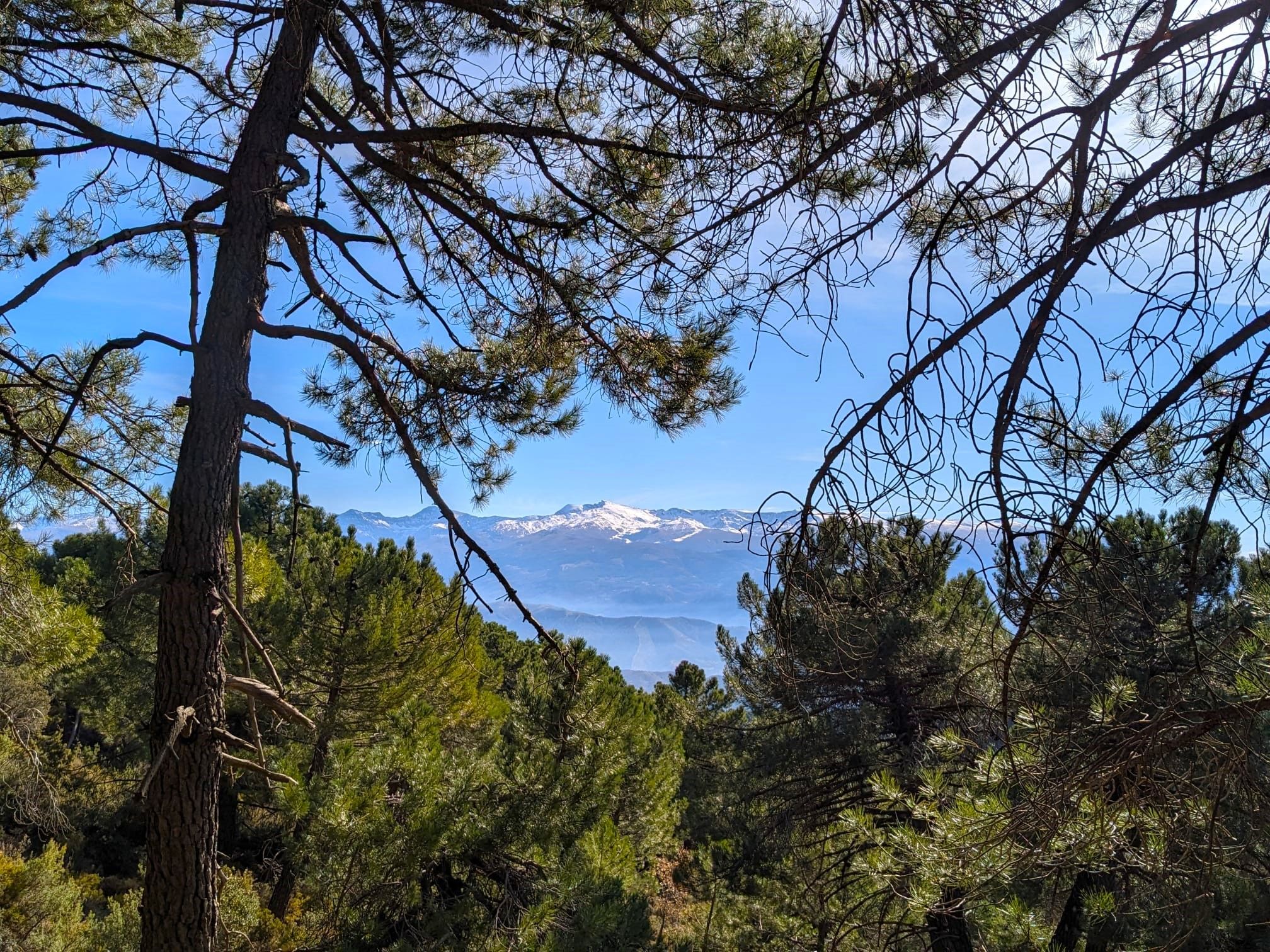
La Vega de Granada – walks a stone's throw from the city
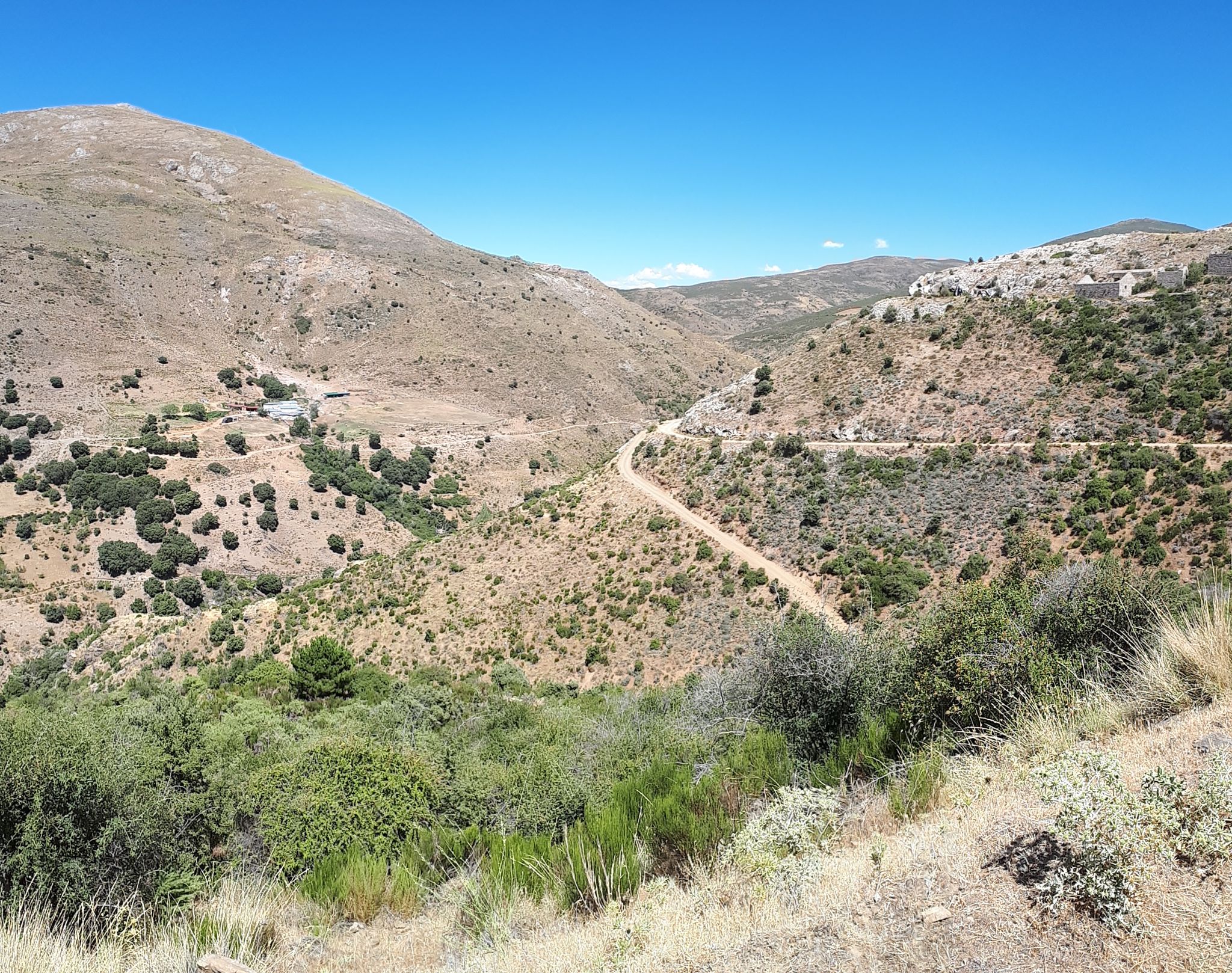
Nature and singletrack – bikepacking in Spain’s Sierra de Huétor
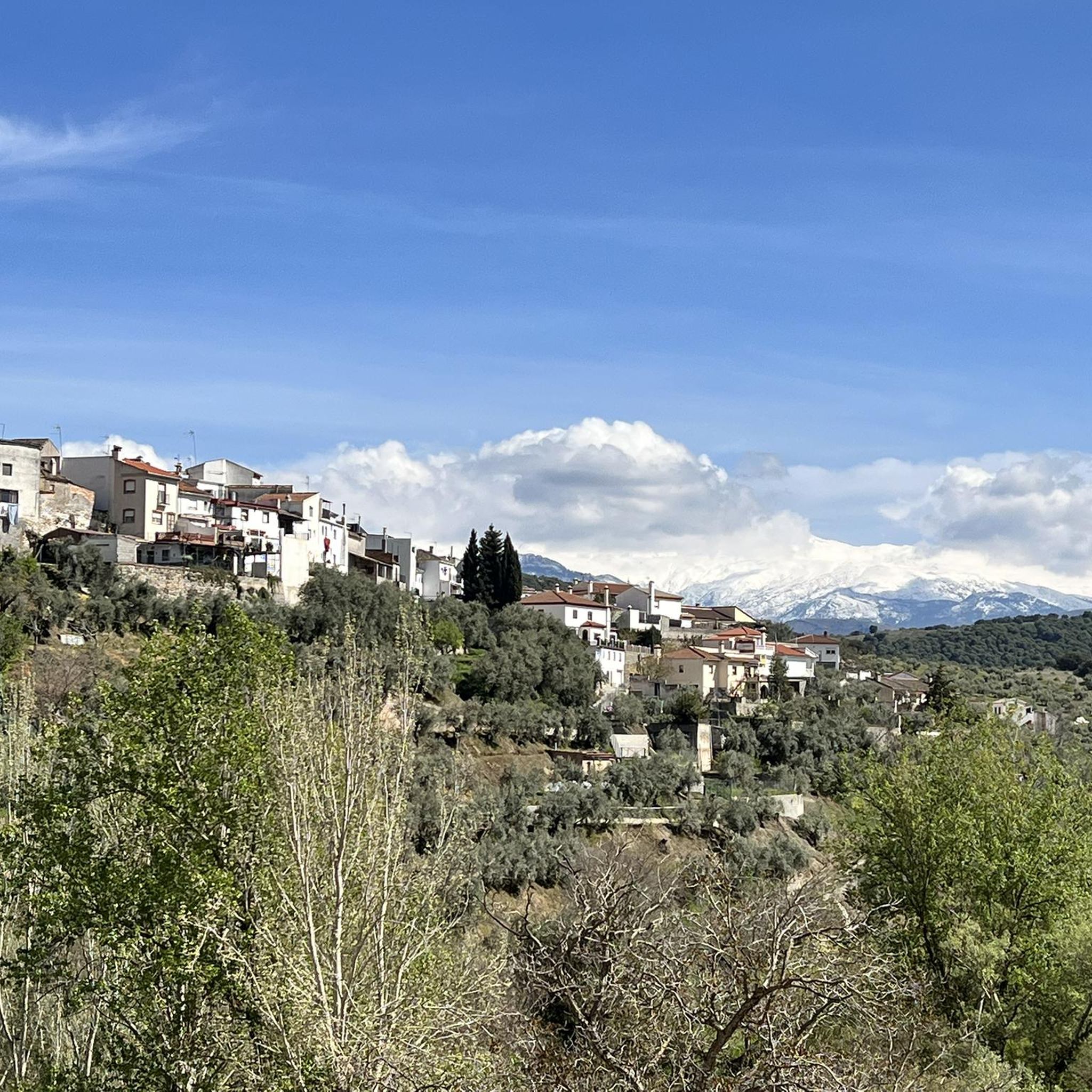
Hiking around Huétor De Santillán
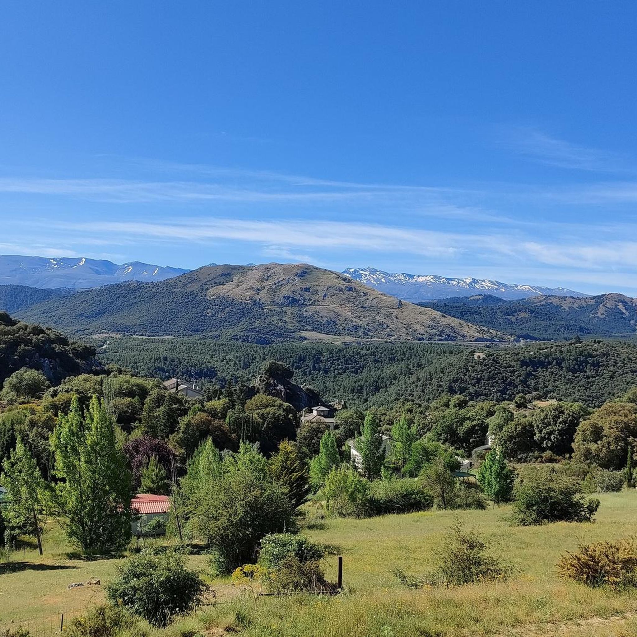
Road Cycling Routes around Huétor De Santillán

Gravel biking around Huétor De Santillán
MTB Trails around Huétor De Santillán
Cycling around Huétor De Santillán

Mountain Hikes around Huétor De Santillán


Tips from the Community

It's not a cemetery, it's a forest house.
0
0

In the Polvorite ravine, through which the Darro River runs, there is a narrow and winding path that runs through the canyon. It is not advisable to do it on days of heavy rain, as it could be dangerous.
1
0

This cave is one of the most outstanding in the Sierra de Huétor Natural Park, you can easily access its main caverns closest to the outside and contemplate the imposing columns that support it.
2
0
Casa Hogar de FAISEM “Los Peñoncillos”, open since 2021. The place was previously a forest house. It has twenty places for stays between one and three months. FAISEM is the Andalusian Public Foundation for the Social Integration of People with Mental Illness.
2
0
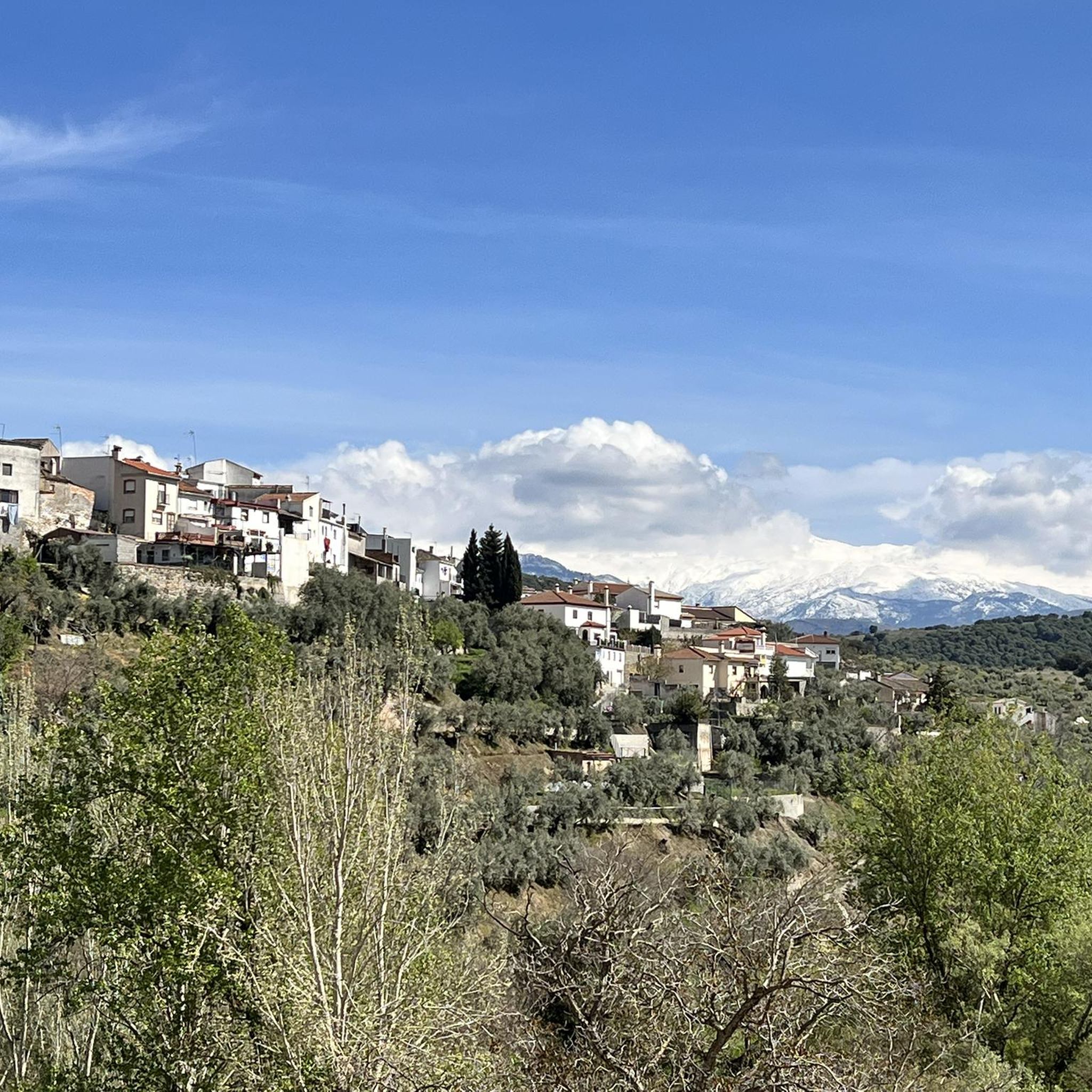
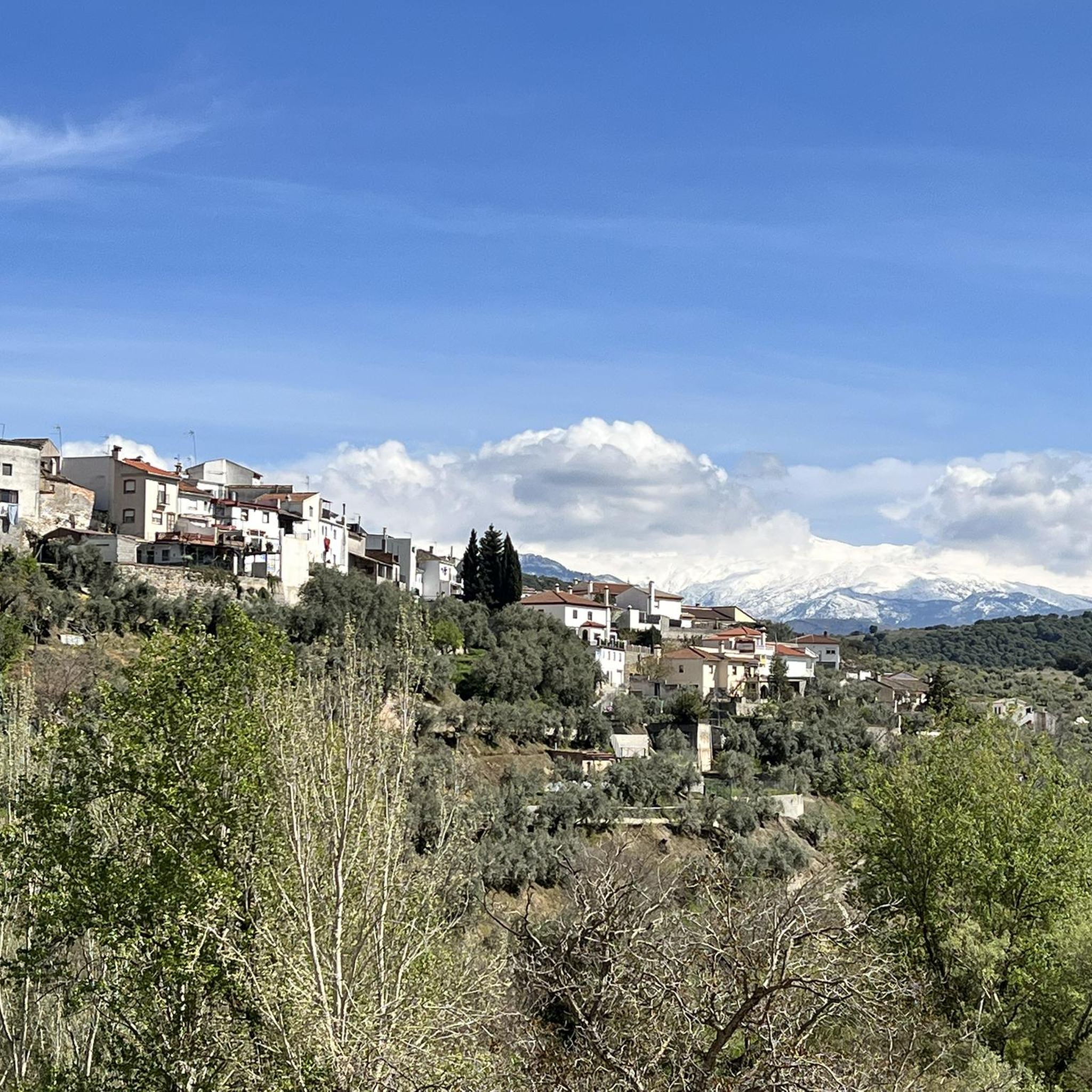
Impressive views of the Sierra de Huétor Natural Park at your feet and in the distance the highest peaks of Sierra Nevada, with snow for many months of the year.
1
1
Curious and recommendable cave with vertical formations that look like columns. This is a popular destination among hikers in the Sierra de Huétor Natural Park.
1
0

I call this rock on the road "the gorilla"
1
0
The Huétor mountain range is an unbeatable place for hiking. There are so many routes and so good that it is difficult to choose. I invite you to get to know her. You can see multiple native plants and what can we say about the fauna, from small rodents to large ruminants and large birds such as eagles and imposing vultures. At the Puerto Lobo visitor center you can pick up brochures with a lot of information as well as see the exhibitions they have. Enjoy and respect.
2
0
Frequently Asked Questions
How many running routes are available in Huétor De Santillán?
There are 18 dedicated running routes around Huétor De Santillán listed on komoot. These trails offer a diverse experience within the Sierra de Huétor Natural Park, catering to various fitness levels.
What kind of terrain can I expect on the jogging trails in Huétor De Santillán?
The jogging trails in Huétor De Santillán feature a mountainous landscape with dense pine, oak, and maple forests. You'll encounter undulating terrain, dramatic ravines, and cliffs formed by limestone geology. The area sits over a thousand meters above sea level, providing a refreshing environment with varied conditions from relatively easy paths to more challenging ascents.
Are there any easy running routes for beginners in Huétor De Santillán?
While many routes in Huétor De Santillán are rated as difficult, there are options suitable for those looking for a moderate challenge. For example, the Barranco de Polvorite – Cemetery of Peace loop from Casa Forestal Los Peñoncillos is a moderate 6.9-mile (11.0 km) trail through forested areas and ravines, offering a good balance for runners seeking a less strenuous experience than the most difficult trails.
What are some challenging running routes for experienced runners?
For experienced runners seeking a challenge, the region offers several difficult routes. The Parque Natural Sierra de Huétor – trail running circular to Mirador de la Mina via Cueva de los Mármoles and Cañada del Sereno is a 9.5-mile (15.2 km) trail with significant elevation changes through pine forests. Another demanding option is the View of Huétor de Santillán – Barranco de Polvorite loop from Huétor de Santillán, a 9.2-mile (14.8 km) path offering panoramic views.
Are there circular jogging paths in the area?
Yes, many of the running routes in Huétor De Santillán are circular, allowing you to start and finish at the same point. Examples include the Parque Natural Sierra de Huétor – trail running circular to Mirador de la Mina via Cueva de los Mármoles and Cañada del Sereno and the View of Huétor de Santillán – Barranco de Polvorite loop from Huétor de Santillán, both offering scenic loops.
What kind of scenic views can I expect while running in Huétor De Santillán?
Runners in Huétor De Santillán can enjoy magnificent views of the Sierra Nevada National Park, often snow-capped for many months of the year. The trails also offer vistas of dense pine forests, dramatic ravines, and the surrounding mountainous landscape. Routes like the View of Huétor de Santillán – Barranco de Polvorite loop from Huétor de Santillán are specifically known for their panoramic outlooks.
Are there any interesting landmarks or natural features to see along the running routes?
Yes, the Sierra de Huétor Natural Park is rich in natural features. You can explore dramatic geological formations like ravines and cliffs, and discover points of interest such as the sources of the Darro and Fardes rivers. The area also features highlights like Barranco de Polvorite, a notable canyon. Some trails, like the Fuente del Fraile-Sanatorio, even pass by historical ruins.
Is public transport available to reach the running trails in Huétor De Santillán?
Huétor De Santillán and the Sierra de Huétor Natural Park are generally accessible. While specific public transport routes directly to trailheads might vary, the park is easily accessible from Granada via the A92 motorway, and local bus services may connect to the town. It's advisable to check local transport schedules for the most up-to-date information.
Where can I find parking near the running trailheads?
The Sierra de Huétor Natural Park is well-equipped for visitors. There are often designated parking areas near popular trailheads and visitor centers, such as the one at Puerto de Lobo. Huétor De Santillán itself also provides access points to various routes, where you can typically find parking facilities.
What do other runners enjoy most about jogging in Huétor De Santillán?
The running routes in Huétor De Santillán are highly rated by the komoot community, with an average score of 4.3 stars from over 60 reviews. Runners frequently praise the diverse mountainous terrain, the refreshing environment of the pine and oak forests, and the stunning views of the Sierra Nevada. The variety of trails, from moderate to difficult, is also a key highlight.
Are there any family-friendly running trails in Huétor De Santillán?
While many routes in the area are rated as difficult, the Sierra de Huétor Natural Park does offer some easier, shorter walks that can be adapted for family jogs. For instance, the Sendero Las Mimbres is an easy, circular 4 km walk, and the Sendero del Cerro del Maullo is an easy 3 km circular walk with superb views, both suitable for a more relaxed pace with family.
Can I bring my dog on the running routes in Huétor De Santillán?
The Sierra de Huétor Natural Park is generally welcoming to dogs, making it a great place for dog-friendly running. However, it's always recommended to keep your dog on a leash, especially in areas with wildlife or livestock, and to follow any specific park regulations regarding pets to ensure a safe and enjoyable experience for everyone.
What is the best season for running in Huétor De Santillán?
Given its elevation over a thousand meters above sea level, Huétor De Santillán offers a refreshing mountain environment. Spring and autumn are ideal for running, with pleasant temperatures and vibrant natural scenery. Summer mornings and evenings can also be enjoyable, while winter running is possible, but conditions may vary, especially at higher altitudes where snow can be present, offering a unique challenge.
Most popular routes around Huétor De Santillán
Most popular attractions around Huétor De Santillán

Get inspired with the komoot mobile app


Explore more
Browse the best Running Trails & Routes in other regions.
