The best road cycling routes around Torrejoncillo
5.0
(1)
248
riders
14
rides
Road cycling around Torrejoncillo offers diverse landscapes within the Alagón Valley, characterized by fertile plains, agricultural fields, and riverside forests. The region provides a scenic backdrop for road cyclists, with routes extending towards the more rugged terrain of the Sierra de Gata. Cyclists can explore both gentle valley paths and more challenging ascents in the surrounding areas.
Best road cycling routes around Torrejoncillo
- The most popular road cycling route is Cañaveral from Torrejoncillo – circular by the Castillo de Portezuelo…
Last updated: July 5, 2026
15
riders
Moderate road ride. Good fitness required. Mostly well-paved surfaces and easy to ride.
18
riders
Moderate road ride. Good fitness required. Mostly well-paved surfaces and easy to ride.

Sign up for free
14
riders
78.6km
03:43
910m
910m
Hard road ride. Very good fitness required. Mostly well-paved surfaces and easy to ride.
5.0
(1)
10
riders
Moderate road ride. Good fitness required. Some segments of this route may be unpaved and difficult to ride.
9
riders
51.7km
02:22
470m
470m
Moderate road ride. Good fitness required. Mostly well-paved surfaces and easy to ride.
Get access to more routes and recommendations from other explorers.
Sign up for free
Already have an account?
Our route recommendations are based on thousands of hikes, rides, and runs completed by other people on komoot.
Start today with a free account
Your next adventure awaits.
Login or Signup
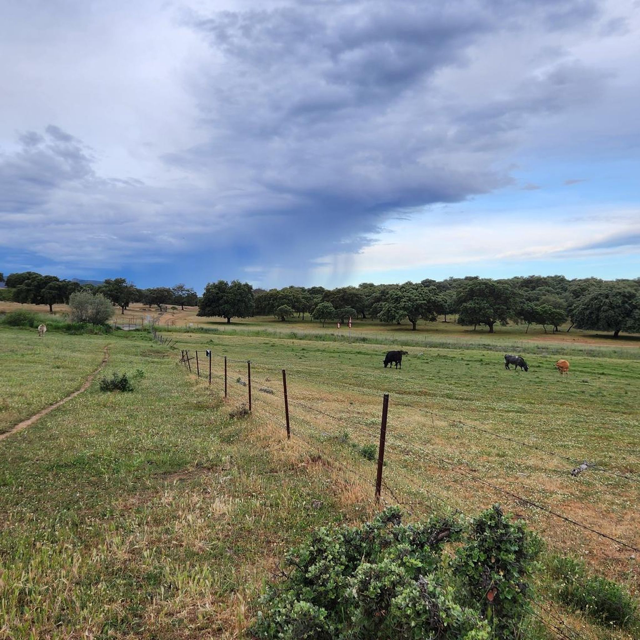
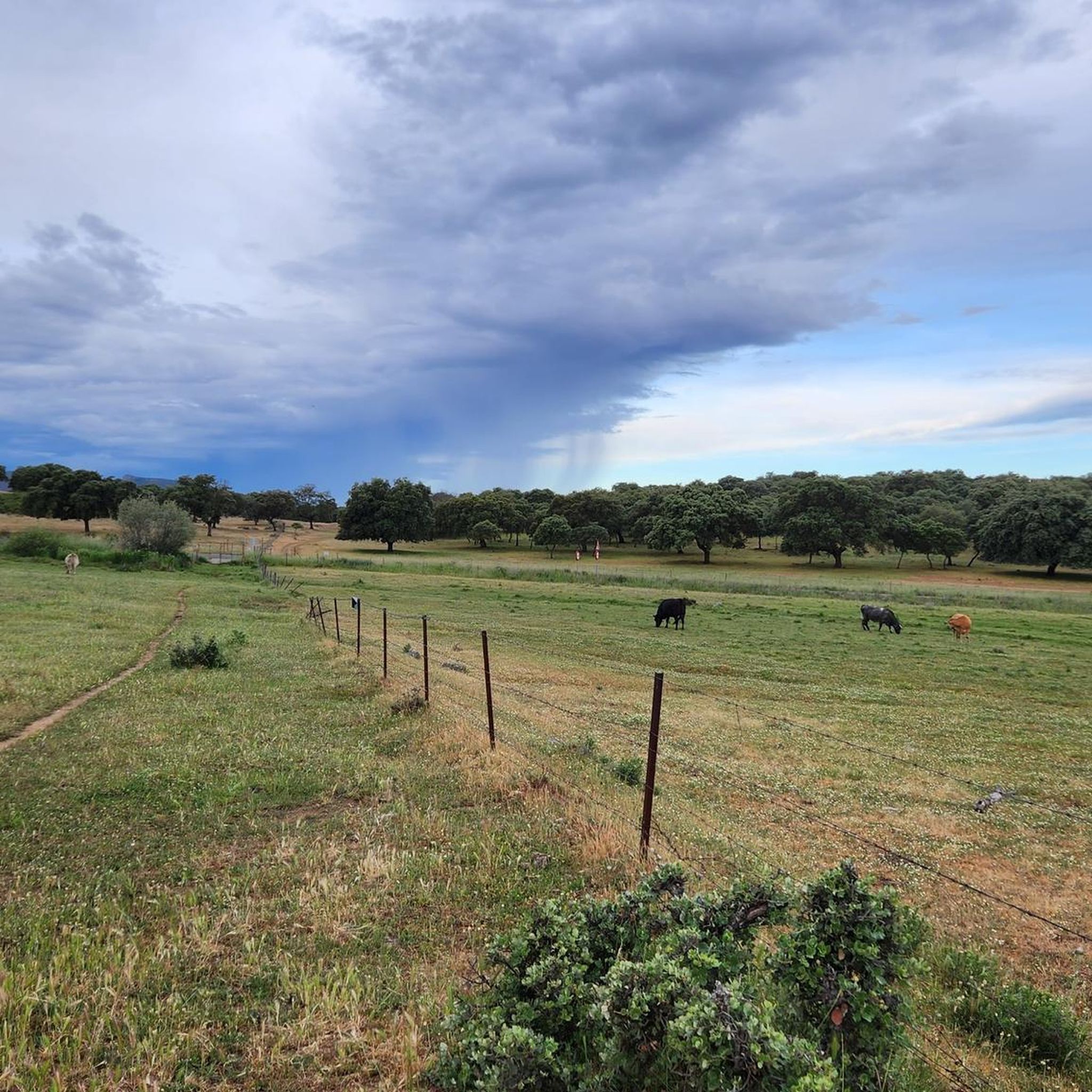
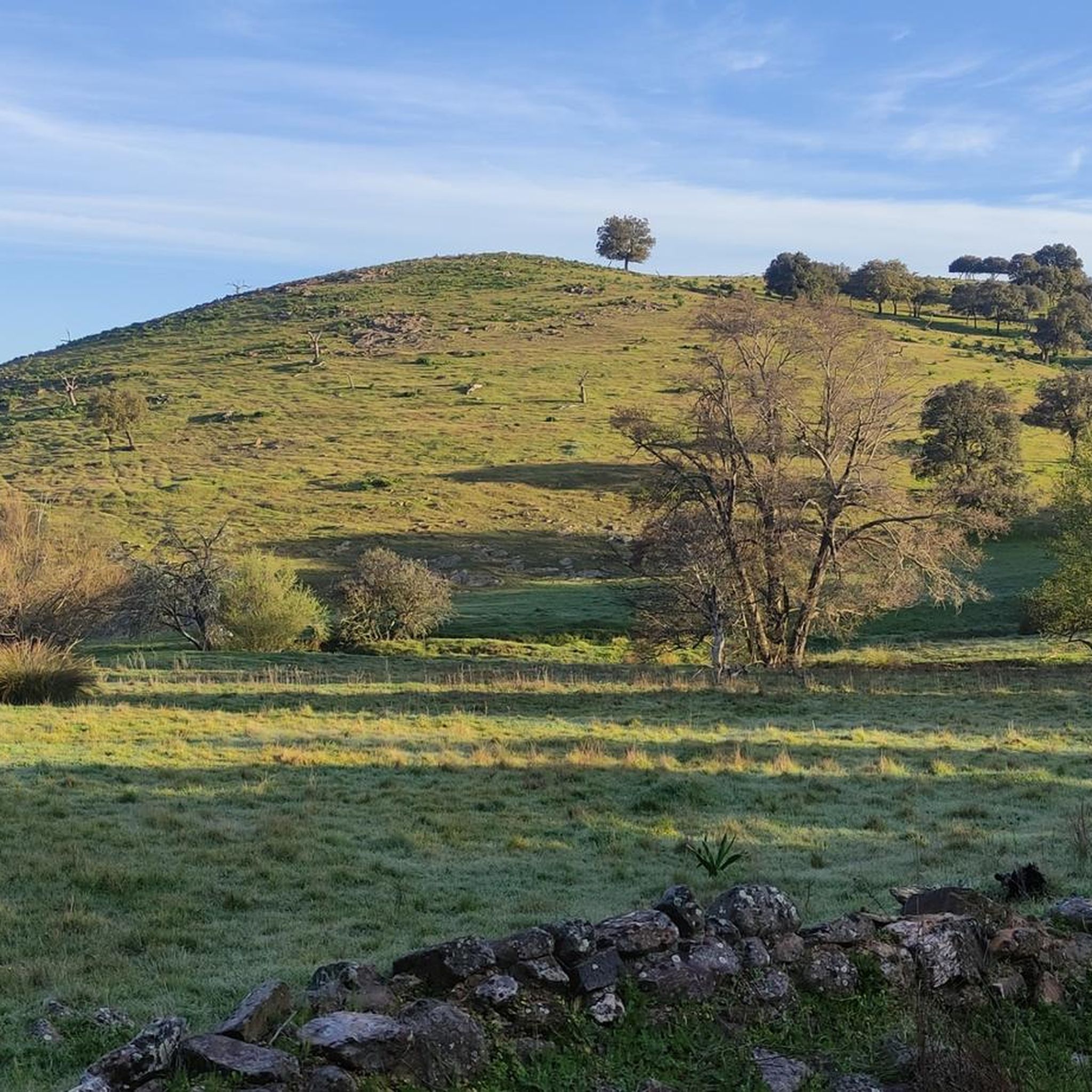
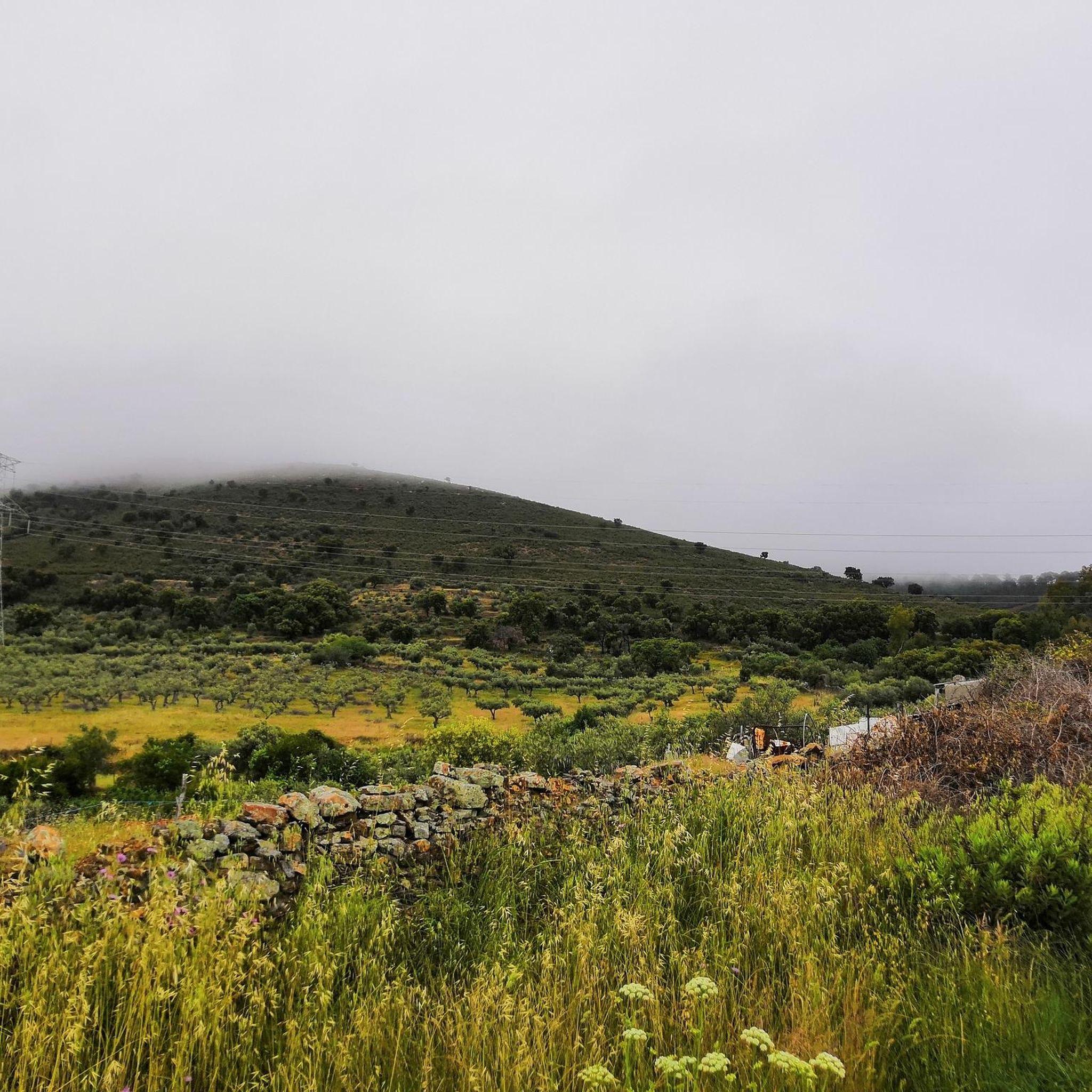
Tips from the Community

This section of the western Royal Road of Soria runs along the top of hills that reveal the beautiful surrounding landscape. The view is lost among mountain ridges and groves.
0
0

For decades it lay forgotten, becoming a remote ruin visited by few. Recently, however, Mirabel Castle (or what remains of it) has become one of the attractions in this part of the Monfragüe Biosphere Reserve. Located on a hilltop in the mountains, the castle's imposing defensive structure offers magnificent views of the Tagus River stretching out below.
11
0

Cañaveral is a Spanish town and municipality, located in the province of Cáceres, in the autonomous community of Extremadura. Administratively, it is part of the judicial district of Cáceres and the community of Riberos del Tajo. It is located in the center of the province, north of the Tagus River, near a chain of mountain ranges that extend from the Monfragüe National Park.
2
0

One of the gateways to the Monfragüe National Park, Serradilla is a small town on the route between Plasencia and the historic city of Cáceres.
1
0
Crossing of Puerto de Castaño and crossing of the modern road between Cáceres and Plasencia with the old Roman road and the Vía de la Plata pilgrim path.
2
0
Built on an imposing rock outcrop that dominates the trade route, the defensive Mirabel Castle is located in an incredible location. You will be able to see the sanitary cattle from the road while you walk the roads that surround the Monfragüe Biosphere Reserve.
3
0

The GR-113 runs through this pretty little town to the north of the Tagus River. The medieval temple of Santa Marina is an interesting place to visit during your stay.
1
0

Serradilla is a small town, a good starting point for various trails in the surrounding area, such as the Camino Natural de Tajo and the brown route in the Monfragüe National Park. It has some services such as bars, cafeterias, ATMs.
1
0
Frequently Asked Questions
What kind of road cycling routes can I find around Torrejoncillo?
Torrejoncillo offers a variety of road cycling routes, primarily within the scenic Alagón Valley. You'll find routes characterized by fertile plains, agricultural fields, and riverside forests. The area also provides access to the foothills of the Sierra de Gata, offering more challenging terrain. There are 12 moderate and 2 difficult routes available, catering to different experience levels.
Are there any easy road cycling routes suitable for beginners or families?
The road cycling routes around Torrejoncillo are generally categorized as moderate to difficult. There are no routes specifically listed as 'easy' in this guide. The terrain often includes elevation gains, making it more suitable for riders with some experience. For family-friendly options, you might consider exploring flatter sections of the Alagón Valley, though dedicated easy routes are not prominent here.
What are some notable landmarks or historical sites I can see while cycling?
Several routes pass by significant landmarks. For instance, the route Cañaveral from Torrejoncillo takes you past the historic Castillo de Portezuelo and the Puente de Alconetar. Nearby Coria, just 12 km away, also offers historical sites like its castle, cathedral, and the intriguing Medieval Bridge.
Are there many circular road cycling routes in the area?
Yes, many of the road cycling routes around Torrejoncillo are designed as circular loops, allowing you to start and end in the same location. Examples include the Cañaveral from Torrejoncillo – circular by the Castillo de Portezuelo and the Puente de Alconetar route, and the Plaza Mayor of Torrejoncillo – La Encamisá of Torrejoncillo loop from Valdencín.
What is the typical elevation gain on road cycling routes near Torrejoncillo?
The elevation gain varies depending on the route's difficulty and length. Moderate routes, such as Cañaveral from Torrejoncillo, can have around 510 meters of elevation gain. More challenging routes, like Serradilla – La Encamisá of Torrejoncillo loop from Torrejoncillo, feature significant climbs with over 900 meters of elevation, especially as you approach the Sierra de Gata foothills.
What do other road cyclists say about the routes in Torrejoncillo?
The road cycling routes around Torrejoncillo are highly rated by the komoot community, with an average score of 5.0 stars. Cyclists often praise the diverse landscapes, from the fertile Alagón Valley to the more rugged terrain, and the opportunity to explore historical landmarks along the way.
Are there any long-distance road cycling options available?
Yes, there are routes that offer longer distances for experienced riders. For example, the Plaza Mayor of Torrejoncillo – La Encamisá of Torrejoncillo loop from Valdencín covers approximately 83.9 km, and the Serradilla – La Encamisá of Torrejoncillo loop from Torrejoncillo is about 78.6 km, providing a demanding experience with significant climbs.
What natural features can I expect to see while road cycling in this region?
The primary natural feature is the Alagón Valley, characterized by its fertile plains, agricultural fields, and beautiful riverside forests along the Alagón River. As you venture further, you'll encounter the foothills of the Sierra de Gata, offering more rugged and diverse landscapes. The region's natural beauty provides a tranquil and scenic backdrop for your rides.
Is there public transport available to reach the cycling routes?
While specific public transport options directly to every trailhead are not detailed, Torrejoncillo is a municipality within Cáceres. It's advisable to check local bus schedules or regional transport services for connections to Torrejoncillo itself. Many routes start directly from the town or nearby villages, making them accessible once you arrive.
Where can I find parking for road cycling trails in Torrejoncillo?
Most road cycling routes in Torrejoncillo either start directly from the town center or from nearby villages. You can typically find public parking areas within these towns. It's recommended to check local signage for specific parking regulations and availability, especially in smaller villages.
What is the best time of year for road biking around Torrejoncillo?
The region of Extremadura, where Torrejoncillo is located, generally experiences hot summers. Spring (April-May) and Autumn (September-October) are often considered the most pleasant seasons for road cycling, offering milder temperatures and comfortable conditions for longer rides. Winter can also be suitable, though days are shorter and temperatures cooler.
Most popular attractions around Torrejoncillo

Get inspired with the komoot mobile app


Explore more
Browse the best Road cycling routes in other regions.
