The best running trails around Santa Elena
110
runners
12
runs
Jogging routes around Santa Elena traverse a landscape characterized by varied terrain, from dense woodlands to open areas. The region offers a mix of elevations, providing options for different fitness levels. Runners can expect paths that wind through natural settings, offering a connection to the local environment. The area's physical features include rolling hills and established trails, making it suitable for outdoor running activities.
Best jogging routes around Santa Elena
- The most popular jogging route is Empedraillo Trail, a…
Last updated: June 23, 2026
8.28km
01:04
190m
190m
Moderate run. Good fitness required. Mostly accessible paths. Some sure footedness required.
32
runners
Hard run. Very good fitness required. Sure-footedness, sturdy shoes and alpine experience required.

Sign up for free
11
runners
3.87km
00:25
50m
50m
Easy run. Great for any fitness level. Mostly paved surfaces. Suitable for all skill levels.
9
runners
12.9km
01:34
210m
210m
Moderate run. Good fitness required. Mostly paved surfaces. Suitable for all skill levels.
14
runners
23.2km
03:06
970m
970m
Hard run. Very good fitness required. Sure-footedness, sturdy shoes and alpine experience required.
Get access to more routes and recommendations from other explorers.
Sign up for free
Already have an account?
Our route recommendations are based on thousands of hikes, rides, and runs completed by other people on komoot.
Start today with a free account
Your next adventure awaits.
Login or Signup

Other adventures around Santa Elena

Tips from the Community

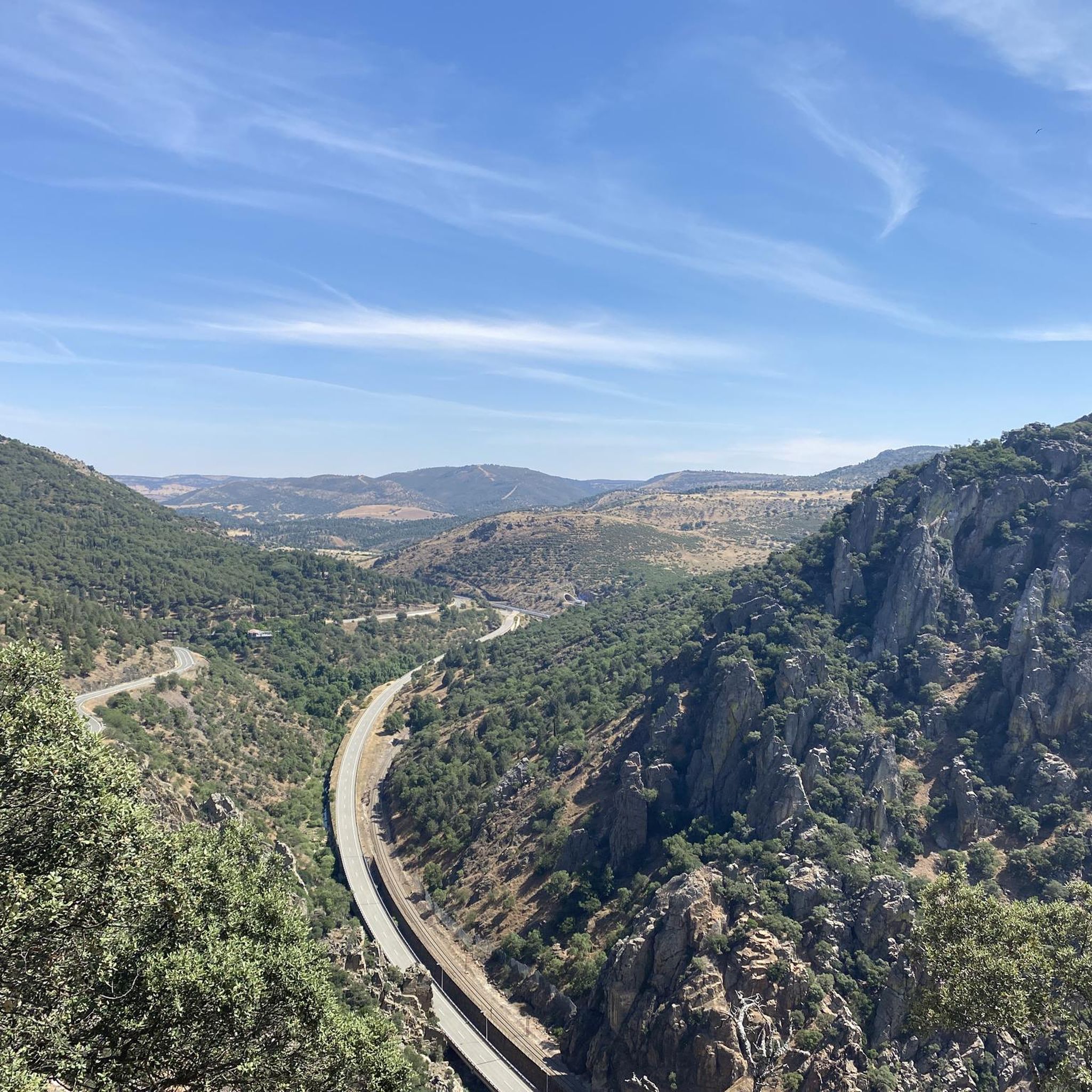
El Mirador del Balcón de Despeñaperros is the exact opposite of Collado de la Aviación. Panoramic viewpoint over the Despeñaperros gorge Located next to Santa Elena, very accessible With wide (180º) views of the entire park: Puerto del Rey, Castro Ferral, the Despeñaperros pass…
2
0
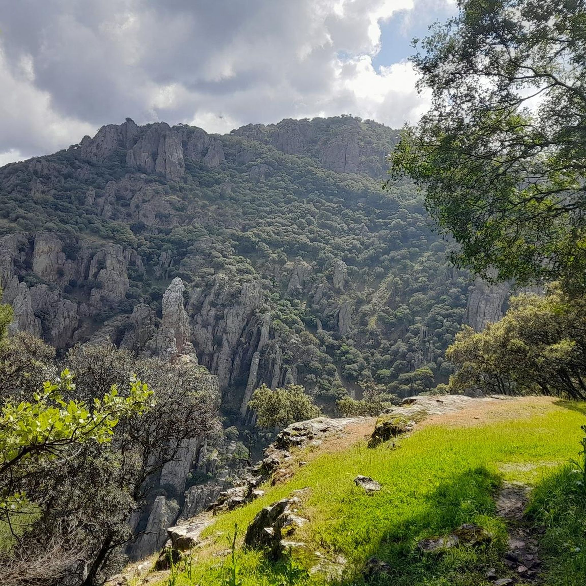
El Mirador del Collado de la Aviación (Santa Elena, Jaén) is a very cool place for bike routes or hiking. It is located within the Despeñaperros Natural Park (Sierra Morena). It offers views of the Los Órganos Natural Monument (quartzite formations of the "organ pipes" type).
2
0

You can skip this section if you don't have a MTB, go straight along the Trans-Andalusian route
1
0

It is a beautiful place in winter with a waterfall and a place to drink water in summer since there is a spring in the place.
0
0

Lookout that lets us see the entire Río de Despeñaperros and that lets us see how it has made a huge hole between these mountains to the north of Sierra Morena.
4
1

This viewpoint is located about 600 meters outside the municipality of Santa Elena. It is worth looking out and getting a small sample of the beautiful Despeñaperros natural park. This gorge traced by the river of the same name is part of Sierra Morena and only has one population center: Santa Elena.
4
0
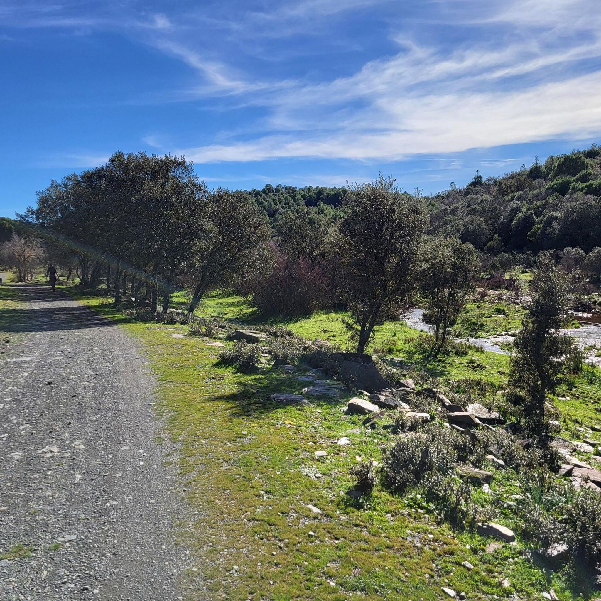
The recreational area of La Aliseda, crossed by the La Campana stream, is a beautiful natural space to relax and have a picnic. There are also hiking trails that take you to explore the surroundings. Here, in the month of May, the pilgrimage of Santa Elena takes place.
3
0

It is a spring that, in the rainy season, emerges creating a spectacular waterfall. It has some adjacent buildings painted white that make it a unique place in this natural park.
0
0
Frequently Asked Questions
What kind of terrain can I expect on running routes around Santa Elena?
The running routes around Santa Elena feature varied terrain, from dense woodlands to more open areas. You'll encounter rolling hills and established trails, offering a mix of surfaces and elevations suitable for different fitness levels. The region is characterized by its natural landscapes, providing an immersive outdoor experience.
Are there running routes suitable for beginners in Santa Elena?
Yes, Santa Elena offers routes suitable for beginners. For an easier option, consider the Running loop from Santa Elena, which is 2.4 miles (3.9 km) long and typically takes about 25 minutes to complete. This route leads through local surroundings with minimal elevation gain.
What are some of the more challenging running trails in the Santa Elena area?
For experienced runners seeking a challenge, Santa Elena has several difficult routes. The Presa de Valdeazores – Cerro de los Órganos loop from Río Despeñaperros is a demanding 9.8 miles (15.7 km) path with significant elevation gain. Another difficult option is the Mirador de los Órganos loop from Río Despeñaperros, which spans 23.2 km and features substantial climbs.
Can I find circular running routes in Santa Elena?
Absolutely. Many of the running routes in Santa Elena are designed as loops, allowing you to start and finish at the same point. Examples include the Running loop from Santa Elena, the Presa de Valdeazores – Cerro de los Órganos loop from Río Despeñaperros, and the Entrance to La Aliseda – Llano de las Américas loop from Santa Elena.
Are there any viewpoints or natural attractions along the running trails?
Yes, the Santa Elena area is rich in natural beauty and offers several viewpoints and attractions. You might encounter stunning vistas like the Balcón de Despeñaperros Viewpoint, Desfiladero Viewpoint, and Mirador de los Órganos. There are also beautiful waterfalls such as Charco del Negrillo Waterfall and Salto del Fraile Waterfall and Spring.
What kind of natural monuments can I discover while running in Santa Elena?
Beyond viewpoints and waterfalls, the region around Santa Elena features interesting natural monuments. You can explore sites like the historic Cimbarra Mill or the Molino del Batán, which add a touch of history to the natural landscapes.
How many running routes are available in Santa Elena?
There are over 10 dedicated running routes around Santa Elena listed in this guide. These routes vary in difficulty and length, ensuring options for different preferences and fitness levels.
What do other runners say about the trails in Santa Elena?
The running trails in Santa Elena are popular among the komoot community, with over 100 runners having explored the varied terrain. Users often praise the established trails, diverse elevations, and the opportunity to connect with the natural environment.
Are there any moderate running routes for those looking for a balanced challenge?
Yes, if you're looking for a moderate challenge, the Empedraillo Trail is an excellent choice. This 5.1-mile (8.3 km) route typically takes about 1 hour and 4 minutes to complete and features a good mix of surfaces and elevation changes, offering a balanced workout.
Is public transport available to access the running trails in Santa Elena?
While specific public transport details for each trailhead are not provided, Santa Elena is a town, and local transport options may exist. It's advisable to check local bus schedules or taxi services for access to trail starting points, especially for routes further from the town center.
Are there options for longer distance running in Santa Elena?
Yes, for those who enjoy longer runs, Santa Elena offers several extended routes. The Mirador de los Órganos loop from Río Despeñaperros is a substantial 23.2 km (14.4 miles) trail, providing a significant distance challenge with considerable elevation gain.
Most popular attractions around Santa Elena

Get inspired with the komoot mobile app


Explore more
Browse the best Running Trails & Routes in other regions.
