The best walks and hikes around Talarrubias
4.4
(17)
98
hikers
22
hikes
Hiking around Talarrubias, located in Extremadura, Spain, offers diverse landscapes characterized by significant reservoirs and varied terrain. The region features expansive water bodies like the La Serena, Orellana, and Sierra Pela reservoirs, alongside mountain ranges such as Sierra del Chamorro and Sierra del Castillo. This environment provides a range of hiking experiences, from gentle paths to more challenging ascents.
Best hiking trails around Talarrubias
- The most popular hiking route is Cerro Masatrigo Botanical Trail (SL-BA 198), a 2.9 miles…
Last updated: May 15, 2026
14
hikers
4.59km
01:26
130m
130m
Hard hike. Great for any fitness level. Sure-footedness, sturdy shoes and alpine experience required.
4.5
(2)
8
hikers
Moderate hike. Good fitness required. Easily-accessible paths. Suitable for all skill levels.

Sign up for free
5.0
(1)
1
hikers
Moderate hike. Good fitness required. Easily-accessible paths. Suitable for all skill levels.
1
hikers
Moderate hike. Good fitness required. Mostly accessible paths. Sure-footedness required.
1
hikers
Moderate hike. Good fitness required. Easily-accessible paths. Suitable for all skill levels.
Get access to more routes and recommendations from other explorers.
Sign up for free
Already have an account?
Our route recommendations are based on thousands of hikes, rides, and runs completed by other people on komoot.
Start today with a free account
Your next adventure awaits.
Login or Signup
Tips from the Community

This Almohad-era castle, now devoid of walls and decoration, is built on an octagonal plan atop a high crag south of the town, on a summit difficult to access. It lacks a keep, towers, and external defenses, perhaps due to its reconstruction during the Christian era, which only preserved the wall, omitting any other defensive elements beyond the rugged terrain on which it stands.
2
0
Located south of Castilblanco, this town is surrounded by ferruginous springs. Here we find an Almohad-era castle, now devoid of walls and decoration, built on an octagonal plan atop a high crag south of the town, on a summit that is difficult to access.
2
0
The Herrera del Duque Castle, located in the province of Badajoz (Extremadura), is an impressive 15th-century fortress that dominates the landscape of the La Siberia region from the top of the Sierra Chamorro. It is said that wailing sounds can be heard at night from the "Tower of Sighs," and there are legends about a hidden treasure protected by a curse.
6
0
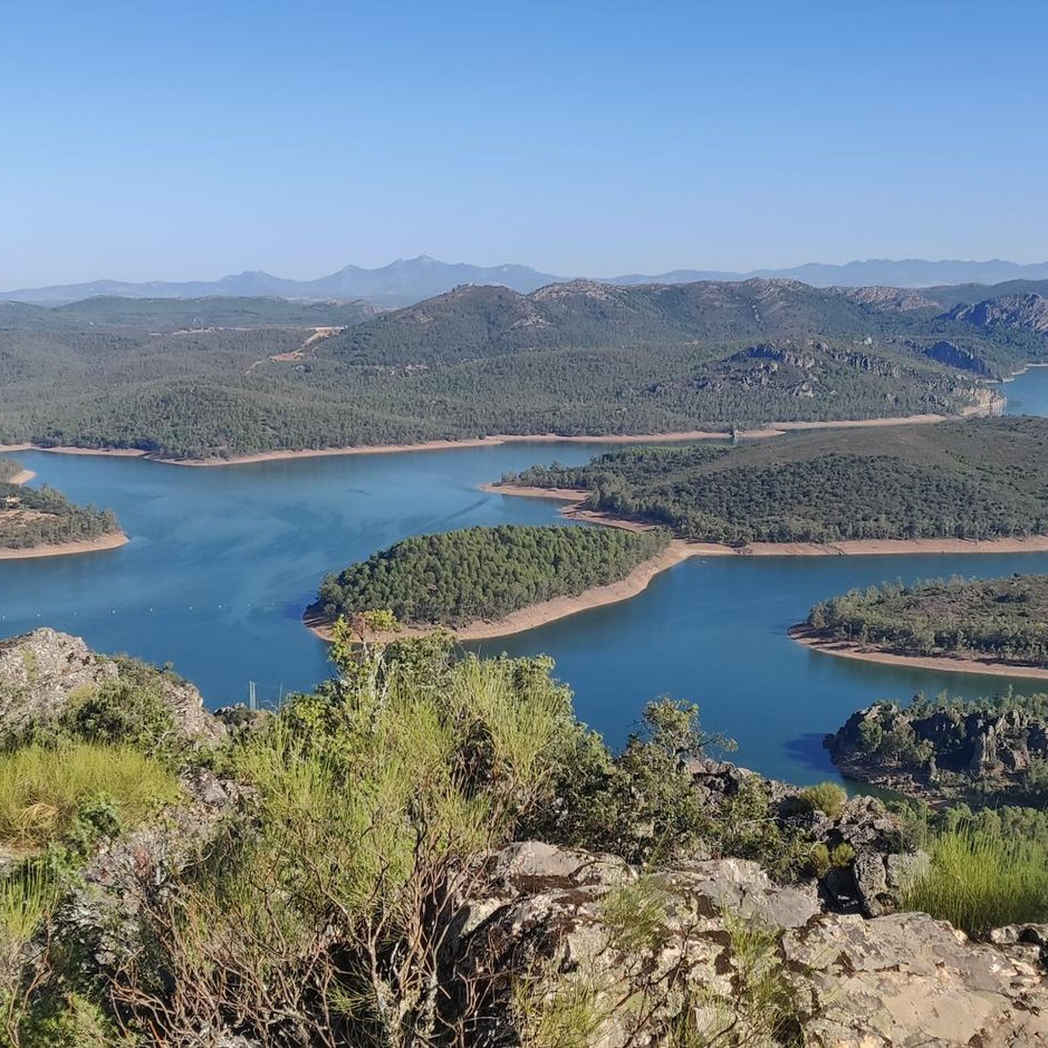
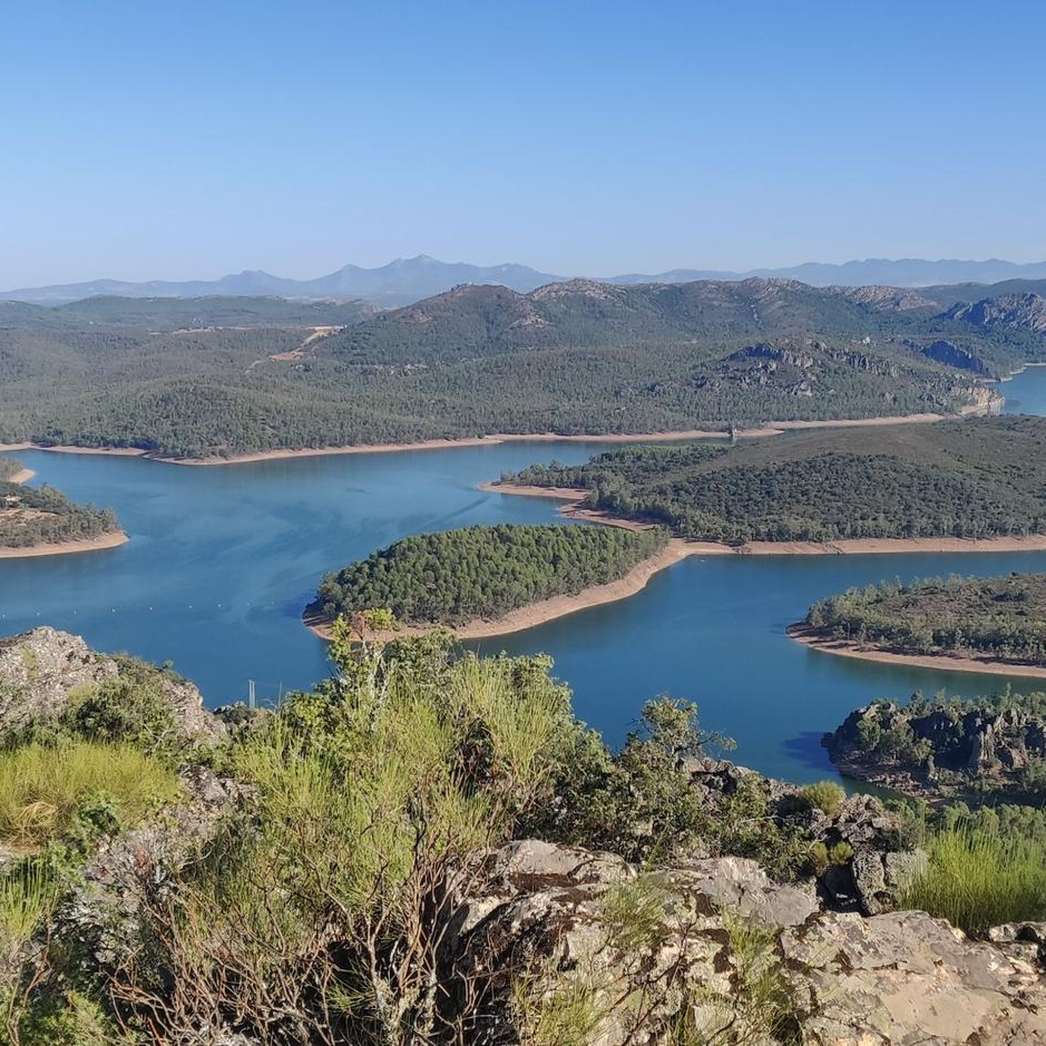
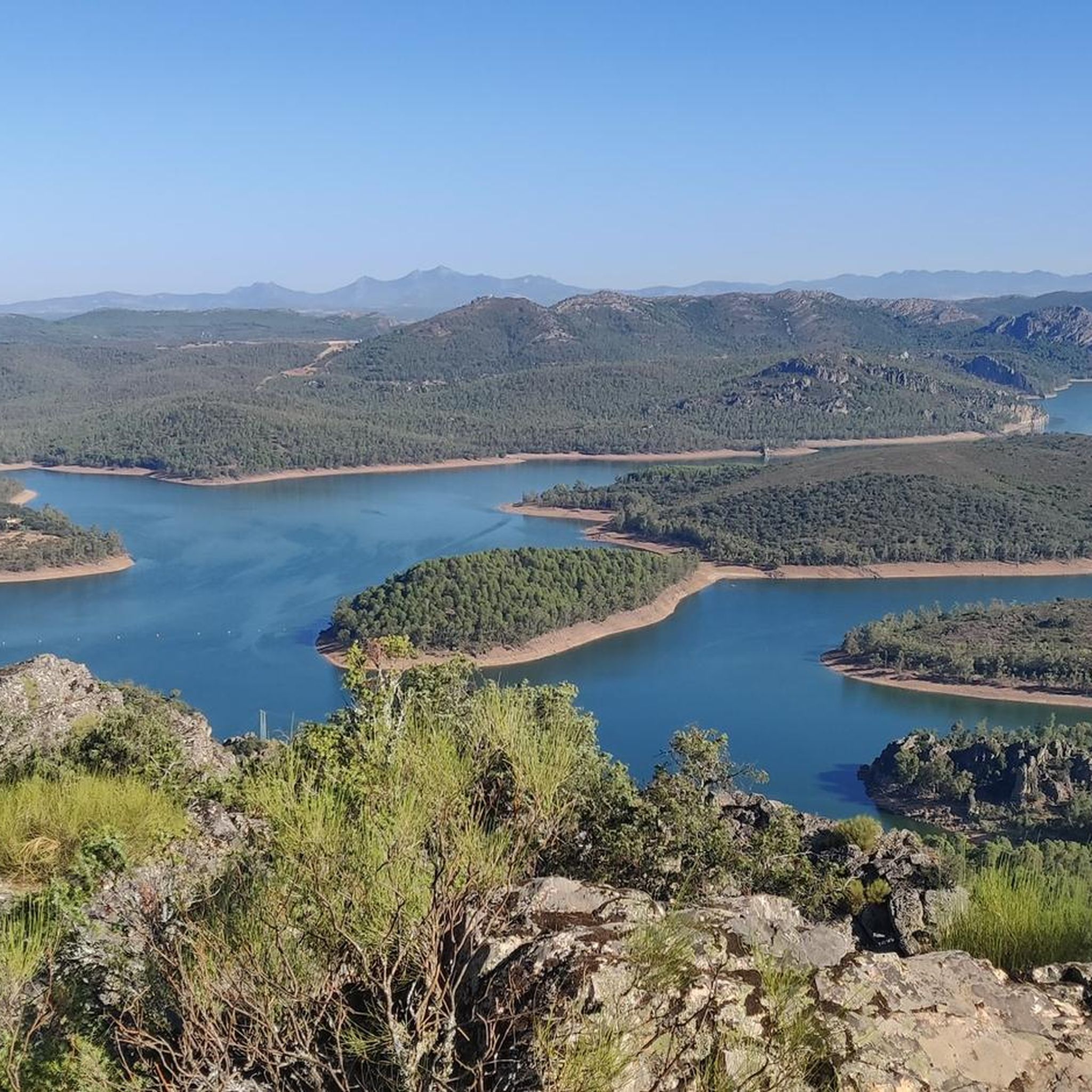
Cerro Masatrigo is a hill located in the municipality of Esparragosa de Lares. This hill is known for its almost perfect conical shape, which has earned it the nickname "the magic mountain" It rises 501 meters above sea level and 161 meters above the surrounding terrain. After the construction of the La Serena Dam, Cerro Masatrigo became a peninsula surrounded by the waters of the reservoir.
7
0
The castle of Puebla de Alcocer is an imposing fortress built during the 12th and 13th centuries, and remodeled in the 15th century by Don Gutierre de Sotomayor, master of the Order of Alcántara. It is located in an elongated rocky mass, at the highest point of Puebla de Alcocer, from where the movements of the adversaries were monitored for kilometers around. Today, the regions of La Serena and La Siberia can be seen, and the fortification can be seen from various points.
6
0

Beautiful dolmen that is very well preserved as you can see the whole structure in a space that, depending on the time of year, is surrounded by water.
2
0

There is an intense and pronounced climb up to this medieval castle, but from there you can visit the fortress and enjoy the views of the Extremaduran esplanades.
0
1
Cerro Masatrigo has impressive views from Galizuela, where there is also a celestial viewpoint that shines at night.
12
2
Frequently Asked Questions
How many hiking trails are available around Talarrubias?
There are over 20 hiking routes around Talarrubias, offering a variety of experiences. These trails are well-regarded by the komoot community, with an average rating of 4.4 stars from more than 15 reviews.
What kind of landscapes can I expect to see while hiking in Talarrubias?
Hiking in Talarrubias offers diverse landscapes, primarily characterized by expansive reservoirs like La Serena, Orellana, and Sierra Pela. You'll also traverse mountain ranges such as Sierra del Chamorro and Sierra del Castillo, providing stunning panoramic views and a rich natural environment often referred to as 'Extremadura's Siberia'.
Are there hiking options for different skill levels in Talarrubias?
Yes, Talarrubias provides hiking options for all fitness levels. You'll find easy strolls, moderate paths requiring good physical fitness, and more challenging routes for experienced hikers. Out of the over 20 available routes, 17 are classified as moderate, 4 as difficult, and 1 as easy.
What are some notable natural features or landmarks I can explore on the trails?
The region is rich in natural features and historical landmarks. You can explore the vast La Serena Reservoir, often seen from trails like the Cerro Masatrigo Botanical Trail (SL-BA 198). Other points of interest include the Castle of Puebla de Alcocer and the intriguing La Chiquita Cave. The Cancho del Fresno Reservoir and Garcia de Sola Reservoir are also prominent features in the area.
Are there any circular hiking routes in the area?
Yes, there are several circular routes. For example, the Esparragosa de Lares from Puebla de Alcocer – circular by the Sierra del Castillo is a moderate 11.9 km loop that offers views of the La Serena reservoir and the Sierra del Castillo.
What do other hikers say about the trails in Talarrubias?
The trails in Talarrubias are highly rated by the komoot community, with an average score of 4.4 stars from over 15 reviews. Hikers often praise the diverse terrain, the stunning views of the reservoirs, and the variety of options available for different fitness levels.
Are there any family-friendly hiking trails in Talarrubias?
While many trails in Talarrubias are moderate to difficult, there is at least one easy route available, suitable for families or those looking for a gentle stroll. These easier paths typically involve less elevation gain and shorter distances, allowing for a pleasant outdoor experience for all ages.
Can I bring my dog on the hiking trails in Talarrubias?
Generally, dogs are welcome on hiking trails in the Talarrubias region. However, it's always advisable to keep your dog on a leash, especially in areas with wildlife or near livestock, and to check for any specific local regulations or signage on individual routes.
What is the best time of year to go hiking in Talarrubias?
The best time to hike in Talarrubias is typically during the spring (March to May) and autumn (September to November) when temperatures are milder and the natural landscape is at its most vibrant. Summers can be very hot, making early mornings or late afternoons more suitable for hiking, while winters are generally mild but can be damp.
Are there any long-distance hiking options in the Talarrubias area?
Yes, for those seeking longer treks, routes like the Dolmen Valdecaballeros by the Cerro de la Barca — round trip by the Cañada Real Leonesa Oriental offer a substantial 16.4 km journey. Another option is the Mirador Celeste de Galizuela from Puebla de Alcocer, which spans 14 km and takes over 4 hours to complete.
Where can I find parking for the hiking trails in Talarrubias?
Parking availability varies by trailhead. Many routes, especially those starting from towns like Puebla de Alcocer or Herrera del Duque, will have designated parking areas nearby. For more remote trailheads, roadside parking might be an option. It's recommended to check the specific route details on komoot for parking information before you go.
Are there any viewpoints or scenic overlooks on the trails?
Absolutely. The region is known for its panoramic views, especially over the large reservoirs. The Cerro Masatrigo Botanical Trail (SL-BA 198), for instance, offers stunning vistas of the La Serena reservoir. Many trails traversing the Sierra del Chamorro and Sierra del Castillo also provide excellent scenic overlooks.
Most popular attractions around Talarrubias

Get inspired with the komoot mobile app


Explore more
Browse the best Hikes in other regions.
