The best road cycling routes around Perilla De Castro
28
riders
7
rides
Road cycling routes around Perilla De Castro are characterized by varied terrain within the Castile and León region of Spain. The area offers a network of paths suitable for road cycling, with routes featuring significant elevation gains. The landscape includes historical connections, such as the Junction of Camino Sanabrés and the Vía de la Plata, providing a cultural element to outdoor excursions.
Best road cycling routes around Perilla De Castro
- The most popular road cycling route is Requejo Bridge –…
Last updated: June 28, 2026
10
riders
97.1km
04:37
1,310m
1,310m
Hard road ride. Very good fitness required. Some segments of this route may be unpaved and difficult to ride.
5
riders
54.7km
02:41
660m
660m
Moderate road ride. Good fitness required. Mostly well-paved surfaces and easy to ride.

Sign up for free
4
riders
40.9km
02:04
630m
630m
Moderate road ride. Good fitness required. Some segments of this route may be unpaved and difficult to ride.
3
riders
62.0km
03:03
810m
810m
Moderate road ride. Good fitness required. Some segments of this route may be unpaved and difficult to ride.
3
riders
112km
05:26
1,530m
1,530m
Hard road ride. Very good fitness required. Some segments of this route may be unpaved and difficult to ride.
Get access to more routes and recommendations from other explorers.
Sign up for free
Already have an account?
Our route recommendations are based on thousands of hikes, rides, and runs completed by other people on komoot.
Start today with a free account
Your next adventure awaits.
Login or Signup
Popular around Perilla De Castro
Tips from the Community

Tábara is a Spanish municipality of about 830-950 inhabitants located in the province of Zamora, within the autonomous community of Castile and León. This small village stands at an altitude of 749 meters and is the capital of the Tierra de Tábara comarca. It represents a center of great historical-cultural importance, as well as being a fundamental stop for pilgrims traveling the Camino Sanabrésl
1
0

The views from the Duero-Douro International Biological Station and its cruises are spectacular: Arribes del Duero / Douro International: river canyons with rock walls exceeding 200 meters, Mediterranean vegetation, and birds of prey such as griffon vultures and golden eagles. Lake Sanabria: crystal-clear waters surrounded by mountains and forests, with unique panoramic views from the solar-powered catamaran. Miranda do Douro: views of the river and the Portuguese historic center, especially at sunset.
2
0
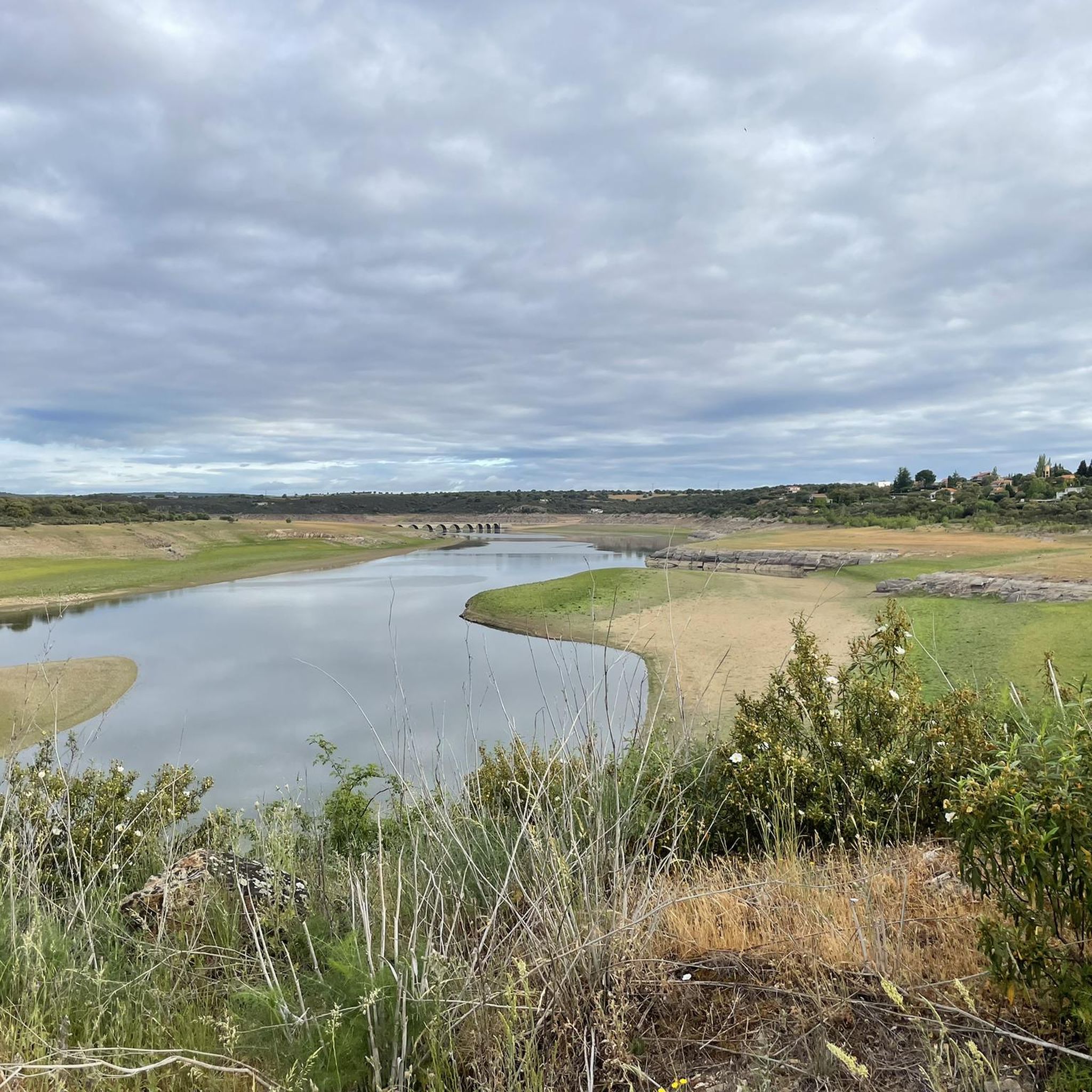
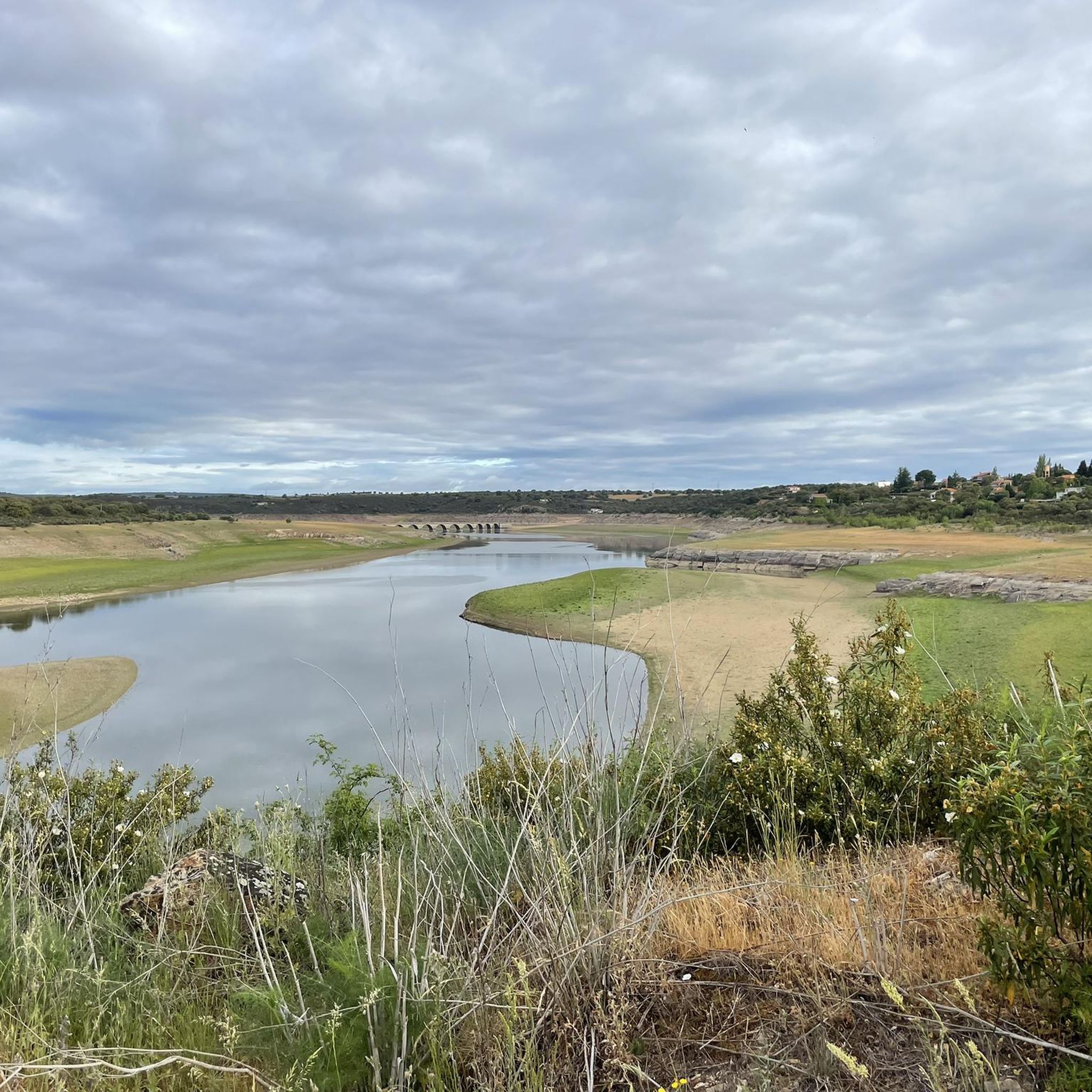
It's located in the heart of the Arribes del Duero Natural Park, an area of great scenic beauty and biodiversity. Things to do nearby: Viewpoints: The viewpoint at the bridge itself and others nearby, such as the one in Villadepera. Hiking trails: Paths through the Arribes, ideal for photography and birdwatching. Charming villages: Villadepera, Pino del Oro, and other towns in the area. From the bridge, you can admire the granite cliffs of the Duero River and the deep riverbed that marks the natural border with Portugal.
2
0
The Requejo Bridge, also known as the Pino Bridge, is a jewel of historical engineering located in Villadepera (Zamora) over the Duero River, within the Arribes del Duero Natural Park. Year of inauguration: 1914. Designed by the engineer José Eugenio Ribera, a pioneer in the use of reinforced concrete in Spain. It was built to connect the Aliste and Sayago regions, facilitating communication between Zamora and Portugal.
2
0
Tábara, located in the northwest of the province of Zamora (Castilla y León), is a town with a rich medieval history, a stunning natural setting, and a significant cultural heritage. Origins: These date back to the Bronze Age and Roman period. Middle Ages: It was an important monastic center with the Monastery of San Salvador de Tábara, founded by Saint Froilán in the 9th century at the behest of Alfonso III.
10
0

This park is located just outside the city center on the N-128 road toward the Santa Lucía neighborhood. It is a large park, located below the walled area of the Castle, on the banks of the Fresno River. Here, the river is dammed, and there is a bar-café with a very pleasant terrace where you can enjoy a drink, and where you can practice non-motorized water sports, such as canoeing or taking a trip along the river by renting a pedal boat. There is a significant gradient from the road to the riverbank, and numerous paths and pedestrian trails for leisurely strolls.
2
0
This park stretches for about 1.5 kilometres, following the course of the Fresno River. It is a leisure area that offers pedestrian trails along the banks and a pier with support facilities. Along the river, you can see restored mills, fountains and watermills.
2
0

Things to see in Miranda do Douro
0
0
Frequently Asked Questions
How many road cycling routes are available around Perilla De Castro?
There are 8 dedicated road cycling routes around Perilla De Castro on komoot, offering a range of experiences for cyclists.
What kind of terrain can I expect on road cycling routes in Perilla De Castro?
The road cycling routes around Perilla De Castro feature varied terrain within the Castile and León region. You can expect a mix of surfaces, with many routes including significant elevation gains, providing a challenging ride through the local landscape.
Are there road cycling routes suitable for different fitness levels?
Yes, the area offers routes for various abilities. You'll find 5 moderate routes and 3 difficult routes, ensuring options whether you're looking for a challenging climb or a more balanced ride.
What are some notable landmarks or historical sites I can see while cycling?
The region around Perilla De Castro is rich in history. You can cycle past the Junction of Camino Sanabrés and Via de la Plata, or explore near the San Juan Church and Pilgrim Hostel in Granja de Moreruela. Other historical points of interest include the Hermitage of the Virgin of the Castle and the Cistercian Monastery of Santa María de Moreruela.
Which road cycling routes offer significant elevation challenges?
For those seeking a significant climb, the Requejo Bridge – View of Requejo Bridge loop from Carbajales de Alba is a difficult route with over 4,297 feet (1,309 meters) of elevation gain. Another challenging option is the Yellow Rock Viewpoint – Castle and Alcazaba ruins loop from Carbajales de Alba, which features over 1,567 meters of climbing.
Are there any circular road cycling routes available?
Yes, several routes are designed as loops. For instance, the Requejo Bridge – View of Requejo Bridge loop from Carbajales de Alba and the Tábara loop from Olmillos de Castro are popular circular options, allowing you to start and end in the same location.
What is a good moderate-difficulty road cycling route in the area?
A popular moderate route is the Tábara loop from Olmillos de Castro. This 34.0-mile (54.7 km) path includes over 2,159 feet (658 meters) of climbing, offering a balanced challenge through the local landscape.
Can I find routes that combine cycling with historical exploration?
Absolutely. Routes like the Valdoradas Bridge – Alba Castle loop from Escober de Tábara lead through historical areas, allowing you to enjoy both the ride and the cultural heritage of the region.
What do other cyclists say about road cycling in Perilla De Castro?
More than 20 road cyclists have used komoot to explore Perilla De Castro's varied terrain. They often highlight the diverse landscape and the historical connections found along the routes.
Are there any longer road cycling routes for extended rides?
For longer rides, consider the Yellow Rock Viewpoint – Castle and Alcazaba ruins loop from Carbajales de Alba, which spans 113.5 kilometers (70.5 miles). Another option is the Requejo Bridge – View of Requejo Bridge loop from Carbajales de Alba, a 60.4-mile (97.1 km) trail.
What is the best time of year for road cycling in Perilla De Castro?
While specific seasonal advice isn't detailed, the Castile and León region generally offers pleasant cycling conditions during spring and autumn with milder temperatures. Summer can be hot, and winter might bring colder weather, so checking local forecasts is always recommended.
Are there any routes that offer scenic viewpoints?
Yes, the Yellow Rock Viewpoint – Castle and Alcazaba ruins loop from Carbajales de Alba suggests scenic vistas, as its name includes 'Yellow Rock Viewpoint'. The varied terrain of the region also promises many picturesque moments.
Most popular routes around Perilla De Castro
Most popular attractions around Perilla De Castro

Get inspired with the komoot mobile app


Explore more
Browse the best Road cycling routes in other regions.
