The best cycling routes around Mancomunidad De Campoo-Cabuérniga
4.0
(2)
157
riders
15
rides
Touring cycling routes around Mancomunidad De Campoo-Cabuérniga traverse a diverse landscape within the Cantabrian Mountains, featuring dramatic peaks such as Picos de Europa and Peña Labra. The region is characterized by extensive natural spaces, including dense forests in the Cabuérniga valley and high mountain plateaus like El Moral. Cyclists encounter varied topography, from challenging ascents to routes along the headwaters of the Saja River and bordering the Ebro River basin. This area offers a range of terrains suitable for touring…
Last updated: June 28, 2026
8
riders
Hard bike ride. Very good fitness required. You may need to push your bike for some segments of this route.
58
riders
51.4km
04:38
1,290m
1,290m
Hard bike ride. Very good fitness required. You may need to push your bike for some segments of this route.

Sign up for free
29
riders
Hard bike ride. Very good fitness required. Mostly paved surfaces. Suitable for all skill levels.
5.0
(1)
14
riders
32.8km
02:09
430m
430m
Moderate bike ride. Good fitness required. Mostly paved surfaces. Suitable for all skill levels.
12
riders
Hard bike ride. Very good fitness required. Mostly paved surfaces. Suitable for all skill levels.
Get access to more routes and recommendations from other explorers.
Sign up for free
Already have an account?
Our route recommendations are based on thousands of hikes, rides, and runs completed by other people on komoot.
Start today with a free account
Your next adventure awaits.
Login or Signup
Tips from the Community

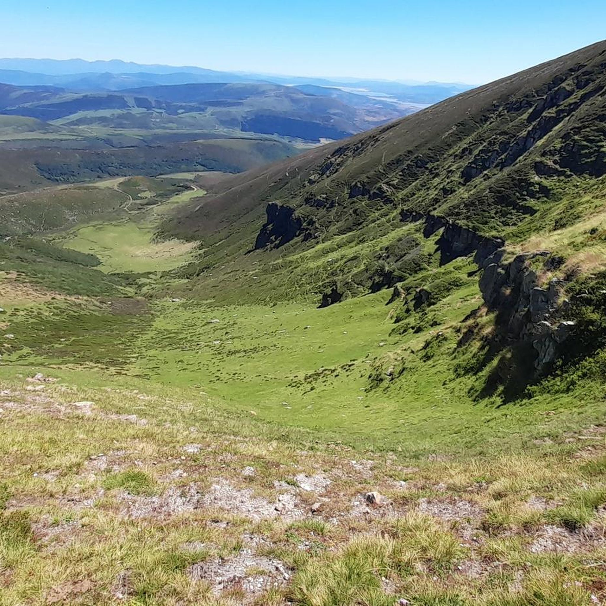
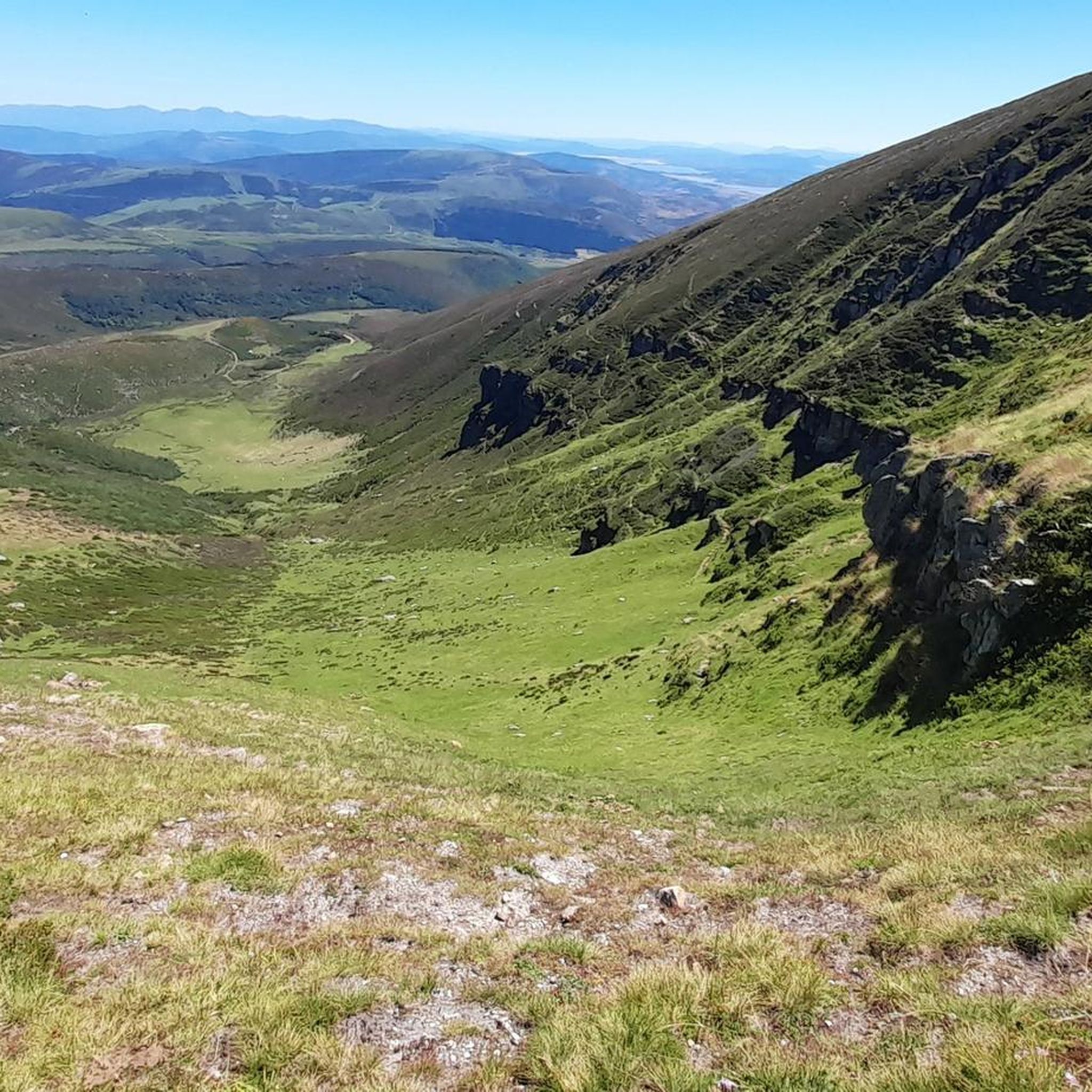
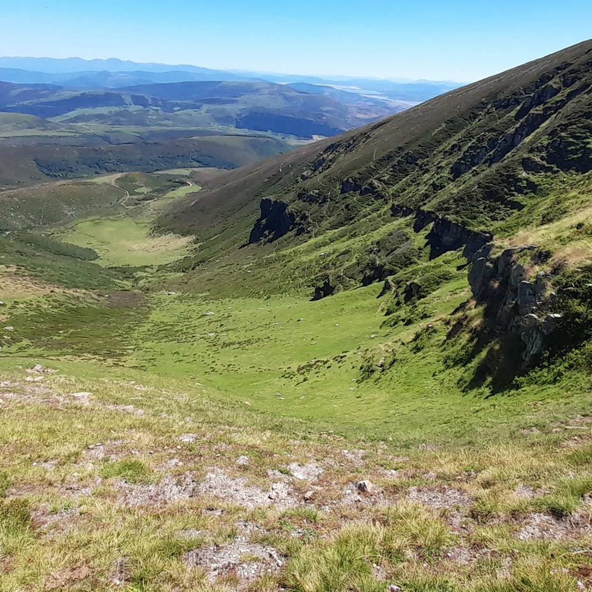
After a beautiful gravel climb, you reach this plateau with stunning views (including the Picos de Europa in the distance). The path then continues for a long time at altitude, with many cows and horses. Take a look: https://www.youtube.com/watch?v=OgEcgF17RDw
0
0
Indeed, a beautiful spot with breathtaking views, both towards the Picos de Europa and other Cantabrian mountains. The (gravel) road there is also stunning; just take a look: https://www.youtube.com/watch?v=OgEcgF17RDw
0
0

And it's also the starting point for a ton of really cool routes.
2
0

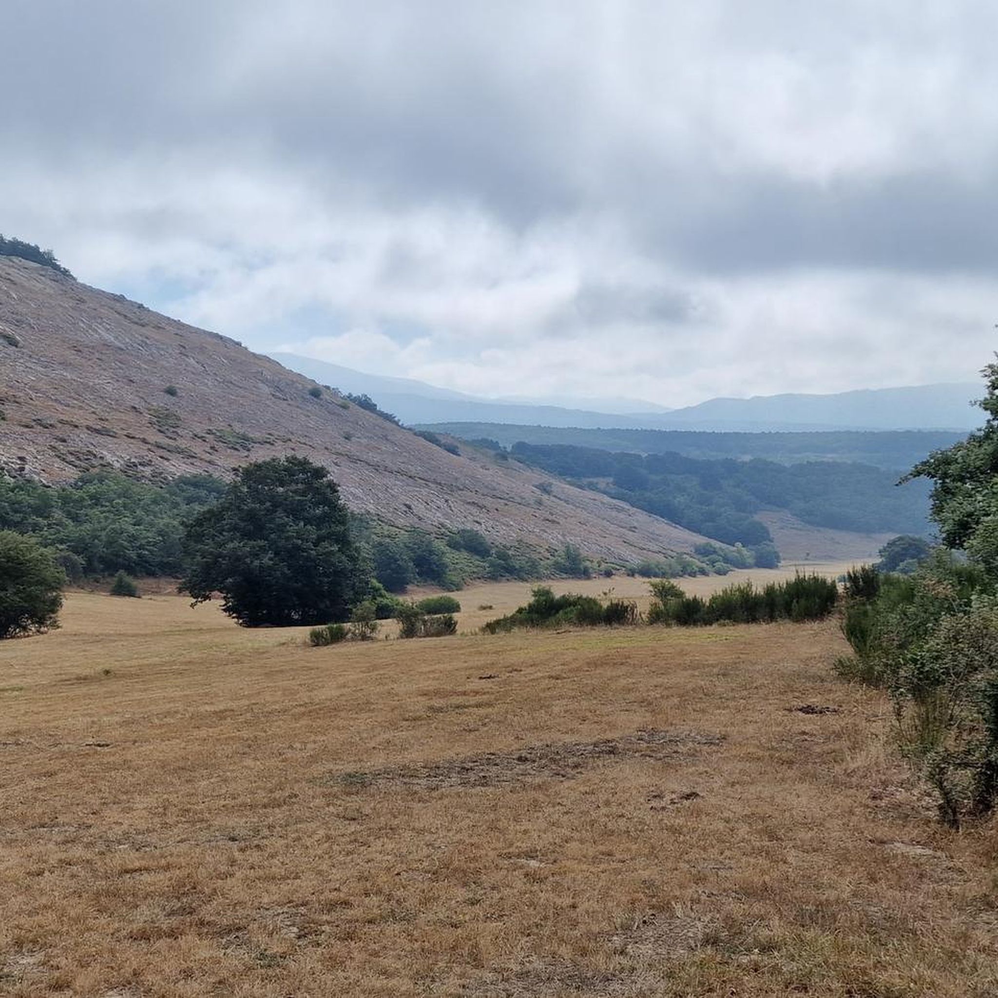
We set out with the hope of ascending to the summit of Tresmares, where the Hijar-Ebro River begins and flows into the Mediterranean, the Pisuerga River (a tributary of the Duero River) flows into the Atlantic, and the Nansa River flows into the Cantabrian Sea. But a thick, damp fog covering the landscape forced us to give up and head back down the same way we came up. The road is partially covered by a bike lane and very little traffic. A steady climb of around 10%. Absolutely recommended. A few years ago, the Alto Campoo pass was the final stage of La Vuelta a España.
0
0
Officially, it's the source of the Ebro River, in Fontibre. However, according to what we were told at the tourist office, the waters of the spring pools come underground from the Hijar River, which rises in Alto Campoo. Specifically, in Tresmares, where the Hijar-Ebro begins, flowing into the Mediterranean; the Pisuerga (a tributary of the Duero) flows into the Atlantic; and the Nansa flows into the Cantabrian Sea.
0
0

Beautiful little chapel located in an incredible place with beautiful views.
0
0

Spectacular beech forest in the Saja park that is part of the 10,000 of Soplao
1
0
Frequently Asked Questions
How many touring cycling routes are available in Mancomunidad De Campoo-Cabuérniga?
There are over 15 touring cycling routes in Mancomunidad De Campoo-Cabuérniga, offering a variety of experiences across the region's diverse landscapes. These routes are highly rated by the komoot community, with an average score of 3.75 stars.
Are there any easy touring cycling routes suitable for beginners or families?
While many routes in the region are challenging, there are a few easier options. The guide lists 2 easy and 2 moderate routes. For example, the La Tienda de Pepin – Santa Lucía Recreation Area loop from Cabuérniga is a moderate 44.6 km route with less elevation gain, making it more accessible.
What are some of the most challenging touring cycling routes in the area?
Mancomunidad De Campoo-Cabuérniga is known for its challenging terrain, with 12 difficult routes listed. Routes like Bárcena Mayor and Balcón de Cardosa from Correpoco and Casa del Monte de Ucieda – Ermita del Moral loop from Los Tojos feature significant ascents, including climbs with over 1,200 meters of elevation gain, comparable to passes in the Pyrenees or Alps.
Are there circular touring cycling routes in Mancomunidad De Campoo-Cabuérniga?
Yes, many of the touring cycling routes in the region are circular, allowing you to start and end at the same point. Examples include the popular Bárcena Mayor and Balcón de Cardosa from Correpoco – circular through the Saja-Besaya Natural Park and the Bárcena Mayor – Vegetation tunnels loop from Cabuérniga.
What kind of landscapes can I expect to see while touring cycling in this region?
The region offers diverse and striking natural landscapes. You'll cycle through dense forests in the Cabuérniga valley, along the headwaters of the Saja River, and near the Ebro River basin. Expect dramatic backdrops of the Cantabrian Mountains, with views of iconic peaks like Picos de Europa and Peña Labra.
What are some notable viewpoints or attractions along the cycling routes?
The region is rich in natural viewpoints. You can visit the Piedrasluengas Viewpoint, offering panoramic vistas of the Cantabrian Mountains and Picos de Europa. The El Moral Plateau also presents amazing landscapes, often accessible via forest tracks. For high-altitude views, consider routes near Tres Mares Peak.
Is it possible to spot wildlife while cycling in Mancomunidad De Campoo-Cabuérniga?
Yes, the extensive natural spaces, including dense forests and large communal grazing areas, make it a significant area for wildlife. You might encounter the indigenous Tudanca cattle breed, adapted to the mountain habitat, and other local fauna in the less populated areas.
What is the best time of year for touring cycling in Mancomunidad De Campoo-Cabuérniga?
The varied topography and mountain passes suggest that late spring, summer, and early autumn are ideal for touring cycling, offering pleasant weather and clear views. Winter cycling might be possible on lower routes, but higher mountain passes could be challenging due to snow and colder conditions.
Are there any routes that explore the Saja-Besaya Natural Park?
Absolutely. The Bárcena Mayor and Balcón de Cardosa from Correpoco – circular through the Saja-Besaya Natural Park is a popular difficult route that leads directly through this significant natural area, offering immersive experiences in its forests and valleys.
Can I find routes that lead to the source of the Ebro River?
Yes, the Brañavieja – Source of the Ebro River loop from Estación de Esquí y Montaña Alto Campoo is a notable route that takes you through the Alto Campoo area towards the source of one of Spain's most important rivers.
What makes the Mancomunidad De Campoo-Cabuérniga region unique for touring cyclists?
Its unique blend of challenging mountain passes, diverse routes through dense forests and river valleys, and breathtaking viewpoints like Piedrasluengas and Tres Mares Peak make it exceptional. The region's unpopulated nature, largely dedicated to pastures, ensures quiet roads and immersion in unspoiled natural environments, offering a compelling experience for serious cyclists.
Most popular routes around Mancomunidad De Campoo-Cabuérniga
Most popular attractions around Mancomunidad De Campoo-Cabuérniga

Get inspired with the komoot mobile app


Explore more
Browse the best Cycling routes in other regions.
