The best walks and hikes around Talveila
4.8
(157)
1,407
hikers
37
hikes
Hiking around Talveila offers access to diverse natural landscapes within the province of Soria, Spain. The region is characterized by significant geological formations, including karstic springs and dramatic canyons carved by rivers. Hikers can explore areas featuring valleys, cliffs, and extensive juniper forests.
Best hiking trails around Talveila
- The most popular hiking route is Cañón del Río Lobos, Senda de las Gullurías y Ermita de San Bartolomé, a 6.4 miles (10.3 km) trail that takes 3 hours to complete.…
Last updated: May 23, 2026
4.7
(43)
254
hikers
10.3km
03:00
190m
190m
Moderate hike. Good fitness required. Mostly accessible paths. Sure-footedness required.
4.0
(5)
11
hikers
Moderate hike. Good fitness required. Mostly accessible paths. Sure-footedness required.

Sign up for free
4.8
(25)
213
hikers
Moderate hike. Good fitness required. Mostly accessible paths. Sure-footedness required.
5.0
(10)
149
hikers
Moderate hike. Good fitness required. Mostly accessible paths. Sure-footedness required.
5.0
(1)
88
hikers
Moderate hike. Great for any fitness level. Mostly accessible paths. Sure-footedness required.
Get access to more routes and recommendations from other explorers.
Sign up for free
Already have an account?
Our route recommendations are based on thousands of hikes, rides, and runs completed by other people on komoot.
Start today with a free account
Your next adventure awaits.
Login or Signup
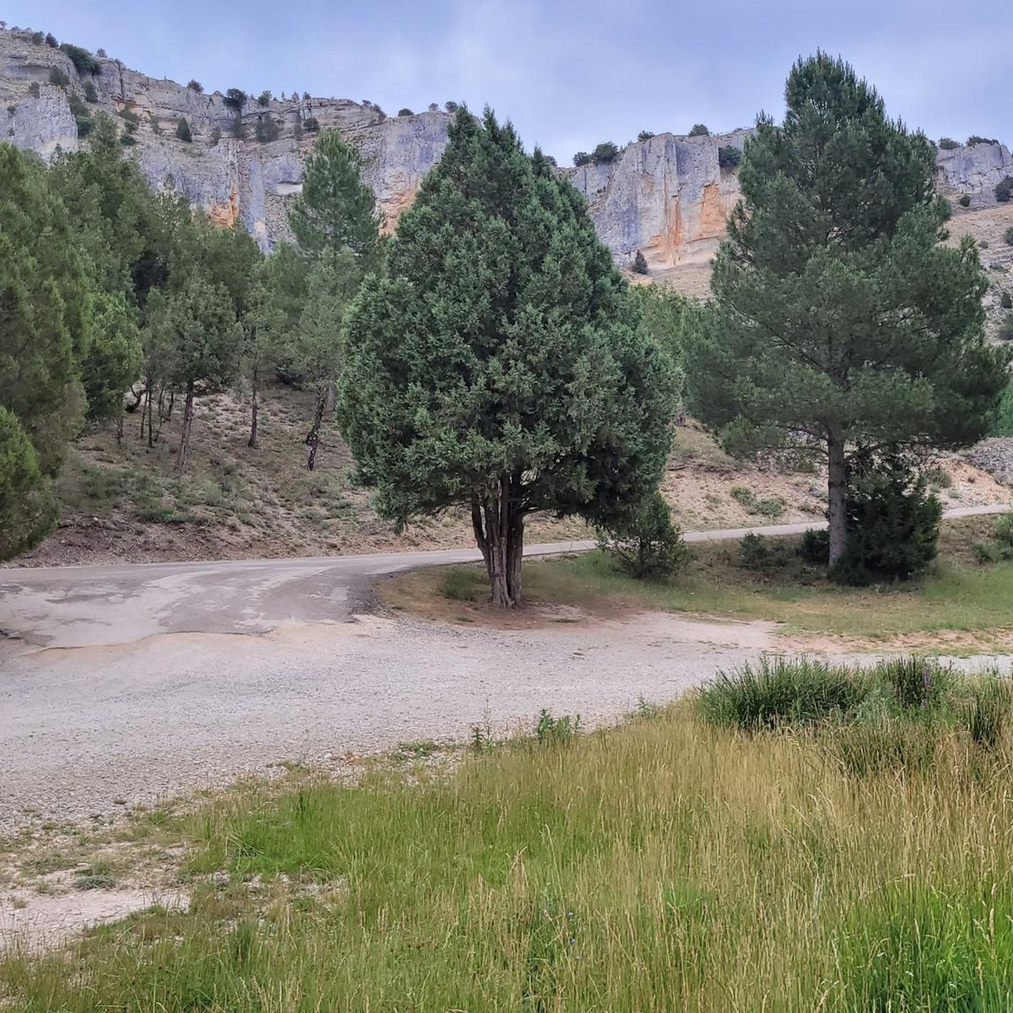
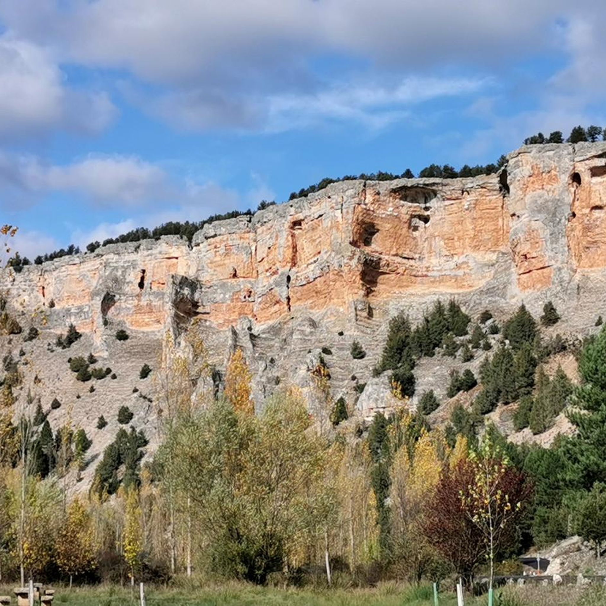
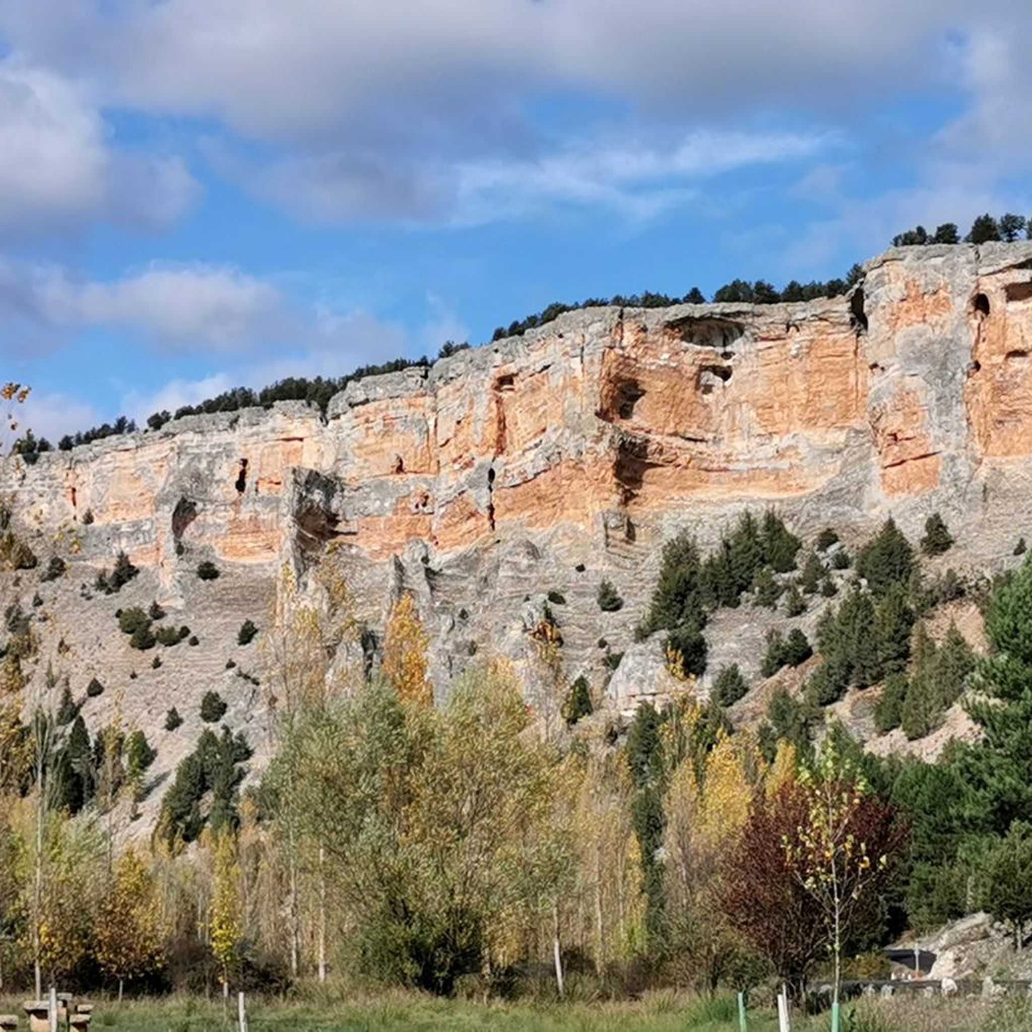
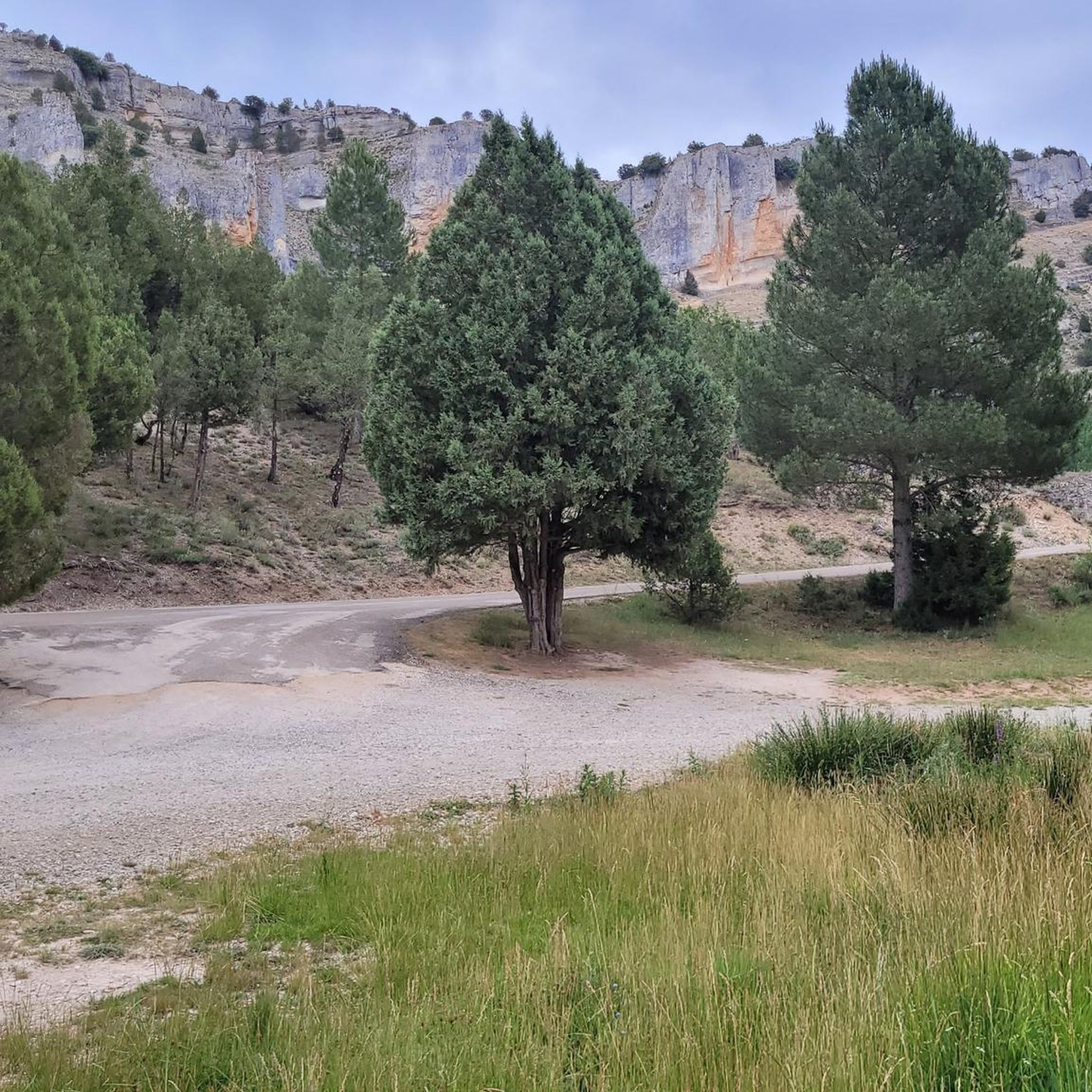

Tips from the Community

A magical place, surrounded by nature
0
0

Incredible place at the bottom of the gorges
0
0

One of the resources traditionally exploited in the region was honey collection. This spot, known as "El Colmenar de los Frailes," housed the Templar community's beehives. They were made from hollowed tree trunks, each with a stone slab placed on top as a lid, leaving small entrance areas for the bees. They lined the rocky outcrops of the Canyon.
0
1

The Gullurías Viewpoint is a spectacular vantage point located in the Cañón del Río Lobos Natural Park. From the viewpoint, you can see the pine forests of Soria and Burgos, as well as the peaks of the Iberian System, including Urbión Peak.
4
0
The Hermitage of San Bartolomé is a fascinating church located in the Cañón del Río Lobos Natural Park, in the communities of Herrera de Soria, Nafría de Ucero, and Ucero. Built in the first quarter of the 13th century, in a style that transitions from Romanesque to Gothic.
4
0
Nice area for outdoor activities.
0
1
Frequently Asked Questions
What types of hiking trails can I find around Talveila?
Talveila offers a diverse range of hiking trails, from easy strolls to more challenging paths. You'll find routes exploring dramatic river canyons, unique karstic springs, and varied forest landscapes. There are over 35 routes available, with 16 easy, 18 moderate, and 3 difficult options.
Are there any circular hiking routes near Talveila?
Yes, there are several circular routes. For example, the Cañón de Casarejos y Cañón del río Lobos – circular desde Casarejos por el barranco de la Calzada is a moderate 14.4 km path offering views of both canyons. Another option is the Source of the Ucero River – Valdecea Pond and Cliffs loop from Ucero, a 11.5 km moderate trail.
What natural features can I explore while hiking in the Talveila region?
The region is rich in natural beauty. You can explore the impressive Cañón de Río Lobos Natural Park with its dramatic canyons, intricate cave systems, and valleys. Another significant feature is La Fuentona de Muriel, a striking karstic spring and Natural Monument. The area also boasts extensive juniper forests and enchanting woodlands like the Bosque Mágico de la Fuente del Pino.
Are there any waterfalls or caves to visit on the trails?
Yes, the region features both. Within the Cañón de Río Lobos area, you can find the El Chorrón Waterfall. For caves, consider visiting the Cueva Grande (Río Lobos Canyon). The Cañón de Río Lobos itself is known for its intricate cave systems.
What are some interesting landmarks or attractions near the hiking trails?
Beyond natural wonders, you can visit the historic Hermitage of San Bartolomé, uniquely set within the Cañón de Río Lobos. Another notable natural landmark is the Devil's Eye (Natural Rock Arch). For information on the local ecosystem, the Casa del Parque de la Fuentona y Sabinar de Calatañazor is a great resource.
Are there any easy or family-friendly hiking options around Talveila?
Yes, Talveila offers 16 easy routes, making it suitable for families or those looking for a more relaxed walk. While specific family-friendly routes aren't detailed, the presence of enchanting woodlands like the Bosque Mágico de la Fuente del Pino suggests ideal spots for leisurely walks.
What do other hikers enjoy most about the trails in Talveila?
The trails in Talveila are highly rated by the komoot community, with an average score of 4.8 stars from over 170 reviews. Hikers often praise the dramatic river canyons, the unique karstic springs, and the varied forest landscapes. Many appreciate the network of routes that cater to different ability levels.
Can I find places to stay overnight or shelters along the routes?
Yes, there are several huts and shelters in the vicinity. You might come across places like Taina de la Verguilla, Refugio del Sotolengo, or Cabeza Alta Refuge, which can serve as resting points or overnight stays for longer excursions.
Are there opportunities for wildlife spotting while hiking?
Absolutely. The Cañón de Río Lobos Natural Park is a Special Protection Area for birds and is home to a large colony of griffon vultures, offering excellent birdwatching opportunities. The emphasis on nature and wildlife throughout the region means you're likely to encounter various species in their natural habitats.
What is a good moderate hike to experience the canyons and a historical site?
A great option is the Cañón del Río Lobos, Senda de las Gullurías y Ermita de San Bartolomé. This moderate 10.3 km trail takes about 3 hours to complete and allows you to explore the impressive canyon while also visiting the historic Hermitage of San Bartolomé.
Are there any challenging hikes for experienced trekkers?
Yes, for those seeking more demanding adventures, Talveila offers 3 difficult routes. These trails typically feature greater elevation changes or more rugged terrain, providing a good challenge for experienced hikers.
What kind of landscapes can I expect on a hike through the Ucero River area?
Hiking near the Ucero River, such as on the Source of the Ucero River – Valdecea Pond and Cliffs loop from Ucero, will lead you through picturesque river landscapes, past tranquil ponds like Valdecea Pond, and alongside impressive cliffs, offering a varied and scenic experience.
Most popular attractions around Talveila

Get inspired with the komoot mobile app


Explore more
Browse the best Hikes in other regions.
