The best walks and hikes around Carcastillo
4.3
(15)
69
hikers
5
hikes
Hiking around Carcastillo offers access to diverse landscapes in the Navarra region, characterized by its proximity to the Bardenas Reales natural park. The terrain includes semi-arid badlands, riverine areas, and agricultural plains. Elevation changes are generally moderate, making many routes accessible for various fitness levels. The area features a mix of open vistas and paths alongside historical sites.
Best hiking trails around Carcastillo
- The most popular hiking route is Castillo de Santacara to Ciudad romana de Cara – circular from…
Last updated: May 11, 2026
4.0
(1)
3
hikers
Moderate hike. Good fitness required. Easily-accessible paths. Suitable for all skill levels.
5
hikers
10.9km
02:58
160m
160m
Hike the moderate 6.8-mile Presa de Carcastillo and Mirador de Larrate Trail, offering panoramic views of the Aragón river valley.

Sign up for free
4.9
(9)
44
hikers
Moderate hike. Good fitness required. Easily-accessible paths. Suitable for all skill levels.
5.0
(2)
4
hikers
Easy hike. Great for any fitness level. Easily-accessible paths. Suitable for all skill levels.
3.0
(1)
3
hikers
Moderate hike. Good fitness required. Easily-accessible paths. Suitable for all skill levels.
Our route recommendations are based on thousands of hikes, rides, and runs completed by other people on komoot.
Start today with a free account
Your next adventure awaits.
Login or Signup
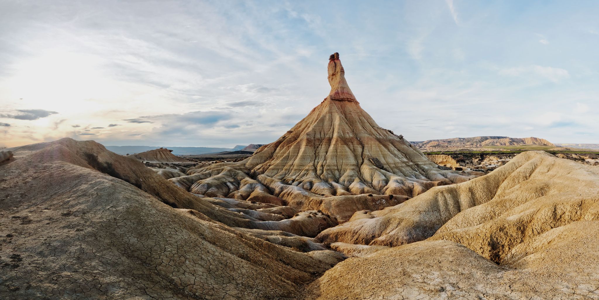
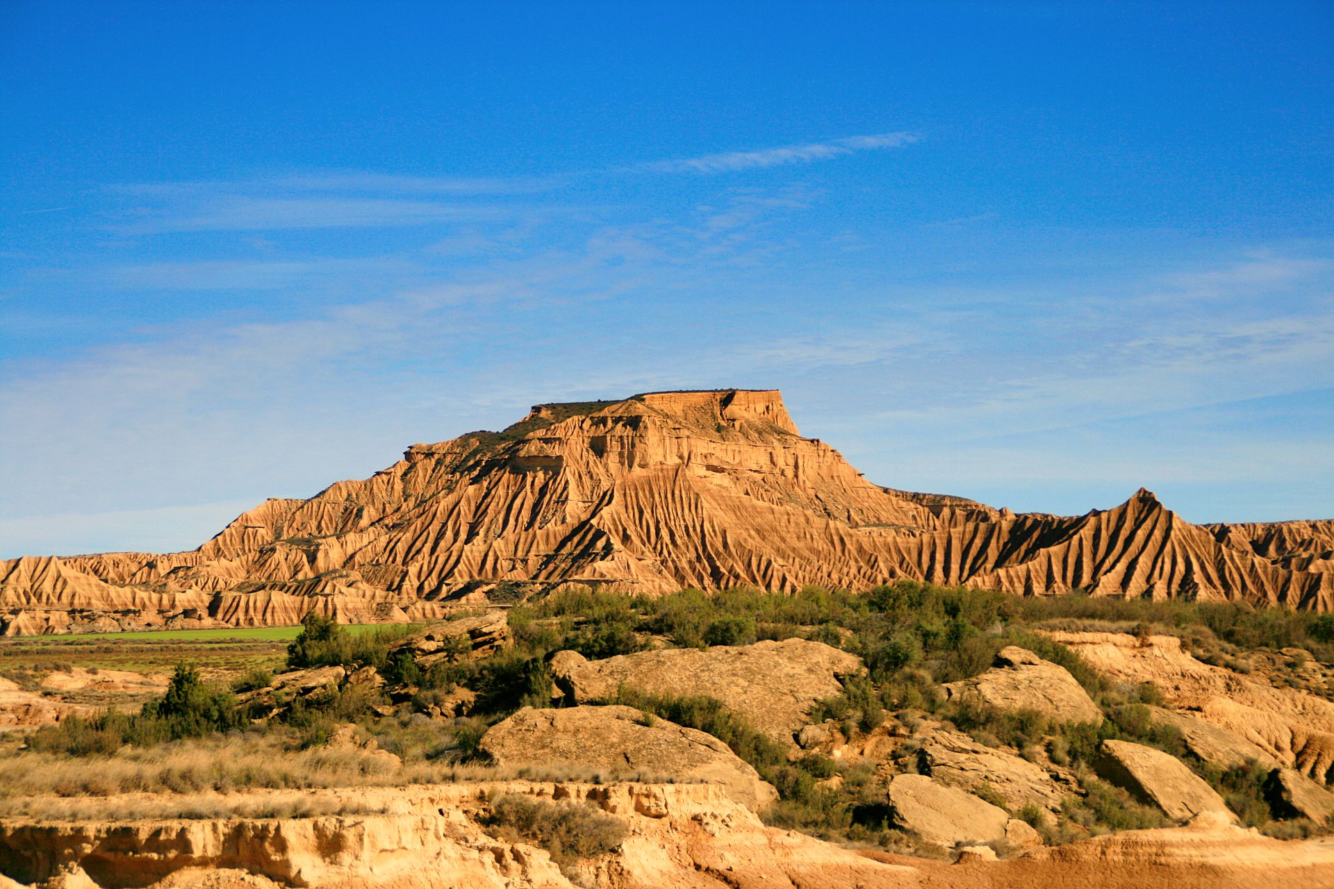
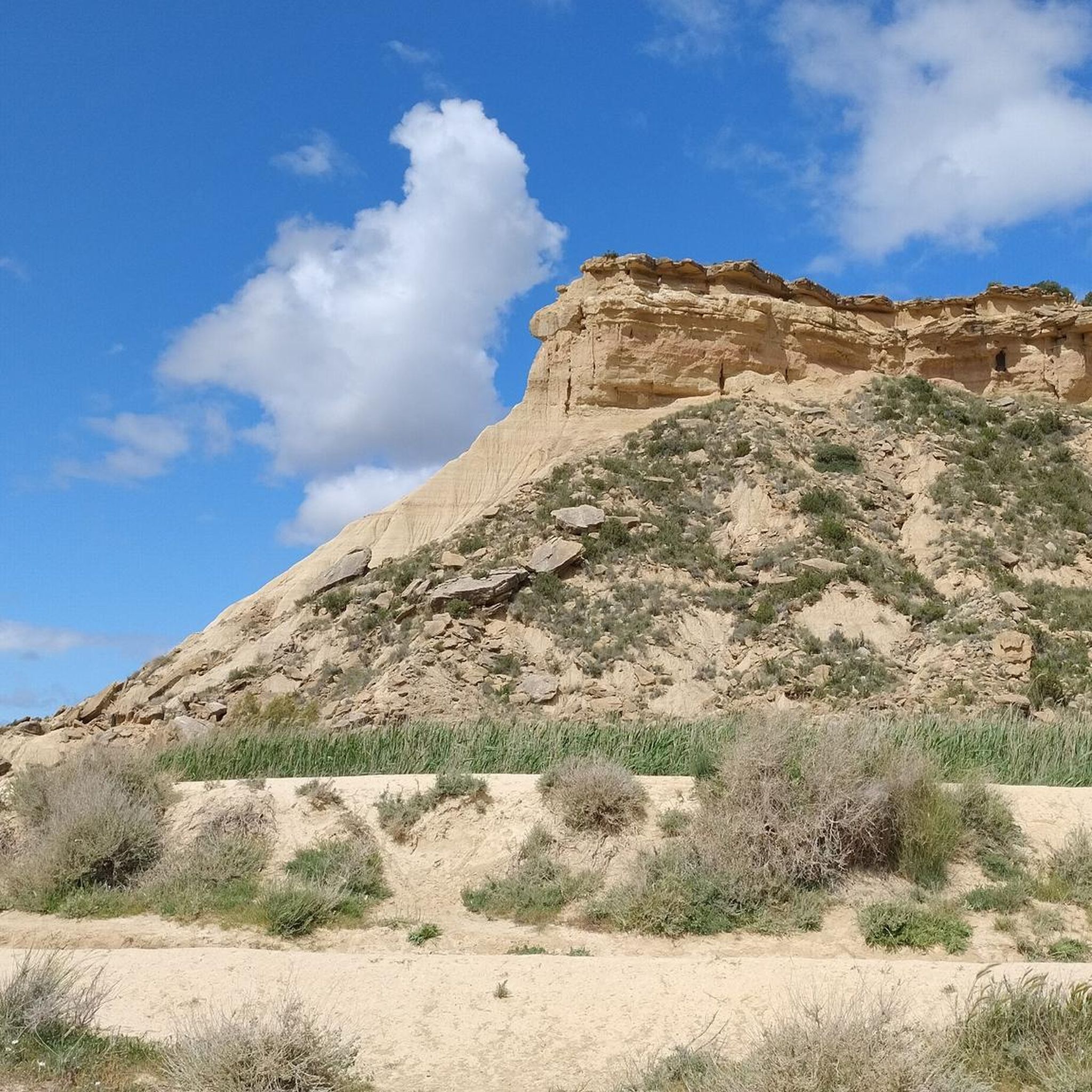
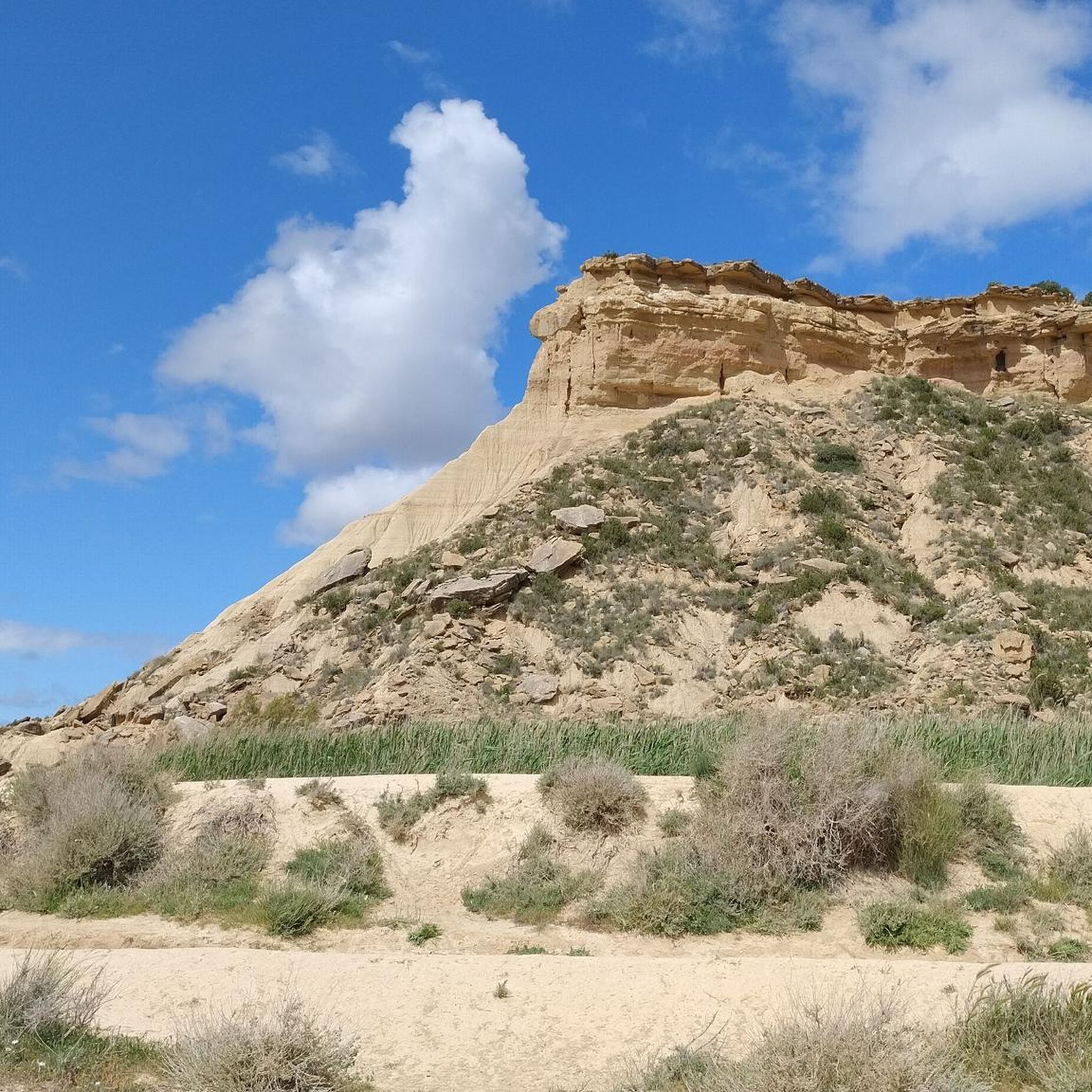



Tips from the Community

This route, while fantastic and spectacular, should be removed from Komoot. It's no longer visible, the steps are barely visible, and at too many points it's truly irresponsible and life-threatening!
0
0

Take care when climbing. There are no marked hiking trails. Follow previous footprints for orientation.
0
0
Hi guys, I would highly recommend NOT TO HIKE this. This is not a proper hike, this is just craziness to go on this mountain. The path no longer exists. The stairs are completely broken. If you slip, you die. I never got scared like this and I’m a serious hiker. JUST DONT DO IT.
1
0

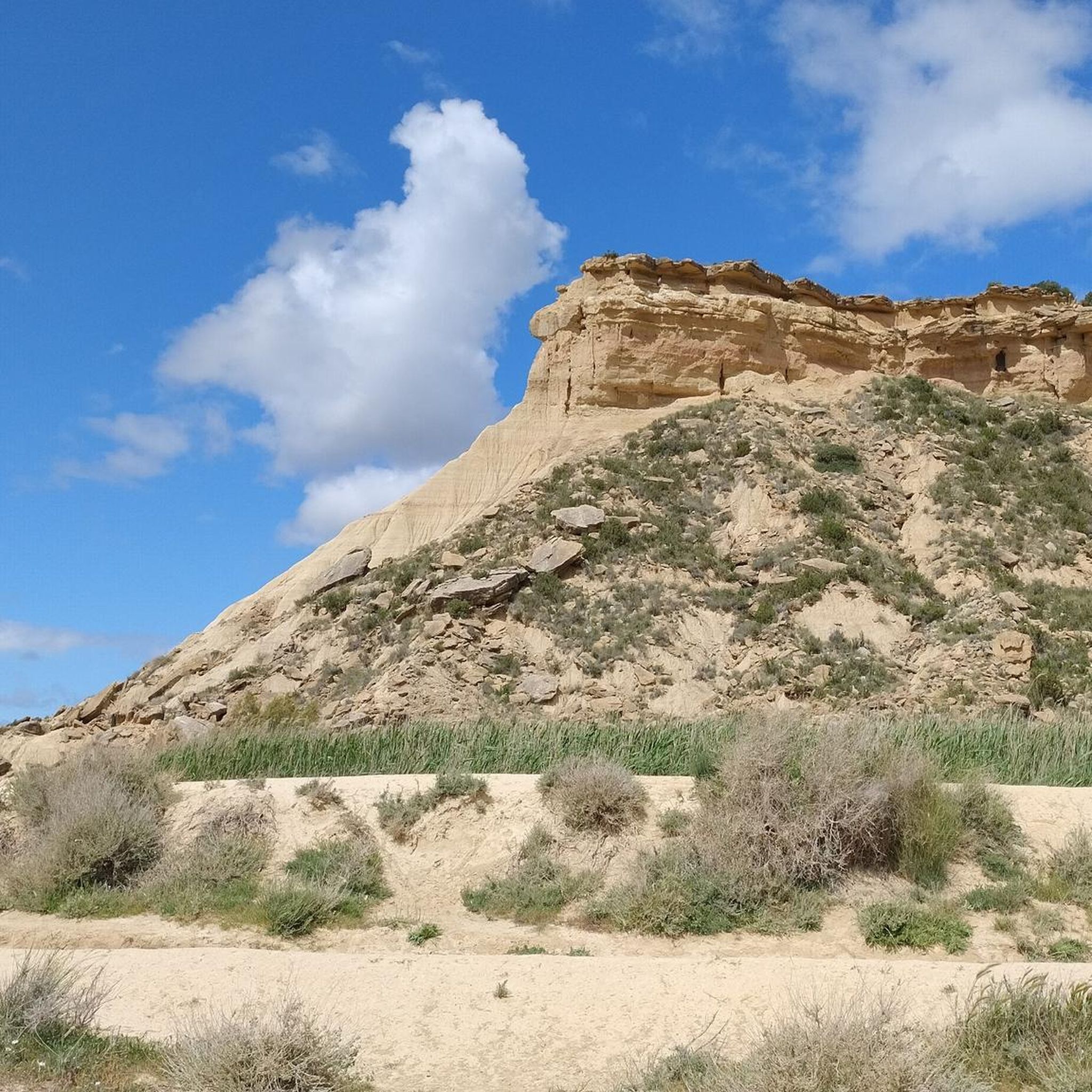
Flat-wheel formations are common in the Bardenas region. Of all of them, El Rallón is undoubtedly the most impressive. An immense plain with sharp edges that form dizzying walls.
1
0

Warning! Update 2025: Do not hike this trail! The descent from Piskerra no longer exists. The ascent to Piskerra is also not easy and not for beginners. The same applies to the broken steps. It took me three hours to complete the entire hike, twice as long as planned, and at times I was in mortal danger. No joke.
1
0
Warning! Update 2025: Do not hike this trail! The descent from Piskerra no longer exists. The ascent to Piskerra is also not easy and not for beginners. The same applies to the broken steps. It took me three hours to complete the entire hike, twice as long as planned, and at times I was in mortal danger. No joke.
2
0
Frequently Asked Questions
Are there easy hiking trails suitable for beginners in Carcastillo?
Yes, Carcastillo offers several accessible routes. For beginners, the Bardena Blanca Viewpoint – View of the Bardenas Reales loop from Cabezo de Piskerra is an excellent choice. This easy 3.6-mile (5.8 km) loop takes approximately 1 hour 35 minutes and provides stunning views of the Bardenas Reales without significant elevation gain.
Are the hiking trails around Carcastillo suitable for families with children?
Many trails around Carcastillo are suitable for families, especially those looking for moderate distances and manageable terrain. The region's diverse landscapes, including riverine areas and historical sites, offer engaging experiences. Consider routes with points of interest like the nearby castles or viewpoints to keep younger hikers entertained.
Can I bring my dog on the hiking trails in Carcastillo?
Generally, dogs are welcome on most hiking trails in the Carcastillo area, especially on public paths. However, when hiking within the Bardenas Reales Natural Park, it's advisable to keep dogs on a leash to protect local wildlife and respect park regulations. Always carry water for your pet, especially in the semi-arid conditions.
What historical sites or natural landmarks can I explore while hiking near Carcastillo?
The Carcastillo area is rich in both historical and natural landmarks. You can explore ancient ruins like the Tower of Santacara Castle or visit impressive natural features such as the Bardena Blanca Viewpoint and the Deer Pass. The Laguna de Pitillas Nature Reserve is also a notable natural monument nearby, offering opportunities for birdwatching.
What is the best time of year to go hiking in Carcastillo?
The best time to hike in Carcastillo is typically during spring (March to May) and autumn (September to November). During these seasons, temperatures are milder, making for more comfortable hiking conditions. Summer can be very hot due to the semi-arid climate, while winter can bring cooler temperatures, though snow is less common than in other parts of Navarra.
Are there circular hiking routes available in Carcastillo?
Yes, Carcastillo offers several circular hiking routes that allow you to start and end at the same point. An example is the Castillo de Santacara to Ciudad romana de Cara – circular from Santacara, a 5.4-mile (8.8 km) loop connecting historic castle ruins with ancient Roman city remains. This route is a moderate option, taking around 2 hours 19 minutes.
How long do hikes around Carcastillo typically take?
Hiking durations in Carcastillo vary depending on the route and your pace. Many of the popular trails are moderate in length, ranging from 2 to 4 hours. For instance, the Presa de Carcastillo and Mirador de Larrate Trail is a moderate 6.7-mile (10.9 km) path that typically takes around 3 hours to complete.
What kind of wildlife can I expect to see while hiking in Carcastillo?
Given its proximity to the Bardenas Reales Natural Park and its diverse landscapes, hikers in Carcastillo may encounter various wildlife. This includes birds of prey, such as eagles and vultures, as well as smaller mammals like wild boars, foxes, and rabbits. The Laguna de Pitillas Nature Reserve is particularly known for its birdlife.
Are there any lesser-known or 'hidden gem' trails in Carcastillo?
While the Bardenas Reales are well-known, exploring the less-trafficked paths can reveal hidden gems. Consider the Paso de los Ciervos – Bardena Blanca Viewpoint loop from Cabezo del Cubilar. This longer, moderate 9.3-mile (14.9 km) route offers a deeper immersion into the unique badlands terrain and provides expansive views away from the most popular spots.
What do other hikers say about their experience in Carcastillo?
The hiking routes in Carcastillo are highly rated by the komoot community, with an average score of 4.4 stars from over 10 reviews. Hikers often praise the unique semi-arid landscapes, the blend of natural beauty with historical sites, and the well-maintained paths that offer options for various fitness levels.
What are the hiking conditions like in Carcastillo during winter?
Winter hiking in Carcastillo generally offers cooler, crisp air, which can be pleasant for walking. While heavy snowfall is uncommon in the semi-arid plains, temperatures can drop, especially in the mornings and evenings. Trails are usually accessible, but it's always wise to check local weather forecasts and wear appropriate layers for warmth and potential wet conditions.
Most popular attractions around Carcastillo

Get inspired with the komoot mobile app


Explore more
Browse the best Hikes in other regions.
