The best cycling routes around Tíjola
4.9
(9)
221
riders
34
rides
Touring cycling around Tíjola offers diverse terrain within the Almanzora Valley, situated between the Sierra de los Filabres and Sierra de las Estancias. The region features a landscape of ravines, pine forests, and agricultural fields, providing varied elevation changes for cyclists. Routes often traverse mountain environments and follow historical railway lines, offering both challenging climbs and more accessible paths. This area is characterized by its natural gorges and prominent mountain ranges.
Best touring cycling routes around Tíjola
- The most popular…
Last updated: June 26, 2026
3
riders
25.0km
01:54
450m
450m
Cycle the moderate 15.5-mile Castillo de Sierro circular route via the Vía Verde del Valle del Almanzora, featuring historic castle views.
15.0km
01:15
220m
220m
Moderate bike ride. Good fitness required. Mostly paved surfaces. Suitable for all skill levels.

Sign up for free
58
riders
137km
10:38
3,670m
3,670m
Hard bike ride. Very good fitness required. Mostly paved surfaces. Suitable for all skill levels.
4.0
(2)
34
riders
50.5km
03:25
460m
460m
Hard bike ride. Very good fitness required. Mostly paved surfaces. Suitable for all skill levels.
5.0
(1)
15
riders
65.6km
05:06
1,730m
1,730m
Hard bike ride. Very good fitness required. Mostly paved surfaces. Suitable for all skill levels.
Get access to more routes and recommendations from other explorers.
Sign up for free
Already have an account?
Our route recommendations are based on thousands of hikes, rides, and runs completed by other people on komoot.
Start today with a free account
Your next adventure awaits.
Login or Signup
Tips from the Community

If you are passing through the Sierra de los Filabres near the summit of Calar Alto, the Fuente La Merendera is an almost mandatory stop at 1882 meters above sea level. This spring is famous for its fresh water that gushes from the metamorphic rocks of the mountains. Officially, there is a sign warning that it is not drinkable, but that does not stop locals and many passers-by from queuing with jugs, attracted by its water. Although, it is a good idea to filter the water before drinking it. If you need a long break, just across the road you will find a recreational area complete with tables, barbecues, and a viewpoint with spectacular views.
1
0

Recreation area with drinking water fountain
0
0

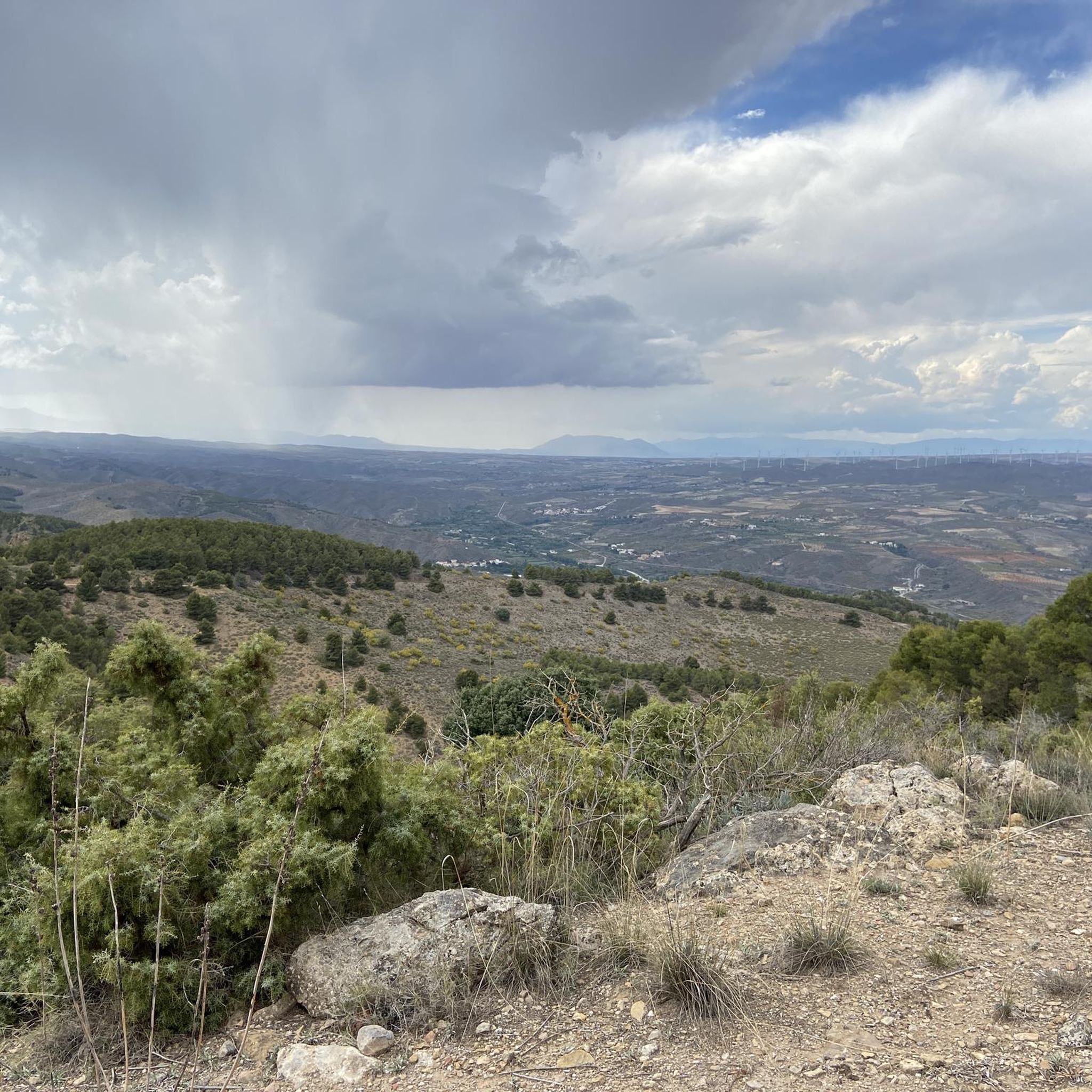
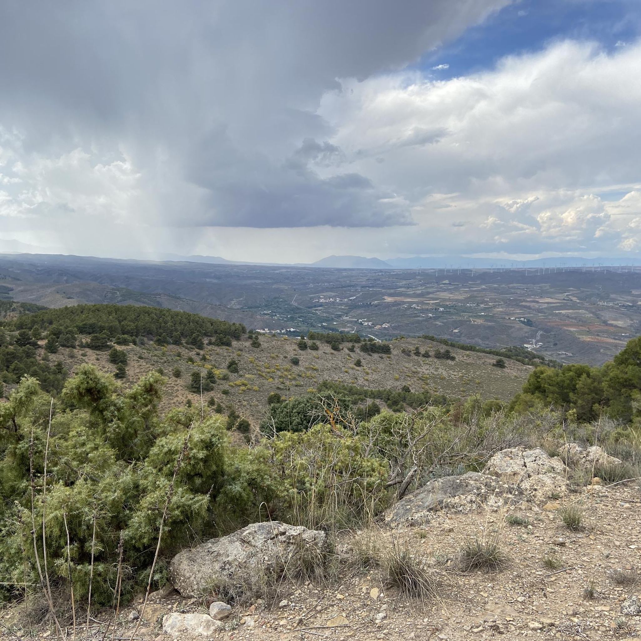
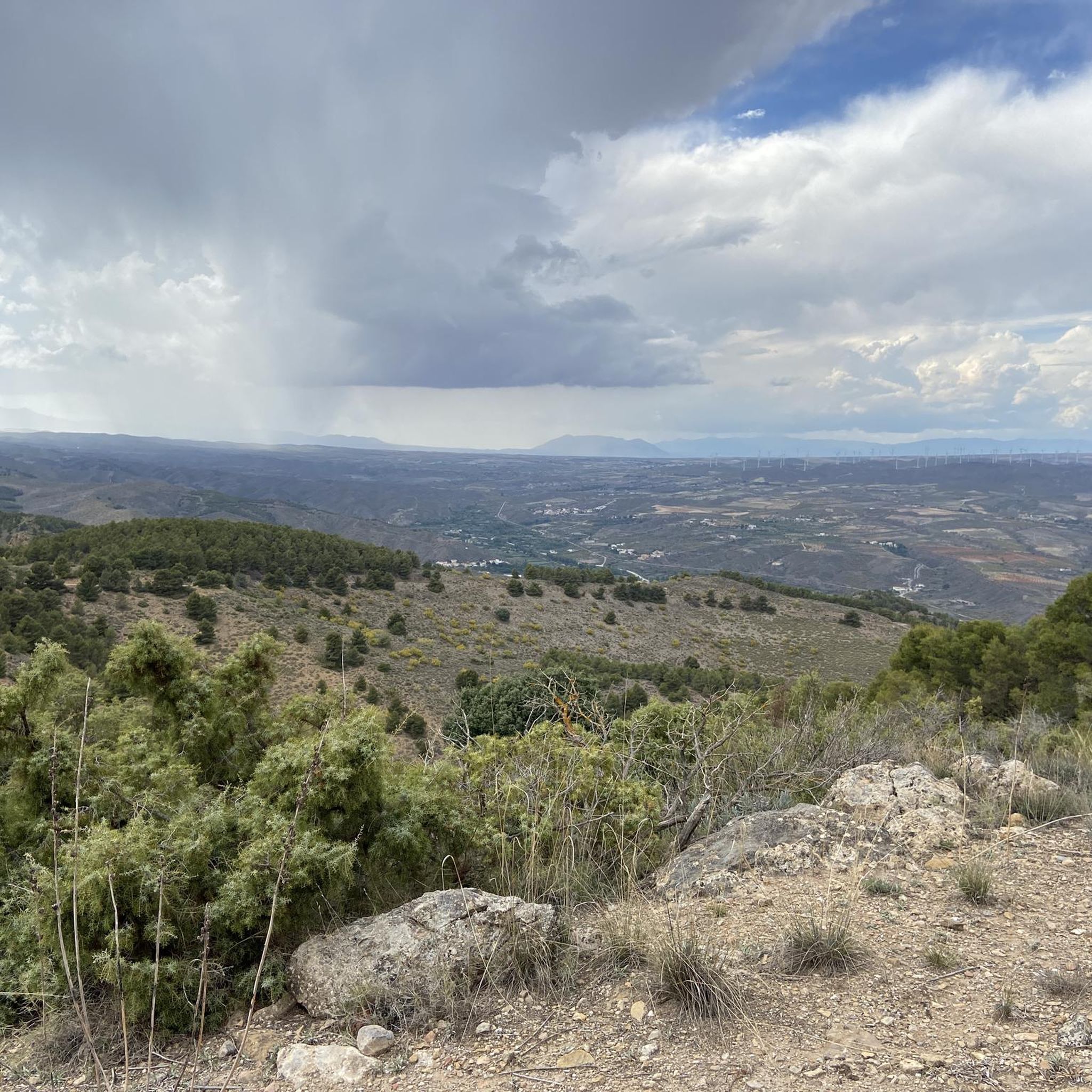
Both mountain ranges ensure that it hardly rains in this semi-desert area.
1
0
Nice shady spots, benches and beautiful views.
1
0
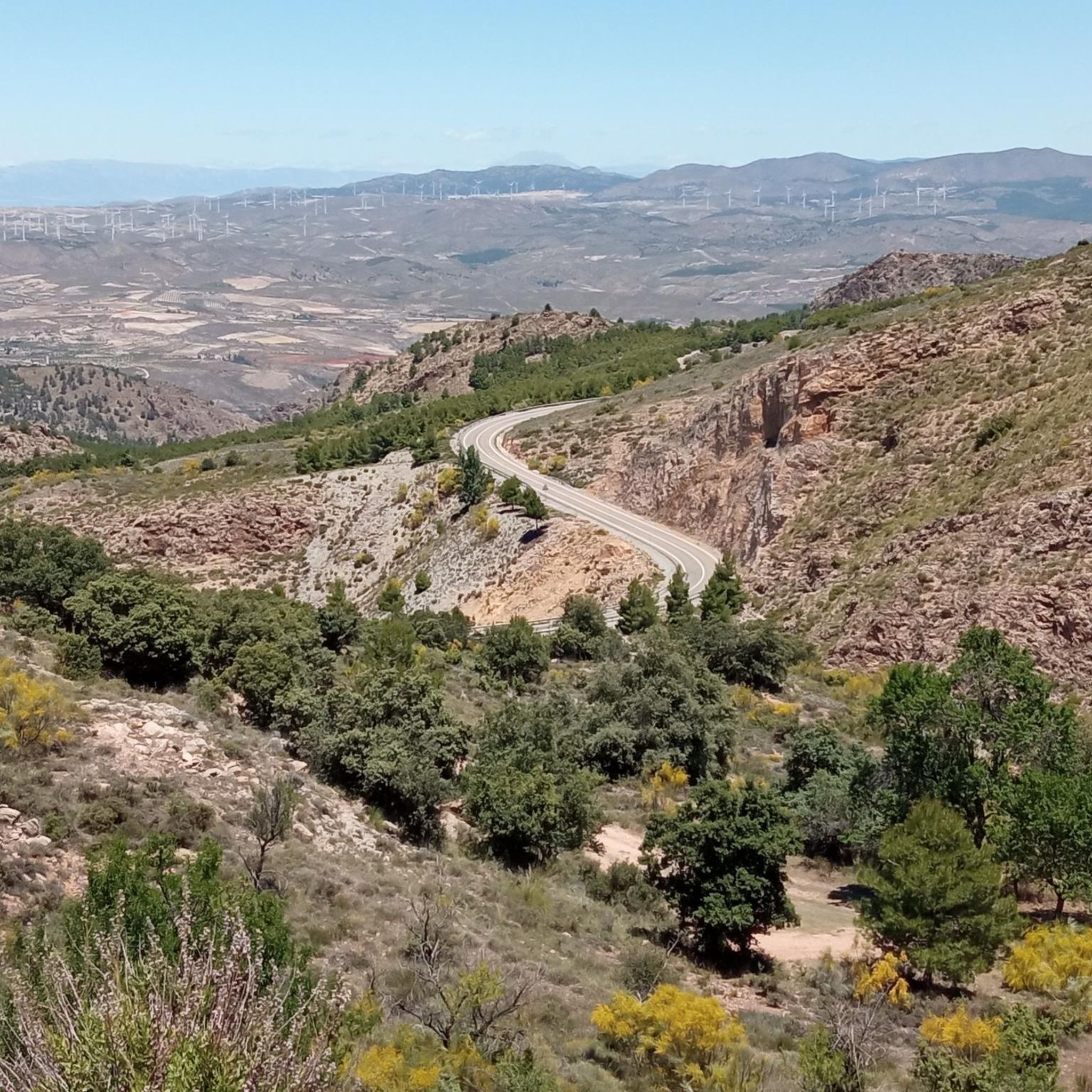
A spectacular route through the southeast of the peninsula between the highlands of Granada in the Baza area towards the Almendricos district, already in the Murcia region, and passes through the Almanzora Valley in Almería. A route that for decades crossed a railway line that transported tons of iron and other merchandise
1
0

Take plenty of water, there is none at the top.
0
0

The Cuatro Caminos pass is a strategic pass, it ends the important slopes and is key to keeping the route at the average altitude until the Caniles highway. The departure from the protected natural area of the mountain range is notable for the change in environment, there are traces of deforestation and the peaks of the mountain range look like plateaus reminiscent of other latitudes. In the background, the white spheres of the astronomical radars of Calar Alto finally appear, the ceiling of the cycle tour and the main challenge of the day. The route immediately leaves the road that goes down towards Escúllar and continues along the mountain range. The road surface is acceptable until the Loma de las Piedras de Ayala, the ground gets much worse and the slope is considerable, it is two uncomfortable kilometers to the natural viewpoint of the Piedras del Deseo, an inspiring name where there are some corrals and fantastic views of the Gulf of Almería, an arc bluish by the waves of the Mediterranean between Punta Entinas and Cabo de Gata. The track improves significantly, passing through the Pingarra hill and connecting with the road that goes up to Calar Alto. On the ditch there are signs for cyclists with the distance and percentage of the slope. The day we spent there was a blizzard, it was cloudy and we couldn't enjoy the views at all, a shame after the four long hours of climbing. Some souvenir photos, all the clothes on and at full speed to Bacares, a town that seems exiled in a wild and lonely corner of the Sierra de los Filabres, surrounded by ravines and mountains. Passing through the town is not obligatory, the main road passes through the detour, you can see the hamlet that is on the opposite slope and continue the descent towards Tíjola.
1
0
The stage ends in Serón, a mountain town famous for drying hams, sausages, traditional sweets, cheeses, oil and other products of local gastronomy. The old train station is the best example of mining railway architecture on the Vía Verde Natural Trail of the Almanzora Valley, it has the passenger lobby building, with the characteristic British-style canopy, remains of the rails, loading docks, warehouses goods, rotating platform for trains, mineral loading, water tanks and garages. And it also has a modern planetarium and Interpretation Center. Local services are a couple of kilometers away from the road.
0
0
Frequently Asked Questions
What kind of terrain can I expect on touring cycling routes around Tíjola?
Tíjola's touring cycling routes offer a diverse landscape, ranging from the challenging ascents of the Sierra de los Filabres and Sierra de las Estancias to the more gentle paths of the Almanzora Valley. You'll encounter ravines, pine forests, and agricultural fields, with routes often utilizing historical railway lines like the Vía Verde del Valle del Almanzora for a smoother experience, alongside more demanding mountain environments.
Are there touring cycling routes suitable for families in Tíjola?
Yes, Tíjola offers family-friendly touring cycling options, particularly along the Vía Verde del Valle del Almanzora. These routes, often utilizing old railway lines, provide a more accessible and picturesque experience. A great example is the Vía Verde del Valle del Almanzora - circular from Serón, which is a moderate 15 km path.
Can I find circular touring cycling routes in the Tíjola area?
Absolutely. Many touring cycling routes around Tíjola are designed as circular loops, allowing you to start and end in the same location. For instance, the Sierro and Almanzora Greenway Loop is a moderate 25 km circular route that takes you through scenic greenways.
What natural features or landmarks can I see while cycling around Tíjola?
The Tíjola region is rich in natural beauty. You can explore impressive gorges like La Cerrada de Valentín (La Cerrá) and El Estrecho de Urrácal. Don't miss the unique thermal spring of Balsa de Cela, known for its warm waters, or the intriguing Cueva de la Paloma. The Fuente del Huevo Waterfall is another serene spot to discover.
Are there any viewpoints along the cycling routes in Tíjola?
Yes, the mountainous terrain around Tíjola offers several stunning viewpoints. The Mirador de Piedra Lobera, situated at over 1,700 meters altitude, provides sweeping panoramic views across the provinces of Granada, Jaén, and Almería, making it a rewarding stop on more challenging routes.
What are the parking options for cyclists in Tíjola?
For cyclists looking to explore the Vía Verde, the Old Train Station of Tíjola serves as a convenient starting point and often has parking available. Additionally, many routes begin or pass through villages like Serón, where you can typically find parking facilities near the railway stations or town centers.
Is public transport available to Tíjola for cyclists?
While Tíjola is accessible by public transport, it's advisable to check with specific bus operators regarding their bicycle carriage policies. Services connecting to larger towns in the Almanzora Valley may offer options, but space for bikes can be limited, especially during peak times.
When is the best time of year for touring cycling in Tíjola?
The spring and autumn months are generally ideal for touring cycling in Tíjola. The weather is milder, making the challenging climbs more manageable and the scenic routes more enjoyable. Summers can be very hot, especially in the valley, while winters can bring colder temperatures to the higher mountain ranges.
Are touring cycling routes around Tíjola dog-friendly?
Many outdoor areas and trails around Tíjola are generally dog-friendly, especially the Vía Verde sections. However, it's always recommended to keep dogs on a leash, particularly in nature reserves or near livestock, and to carry water for them. Specific regulations may apply in certain protected areas, so check local signage.
How many touring cycling routes are available in Tíjola?
There are over 30 touring cycling routes available around Tíjola, catering to various skill levels. These include 11 moderate routes and 21 difficult routes, ensuring options for both casual riders and those seeking a significant challenge.
What do other touring cyclists enjoy the most about touring cycling in Tíjola?
The area is highly rated by the komoot community, with an average score of 4.9 stars. Reviewers often praise the diverse terrain, from the scenic greenways to the demanding mountain ascents, and the breathtaking natural beauty of the Almanzora Valley and surrounding mountain ranges. The well-maintained sections of the Vía Verde are also frequently highlighted as a favorite.
Are there any particularly challenging touring cycling routes in Tíjola?
Yes, Tíjola is known for its demanding climbs, especially routes heading towards Calar Alto. The Old Tíjola train Station – Serón Railway Station loop from Estación de Serón is a difficult 121.4 km route with over 3,200 meters of elevation gain, often taking around 9.5 hours to complete. Another challenging option is the Tíjola Train Station – Old Tíjola train Station loop from Tíjola, a 65.5 km route with significant climbing.
Most popular attractions around Tíjola

Get inspired with the komoot mobile app


Explore more
Browse the best Cycling routes in other regions.
