The best running trails around Tabanera La Luenga
34
runners
10
runs
Jogging around Tabanera La Luenga offers access to the diverse natural landscapes of the Segovia province. The region features varied terrain, including plains and river valleys, providing a range of options for runners. While specific jogging routes within Tabanera La Luenga itself are not extensively detailed, its location allows for exploration of nearby areas known for outdoor activities. The landscape is characterized by open fields and gentle elevations, suitable for different running preferences.
Best jogging routes around Tabanera La Luenga
- The most popular jogging route is Fuentes loop from Carbonero el Mayor, a 9.3 miles (15.0 km) trail that takes 1 hour 44 minutes to complete. This difficult route features a notable elevation gain of 650 feet (198 meters).
- Another top favourite among local runners is Running loop from Yanguas de Eresma, a moderate 6.4 miles (10.3 km) path. This route includes a total ascent of 436 feet (133 meters) and passes through open countryside.
- Local runners also love the Running loop from Mozoncillo, a 5.4 miles (8.7 km) trail leading through rural landscapes, often completed in about 1 hour 2 minutes.
- Jogging around Tabanera La Luenga is defined by open plains, gentle hills, and river paths, offering a mix of terrain. The network provides options for different ability levels, from moderate runs to more challenging trails.
- The guide includes highly-rated routes that showcase the best of the region's landscape. More than 34 runners have used komoot to explore Tabanera La Luenga's varied terrain.
Last updated: June 28, 2026
9
runners
10.8km
01:14
140m
140m
Moderate run. Good fitness required. Mostly paved surfaces. Suitable for all skill levels.
8
runners
15.2km
01:45
200m
200m
Hard run. Very good fitness required. Mostly paved surfaces. Suitable for all skill levels.

Sign up for free
5
runners
8.75km
00:56
50m
50m
Moderate run. Good fitness required. Mostly paved surfaces. Suitable for all skill levels.
3
runners
6.70km
00:42
20m
20m
Moderate run. Good fitness required. Mostly paved surfaces. Suitable for all skill levels.
3
runners
5.66km
00:35
10m
10m
Moderate run. Good fitness required. Mostly paved surfaces. Suitable for all skill levels.
Get access to more routes and recommendations from other explorers.
Sign up for free
Already have an account?
Our route recommendations are based on thousands of hikes, rides, and runs completed by other people on komoot.
Start today with a free account
Your next adventure awaits.
Login or Signup

Tips from the Community

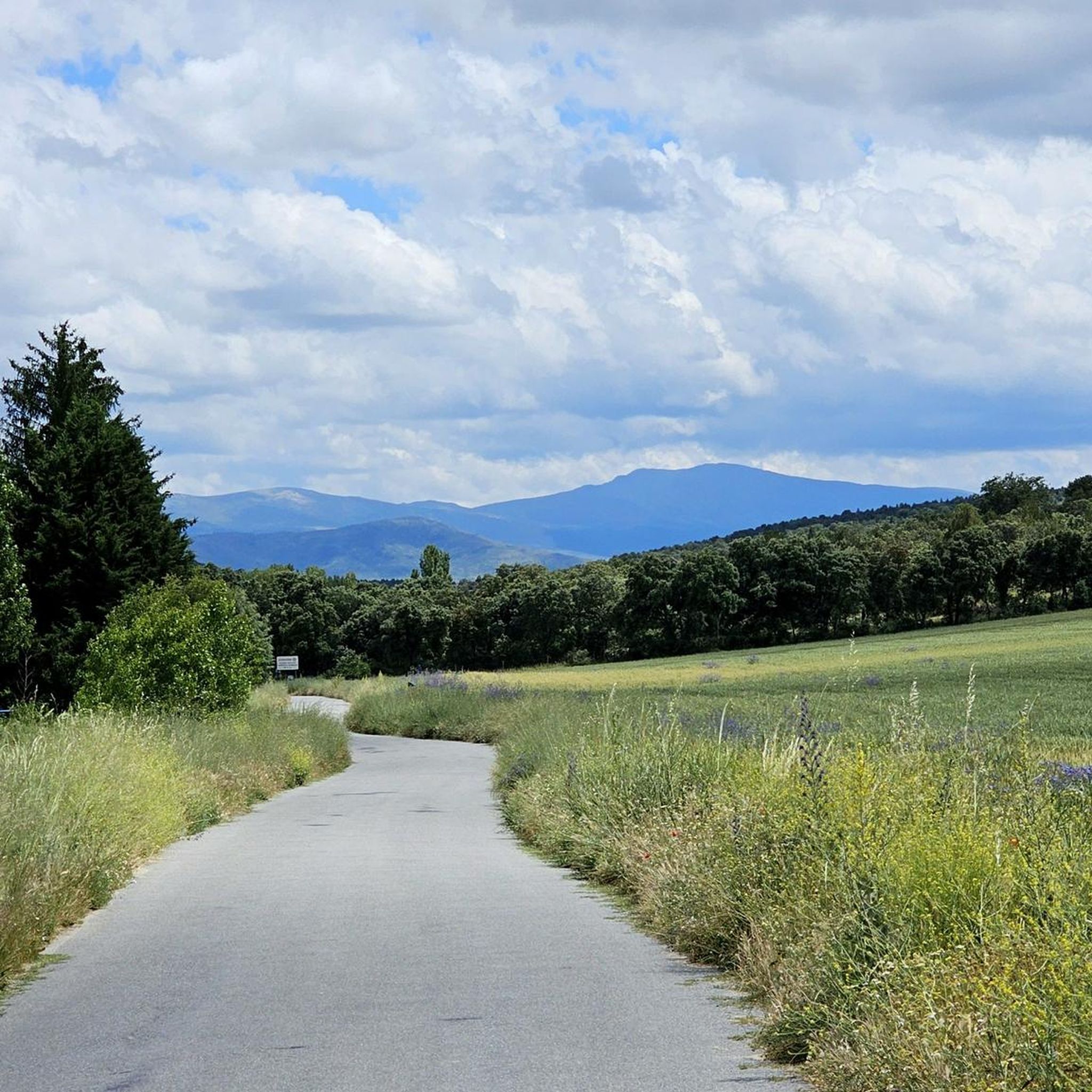
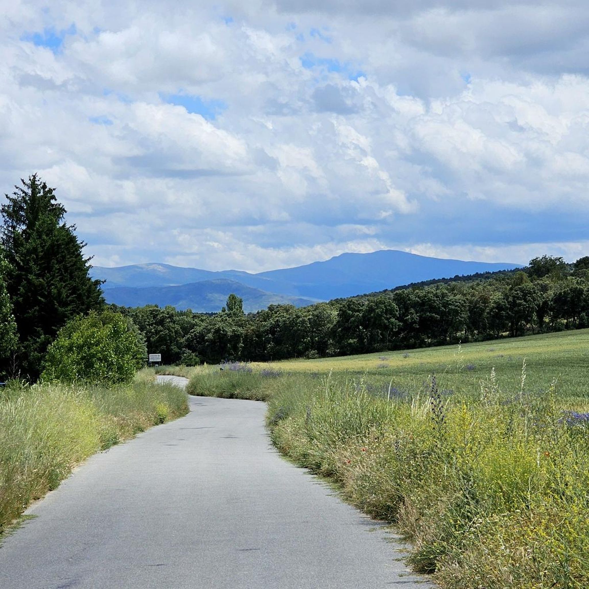
Carbonero el Mayor is a municipality and Spanish town in the province of Segovia, in the southern part of the autonomous community of Castilla y León. It appears cited in 1247 under the name Carbonero de Liedos; In 1587 it was mentioned as Carbonero la Mayor and in the 19th century it already appeared with its current name.
4
0

Carbonero el Mayor is a town located north of the city of Segovia, in the middle of the plain that goes from the Central System and the great plains of Valladolid.
1
0
Frequently Asked Questions
How many running routes are available around Tabanera La Luenga?
There are currently 7 distinct running routes available around Tabanera La Luenga on komoot. These routes offer a variety of experiences for different fitness levels.
What kind of terrain can I expect on the running trails near Tabanera La Luenga?
The running trails around Tabanera La Luenga are characterized by varied terrain, ranging from open plains and gentle hills to river paths. The wider Segovia province, where Tabanera La Luenga is located, also offers access to more challenging mountainous areas within the Sierra de Guadarrama National Park, providing options for both easy and more demanding runs.
Are there any challenging running routes for experienced runners?
Yes, for experienced runners seeking a challenge, the Fuentes loop from Carbonero el Mayor is a difficult route. It spans 9.3 miles (15.0 km) and features a notable elevation gain of 650 feet (198 meters), taking approximately 1 hour 44 minutes to complete.
Are there any easier or beginner-friendly jogging options?
While most routes are moderate, the Running loop from Escarabajosa de Cabezas is a shorter, moderate option at 5.6 miles (5.6 km) with minimal elevation gain, making it suitable for those looking for a less strenuous run. The region's open plains and gentle elevations generally offer accessible paths.
What are the typical distances for running trails around Tabanera La Luenga?
The running trails in this area vary in length. For instance, the Running loop from Mozoncillo is about 5.4 miles (8.7 km), while the Running loop from Yanguas de Eresma covers 6.4 miles (10.3 km). The longest route, the Fuentes loop from Carbonero el Mayor, is 9.3 miles (15.0 km).
Are there any circular running routes available?
Yes, many of the routes around Tabanera La Luenga are designed as loops, offering convenient circular running experiences. Examples include the Running loop from Yanguas de Eresma, the Running loop from Mozoncillo, and the Puente viejo loop from Mozoncillo.
Can I see any interesting landmarks or natural features while jogging?
While jogging, you might encounter historical sites and natural beauty. For example, near some routes, you can find the Ortigosa del Pestaño — Abandoned Railway Station or the Old Yanguas de Eresma Station. The wider Segovia region also boasts dramatic landscapes like the Hoces del Río Duratón Natural Park and the scenic Eresma River paths.
Are there running routes with scenic views?
The region around Tabanera La Luenga offers scenic views primarily characterized by open countryside, agricultural fields, and gentle elevations. The broader Segovia province, particularly areas closer to the Sierra de Guadarrama, provides more dramatic mountain vistas and pine forests for those willing to venture further.
Are the running trails around Tabanera La Luenga suitable for families?
The moderate difficulty and relatively gentle terrain of many routes, such as the Running loop from Escarabajosa de Cabezas, can be suitable for families looking for an outdoor activity. However, always consider the distance and elevation for younger children or those with varying fitness levels.
Can I bring my dog on the running trails?
Generally, many rural trails in Spain are dog-friendly, especially if dogs are kept on a leash. However, it's always advisable to check local regulations or specific park rules, particularly in protected natural areas like the Sierra de Guadarrama, to ensure dogs are permitted on the chosen route.
Is there parking available near the running routes?
As many of the routes start from villages like Carbonero el Mayor, Yanguas de Eresma, or Mozoncillo, you can typically find parking in or near these communities. Specific parking details for each trailhead are often available on the individual route pages on komoot.
What do other runners say about the trails in Tabanera La Luenga?
Over 34 runners have used komoot to explore the varied terrain around Tabanera La Luenga. Users often appreciate the open plains, gentle hills, and river paths that define the jogging experience, providing a mix of terrain suitable for different ability levels.
Most popular attractions around Tabanera La Luenga

Get inspired with the komoot mobile app


Explore more
Browse the best Running Trails & Routes in other regions.
