The best walks and hikes around Spalski Park Krajobrazowy
4.6
(60)
561
hikers
93
hikes
Hiking around Spalski Park Krajobrazowy is characterized by the picturesque Pilica River valley, featuring natural meanders, islands, and oxbow lakes. Extensive forests, often referred to as the Pilica Forest, cover a significant portion of the park, creating a unique microclimate. The terrain includes escarpment edges, particularly near Inowłódz, offering views over the valley. The park's landscape is a mix of pine, deciduous, and mixed forests, with remnants of old tree stands.
Best hiking trails around Spalski Park Krajobrazowy
- The most…
Last updated: July 4, 2026
4.8
(6)
7
hikers
5.73km
01:45
20m
20m
Hike an easy 3.6-mile (5.7 km) route through the Spała Reserve in Spała Landscape Park, featuring old-growth forests and the Pilica River va
18
hikers
2.39km
00:37
10m
10m
Easy hike. Great for any fitness level. Easily-accessible paths. Suitable for all skill levels.

Sign up for free
4.5
(2)
10
hikers
Moderate hike. Good fitness required. Easily-accessible paths. Suitable for all skill levels.
18
hikers
3.85km
01:00
20m
20m
Easy hike. Great for any fitness level. Easily-accessible paths. Suitable for all skill levels.
5.0
(1)
7
hikers
4.70km
01:12
20m
20m
Easy hike. Great for any fitness level. Easily-accessible paths. Suitable for all skill levels.
Get access to more routes and recommendations from other explorers.
Sign up for free
Already have an account?
Our route recommendations are based on thousands of hikes, rides, and runs completed by other people on komoot.
Start today with a free account
Your next adventure awaits.
Login or Signup

Tips from the Community

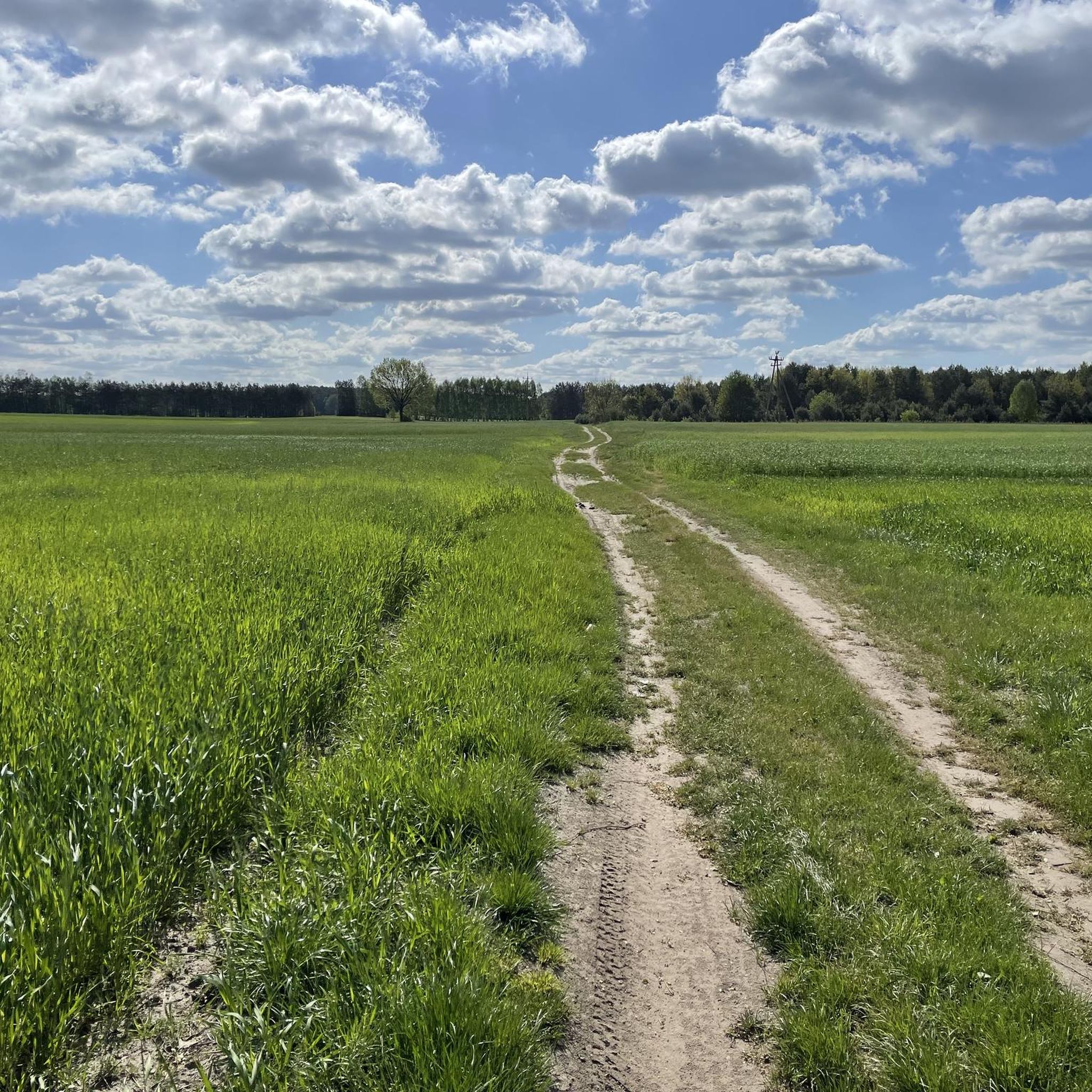
Gravel path connecting Spała with Inowłódz.
0
0

At the House of Remembrance of the Struggle and Martyrdom of Polish Foresters and Woodcutters stands the Forester's Monument. It may not be a joyful occasion to stop here, but it is important to remember those who gave their lives, shot and murdered by the Soviet and German occupiers, as well as all those who died during the war.
0
0
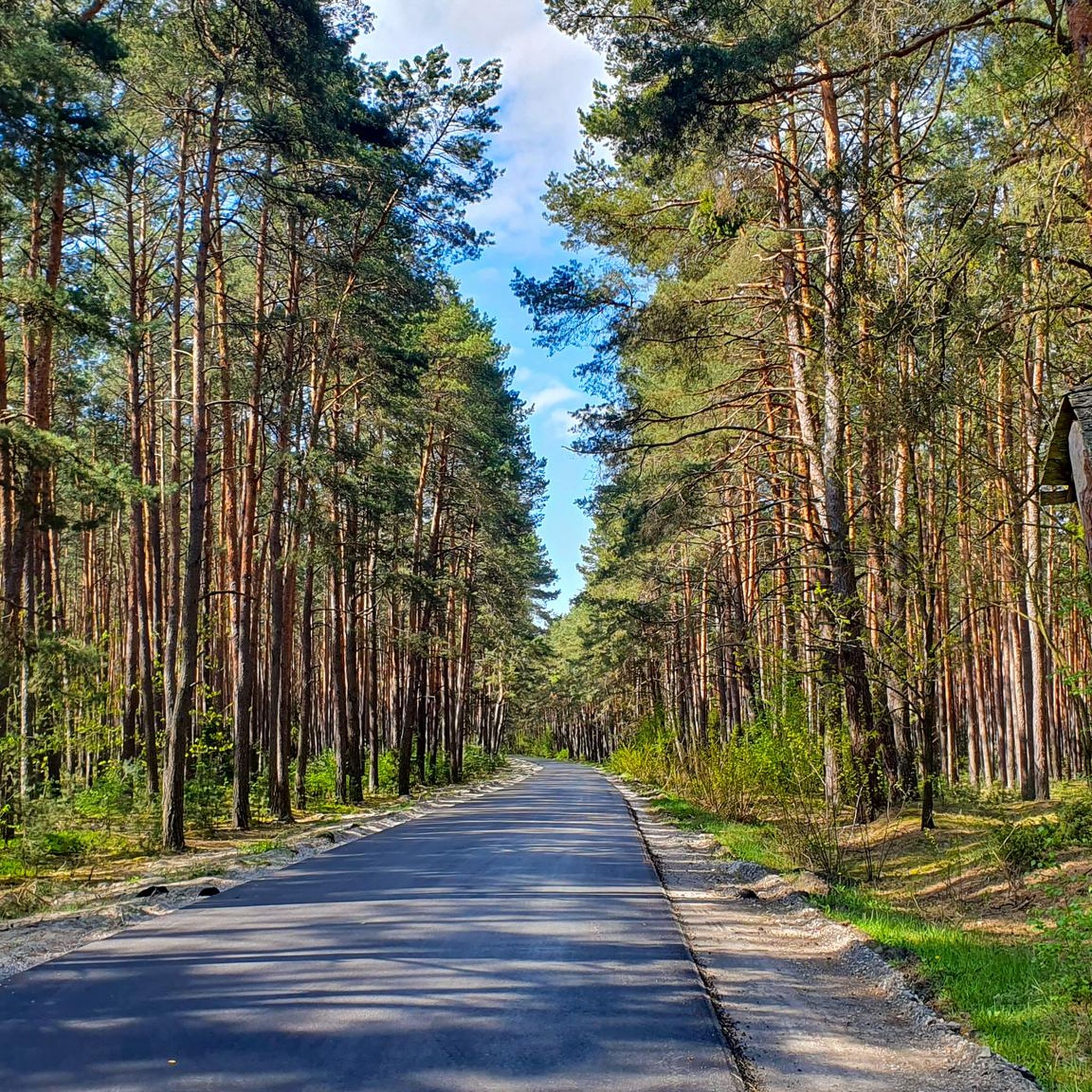
A surprisingly beautiful forest path along national road 48. The trees provide some protection from the sound of cars, and the walk is very pleasant. There is a parking space on the western side of this section, and it is also easy to get to the Pilica River by turning south using several paths along the way.
0
0
An unusual monument: an artificial cave built of boulders. It was created during hunting, when Tsar Alexander III had his residence in this area. Hence, on two of the boulders you will find the date 1894. There is also the date 1933 in honor of President Ignacy Mościcki, who tried to revive the tradition of St. Hubert. A separate boulder with the inscription Lord 1935 is in memory of Mościcki's favorite hunting dog.
0
0
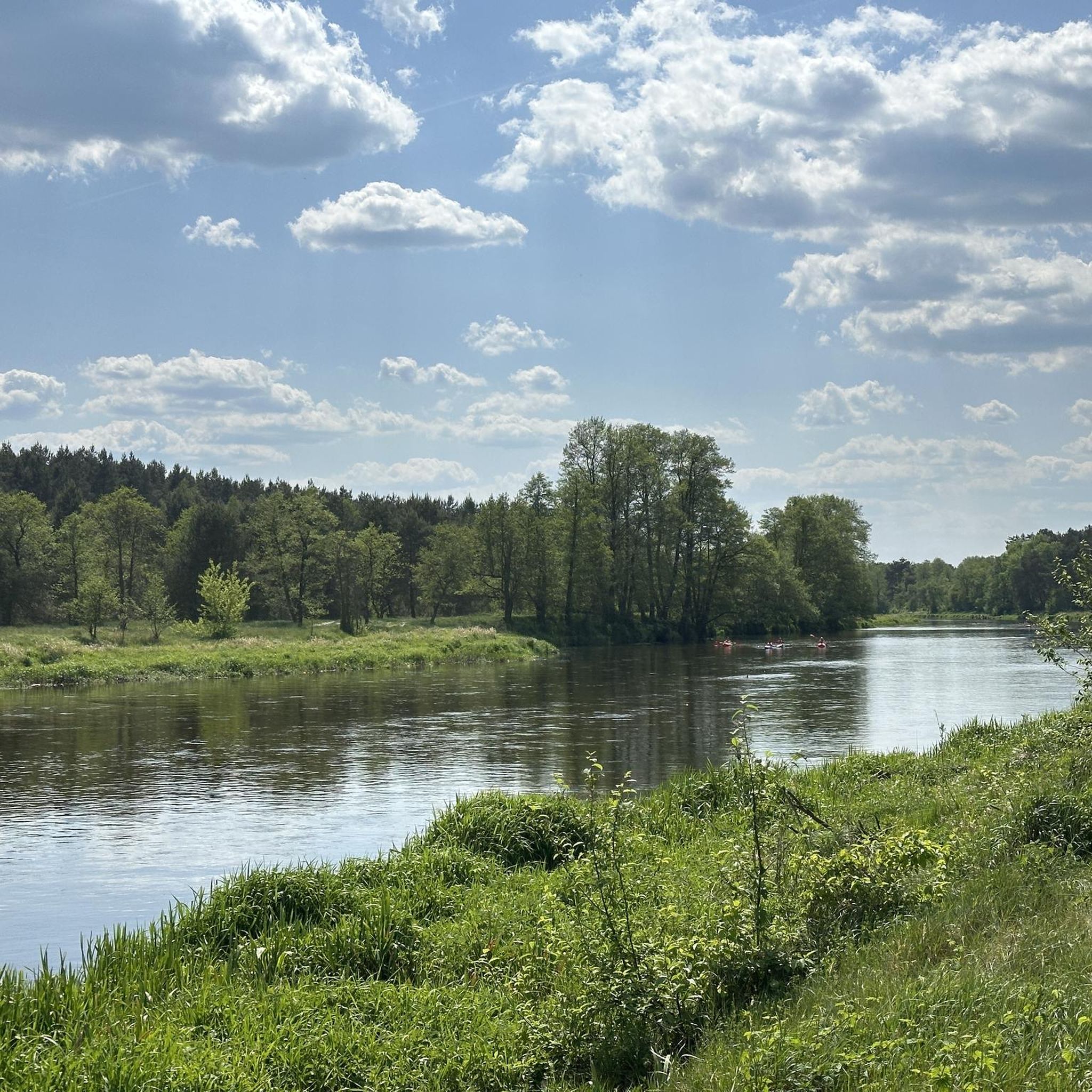
Well maintained shelter in a really beautiful spot, with trees looking down on the Pilica River. On a sunny day, the views are really beautiful, and the sun rays shine through the trees, creating additional aesthetic effects. A great place for a picnic. Plus, Hubert's Grotto is right next door!
0
0

The castle in Inowłodz was built on the initiative of King Casimir the Great. It guarded the Łęczyca Land and Lesser Poland against the Lithuanians and defended the crossing over the Pilica River. The castle is believed to have been built in the years 1356-66. It was built on an artificially raised hill surrounded by the Pilica oxbow lake and marshy meadows. Access to it was from the east from the city side. It was a typical lowland castle built on a rectangular plan with dimensions of 49 x 32 x 47 x 31 m. Local sandstone was used for construction. The original castle consisted of peripheral walls, an octagonal tower, a quadrangular tower and an L-shaped house. The whole was surrounded by a moat 20 m wide and 1.5 m deep. Thanks to a special ditch connecting it with the Pilica, it was constantly filled with water. The distance of the walls from the edge of the moat was on average 8 m. https://zamkiobronne.pl/zamek/inowlodz/
5
0

They look picturesque, worth seeing.
0
0
Ruins of a defensive castle built by King Casimir the Great.
0
0
Frequently Asked Questions
How many hiking trails are available in Spalski Park Krajobrazowy?
Spalski Park Krajobrazowy offers a wide selection of over 70 hiking trails, catering to various preferences and skill levels. You'll find a good mix of easy and moderate routes to explore the park's natural beauty.
What kind of terrain can I expect when hiking in Spalski Park Krajobrazowy?
The park's terrain is quite diverse, dominated by the picturesque Pilica River valley with its natural meanders, islands, and oxbow lakes. You'll also hike through extensive forests, often referred to as the Pilica Forest, and encounter escarpment edges, particularly near Inowłódz, which offer expansive views. The landscape includes pine, deciduous, and mixed forests.
Are there easy hiking options suitable for beginners or casual walkers?
Absolutely. The park features 44 easy trails, perfect for beginners or those looking for a relaxed walk. A great example is the Spała Reserve Loop, which is 3.6 miles (5.7 km) long and takes about 1 hour 45 minutes, leading through the protected Spała Reserve.
What are some interesting natural features or landmarks to see along the trails?
Hikers can discover several notable attractions. The Pilica River valley itself is a highlight with its natural meanders and oxbow lakes. You might also encounter the historic St. Hubert's Grotto, an artificial cave, or the Konewka WWII Military Train Bunker. The park also features remnants of old tree stands and diverse forest types.
Are there any circular hiking routes in Spalski Park Krajobrazowy?
Yes, many of the trails are designed as loops, offering convenient circular routes. For instance, the Spała – St. Hubert's Grotto loop from Spała is an easy 2.9 miles (4.7 km) path that takes you past the historic grotto and returns to your starting point.
Is Spalski Park Krajobrazowy suitable for family hikes?
Yes, the park is very family-friendly, especially with its numerous easy trails. The gentle terrain and well-marked paths make it ideal for walks with children. Many routes, like the Spała Reserve Loop, are short and offer interesting natural sights to keep younger hikers engaged.
Are dogs allowed on the hiking trails in Spalski Park Krajobrazowy?
Generally, dogs are welcome in Spalski Park Krajobrazowy, but they should always be kept on a leash to protect wildlife and ensure the safety of other visitors. It's always a good idea to check local signage for any specific restrictions in certain protected areas or nature reserves within the park.
What do other hikers enjoy most about hiking in Spalski Park Krajobrazowy?
The area is highly rated by the komoot community, with an average score of 4.7 stars from over 10 reviews. Hikers often praise the peaceful atmosphere of the extensive forests, the picturesque Pilica River valley, and the well-maintained trails that offer a pleasant outdoor experience.
Are there any longer or more challenging routes for experienced hikers?
While the park is known for its accessible trails, there are 26 moderate routes for those seeking a longer hike. An example is the Spała – St. Giles' Church in Inowłódz loop from Spała, a 10.1 miles (16.3 km) trail that takes about 4 hours 11 minutes, offering varied forest and river landscapes.
What is the best time of year to go hiking in Spalski Park Krajobrazowy?
Spalski Park Krajobrazowy is beautiful throughout the year. Spring brings lush greenery and blooming flora, while autumn offers stunning fall colors in the extensive forests. Summer is ideal for enjoying the Pilica River, and even winter hikes can be magical with snow-covered landscapes, though some paths might be less accessible.
Is there parking available for hikers in Spalski Park Krajobrazowy?
Yes, there are designated parking areas at various entry points and trailheads within and around Spalski Park Krajobrazowy, particularly near popular starting points like Spała. These facilities are generally well-marked to accommodate visitors.
Can I reach Spalski Park Krajobrazowy using public transport?
While direct public transport options might be limited to some parts of the park, it is generally accessible by bus services to nearby towns like Spała or Inowłódz. From these points, you can often access trails or arrange for local transport to reach specific trailheads. Checking local bus schedules in advance is recommended.
Most popular routes around Spalski Park Krajobrazowy
Most popular attractions around Spalski Park Krajobrazowy

Get inspired with the komoot mobile app


Explore more
Browse the best Hikes in other regions.
