The best walks and hikes around Torreiglesias
4.6
(17)
130
hikers
26
hikes
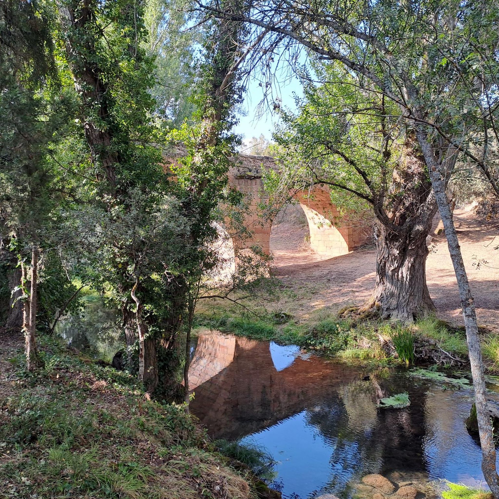
Hiking around Torreiglesias offers diverse landscapes and natural features within the Province of Segovia. The region provides varied terrain suitable for walks and hikes, often incorporating historical and cultural attractions. Trails may pass through rural areas, connecting sites such as the Romanesque Church of Nuestra Señora de la Asunción, the hermitage of Santo Cristo del Humilladero, and the Roman bridge of Covatillas.
Best hiking trails around Torreiglesias
- The most popular hiking route is Cueva de la Vaquera (sur) – Cueva…
Last updated: August 25, 2026
4.7
(3)
16
hikers
Moderate hike. Good fitness required. Mostly accessible paths. Sure-footedness required.
4.7
(3)
10
hikers
Moderate hike. Good fitness required. Easily-accessible paths. Suitable for all skill levels.

Sign up for free
5.0
(2)
21
hikers
8.96km
02:29
90m
90m
Moderate hike. Good fitness required. Mostly accessible paths. Sure-footedness required.
7
hikers
19.4km
06:26
750m
740m
Hard hike. Very good fitness required. Mostly accessible paths. Sure-footedness required.
4.0
(1)
2
hikers
15.5km
04:13
220m
220m
Moderate hike. Good fitness required. Easily-accessible paths. Suitable for all skill levels.
Get access to more routes and recommendations from other explorers.
Sign up for free
Already have an account?
Our route recommendations are based on thousands of hikes, rides, and runs completed by other people on komoot.
Start today with a free account
Your next adventure awaits.
Login or Signup


Tips from the Community

Mountain pass between Segovia and Madrid.
0
0

The Malagosto Pass or Malangosto Pass is a mountain pass located in the Guadarrama Mountains, inland on the Iberian Peninsula. The route that crosses it connects the Spanish provinces of Segovia and Madrid. It is located between the Reventón and Navafría mountain passes. The Malagosto Pass, located at an altitude of 1,928 m above sea level, separates the provinces of Segovia and Madrid.
0
0

These are the ruins of the old Alfaro shearing and washing area. This 18th century industrial complex for processing wool is strategically located very close to the Cañada Real Soriana, at the foot of the northern slope of the Sierra de Guadarrama.
0
0

Small hermitage that is located before the town of Peñarrubias de Pirón and is located where the Río Pirón flows. The views of the area are spectacular and on clear days, you can see the entire Sierra de Guadarrama.
0
0

Frequently Asked Questions
How many hiking trails are available around Torreiglesias?
There are over 20 hiking trails around Torreiglesias, offering a variety of options for different skill levels. These routes are highly rated by the komoot community, with an average score of 4.8 stars.
What kind of terrain can I expect on the hiking trails in Torreiglesias?
Hiking around Torreiglesias offers diverse landscapes, from rural paths to varied terrain with notable elevation changes. The region's proximity to areas like the Sierra de Guadarrama suggests a mix of natural beauty, including potential for high-mountain experiences and scenic views.
Are there easy hiking trails suitable for beginners in Torreiglesias?
Yes, Torreiglesias offers several easy hiking options. For example, the Cueva de la Vaquera (sur) – Casa de Condesa loop from Peñarrubias de Pirón is an easy 4.4-mile (7.0 km) path with minimal elevation changes, perfect for a shorter outing. Another easy option is the Sotosalbos loop from Sotosalbos, which is 4.3 miles (6.8 km) long.
Are there any challenging hikes for experienced trekkers?
For those seeking a more challenging experience, the Malangosto Pass – Malangosto Cross loop from Sotosalbos is a 12.0-mile (19.3 km) trail with significant elevation gain, often taking over 6 hours to complete. This route leads through varied and demanding terrain.
What historical or natural landmarks can I see while hiking in Torreiglesias?
Many trails in Torreiglesias integrate the region's rich cultural heritage. You might encounter historical sites such as the Romanesque Church of Nuestra Señora de la Asunción, the hermitage of Santo Cristo del Humilladero, or the Roman bridge of Covatillas. Nearby attractions include Turégano Castle and the Ruins of the Alfaro Shearing and Wool-Washing House.
Are there any circular hiking routes in Torreiglesias?
Yes, many of the trails around Torreiglesias are designed as loops, offering convenient circular routes. Examples include the Cueva de la Vaquera (sur) – Cueva de los Pedrones loop from Peñarrubias de Pirón, a moderate 7.4-mile (11.8 km) trail, and the Cueva de la Vaquera (sur) – Casa de Condesa loop from Cabañas de Polendos, which is a moderate 9.6-mile (15.5 km) route.
When is the best time of year to hike in Torreiglesias?
Given the diverse landscapes, including potential for high-mountain experiences, spring and autumn generally offer the most pleasant hiking conditions with mild temperatures and vibrant scenery. Summer can be warm, while winter might bring colder temperatures, especially at higher elevations.
Are the hiking trails in Torreiglesias suitable for families?
Yes, there are family-friendly options available. The easier, shorter loop trails with minimal elevation changes are ideal for families with children. Always check the specific route details for distance and difficulty to ensure it matches your family's capabilities.
Can I hike with my dog on the trails around Torreiglesias?
Generally, many outdoor areas in Spain are dog-friendly, especially on rural paths. However, it's always advisable to keep your dog on a leash, especially near livestock or in protected natural areas. Check local signage for any specific restrictions on individual trails.
Are there any waterfalls or significant natural features to discover?
While specific waterfalls within Torreiglesias itself are not detailed, the broader Segovia region, particularly areas like the Sierra de Guadarrama, is known for natural features such as the Chorro de Navafría waterfall. Hikers in Torreiglesias can expect diverse natural landscapes, including varied terrain and scenic views.
What do other hikers enjoy most about the trails in Torreiglesias?
The komoot community highly rates the trails in Torreiglesias, with an average score of 4.8 stars. Hikers often praise the region's diverse landscapes, the integration of historical landmarks into the routes, and the variety of options available for different skill levels.
Most popular attractions around Torreiglesias

Get inspired with the komoot mobile app


Explore more
Browse the best Hikes in other regions.
