The best cycling routes around Turégano
5.0
(4)
194
riders
19
rides
Touring cycling around Turégano offers routes through diverse landscapes in the province of Segovia, Castile and León. The region features extensive pine forests, rolling hills, and mountain passes, providing varied terrain for cyclists. It is also characterized by its proximity to the Hoces del Río Duratón Natural Park, known for deep gorges carved by the Duratón River and limestone cliffs. Routes often include significant elevation changes, traversing both open countryside and forested areas.
Best touring cycling routes around Turégano
- The…
Last updated: July 2, 2026
37
riders
133km
09:00
2,200m
2,200m
Hard bike ride. Very good fitness required. Mostly paved surfaces. Suitable for all skill levels.
12
riders
20.3km
01:35
570m
570m
Hard bike ride. Very good fitness required. Mostly paved surfaces. Suitable for all skill levels.

Sign up for free
9
riders
53.5km
04:33
680m
680m
Hard bike ride. Very good fitness required. You may need to push your bike for some segments of this route.
5.0
(1)
11
riders
43.5km
03:18
520m
520m
Hard bike ride. Very good fitness required. You may need to push your bike for some segments of this route.
9
riders
29.1km
02:54
720m
720m
Hard bike ride. Very good fitness required. Mostly paved surfaces. Suitable for all skill levels.
Get access to more routes and recommendations from other explorers.
Sign up for free
Already have an account?
Our route recommendations are based on thousands of hikes, rides, and runs completed by other people on komoot.
Start today with a free account
Your next adventure awaits.
Login or Signup
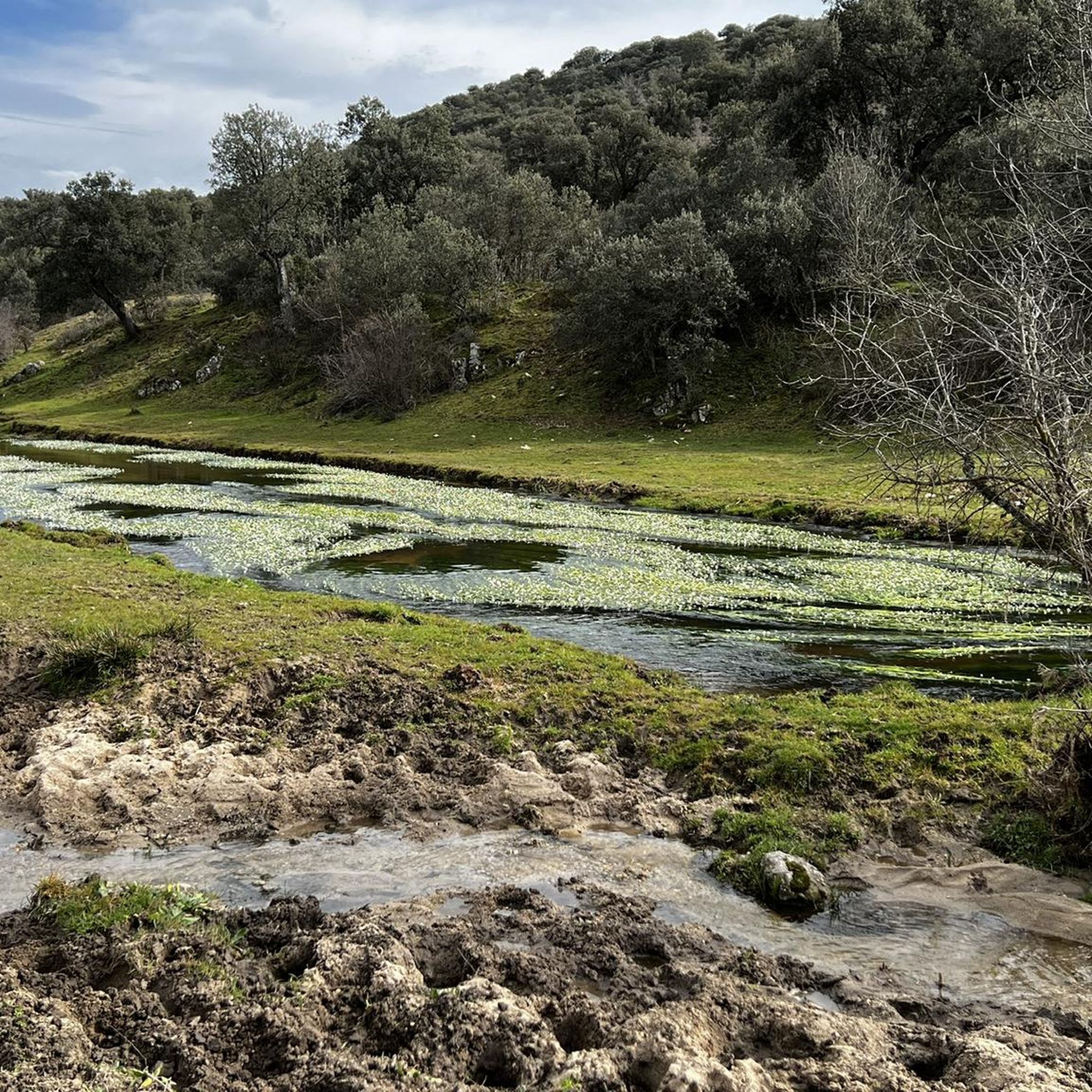
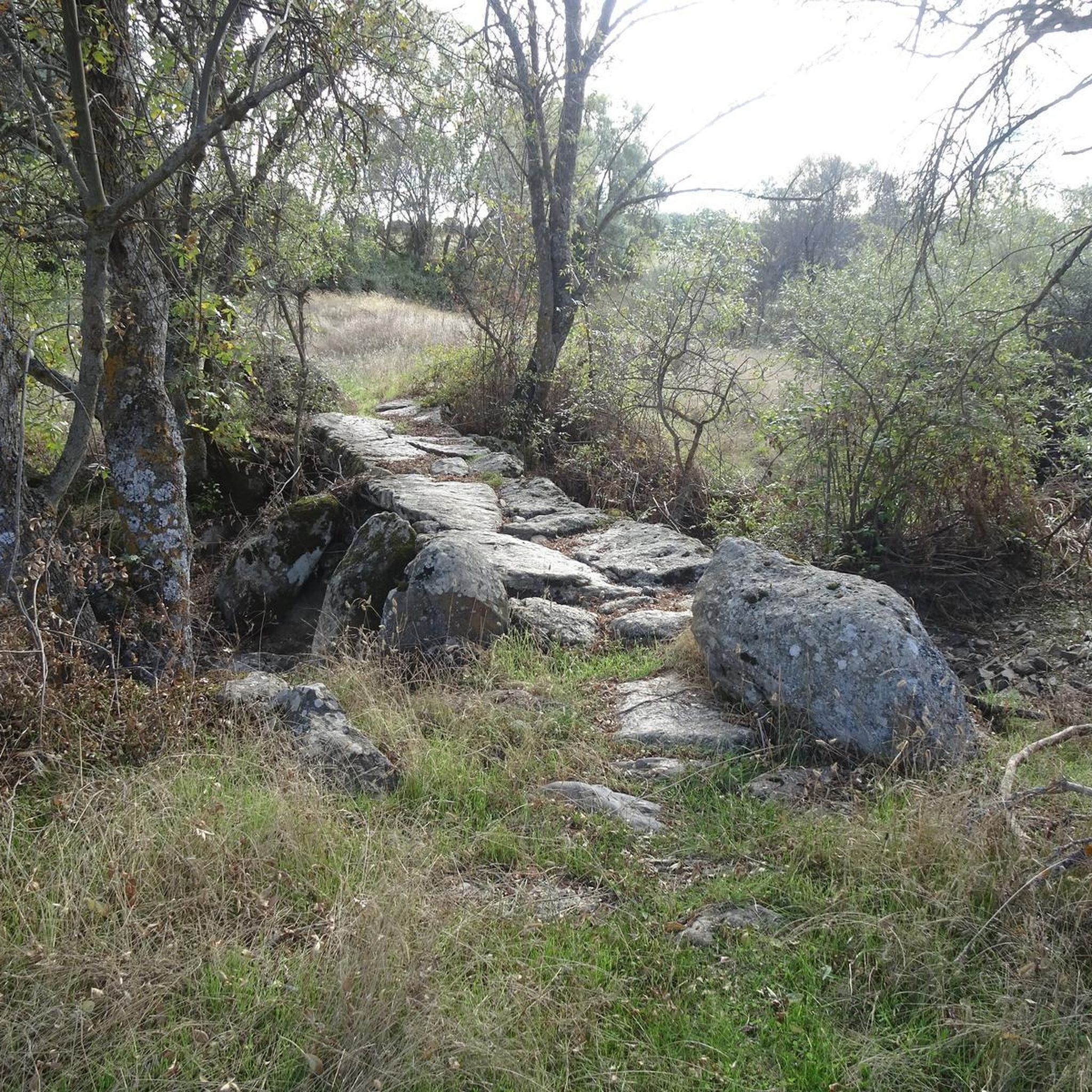
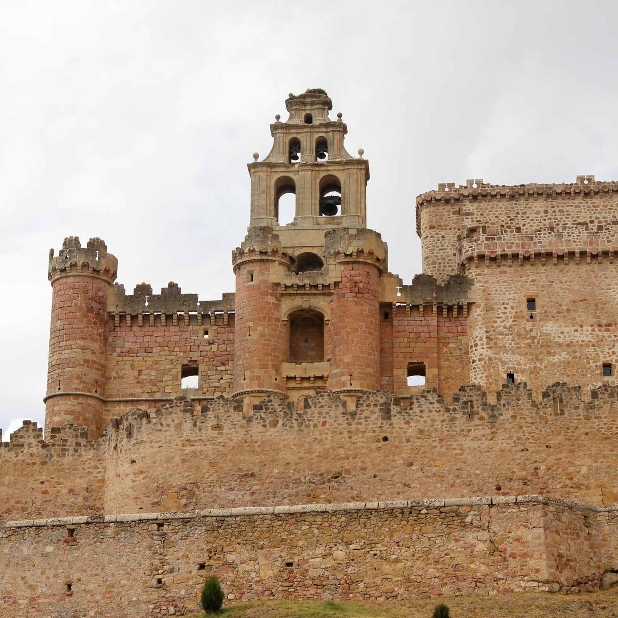
Tips from the Community

The name comes from the stone boundary markers erected in the 18th century to demarcate lands acquired by Charles III for hunting. During the Spanish Civil War, it was a strategic area with a Republican detachment stationed there. It formerly housed the Valcotos ski resort, which no longer exists.
1
0

There's a fountain as you reach the top on the right. Follow the cobblestone path.
0
1

start of the route to the peak of the snowfield
0
0

Natural passage between Madrid and Segovia in La Sierra de Guadarrama. Nature in vein!
0
0

The Port of Navafría is one of the entrances to the famous Horizontal runway that connects this port with the historic port of Somosierra. The Port of Navafría is located between the municipalities of Lozoya and Navafría. With its 1,773 meters above sea level, it is considered a first-class port in the “Cycling Tour of Spain”. This natural area is made up of a lush oak forest in the lower part and a beautiful pine forest in the upper part.
0
0

Very well-kept town, its church is worth visiting, a jewel of Castilian Romanesque.
1
0
The port of Cotosa or Puerto del Paular is a mountain pass in the Guadarrama mountain range, which separates the Spanish provinces of Segovia and Madrid. It is located at 1830 m altitude. It separates the valleys of Valsaín, to the west, and Lozoya, to the east. It also separates the Peñalara massif, to the north, and the Cuerda Larga mountain range, to the south. It receives the name "Los Cotos" because of the small stone posts, called cotos, that existed until the 20th century to indicate the path that crossed it when the snow covered it.
1
0

Nice port, little traffic and lots of shade
0
0
Frequently Asked Questions
How many touring cycling routes are available in Turégano?
There are 16 touring cycling routes around Turégano, offering a variety of experiences. The network includes 6 moderate and 10 difficult options, catering primarily to experienced cyclists.
Are there any easy touring cycling routes suitable for beginners in Turégano?
While there are no routes specifically graded as 'easy' in Turégano, there are 6 moderate options that might be suitable for cyclists with some experience. These routes still feature varied terrain and elevation changes, so a good fitness level is recommended.
What kind of terrain can I expect on touring cycling routes in Turégano?
The region is characterized by rolling hills, significant mountain passes, and scenic reservoir views. You'll traverse both open countryside and forested areas, often encountering substantial elevation changes that make for challenging rides.
Are there any long-distance touring cycling routes in the area?
Yes, for those seeking a longer challenge, the Cotos Pass – Monastery of El Paular loop from Sotosalbos is a notable option. This difficult route spans 82.8 miles (133.3 km) and features substantial climbs through mountain passes.
What do other touring cyclists say about the routes in Turégano?
The touring cycling routes in Turégano are highly rated by the komoot community, with an average score of 5.0 stars from over 3 reviews. More than 180 touring cyclists have used komoot to explore the varied terrain, often praising the challenging climbs and scenic beauty.
Are there any circular touring cycling routes in Turégano?
Many of the routes in Turégano are designed as loops, allowing you to start and finish in the same location. For example, the Navafría Pass – Puerto de Navafría loop from Navafría is a difficult 12.6-mile (20.3 km) circular path that includes a notable mountain pass.
What are some scenic viewpoints or natural attractions along the touring cycling routes?
You can find several scenic spots and natural attractions. The Sotosalbos – Pirón Reservoir loop from Collado Hermoso offers views of the Pirón Reservoir. Other notable viewpoints in the wider region include Mirador de los Castillejos and Castillejo Bajero Viewpoint.
Are there any routes that pass by reservoirs or lakes?
Yes, several routes offer views of the region's water bodies. The Pontón Alto Dam – Pontón Alto Dam loop from Basardilla is a difficult 43.4 km route that takes you around the dam. You can also find the Cantalejo Lagoons in the vicinity.
What is a good time of year to go touring cycling in Turégano?
The best time for touring cycling in Turégano is generally during spring and autumn when temperatures are milder and the natural scenery is vibrant. Summer can be quite hot, especially on routes with less shade, while winter may bring colder temperatures and potential for snow in higher mountain passes.
Are there any challenging routes for experienced touring cyclists?
Turégano is well-suited for experienced cyclists, with 10 of the 16 available routes graded as difficult. The region's mountain passes and significant elevation gains provide ample challenge. An example is the Sotosalbos – Peña Buitres loop from La Salceda, a 33.2-mile (53.5 km) trail with considerable elevation gain.
Most popular attractions around Turégano

Get inspired with the komoot mobile app


Explore more
Browse the best Cycling routes in other regions.
