The best road cycling routes around Aguilar De Codés
4.9
(9)
1,155
riders
26
rides
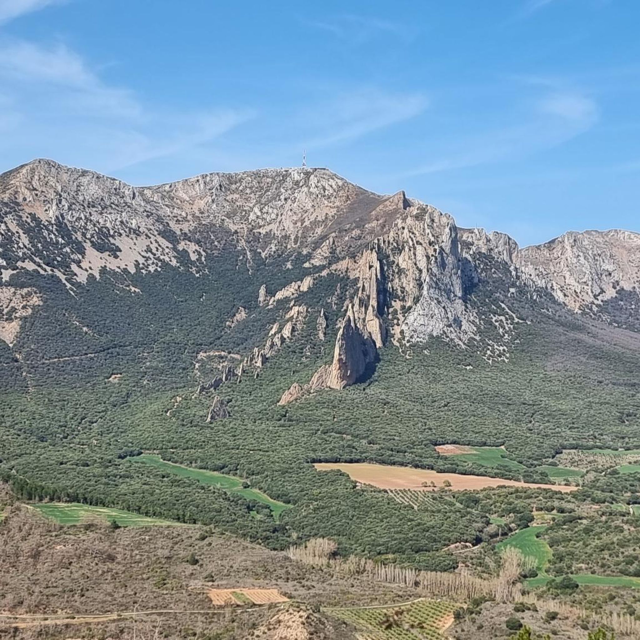
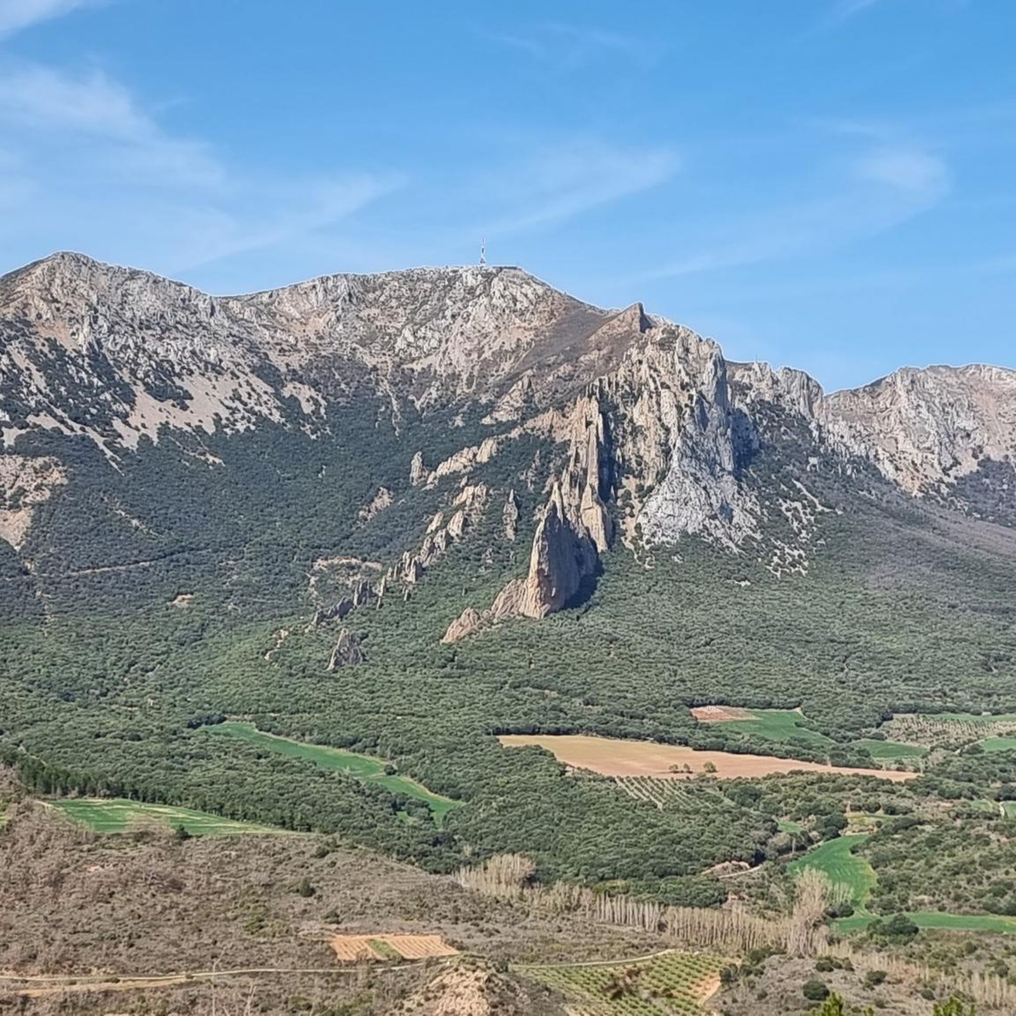
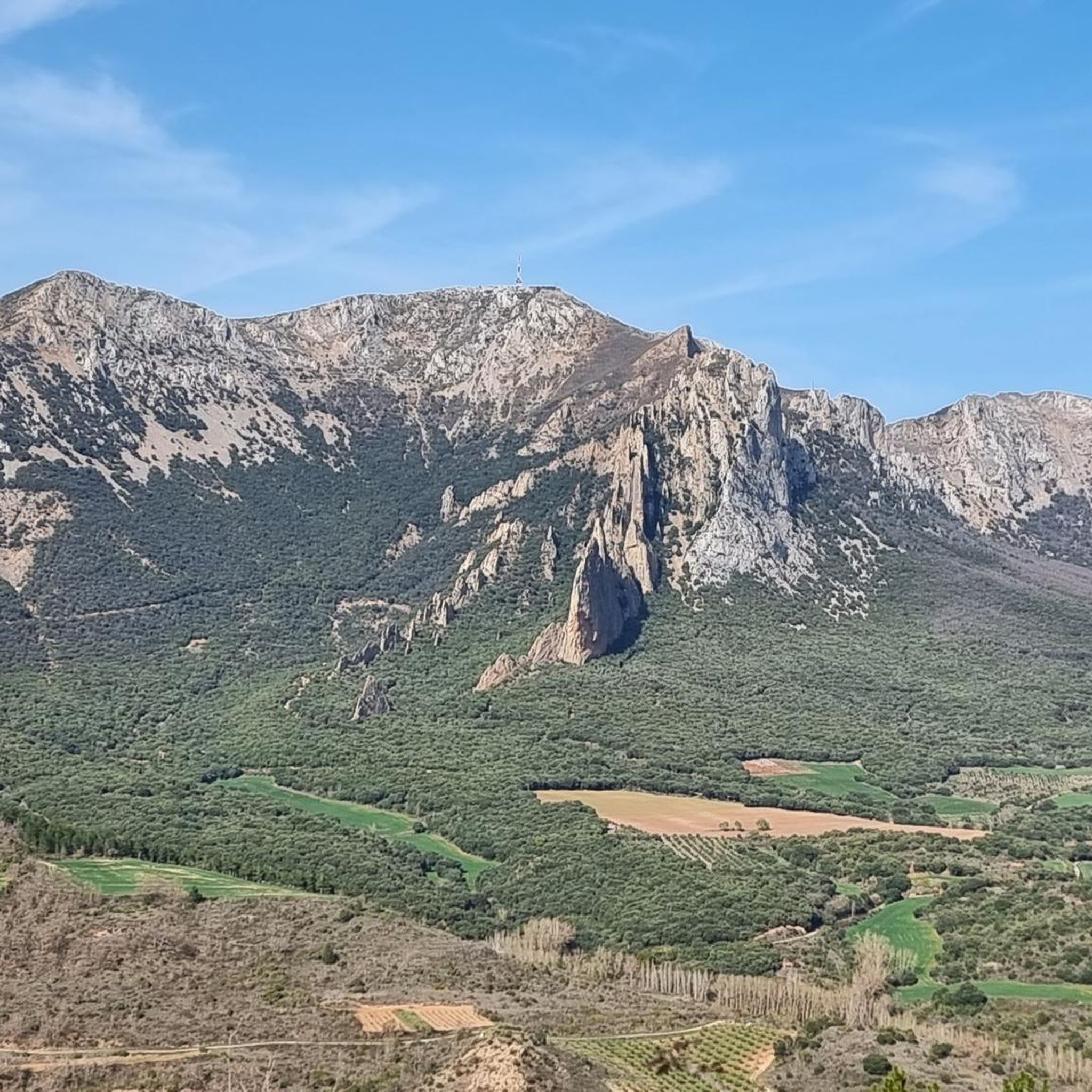
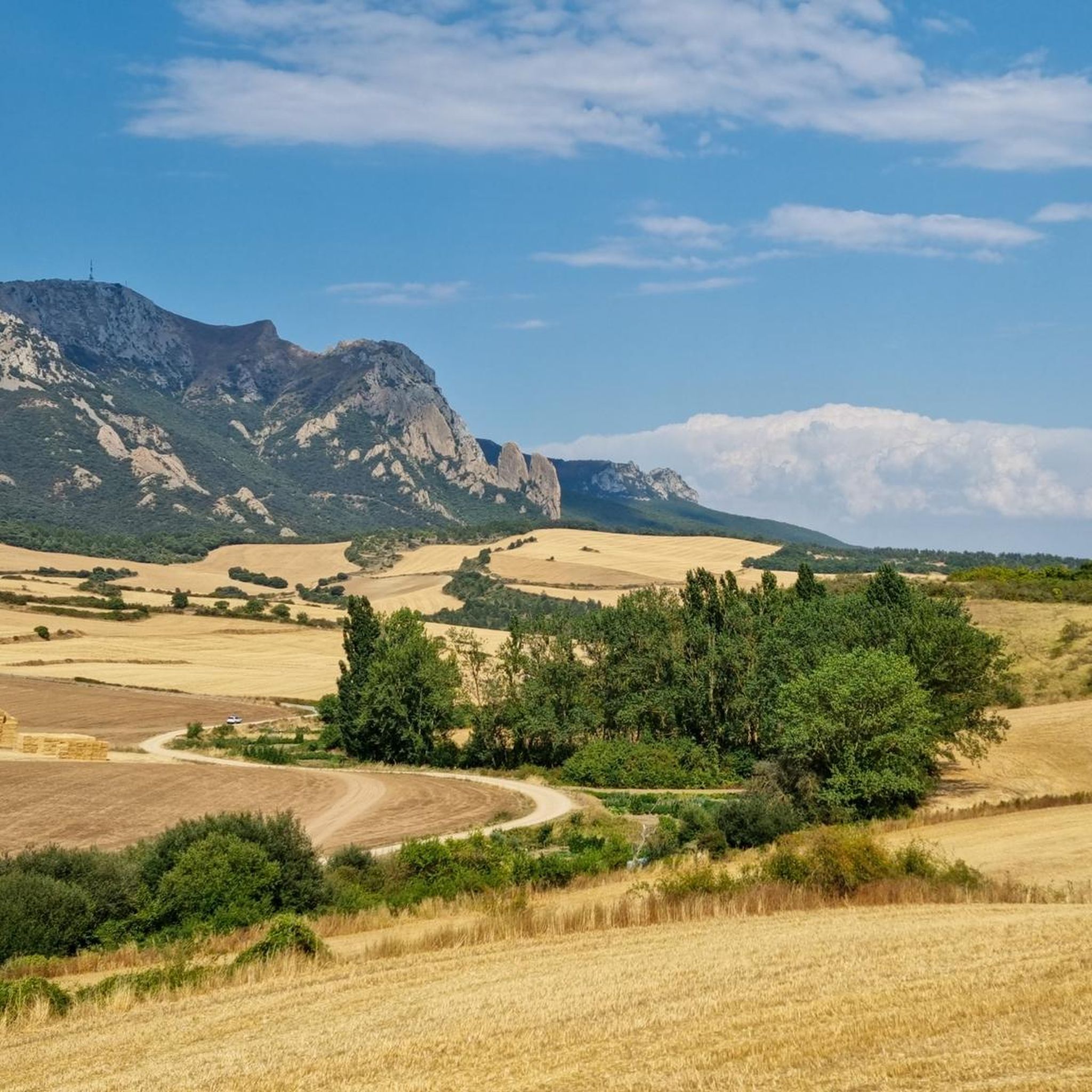
Road cycling routes around Aguilar De Codés are set within the diverse landscapes of western Navarre, Spain, offering varied terrain for cyclists. The region is characterized by mountainous sections of the Sierra de Codés, featuring significant climbs and descents. Cyclists can expect routes traversing green valleys, rolling hills, and dense forests, providing a dynamic experience. This area is well-suited for road cycling, with options ranging from challenging ascents to scenic rides through natural environments.
Best road cycling routes around Aguilar De Codés
- The most popular road cycling route is Irache Fountain – Plaza de San Martín loop from Santa Cruz de Campezo / Santikurutze Kanpezu, a 39.7 miles (63.8 km) trail that takes 2 hours 51 minutes to complete. This moderate route features a steady elevation gain through the Navarrese countryside.
- Another top favourite among local road cyclists is Alto de Iturrieta (990 m) – Opakua Pass loop from Santa Cruz de Campezo / Santikurutze Kanpezu, a difficult 40.4 miles (65.0 km) path. This route includes substantial climbing, reaching the Alto de Iturrieta and Opakua Pass, offering panoramic views.
- Local road cyclists also love the Laguardia – Puerto de Herrera loop from Santa Cruz de Campezo / Santikurutze Kanpezu, a 64.9 miles (104.4 km) trail leading through varied terrain and vineyards, often completed in about 5 hours 10 minutes.
- Road cycling around Aguilar De Codés is defined by mountainous terrain, rolling hills, and picturesque vineyards. The network offers options for different ability levels, from moderate rides to challenging climbs with significant elevation gain.
- The routes in Aguilar De Codés are highly rated by the komoot community with an average score of 4.8 stars from more than 5 reviews. More than 1,000 road cyclists have used komoot to explore Aguilar De Codés's varied terrain.
Last updated: June 28, 2026
72
riders
Moderate road ride. Good fitness required. Mostly well-paved surfaces and easy to ride.
28
riders
Hard road ride. Very good fitness required. Mostly well-paved surfaces and easy to ride.

Sign up for free
38
riders
104km
05:10
1,660m
1,660m
Hard road ride. Very good fitness required. Mostly well-paved surfaces and easy to ride.
5.0
(1)
37
riders
32.6km
01:46
610m
610m
Moderate road ride. Good fitness required. Mostly well-paved surfaces and easy to ride.
25
riders
Moderate road ride. Good fitness required. Some segments of this route may be unpaved and difficult to ride.
Get access to more routes and recommendations from other explorers.
Sign up for free
Already have an account?
Our route recommendations are based on thousands of hikes, rides, and runs completed by other people on komoot.
Start today with a free account
Your next adventure awaits.
Login or Signup

Tips from the Community

Good products for a good recovery. halfway through the route 🔝🔝🔝
0
0
One of the toughest, if not the toughest, mountain passes in Álava. Cantabrian Mountains. Natural border with La Rioja.
1
0

The Church of San Vicente de Arana, located in the small town of the same name in the Álava Mountains, combines Gothic and Renaissance elements, the result of 16th-century renovations. Its Greek cross floor plan, octagonal apse, and star vaults give it a majestic appearance despite its modest size. Notable features include the portal decorated with geometric motifs and the unique double altar. Inside, one can see a simple baptismal font and 16th-century sculptures.
1
0
The best organic buns and breads. The best recovery
2
0

Before reaching Iturrieta, a detour to the Hermitage of Santa Teodosia is highly recommended.
0
0

Beautiful hermitage near Bitigarra.
1
0
Alava mountains. Road from Lagran with good climbs, shade and good asphalt.
2
0

Frequently Asked Questions
How many road cycling routes are available around Aguilar De Codés?
There are over 35 road cycling routes around Aguilar De Codés, offering a variety of experiences for different skill levels. These include 17 moderate and 17 difficult routes, ensuring options for both casual riders and experienced cyclists.
What kind of terrain can I expect on road cycling routes around Aguilar De Codés?
The region around Aguilar De Codés, nestled in the Sierra de Codés, offers diverse terrain. You can expect mountainous sections with significant climbs and descents, rolling hills, green valleys, and picturesque vineyards. The landscape transitions from dense forests to open vistas, providing a dynamic cycling experience.
Are there challenging climbs for experienced road cyclists in the area?
Yes, the Sierra de Codés and the broader Navarre region are known for challenging climbs. There are numerous ascents, with peaks like Ioar (1,418 meters) and Kodes (1,414 meters) providing significant elevation gains. Routes like the Alto de Iturrieta (990 m) – Opakua Pass loop from Santa Cruz de Campezo / Santikurutze Kanpezu feature substantial climbing, reaching high points and offering panoramic views.
What are some scenic points of interest or landmarks I can see along the routes?
Road cycling routes around Aguilar De Codés often pass by various natural and historical landmarks. You might encounter natural monuments such as the Sleeping Lion Peak (Lapoblación Castle), the Izki Gorge Viewpoint, or the Joar Summit (1,414 m). Additionally, routes can lead through charming medieval towns like Viana Old Town or past the Arquijas Tunnel, offering cultural enrichment.
Are there any circular road cycling routes available?
Yes, many of the road cycling routes around Aguilar De Codés are designed as loops, allowing you to start and finish in the same location. An example is the Moreda de Álava – Oyón-Oion loop from Barriobusto / Gorrebusto, which is a moderate 32.6 km route.
What is the best time of year for road cycling in Aguilar De Codés?
The region is generally favorable for road cycling due to its diverse climate. Spring and autumn typically offer pleasant temperatures and vibrant scenery, ideal for longer rides. While specific weather conditions can vary, Navarre's varied geography means you can often find suitable conditions for cycling throughout much of the year.
Are there family-friendly road cycling options in the area?
While many routes feature significant elevation, Navarre also offers Greenways (Vías Verdes), which are disused railway lines converted into non-motorized paths. These often provide gentler gradients and a safer environment away from traffic, making them suitable for families or those seeking a more relaxed ride. These are typically found a short distance from Aguilar de Codés.
Can I bring my dog on road cycling routes around Aguilar De Codés?
While many natural areas in Navarre are dog-friendly, specific regulations can vary depending on the route and protected areas. For road cycling, it's generally advisable to keep dogs on a leash, especially in populated areas or near livestock. Always check local signage or specific route descriptions for any restrictions regarding pets.
Where can I find parking for road cycling in Aguilar De Codés?
Aguilar De Codés and nearby towns often have public parking areas suitable for cyclists. Many routes start from villages like Santa Cruz de Campezo, where you can typically find designated parking. It's recommended to check the starting point of your chosen route for specific parking information.
Is public transport available to reach road cycling routes in Aguilar De Codés?
Public transport options to reach Aguilar De Codés and surrounding areas may be limited, especially for transporting bicycles. While some regional bus services might operate, it's best to verify their bike carriage policies in advance. Driving to a starting point is often the most convenient option for cyclists with their own bikes.
Do I need any special permits for road cycling in the Navarre region?
Generally, no special permits are required for road cycling on public roads in the Navarre region. However, if your route passes through specific natural parks or protected areas, it's always wise to check for any local regulations or restrictions that might apply, especially concerning off-road sections or specific activities.
What do other cyclists say about road cycling in Aguilar De Codés?
The road cycling routes around Aguilar De Codés are highly rated by the komoot community, with an average score of 4.8 stars from more than 5 reviews. Cyclists often praise the varied terrain, from challenging climbs to scenic rides through vineyards and forests, and the well-maintained roads that make for an enjoyable experience.
Are there places to stop for refreshments or accommodation near the routes?
Yes, the Navarre region has a strong cycling culture, and you'll find various cyclist-friendly amenities. Many routes pass through charming towns and villages where you can find cafes, pubs, and restaurants for refreshments. There are also accommodations equipped to host cyclists, offering a comfortable stay after a day on the road.
Can you recommend a moderate road cycling route?
For a moderate ride, consider the Aterpe Kampezu Hostel – Marañón Fountain loop from Santa Cruz de Campezo / Santikurutze Kanpezu. This 44.7 km route takes approximately 2 hours 5 minutes and features a steady elevation gain, offering a pleasant experience through the Navarrese countryside.
Can you recommend a difficult road cycling route?
For a more challenging experience, the Laguardia – Puerto de Herrera loop from Santa Cruz de Campezo / Santikurutze Kanpezu is an excellent choice. This difficult 104.4 km trail includes significant climbing and varied terrain, often completed in about 5 hours 10 minutes, and takes you through picturesque vineyards.
Most popular routes around Aguilar De Codés
Most popular attractions around Aguilar De Codés

Get inspired with the komoot mobile app


Explore more
Browse the best Road cycling routes in other regions.
