The best walks and hikes around Abaurrepea/Abaurrea Baja
4.6
(318)
3,720
hikers
74
hikes
Hiking around Abaurrepea/Abaurrea Baja offers access to a diverse landscape within the Pyrenean foothills. The region features varied terrain, including moderate ascents to viewpoints and paths through natural reserves. These hiking trails provide opportunities to explore both open areas and more sheltered routes. The area is characterized by its natural beauty, with options ranging from easy loops to more challenging climbs.
Best hiking trails around Abaurrepea/Abaurrea Baja
- The most popular hiking route is Zamariain Viewpoint Trail, a 4.2 miles…
Last updated: June 25, 2026
4.7
(21)
198
hikers
6.74km
02:11
310m
310m
Hike the moderate 4.2-mile Viewpoint of Zamariain from Garaioa (SL-NA 58 A) trail for panoramic views and unique forest features.
3
hikers
Moderate hike. Good fitness required. Easily-accessible paths. Suitable for all skill levels.

Sign up for free
5.0
(1)
21
hikers
6.75km
01:59
190m
190m
Easy hike. Great for any fitness level. Easily-accessible paths. Suitable for all skill levels.
5.0
(1)
8
hikers
14.8km
04:36
560m
570m
Moderate hike. Good fitness required. Easily-accessible paths. Suitable for all skill levels.
3.7
(3)
10
hikers
13.9km
04:49
740m
740m
Moderate hike. Good fitness required. Easily-accessible paths. Suitable for all skill levels.
Get access to more routes and recommendations from other explorers.
Sign up for free
Already have an account?
Our route recommendations are based on thousands of hikes, rides, and runs completed by other people on komoot.
Start today with a free account
Your next adventure awaits.
Login or Signup
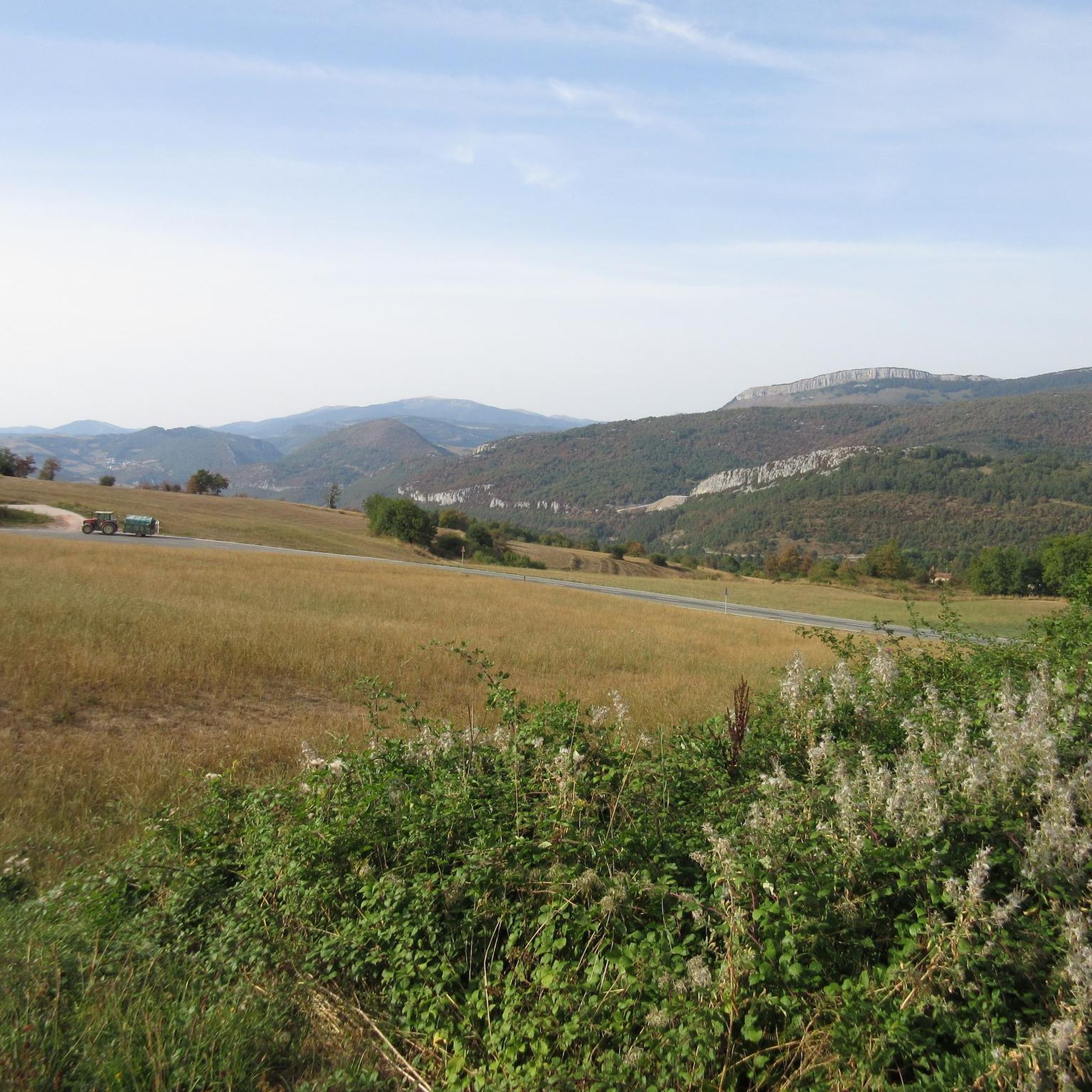

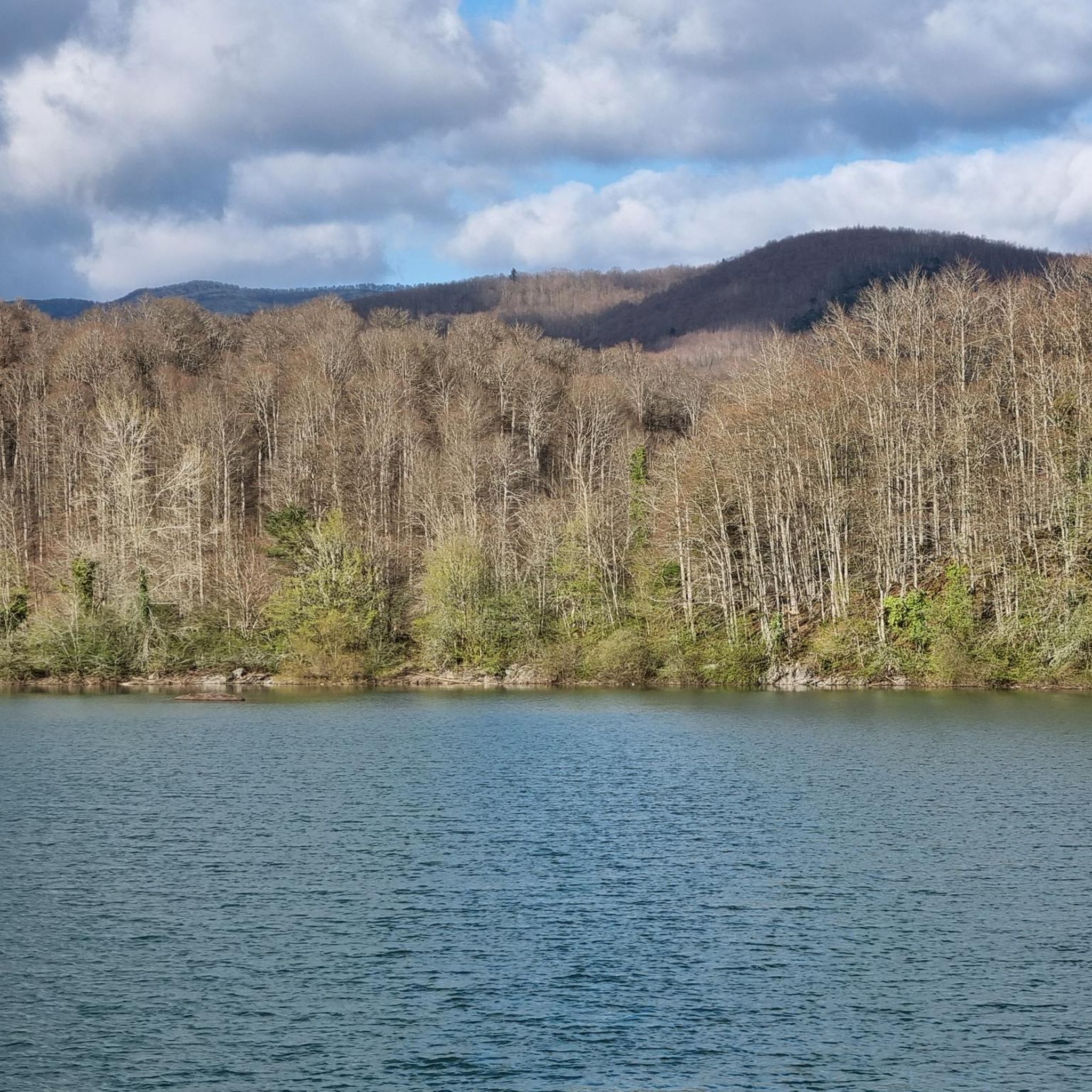
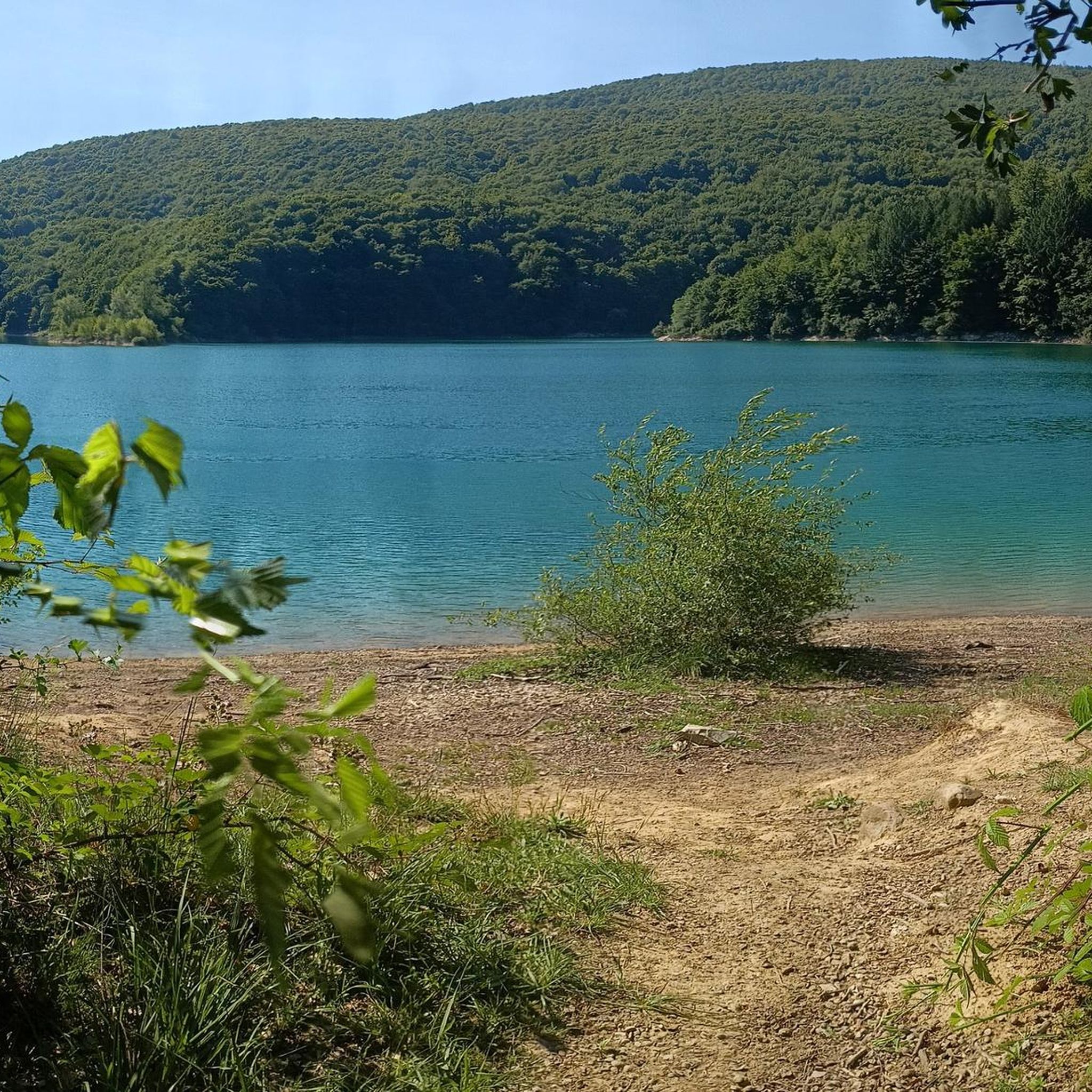
Tips from the Community

It is a typical Basque town in the Navarrese Pyrenees where we stopped to eat some tapas after walking the Irati Xterm route in the opposite direction. We were on a terrace enjoying the sun after a day of lots of rain, fog and cold on the French side. It was worth the stop and recovery before facing the last port of the day.
0
0
The views from the top are wonderful. You have to stand quietly to enjoy the beauty, especially on sunny spring and summer days.
0
0
It is a beautiful port of about 8 - 9 km for each of its slopes that connects Ochagavía with the sanctuary of Nuestra Señora de las Nieves in the Irati Jungle, one of the entrances to the forest. It is highly recommended to try both slopes because, although similar in length and hardness, they are very different in terms of landscape. The southern slope of Ochagavía is very open, with views of the valley and the surrounding mountains at all times, crossing mountain meadows. On the other hand, on its northern slope, the climb runs through the Irati Forest surrounded by beech trees. The final part of this slope is clear, although you are inside a very charming gorge. The views from the top are simply wonderful. It is worth stopping carefully, observing the views and taking some photos. It is usually windy, so a windbreaker is essential.
0
0

Before reaching Irati there is this hill with a magnificent viewpoint. If you're lucky you'll see the area's semi-wild horses up close. It is a port with a constant slope, it is long and it is beautiful
1
0

Abodi is a peak in the Navarrese Pyrenees that is close to 1,500 meters high. It offers beautiful panoramic views of other peaks and the typical green slopes of this area.
1
0

The top of Abodi (or Irati) is located at 1494 meters above sea level and offers wonderful 360 degree panoramic views of the entire Irati mountains and jungle and the Navarrese Pyrenees.
2
0
Considered one of the access gates to the Selva de Irati, this viewpoint at 1,355 meters above sea level is quite a challenge, but one that will be highly rewarded by being able to enjoy the wonderful panoramic views.
2
0
Considered one of the access gates to the Selva de Irati, this viewpoint is already a classic cyclist and the ascent to its 1355 meters above sea level is quite a challenge, but it will have a great reward to be able to enjoy the wonderful panoramic views.
2
0
Frequently Asked Questions
How many hiking trails are available in Abaurrepea/Abaurrea Baja?
There are over 75 hiking trails in Abaurrepea/Abaurrea Baja, offering a diverse range of experiences from easy walks to more challenging ascents. The region is known for its varied terrain within the Pyrenean foothills.
Are there easy hiking trails suitable for beginners or families?
Yes, Abaurrepea/Abaurrea Baja offers 17 easy hiking trails. A great option for families or beginners is the Tapla Pass – Abodi loop from Taplako begiratokia, which is an easy 4.2-mile route through a mountain pass with less elevation gain.
What is the best time of year to go hiking in Abaurrepea/Abaurrea Baja?
The best time to hike in Abaurrepea/Abaurrea Baja is typically from spring through autumn (May to October), when the weather is milder and the trails are most accessible. Spring brings lush greenery, while autumn offers vibrant fall colors. Some higher elevation routes might be affected by snow earlier or later in the season.
Are there any challenging hikes for experienced trekkers?
Yes, for experienced hikers, there are 11 difficult trails in the region. These routes often feature significant elevation gains and cover longer distances, providing a rewarding challenge amidst the Pyrenean foothills.
Can I find trails with waterfalls in Abaurrepea/Abaurrea Baja?
Yes, the region features natural attractions including waterfalls. You can explore the area around the El Cubo Waterfall, which is a notable highlight in the Natural Monuments around Abaurrepea/Abaurrea Baja.
Are there any circular walks in the area?
Yes, many trails in Abaurrepea/Abaurrea Baja are designed as loops, allowing you to start and end at the same point. An example is the The guide – Zamariain Viewpoint loop from Garaioa, a moderate 9.2-mile route offering scenic views.
What kind of natural attractions can I explore along the hiking trails?
Beyond the stunning landscapes, hikers can discover various natural attractions. These include the Tapla Pass, the Abodi Range, and the serene Irabia Reservoir. These highlights offer diverse scenery and points of interest.
What do other hikers enjoy most about the trails in Abaurrepea/Abaurrea Baja?
The trails in Abaurrepea/Abaurrea Baja are highly rated by the komoot community, with an average score of 4.6 stars from over 300 reviews. Hikers often praise the diverse terrain, scenic viewpoints, and the opportunity to explore natural reserve areas.
Are there good viewpoints along the hiking routes?
Absolutely. The region is characterized by scenic viewpoints. The Zamariain Viewpoint Trail is a popular moderate route specifically leading to panoramic views, offering stunning vistas of the surrounding Pyrenean landscape.
Are there any historical or cultural sites near the hiking trails?
Yes, the area offers points of historical interest. You can visit the Orbaizeta Royal Arms Factory, a significant historical site that provides insight into the region's past, often accessible from various hiking routes.
Is public transport available to reach the trailheads in Abaurrepea/Abaurrea Baja?
Public transport options to specific trailheads in this rural Pyrenean region can be limited. It's advisable to check local bus schedules for connections to larger towns or consider driving, as many trailheads are more easily accessed by car.
Where can I park when hiking in Abaurrepea/Abaurrea Baja?
Parking is generally available near popular trailheads and villages throughout Abaurrepea/Abaurrea Baja. Look for designated parking areas or roadside spots, especially near starting points of well-known routes. Always ensure you park responsibly and do not obstruct local access.
Are there any hidden gem hikes or less-known trails in the region?
While specific 'hidden gems' are often discovered through local exploration, the region's extensive network of over 75 trails means there are many less-frequented paths beyond the most popular ones. Exploring routes like the Baigura (1,474 m) – Baigura loop from Aristu can lead to quieter experiences and unique perspectives of the Pyrenean foothills.
Most popular routes around Abaurrepea/Abaurrea Baja
Most popular attractions around Abaurrepea/Abaurrea Baja

Get inspired with the komoot mobile app


Explore more
Browse the best Hikes in other regions.
