The best walks and hikes around Aldeamayor De San Martín
4.5
(43)
360
hikers
78
hikes
Hiking around Aldeamayor de San Martín offers routes through the flat, agricultural landscapes of the Valladolid province in Spain. The terrain is generally characterized by open fields, river valleys, and occasional pine forests. Trails often follow the banks of rivers like the Duero and Cega, providing level paths. The region's low elevation means routes typically feature minimal ascent and descent.
Best hiking trails around Aldeamayor De San Martín
- The most popular hiking route is Tudela de Duero — circular por…
Last updated: July 4, 2026
4.0
(1)
3
hikers
14.6km
03:44
60m
60m
Moderate hike. Good fitness required. Easily-accessible paths. Suitable for all skill levels.
5.0
(1)
7
hikers
14.0km
03:42
130m
130m
Moderate hike. Good fitness required. Easily-accessible paths. Suitable for all skill levels.

Sign up for free
1
hikers
3.34km
00:51
10m
10m
Easy hike. Great for any fitness level. Easily-accessible paths. Suitable for all skill levels.
8.86km
02:23
110m
110m
Moderate hike. Good fitness required. Mostly accessible paths. Sure-footedness required.
5.0
(1)
23
hikers
11.6km
02:58
40m
40m
Moderate hike. Good fitness required. Easily-accessible paths. Suitable for all skill levels.
Get access to more routes and recommendations from other explorers.
Sign up for free
Already have an account?
Our route recommendations are based on thousands of hikes, rides, and runs completed by other people on komoot.
Start today with a free account
Your next adventure awaits.
Login or Signup

Tips from the Community

The Senda del Duero in Tudela de Duero is a charming part of the GR-14 trail, also known as the Duero Natural Path. This trail is perfect for enjoying nature and the tranquility of the Duero River.
2
0

The castle of Portillo stands on top of a hill that dominates Tierra de Pinares. Built in the 14th century and restored in the 15th century, the castle was the scene of the arrest and imprisonment of Álvaro de Luna. It represents the power and wealth of its lords, with a square structure, keep, barbican and three fortified gates. In its parade ground there is a well more than 30 meters deep.
1
0

Finally we find the stone pine that gives its name to this route, the Canaleja pine, also known as "Pino Gordo".
2
0
Beautiful wooden footbridge that crosses the Cega river which gives rise to a set of beautiful and quiet paths along the river.
0
0
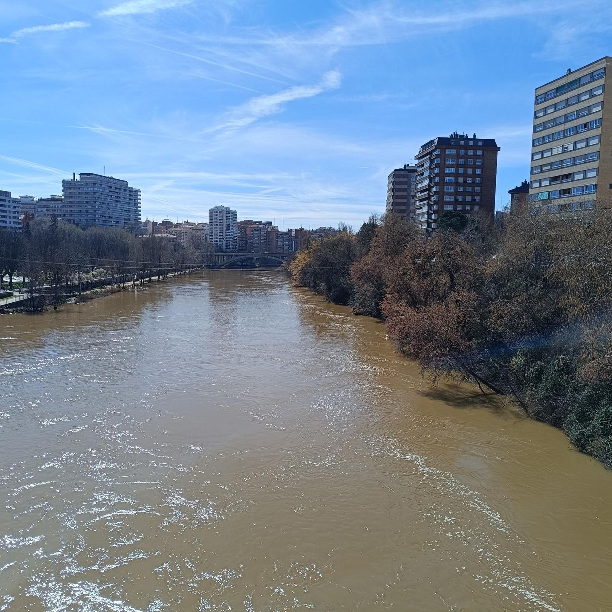
Nice stretch on the banks of the Duero River through riverside forest.
2
0
A point that is part of the PRC-VA 31 circular route in Tierra de Pinares, which starts in Portillo, is about 12.5 km with hardly any elevation gain and low difficulty.
7
0
Of very remote origin, it is already mentioned in the Arab incursions through Castile in the 10th century, in its current structure the castle appears at the end of the 14th century and at the beginning of the 15th it was a Gothic building in the hands of the Sandoval family.
10
0

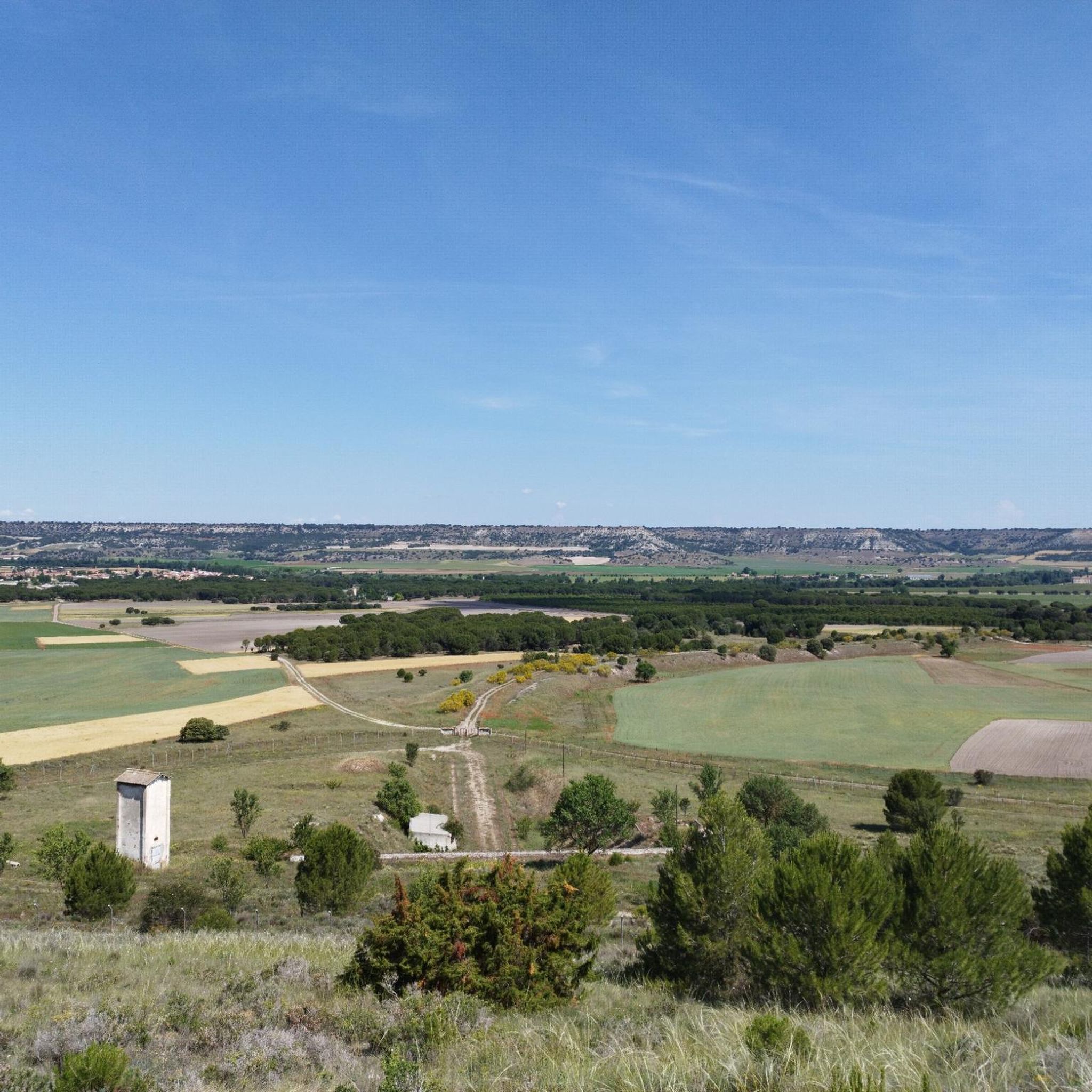
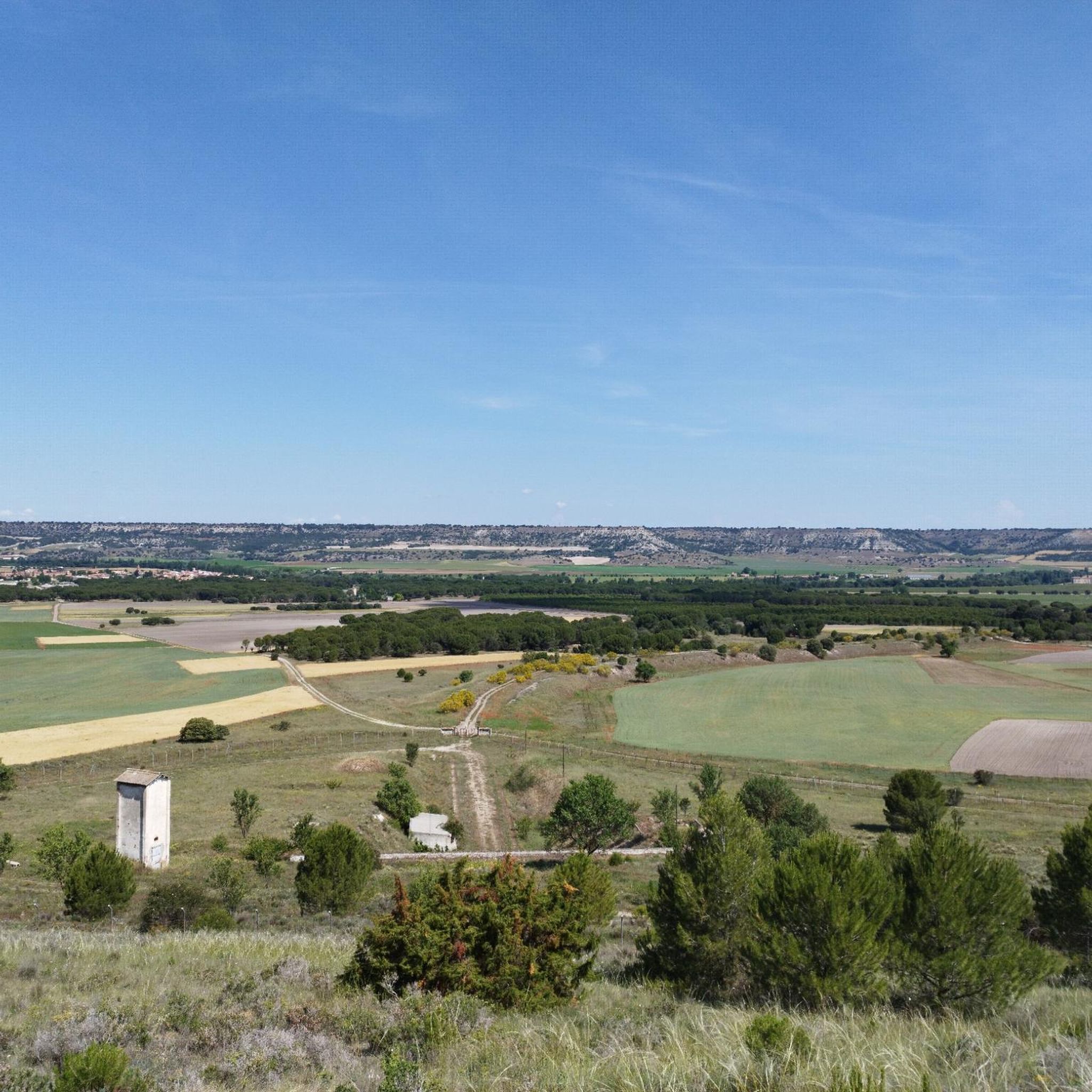
Portillo dominates the Raso of its name. Views and history
2
0
Frequently Asked Questions
How many hiking trails are available around Aldeamayor De San Martín?
There are over 80 hiking routes in the Aldeamayor De San Martín area. These trails range from easy strolls along riverbanks to moderate paths through pine forests and agricultural fields, offering diverse options for all skill levels.
Are there any easy hiking trails suitable for beginners or families?
Yes, the region offers over 30 easy trails. A great option for a relaxed walk is the Viana de Cega — circular along the banks of the Río Cega, which is just over 3 km and takes less than an hour to complete, following pleasant riverside landscapes.
What kind of terrain can I expect on hikes in Aldeamayor De San Martín?
The terrain around Aldeamayor de San Martín is generally flat, characterized by open agricultural fields, river valleys, and occasional pine forests. Trails often follow the banks of rivers like the Duero and Cega, providing level paths with minimal elevation changes.
Are there any circular hiking routes in the area?
Yes, many routes in the region are circular. For example, the Tudela de Duero — circular por la Senda del Duero (GR14) is a popular moderate circular trail following the historic Senda del Duero. Another option is the Sendero del Pino Canaleja (SLC-VA 64) — circular desde La Parrilla.
What are some interesting landmarks or attractions to see near the hiking trails?
While hiking, you can explore several points of interest. Consider visiting the Roman Bridge over the Adaja River, or enjoy the natural beauty of the Cega River Trails. The Puente Duero Beach also offers a pleasant spot by the river.
What do other hikers say about the trails in Aldeamayor De San Martín?
The trails in Aldeamayor de San Martín are highly rated by the komoot community, with an average score of 4.5 stars from over 40 reviews. Hikers often praise the quiet natural settings, the well-maintained paths, and the opportunity to explore both riverside and woodland environments.
Are there any trails that go through pine forests?
Yes, the region features trails that lead through pine woodlands. The Pino Pinilla Trail is a moderate 14 km path that specifically takes you through these forested areas, offering a different landscape from the open fields.
What is the best season for hiking in Aldeamayor De San Martín?
Given the generally flat terrain and agricultural landscape, spring and autumn are ideal for hiking in Aldeamayor de San Martín. The temperatures are milder, and the scenery is vibrant with blooming flora or rich autumn colors. Summers can be hot, making early mornings or late afternoons preferable.
Are there any trails suitable for longer, moderate hikes?
For those looking for a longer, moderate challenge, the Viana Wooden Footbridge – Bench by the Trail loop from Viana is a good option. This route covers approximately 11.6 km and typically takes around 3 hours to complete, offering a substantial walk through the regional landscape.
Are there any specific trails that follow riverbanks?
Many trails in the region utilize the river valleys. The Viana de Cega — circular along the banks of the Río Cega is a prime example, offering a pleasant walk directly alongside the Río Cega. The Senda del Duero (GR14) also follows the Duero river for sections.
Most popular routes around Aldeamayor De San Martín
Most popular attractions around Aldeamayor De San Martín

Get inspired with the komoot mobile app


Explore more
Browse the best Hikes in other regions.
