The best running trails around Herrerías
4.1
(28)
796
runners
70
runs
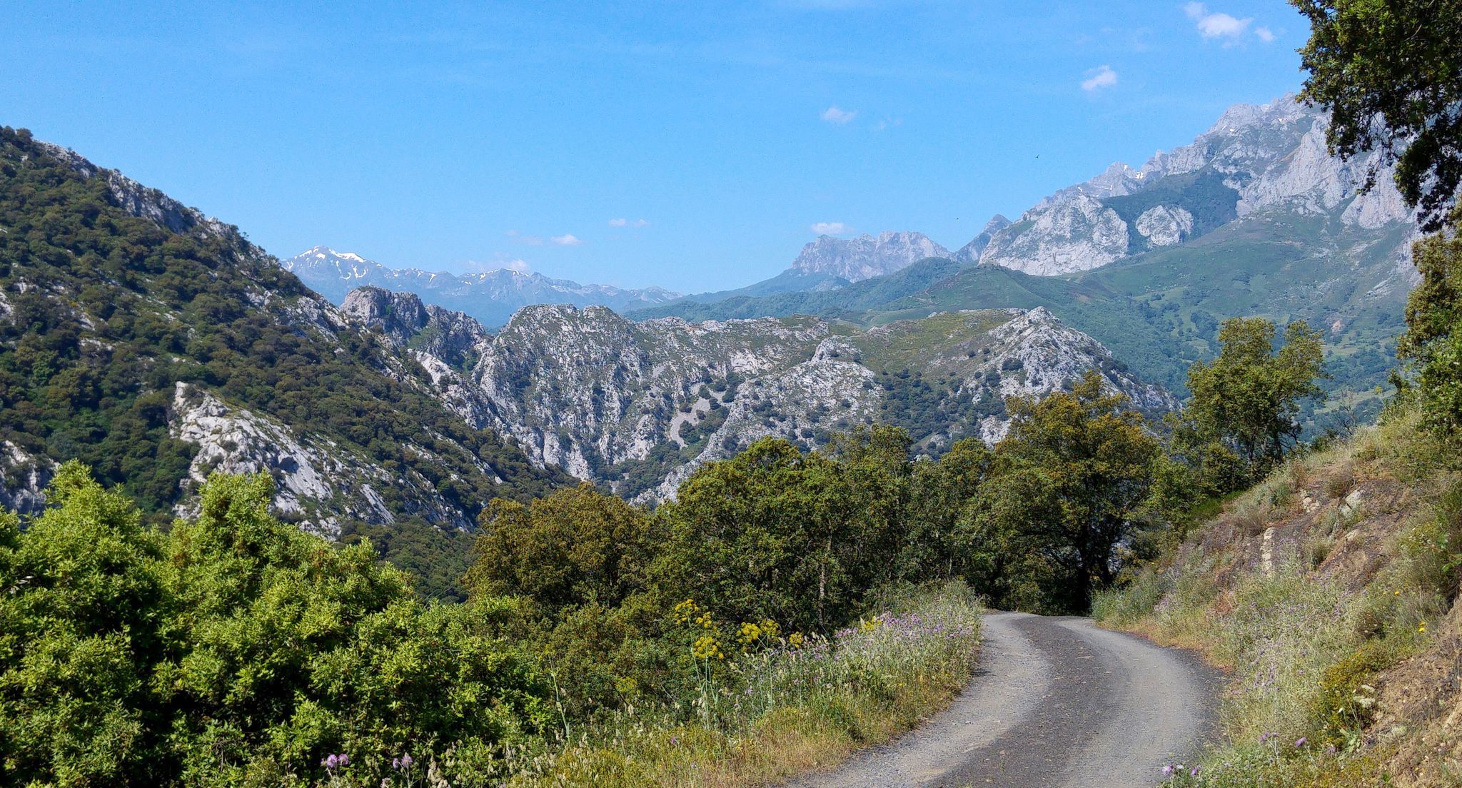
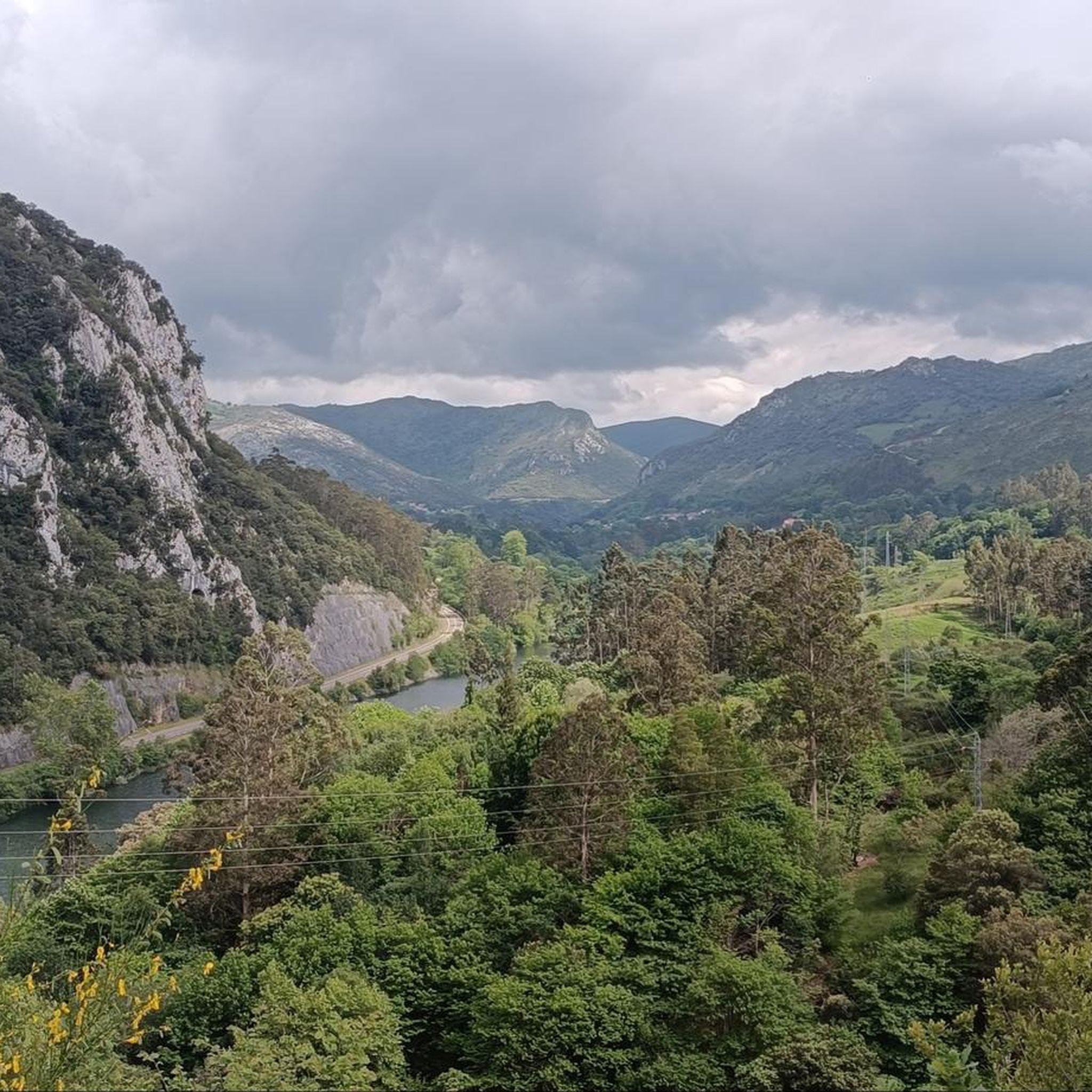
Jogging routes around Herrerías offer diverse terrain across various locations in Spain, from coastal paths to mountainous trails and serene forest tracks. The region features a mix of landscapes, including deciduous forests, extensive grasslands, and river valleys. Depending on the specific Herrerías, runners can experience varied topography, from sea-level routes to significant uphill climbs. This varied environment provides a range of running experiences for different preferences and fitness levels.
Best jogging routes around Herrerías
- The most popular jogging route is…
Last updated: July 4, 2026
3.0
(1)
11
runners
9.16km
00:58
100m
100m
Moderate run. Good fitness required. Mostly paved surfaces. Suitable for all skill levels.
4.3
(3)
20
runners
10.8km
01:10
180m
180m
Moderate run. Good fitness required. Mostly paved surfaces. Suitable for all skill levels.

Sign up for free
14
runners
4.30km
00:30
20m
20m
Easy run. Great for any fitness level. Mostly paved surfaces. Suitable for all skill levels.
10
runners
7.96km
00:51
110m
110m
Moderate run. Good fitness required. Mostly paved surfaces. Suitable for all skill levels.
3.0
(1)
11
runners
11.2km
01:21
190m
190m
Moderate run. Good fitness required. Mostly paved surfaces. Suitable for all skill levels.
Get access to more routes and recommendations from other explorers.
Sign up for free
Already have an account?
Our route recommendations are based on thousands of hikes, rides, and runs completed by other people on komoot.
Start today with a free account
Your next adventure awaits.
Login or Signup
Other adventures around Herrerías

Tips from the Community

to run near the river. various tours
1
1

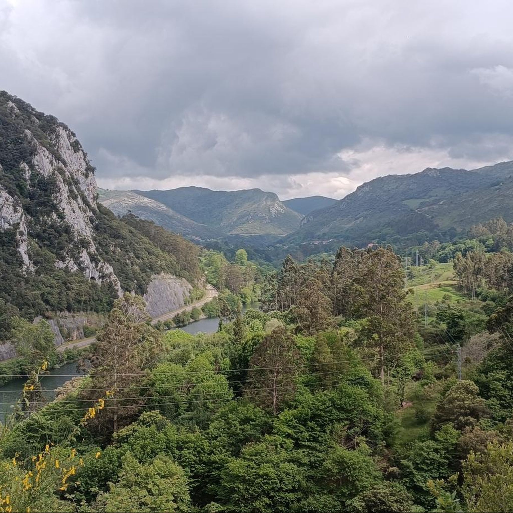
Wonderful and picturesque itinerary that runs along the Nansa riverbed and that you can start in the town of Pesués until you reach Camijanes. It is worth doing it in the spring-summer months since you can take advantage of taking a bath in one of the beaches along the route.
3
1

Beautiful panoramas on the Rio Nansa
5
0
Frequently Asked Questions
What kind of terrain can I expect on running routes around Herrerías?
The Herrerías region offers a diverse range of running terrain. Depending on the specific location, you can find coastal paths, serene river trails, and varied forest tracks. The landscape includes remnants of mixed deciduous forests, extensive grasslands, and even mountainous areas, providing options from sea-level routes to significant uphill climbs. For example, the Running along the Nansa River river trail offers a scenic riverside experience, while routes like the Access to Pechón – Viewpoint of Sable Beach loop from Unquera provide coastal views.
Are there running trails suitable for beginners or those looking for an easy jog?
Yes, Herrerías offers several easy running routes. For instance, the Deva River Trail loop from Panes is an easy 4.3 km (2.7 miles) path with minimal elevation gain, perfect for a relaxed run. Overall, there are 4 easy routes available in the area.
What are some more challenging running routes in the Herrerías area?
For runners seeking a challenge, Herrerías has 16 difficult routes. A notable option is the Oyambre Natural Park – Nansa River Trail loop from Río Gandarilla, which spans 43.3 km (26.9 miles) with over 650 meters of elevation gain, offering a demanding experience through diverse landscapes.
What natural attractions or landmarks can I see while running in Herrerías?
Running routes around Herrerías often pass by beautiful natural features. You can explore areas like Oyambre Natural Park, known for its scenic beauty and coastal environments. Other highlights include the dramatic Desfiladero de Cades gorge, the tranquil Deva River, and the Santa Catalina Viewpoint, offering panoramic views. The region also features unique forests like Sauceda de Buelles and La Braña de los Tejos.
Are there any family-friendly running or walking trails in Herrerías?
Yes, many of the easier and moderate routes are suitable for families. The diverse landscapes, including forest paths and river trails, provide pleasant environments for family outings. While specific 'family-friendly' designations aren't always explicit, routes with lower difficulty and shorter distances, such as the Deva River Trail loop from Panes, are generally good choices for families.
Can I bring my dog on the running trails in Herrerías?
Herrerías, particularly in regions like Cantabria and Sierra de Cazorla, offers many natural areas that are generally dog-friendly. However, it's always advisable to check local regulations for specific natural parks or protected areas, such as Oyambre Natural Park, regarding leash requirements or restricted zones. Most forest tracks and river trails are usually suitable for running with dogs.
What is the best time of year to go running in Herrerías?
The Herrerías region, especially in Cantabria, benefits from a humid oceanic climate with warm summers and mild winters. This makes it suitable for running for much of the year. Spring and autumn offer pleasant temperatures and vibrant scenery, while summer provides warmer conditions ideal for coastal runs. Even mild winters can be good for running, particularly on lower-altitude trails.
Are there circular running routes available in Herrerías?
Yes, there are several excellent circular running routes. For example, the Access to Pechón – Viewpoint of Sable Beach loop from Unquera is a moderate 10.8 km (6.7 miles) loop offering coastal views. Another option is the Running loop from Colombres, a moderate 7.9 km (4.9 miles) route.
What do other runners say about the trails in Herrerías?
The running routes in Herrerías are highly rated by the komoot community, with an average score of 4.0 stars from nearly 30 reviews. Runners often praise the varied terrain, from scenic river paths to coastal views, and appreciate the options available for different ability levels. Over 900 runners have used komoot to explore the diverse landscapes of Herrerías.
Is public transport available to access running trailheads in Herrerías?
Access to trailheads via public transport can vary depending on the specific Herrerías location. In more populated areas or along well-known routes like parts of the Camino de Santiago, local bus services might connect to villages near trail starts. However, for more remote forest tracks or mountainous trails, personal transport might be necessary. It's recommended to check local bus routes for the specific trailhead you plan to visit.
Are there options for parking near the running routes?
Parking availability varies by trailhead. In villages and towns like Unquera or Panes, you can often find public parking areas. For routes within natural parks or more rural settings, designated parking spots may be available, though they might be limited. It's advisable to research parking options for your chosen route beforehand.
How many running routes are there in total around Herrerías?
There are over 70 running routes available around Herrerías, offering a wide variety of distances, difficulties, and scenic experiences for all types of runners.
Most popular attractions around Herrerías

Get inspired with the komoot mobile app


Explore more
Browse the best Running Trails & Routes in other regions.
