The best walks and hikes around Torrejoncillo Del Rey
5.0
(16)
21
hikers
9
hikes
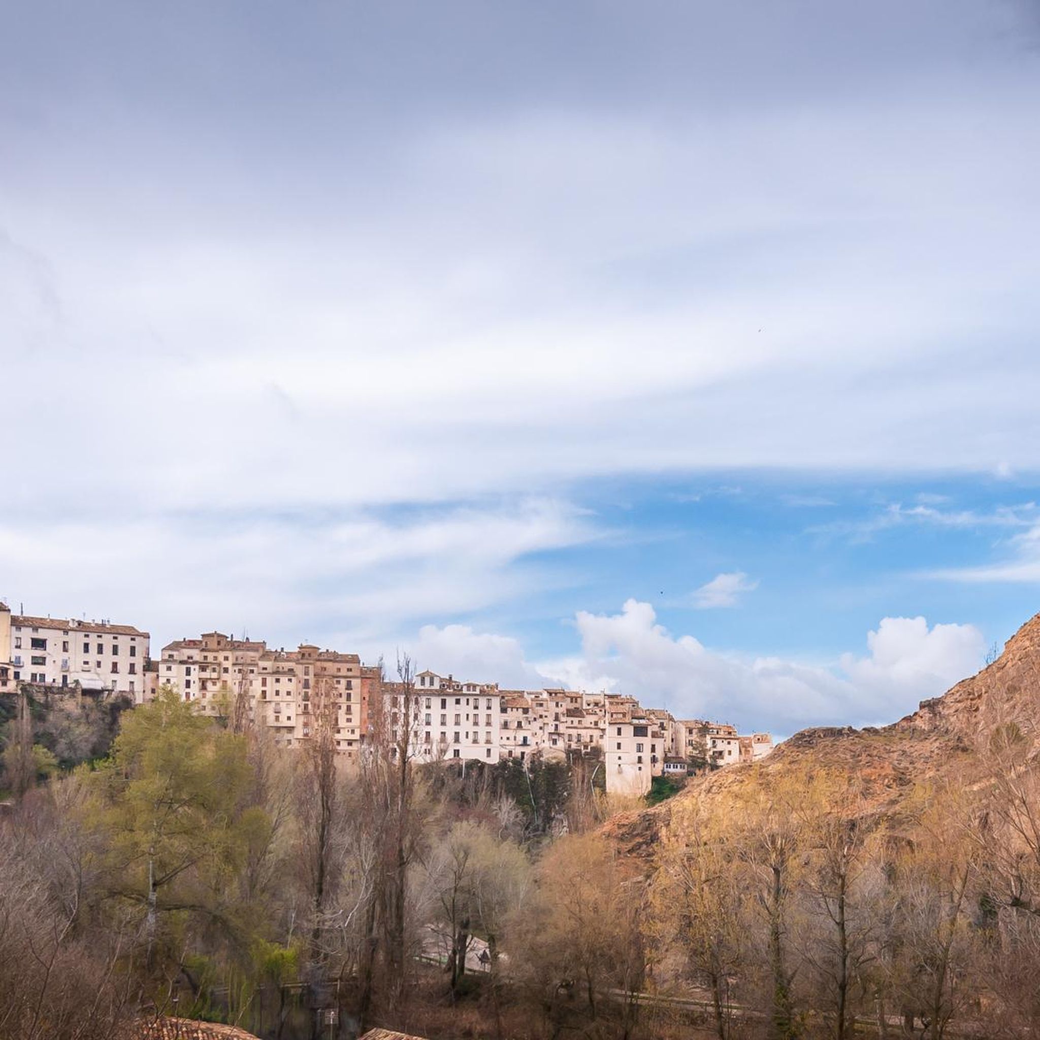
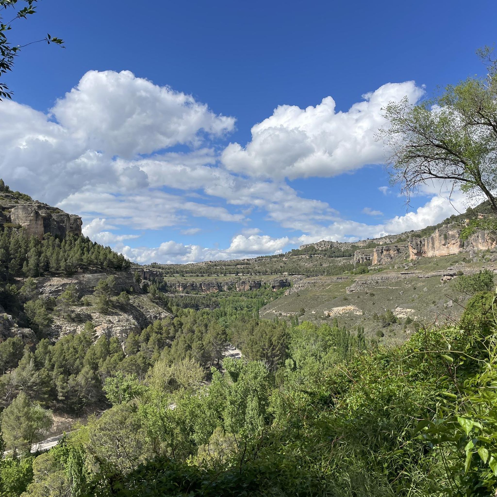
Hiking around Torrejoncillo Del Rey offers a diverse landscape experience, transitioning from the cereal plains of La Mancha to the foothills of the Alcarria and Serranía regions. The area is characterized by a succession of hills and small valleys, including the valley of the Hortizuela river, which features natural water sources. Geological formations like clay loams with gypsum crystals and marls add to the varied terrain. This blend provides a dynamic environment for outdoor exploration.
Best hiking trails around Torrejoncillo…
Last updated: May 27, 2026
5.0
(4)
4
hikers
9.52km
02:43
220m
210m
Hike the La Atalaya – circular by the path of the Enchanted Mora (PR-CU 119), a moderate 5.9-mile route with 712 feet of gain.
5.0
(3)
3
hikers
5.13km
01:21
50m
50m
Easy hike. Great for any fitness level. Easily-accessible paths. Suitable for all skill levels.

Sign up for free
5.0
(2)
2
hikers
8.04km
02:17
180m
180m
Moderate hike. Good fitness required. Easily-accessible paths. Suitable for all skill levels.
Moderate hike. Good fitness required. Easily-accessible paths. Suitable for all skill levels.
5.0
(4)
5
hikers
Moderate hike. Good fitness required. Easily-accessible paths. Suitable for all skill levels.
Get access to more routes and recommendations from other explorers.
Sign up for free
Already have an account?
Our route recommendations are based on thousands of hikes, rides, and runs completed by other people on komoot.
Start today with a free account
Your next adventure awaits.
Login or Signup
Popular around Torrejoncillo Del Rey

Tips from the Community

From this point you choose if you want to take the route up the hill, towards La Atalaya, or if you want to go on the flat towards Torrejoncillo. A few meters away, if we continue towards Torrejoncillo, on the right there is a path that leads to what was Molino Botijas. One of the 3 mills of Horcajada.
1
0
From this point we can detour to visit Muriel's hut just 300 meters away. It is a crossroads of 4 paths and only 3 are indicated. If we follow the 4th we go directly to Torrejoncillo along an old path surrounded by a stone wall but full of undergrowth.
1
0
Flattened hill where remains of ceramics have been found and it is known that there were settlements due to its elevated location and proximity to the source of the Carretero.
1
0
Ruins of an old hermitage
1
0

Beautiful views of sunflower fields that, in the flowering season, dye these fields a beautiful yellow color.
2
0
Aqueduct that connects the Tagus and Segura basins.
1
0
Castilian-La Mancha town located 950m where we find some Iberian, Visigothic and Muslim vestiges. In fact, the name comes from the Arabic "sazja" which means rock or mountain.
2
0
Beautiful windmill restored to commemorate the Manchegan emblem of Don Quixote.
2
0
Frequently Asked Questions
How many hiking trails are available in Torrejoncillo Del Rey?
There are nearly 10 hiking trails in Torrejoncillo Del Rey, offering a range of experiences from easy walks through fields to moderate routes exploring historical sites and natural features.
What types of landscapes can I expect to see while hiking in Torrejoncillo Del Rey?
The region offers a diverse landscape, transitioning from the cereal plains of La Mancha to the foothills of the Alcarria and Serranía. You'll encounter a succession of hills and small valleys, including the Hortizuela river valley, and unique geological formations with clay loams and gypsum crystals. Elevated points often provide panoramic views, especially at sunset.
Are there any easy hiking trails suitable for beginners or families?
Yes, Torrejoncillo Del Rey has several easy trails. For instance, the Hiking through the fields of Palomares del Campo is a 3.2-mile route that takes about 1 hour and 21 minutes, perfect for a relaxed outing.
What are some notable natural features or landmarks to look out for on the trails?
Hikers can explore the valley of the Hortizuela river with its natural water sources and geological formations. The area is also known for its historical Roman gypsum mines, such as those explored on the Trail of the Enchanted Moor (PR-CU 119). You might also find interesting rock-cut necropolises, like the Rock-Cut Necropolis with Carved Symbol or the Rock-cut Necropolis of Buenafuente del Sistal, and viewpoints offering scenic vistas, such as Views of Verdelpino de Huete.
Are there any circular hiking routes in the area?
Yes, several routes are circular. A popular option is the Windmill and Tajo-Segura transfer — circular from Zafra de Záncara, which is a moderate 5.0-mile path offering views of windmills and the surrounding countryside.
What is the best time of year to go hiking in Torrejoncillo Del Rey?
The region's climate makes spring and autumn ideal for hiking, offering pleasant temperatures and vibrant natural scenery. Summers can be hot, especially in the open plains, while winters are generally mild but can be chilly.
Can I bring my dog on the hiking trails?
Many trails in rural Spain, including those around Torrejoncillo Del Rey, are generally dog-friendly. However, it's always advisable to keep your dog on a leash, especially near livestock or in protected natural areas, and to carry water for both yourself and your pet.
What do other hikers enjoy most about the trails in Torrejoncillo Del Rey?
The trails in Torrejoncillo Del Rey are highly rated by the komoot community, with an average score of 5.0 stars. Hikers often praise the diverse terrain, the historical Roman mine remnants, and the tranquil rural atmosphere.
Are there any routes that explore historical sites?
Absolutely. The Trail of the Enchanted Moor (PR-CU 119) is a prime example, leading you through well-preserved historical Roman gypsum mines, known as 'Lapis Specularis'.
Are there any viewpoints or scenic spots along the hiking routes?
Yes, the transition from plains to hills offers many scenic spots. Elevated points, particularly near the Ermita or Cueva de la Esperanza, are highlighted for their panoramic views, especially beautiful at sunset. The area near Zafra de Záncara also offers routes with spectacular views.
What is the typical duration for hikes in Torrejoncillo Del Rey?
Hike durations vary depending on the route and your pace. Shorter, easy trails like the Hiking through the fields of Palomares del Campo can be completed in about 1 hour 21 minutes, while moderate routes such as the Trail of the Enchanted Moor (PR-CU 119) typically take around 2 hours 43 minutes.
Is public transport available to reach the trailheads, or is parking generally accessible?
While specific public transport options to individual trailheads might be limited in this rural area, parking is generally accessible in and around Torrejoncillo Del Rey and nearby villages, making it convenient for those traveling by car to access the hiking routes.
Most popular attractions around Torrejoncillo Del Rey

Get inspired with the komoot mobile app


Explore more
Browse the best Hikes in other regions.
