The best walks and hikes around Gallinero De Cameros
4.5
(18)
158
hikers
30
hikes
Hiking around Gallinero De Cameros offers a diverse landscape characterized by rolling hills, dense woodlands, and river valleys. The region features varied terrain, from gentle paths suitable for leisurely walks to more demanding trails with significant elevation changes. This area provides opportunities for exploring natural environments and local features.
Best hiking trails around Gallinero De Cameros
- The most popular hiking route is GR 190: Altos Valles Ibéricos Loop, a 16.9 miles (27.1 km) trail that takes 8 hours 14…
Last updated: July 4, 2026
18.6km
05:15
390m
390m
Hike the difficult 11.6-mile (18.6 km) Embalse de González Lacasa circular route, gaining 1283 feet (391 metres) with reservoir and mountain
4.3
(3)
17
hikers
7.49km
02:11
210m
210m
Moderate hike. Good fitness required. Easily-accessible paths. Suitable for all skill levels.

Sign up for free
4.3
(3)
17
hikers
12.8km
03:50
410m
410m
Moderate hike. Good fitness required. Easily-accessible paths. Suitable for all skill levels.
3
hikers
10.1km
02:51
210m
210m
Moderate hike. Good fitness required. Easily-accessible paths. Suitable for all skill levels.
2
hikers
Moderate hike. Good fitness required. Easily-accessible paths. Suitable for all skill levels.
Get access to more routes and recommendations from other explorers.
Sign up for free
Already have an account?
Our route recommendations are based on thousands of hikes, rides, and runs completed by other people on komoot.
Start today with a free account
Your next adventure awaits.
Login or Signup
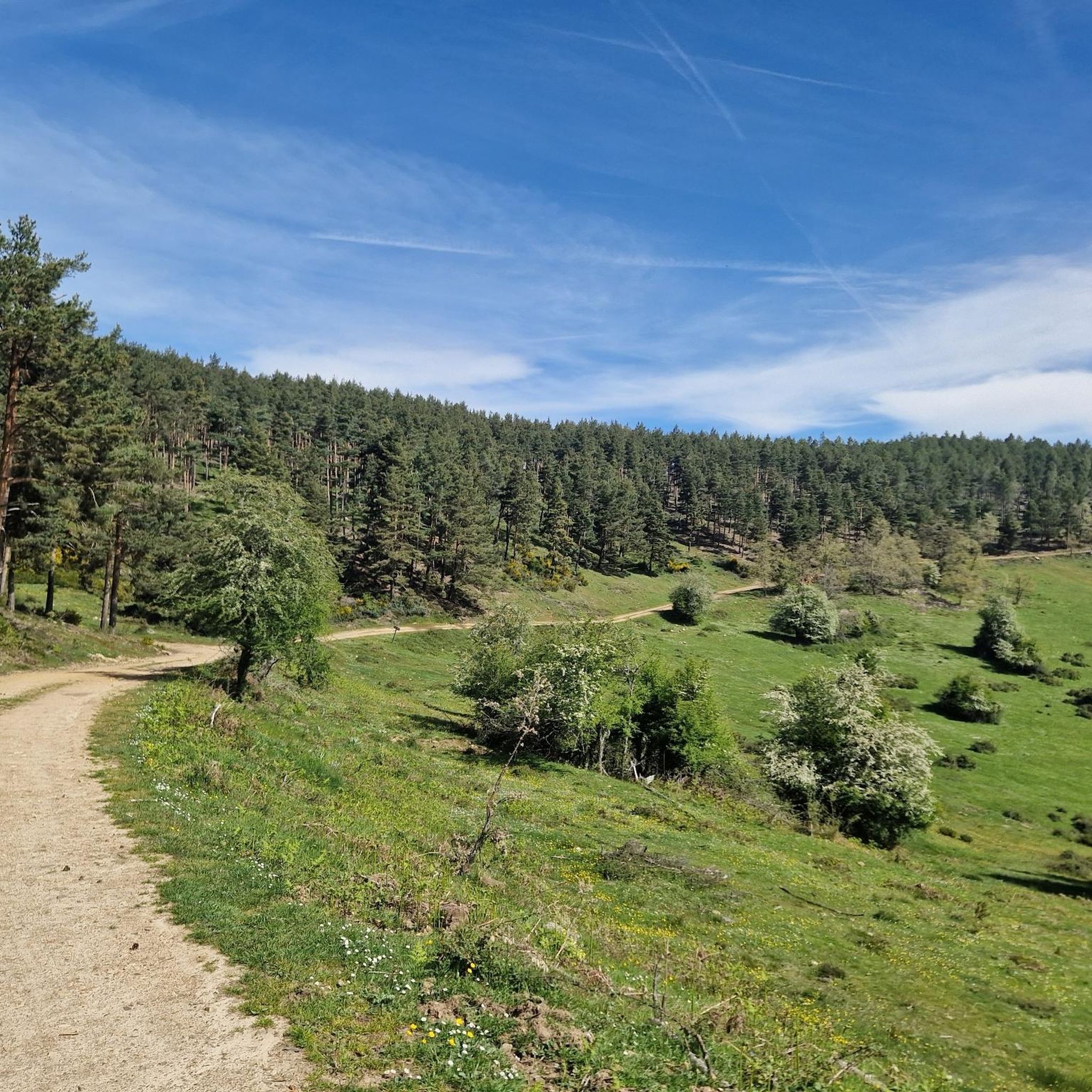

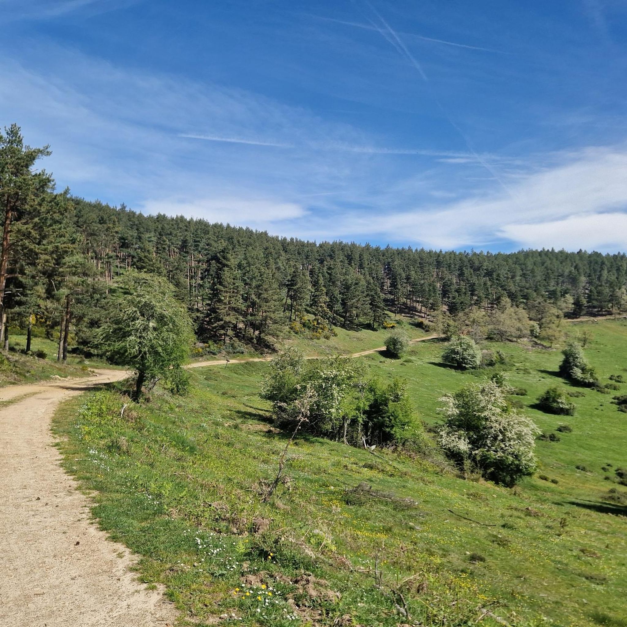
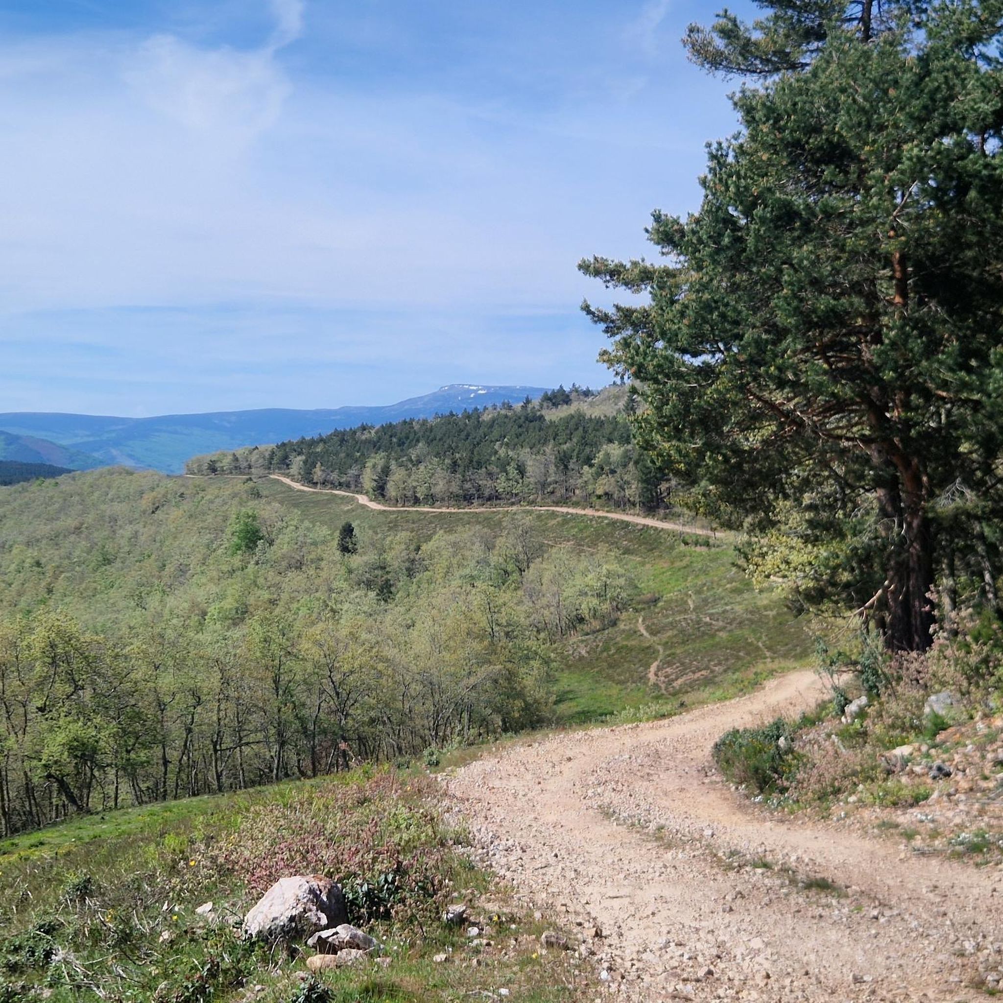
Tips from the Community

There is a very nice walk through the town! Time: about 1 hour
1
0

This trail under an oak forest is simply a mountain biker's dream.
0
0
Lumbreras de Cameros is a beautiful town in the Sierra Cebollera natural park. Its spectacular mountain setting is ideal for outdoor activities and a rural immersion getaway.
1
0

One of the most beautiful mountain villages in the Cameros region. Filled with stone houses, it is located on the slopes of a natural canyon, the Encinedo massif. This ravine was formed through a karstic process that gave rise to several chasms and caves. Two of them can be visited, the one in La Paz and the one in La Villa.
1
0
Villoslada de Cameros is a small town in La Rioja inhabited by only around 400 people. It is located in a magical setting, at the foot of the Sierra de Cebollera Natural Park.
0
0

Singular tree of the CCAA, quite deteriorated but enduring the passing of the years.
1
0
Important town of the region of Cameros.
1
0
Natural soccer field, on the esplanade under the entrance to the caves.
2
0
Frequently Asked Questions
How many hiking trails are available around Gallinero De Cameros?
There are 19 hiking trails in the Gallinero De Cameros region. These routes vary in length and difficulty, offering options for different preferences and skill levels.
Are there hiking trails for all skill levels in Gallinero De Cameros?
Yes, the region offers a variety of trails suitable for different abilities. You can find 4 easy routes, 11 moderate trails, and 4 more challenging hikes, ensuring there's something for everyone.
Can I find circular hiking routes in Gallinero De Cameros?
Yes, many trails in the area are circular. For an easy option, consider the Laguna de La Nava loop from Villoslada de Cameros, which is about 3.5 miles (5.7 km) long. A moderate circular route is the Olmo de El Rasillo – Ortigosa de Cameros loop from El Rasillo de Cameros.
Are there any family-friendly hiking trails suitable for children?
For families, shorter and easier routes are ideal. The Olmo de El Rasillo – Ortigosa Iron Bridge loop from El Rasillo de Cameros is an easy 3.7-mile (6 km) trail that can be completed in just over an hour, offering a pleasant experience for all ages.
What are some of the more challenging hikes in the area?
If you're looking for a challenge, the GR 190: Altos Valles Ibéricos Loop is a difficult 16.9-mile (27.1 km) trail with significant elevation gain, typically taking over 8 hours. Another demanding option is the González Lacasa Reservoir Loop, an 11.6-mile (18.6 km) difficult path.
What can I see along the hiking trails in Gallinero De Cameros?
The trails offer diverse natural landscapes, including river valleys, forested areas, and open hillsides. You might encounter notable landmarks such as the González Lacasa Reservoir, the historic Olmo de El Rasillo, or even the Puerto de la Rasa (1,420 m) mountain pass.
Are there any interesting historical or natural landmarks to explore nearby?
Yes, the region is rich in points of interest. Besides natural beauty, you can explore the charming village of Ortigosa de Cameros, which is also known for its caves like CuevaLobrega-I and Cueva Ventana. The Church of San Martín is another notable site.
What do other hikers enjoy most about hiking in Gallinero De Cameros?
The area is highly rated by the komoot community, with an average score of 4.6 stars from over 10 reviews. Hikers often praise the diverse terrain, from gentle paths to more demanding routes, and the opportunities to explore natural environments and local features.
Is there parking available near the trailheads?
While specific parking details for each trailhead are best checked on individual route pages, many popular starting points in the region, especially near villages like Villoslada de Cameros or El Rasillo de Cameros, typically offer designated parking areas for hikers.
What is the best time of year to hike in Gallinero De Cameros?
The best time to hike in Gallinero De Cameros is generally during spring and autumn. These seasons offer pleasant temperatures, vibrant foliage, and are ideal for enjoying the region's diverse landscapes without the extreme heat of summer or the potential snow of winter at higher elevations.
What should I wear for hiking in Gallinero De Cameros in autumn?
In autumn, layers are key. Wear moisture-wicking base layers, a warm mid-layer (fleece or insulated jacket), and a waterproof and windproof outer shell. Sturdy hiking boots are essential, and consider bringing a hat and gloves for cooler mornings or higher altitudes.
Most popular attractions around Gallinero De Cameros

Get inspired with the komoot mobile app


Explore more
Browse the best Hikes in other regions.
